
Best Family Road Trips in North America
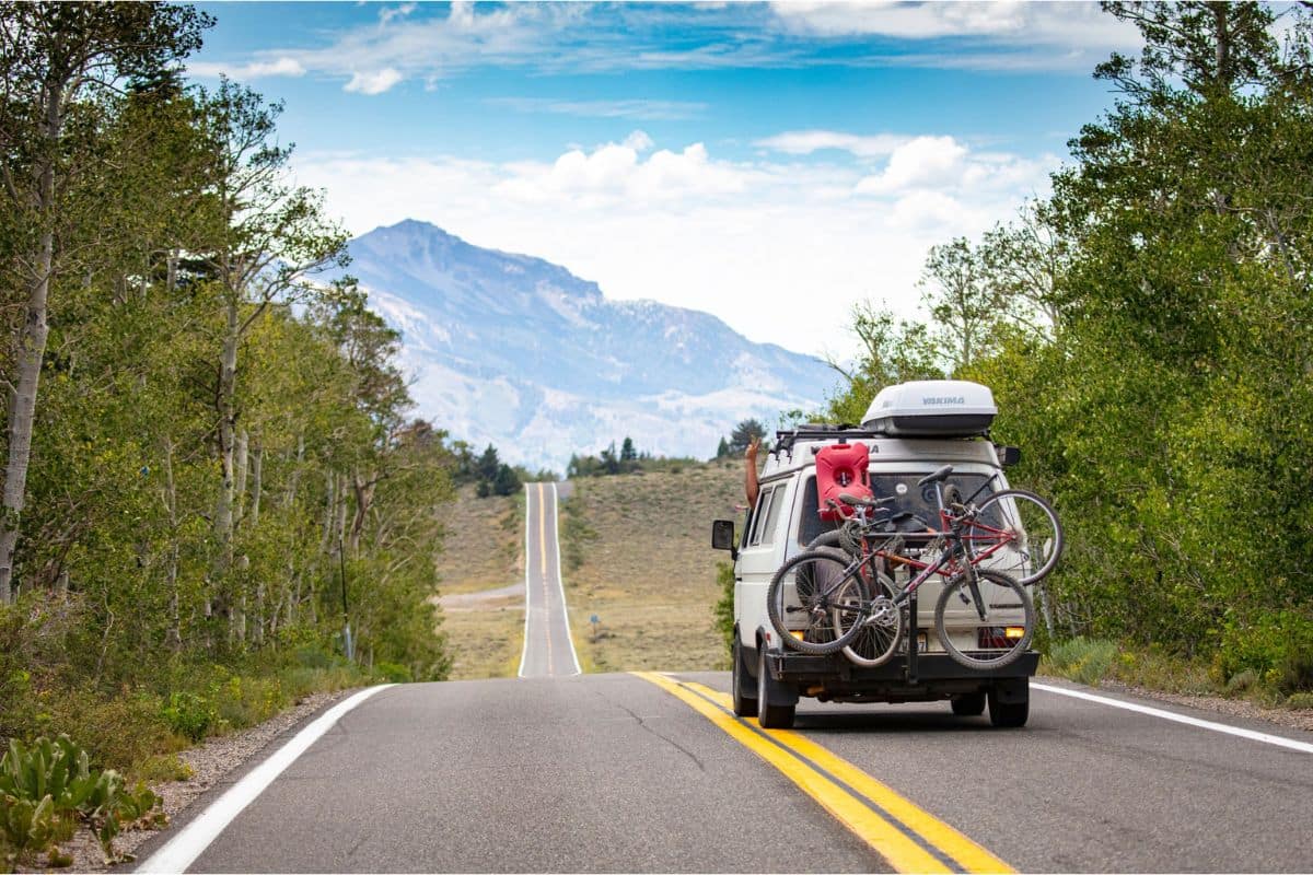
Introduction
There is something special about a family road trip that no other type of holiday can quite match.
The journey becomes part of the adventure. Every scenic overlook, roadside café, quiet lakeshore and unexpected wildlife sighting creates memories that often last longer than the destination itself. Unlike flying from one city to another, travelling by road gives families the freedom to slow down, discover places they never planned to visit, and enjoy quality time together along the way.
North America is made for road trips.
From the towering peaks of the Canadian Rockies and the turquoise lakes of Alberta to California's dramatic coastline, the deserts of the American Southwest and the winding roads of New England, there are countless journeys that combine breathtaking scenery with unforgettable family experiences. Whether you're dreaming of spotting bears in the mountains, watching whales along the Pacific coast, exploring charming small towns or visiting some of the world's greatest national parks, there's a route to suit every family.
Choosing the right road trip, however, isn't always easy. Some routes are perfect for younger children with short driving days and plenty of attractions along the way, while others are better suited to families looking for longer adventures filled with hiking, wildlife and spectacular landscapes. The best itinerary depends on your family's interests, the time you have available and the kind of memories you hope to create together.
This guide has been created to help make that decision easier.
Instead of simply listing famous drives, we'll explore some of North America's most rewarding family road trips, explaining what makes each one unique, who it's best suited for and the experiences you won't want to miss. Along the way, you'll also find practical planning advice, seasonal tips and ideas to help you get the most from every mile.
So pack the snacks, charge the camera and cue up your favourite road trip playlist. Your next unforgettable family adventure starts here.
Quick Family Road Trip Finder
Not every family dreams of the same adventure, and that's what makes a North American road trip so exciting. Some families are drawn to soaring mountain peaks and turquoise lakes, while others picture rugged coastlines, colourful autumn forests, tropical islands or wide-open desert landscapes.
Before you start planning, take a moment to think about the kind of journey your family will enjoy most.
Whether you're travelling with toddlers, adventurous teenagers or several generations together, choosing the right route can make all the difference. Use this guide to discover the road trip that best matches your family's interests, travel style and the memories you want to create.
| If your family loves... | Start with... | Perfect for... |
|---|---|---|
 Towering mountains, turquoise lakes and wildlife |
Chapter 1 Canadian Rockies |
First-time visitors, nature lovers and unforgettable mountain scenery |
 Dramatic ocean views, beaches and coastal towns |
Chapter 2 California Highway 1 |
Pacific scenery, iconic California stops and coastal adventures |
 Geysers, wildlife and spectacular national parks |
Chapter 3 Yellowstone & Grand Teton |
Outdoor adventures, geothermal wonders and America's wild landscapes |
 Tropical islands, warm water and ocean sunsets |
Chapter 4 Florida Keys |
Relaxed driving, water activities and an easy-going island atmosphere |
 Mountain scenery, waterfalls and Appalachian culture |
Chapter 5 Blue Ridge Parkway |
Easy scenic driving, family hikes and beautiful fall colour |
 Historic towns, harbours and colourful autumn scenery |
Chapter 6 New England |
History, coastal communities, fall foliage and small-town charm |
 Coastal cliffs, Celtic heritage and ocean views |
Chapter 7 Cabot Trail |
A shorter Canadian adventure packed with spectacular scenery |
 Red-rock canyons, desert landscapes and legendary roads |
Chapter 8 American Southwest |
Grand Canyon country, Route 66, history and unforgettable landscapes |
 Mountains, wild beaches, rainforest and waterfalls |
Chapter 9 Pacific Northwest |
Nature-focused families, hiking and dramatic coastal scenery |
 River towns, American history, music and regional culture |
Chapter 10 Great River Road |
Families who enjoy history, food, music and a journey that constantly changes |
 Rainforest, waterfalls, volcanoes and Hawaiian culture |
Chapter 11 Maui & the Road to Hana & Haleakalā |
Tropical scenery, culture, nature and an unforgettable island journey |
No matter which journey you choose, you'll discover that the road itself becomes part of the adventure. Along the way you'll stop at places you never expected to visit, uncover fascinating stories, enjoy local food, meet welcoming communities and create the kind of family memories that simply can't be planned on a map.
Why Road Trips Are Perfect for Families
There is a freedom that comes with travelling by road that no flight or cruise can match. You're not tied to fixed schedules or rushing through airport terminals. Instead, you set the pace. If you discover a beautiful lake, a fascinating museum or a roadside bakery that smells impossible to resist, you can simply pull over and enjoy the moment.
Road trips also encourage families to spend meaningful time together. Conversations become longer, children notice wildlife from the back seat, and even the smallest stops often become unexpected highlights. Many families discover that the moments they talk about years later aren't just the famous viewpoints—they're the spontaneous picnic beside a river, the friendly café owner who shared local stories, or the deer that quietly wandered across the road at sunset.
North America is uniquely suited to this style of travel. From glacier-carved mountain valleys and dramatic coastlines to historic highways and world-famous national parks, every region offers a different experience. Some journeys are filled with outdoor adventure, while others combine history, culture and charming small towns. Whatever your interests, there's a route that feels as though it was made for your family.
The pages that follow will help you explore some of the very best family road trips across Canada and the United States. Each one has been chosen not only for its spectacular scenery, but also for its ability to create meaningful experiences, introduce families to fascinating places and make every mile part of the adventure.
 Essential Family Road Trip Planning Tips
 Essential Family Road Trip Planning Tips
A memorable road trip begins long before you turn the key in the ignition. A little planning can make the difference between a stressful journey and one filled with laughter, discovery and unforgettable family moments. Whether you're heading into the mountains, following a dramatic coastline or exploring America's national parks, these practical tips will help your family enjoy every mile.
Choose the Right Route for Your Family
The best road trip isn't necessarily the longest or the one with the most famous attractions—it's the one that matches your family's interests and travel style.
If your children love wildlife, routes through Yellowstone or the Canadian Rockies offer exciting opportunities to spot bears, elk and bison. Families who prefer beaches and relaxed seaside towns may enjoy California's Pacific Coast Highway or the Florida Keys, while those who love history and charming villages might be drawn to New England or the Blue Ridge Parkway.
Before planning every stop, ask yourselves one simple question:
"What kind of memories do we want to create together?"
The answer will often point you towards the perfect journey.
Don't Try to See Everything
One of the biggest mistakes families make is trying to fit too much into too little time.
Road trips aren't about racing from one attraction to the next. They're about enjoying the journey itself.
Allow time for unexpected discoveries—a quiet picnic beside a lake, a family-run café, a short walk to a waterfall or a scenic viewpoint that wasn't even on your itinerary. These unplanned moments often become the stories your family remembers most.
A slower pace also means less time in the car and more time enjoying each destination.
Build in Flexible Driving Days
Driving through spectacular scenery is exciting, but children rarely measure a vacation by the number of kilometres travelled.
As a general guide:
- Young children usually appreciate regular breaks every 1½–2 hours.
- School-age children often enjoy stopping for short walks, playgrounds or picnic areas.
- Teenagers usually cope well with longer drives, especially when there's a memorable destination waiting at the end of the day.
Rather than focusing on distance alone, think about how often you'll want to stop and explore.
Timing Can Transform Your Experience
One of the easiest ways to enjoy popular destinations is simply to visit them at the right time of day.
Early mornings often bring calmer lakes, softer light, cooler temperatures and fewer crowds. Wildlife is generally more active at dawn and dusk, making these wonderful times to explore national parks.
Family Travel Insight: Many iconic viewpoints become much busier by mid-morning during peak season. Arriving early not only makes parking easier but also allows children to enjoy the experience before the busiest part of the day.
Pack for Comfort, Not Just Convenience
Road trips become much more enjoyable when everyone is comfortable.
Bring layers of clothing, refillable water bottles, healthy snacks, sunscreen, hats and a small first-aid kit. A lightweight blanket, travel pillow and favourite book or game can make longer driving days much easier for younger travellers.
Rather than packing for every possibility, pack for changing weather and changing moods.
Turn the Journey into Part of the Adventure
Some of the happiest family memories happen between destinations.
Play travel games, listen to audiobooks, create a family road trip playlist or encourage children to spot wildlife, waterfalls or unusual roadside attractions. Older children often enjoy helping to navigate or choosing the next scenic stop.
The destination may be the reason for travelling, but the journey is where many of the best memories are made.
Respect Nature and Local Communities
North America's landscapes are extraordinary because so many have been carefully protected for future generations.
Stay on marked trails, keep a safe distance from wildlife, dispose of rubbish responsibly and support local cafés, restaurants and family-owned businesses whenever possible.
Did You Know? Many of North America's most famous scenic routes pass through protected national and state parks, helping preserve spectacular landscapes while allowing millions of visitors to enjoy them responsibly each year.
Travelling thoughtfully not only protects these places but also helps ensure future families can experience them just as you did.
A Little Planning Creates a Lot More Freedom
The beauty of a road trip is its flexibility, but the best adventures still begin with a plan.
Knowing where you'll stay, understanding seasonal conditions and allowing extra time for unexpected discoveries gives you the confidence to relax and enjoy the journey. After all, family road trips aren't measured by how quickly you reach your destination—they're measured by the experiences you share along the way.
With a little preparation and a sense of adventure, you're ready to discover some of the most spectacular family road trips North America has to offer.
Get Ready for Your Family Road Trip
 Get Ready for Your Family Road Trip
Plan your family road trip with great places to stay, memorable things to do and practical travel essentials for the journey.
Find Hotels & Places to Stay
 Find Hotels & Places to Stay
Compare hotel and accommodation options for your family road trip.
🎟️ Find Things to Do Along the Way
Discover family-friendly attractions, tours and activities for stops along your route.
Family Road Trip Essentials
Pack smarter with practical travel gear for comfortable, organized family road trips.
Compare Flights & Hotels for Your Family Road Trip

↑ Back to Road Trip Finder
Chapter One
Canadian Rockies
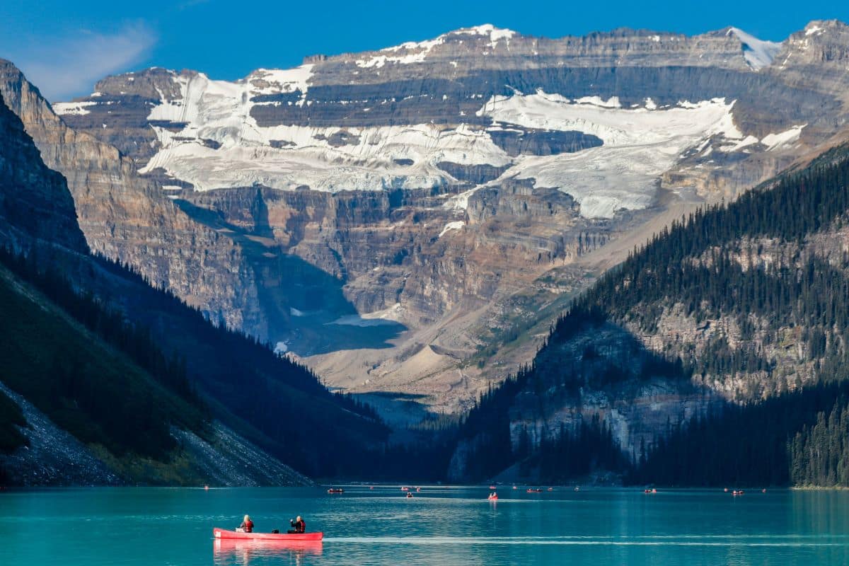
Calgary → Banff → Lake Louise → Icefields Parkway → Jasper
The Journey Begins
From Calgary to the Heart of the Rockies
For many families exploring the Canadian Rockies, the journey begins in Calgary. Alberta's largest city is a convenient arrival point, but more importantly, it's the gateway to one of the world's great mountain landscapes.
Once the rental car is loaded and Calgary begins disappearing behind us, the scenery changes surprisingly quickly. Wide-open prairie stretches toward the horizon, rolling foothills begin to appear, and then the Rocky Mountains rise across the western skyline.
For first-time visitors, this is often the moment the road trip becomes real. Children start watching for snow-capped peaks while the mountains grow larger with every mile. After months of planning and photographs, we're finally driving toward them.
Calgary — More Than a Starting Point
If time allows, Calgary deserves more than a quick trip through the airport.
The city combines modern attractions with a strong western heritage, celebrated most famously during the Calgary Stampede each July.
Families arriving a day early might visit the Calgary Zoo, explore Western Canadian history at Heritage Park Historical Village, walk through Prince's Island Park or head up the Calgary Tower for a view toward the mountains waiting in the distance.
Family Travel Insight
After a long flight, spending the first night in Calgary can be a very good investment. Everyone gets a chance to rest, adjust to the time zone, and begin the road trip refreshed rather than tired.
There's no prize for reaching Banff exhausted.
From Prairie to Mountains
Leaving Calgary on the Trans-Canada Highway gives us one of the great introductions to the Rockies.
Prairie becomes ranchland, ranchland gives way to foothills, and then the jagged peaks begin dominating the western horizon. The transition feels particularly dramatic because the mountains seem to rise almost directly from the plains rather than appearing gradually over hours of driving.
Long before reaching Banff National Park, someone in the car will probably say:
“Look at that.”
They probably won't say it only once.
Canmore — A Mountain Town Worth Stopping For
About an hour west of Calgary, we reach Canmore.
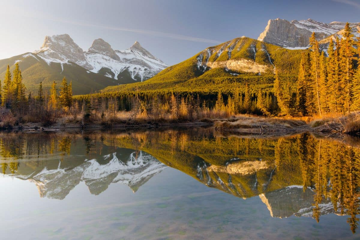
Banff may receive most of the international attention, but Canmore has become a favourite mountain base in its own right. Dramatic peaks surround a relaxed community filled with walking paths, independent cafés, restaurants, playgrounds and plenty of opportunities to get outside.
It's also an excellent place to spend the first night of the road trip. Children can burn off some energy, parents can enjoy dinner with a mountain view, and everybody gets a chance to settle into the slower rhythm that makes road trips enjoyable.
Did You Know?
Canmore began as a coal-mining community in the late nineteenth century. Today, it has transformed into one of Canada's best-known outdoor destinations while retaining much of its mountain-town character.
One of Those Moments...
Somewhere between Calgary and Canmore, the mountains suddenly fill the windshield.
The conversation in the car changes. Somebody points toward a snow-covered peak, another mountain appears behind it, and then another. For a moment, all the planning and packing seem very far away.
We're no longer looking at photographs of the Canadian Rockies.
We're driving into them.
Entering Banff National Park
Beyond Canmore, the mountains draw closer until we enter Banff National Park, Canada's oldest national park and one of the most celebrated protected landscapes in the world.
Now the Rockies surround us. Evergreen forests cover the valleys, the glacier-fed Bow River winds through the landscape and towering peaks rise on either side of the highway.
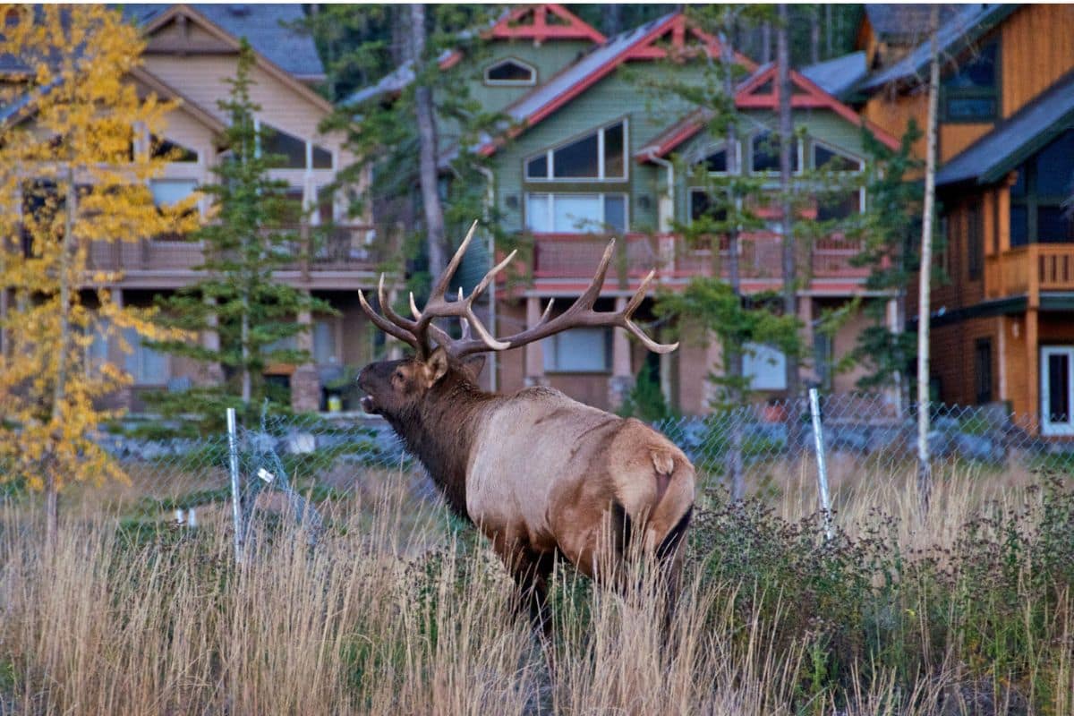
This is also where watching through the windows becomes considerably more interesting. An elk may be grazing in an open meadow, bighorn sheep sometimes appear on rocky slopes, and with considerable luck we might glimpse a bear at a safe distance.
Suddenly even the drive between stops feels like part of the adventure.
Banff — A Town Born Beside the Hot Springs
Banff's story changed dramatically in 1883, when Canadian Pacific Railway workers encountered natural hot springs on the slopes of Sulphur Mountain.
The discovery helped draw attention to the region, and in 1885 the Canadian government established a small protected reserve around the hot springs. That reserve eventually grew into Banff National Park.
More than a century later, families from around the world are still benefiting from the decision to protect this remarkable landscape.
A Town Made for Exploring
Banff balances wilderness with the comforts families appreciate after a day outdoors.
One moment we're surrounded by mountains and forest; the next we're walking along Banff Avenue past cafés, shops and family-friendly restaurants.
There's no need to fill every hour. Walk beside the Bow River, browse the town, find an ice cream or sit somewhere with a mountain view and let everyone decide what they feel like doing next.
That's one of Banff's pleasures.
The mountains remain the main attraction even when we're doing almost nothing at all.
Banff Is Worth Staying For
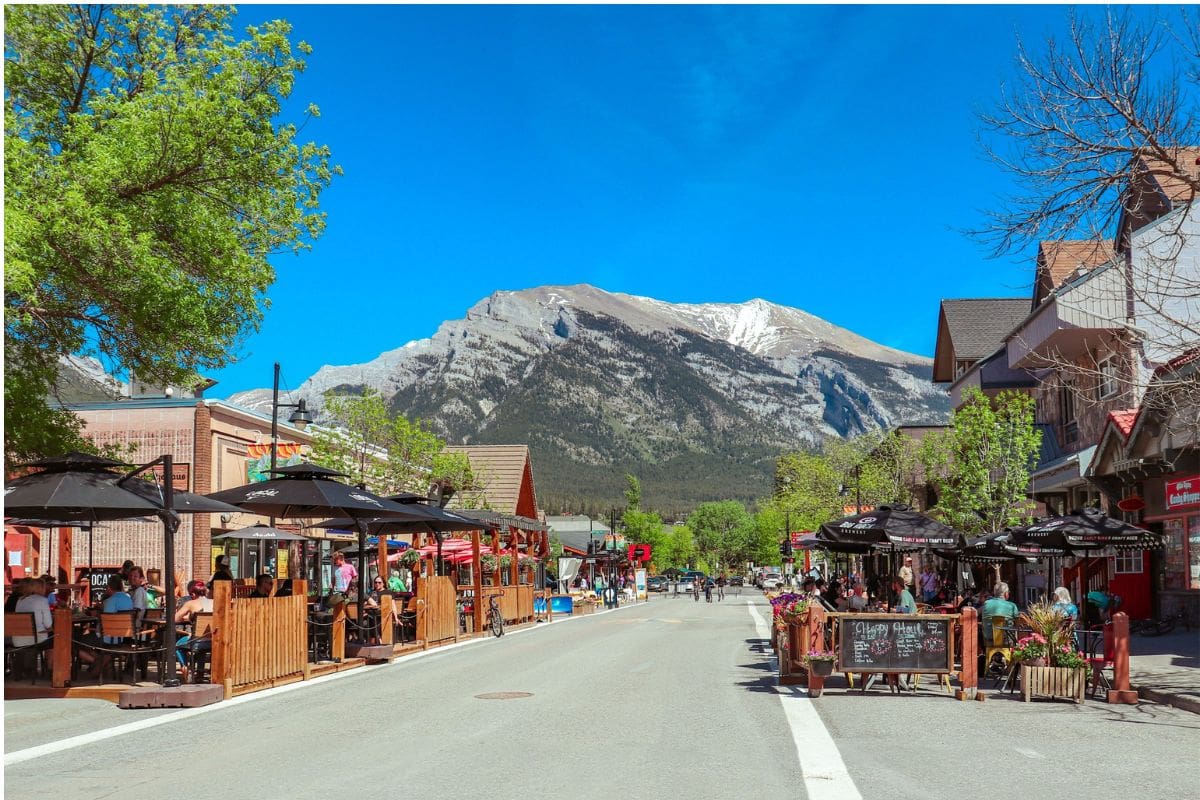
Banff isn't simply somewhere to sleep between mountain excursions. It's one of the great mountain towns of North America and deserves time of its own.
Banff Avenue forms the lively heart of town, with restaurants, cafés, bakeries and shops beneath an extraordinary backdrop of mountain peaks. It's an easy place to wander without much of a plan—have lunch, browse the shops, stop for coffee or ice cream and enjoy the fact that even an ordinary walk through town comes with a Rocky Mountain view.
Then there is the unmistakable Fairmont Banff Springs, the grand castle-like hotel overlooking the Bow Valley. Opened by the Canadian Pacific Railway in the nineteenth century and expanded over the generations, it became one of Canada's great railway hotels and helped establish Banff as an international mountain destination.
You don't need to stay there to appreciate it. Even seeing the hotel against the surrounding mountains adds another layer to Banff's story—the era when railways weren't simply transporting travellers across Canada but actively encouraging them to come and experience the country's wilderness.
From Hot Springs to Ski Slopes
The natural hot springs discovered near Sulphur Mountain played an important role in Banff's beginnings, and families can still experience that tradition at the Banff Upper Hot Springs when open and conditions permit.
There's something wonderfully satisfying about soaking in warm mineral water while surrounded by cool mountain air, particularly after a day of walking.
Banff isn't only a summer destination either. When snow covers the Rockies, the region becomes one of Canada's best-known winter playgrounds. Ski areas around Banff and Lake Louise attract skiers and snowboarders from around the world, while the town takes on an entirely different personality beneath snow-covered peaks.
That's worth mentioning even in a road-trip guide because it helps explain Banff itself. This isn't a town that closes when the summer road-trip season ends.
The mountains shape life here all year.
Family Travel Insight
I'd give Banff at least two nights if the overall itinerary allows. That provides time for the gondola and surrounding sights without sacrificing the simple pleasures of exploring town, enjoying a relaxed meal or taking an evening walk beside the Bow River.
Some destinations reward a busy itinerary.
Banff rewards having enough time not to need one.
Ride Above the Rockies
One of the best introductions to the scale of the landscape is the Banff Gondola up Sulphur Mountain.
As the gondola climbs, the town becomes smaller beneath us and the surrounding peaks stretch farther toward the horizon. At the top, viewpoints and boardwalks reveal an extraordinary panorama across the mountains and valleys surrounding Banff.
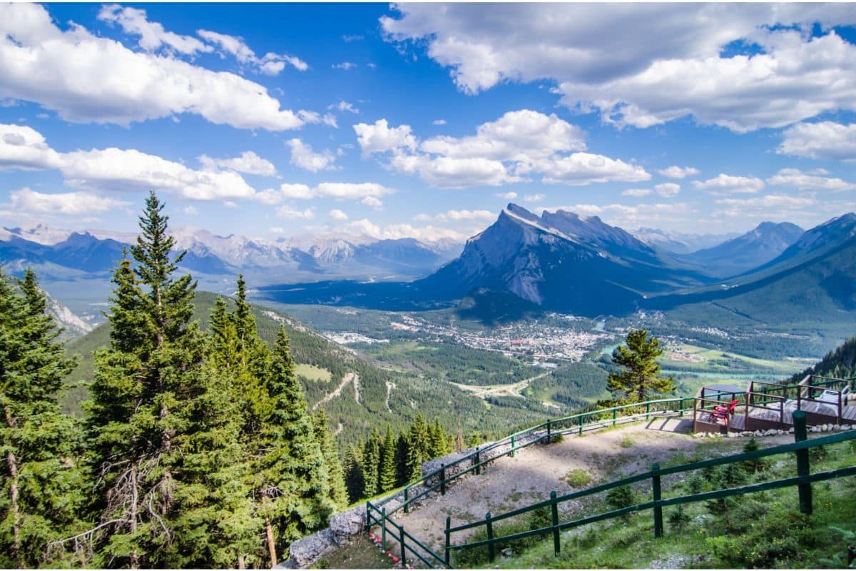
It's the sort of view that makes even enthusiastic photographers occasionally put the camera down.
Family Travel Insight
Early morning or later afternoon can be particularly enjoyable for the Banff Gondola, with softer light and often a more relaxed atmosphere than the busiest part of the day.
Whatever time you visit, allow enough time at the top that nobody feels hurried back toward the gondola.
Along the Bow River
Not every memorable Banff experience requires a ticket.
The Bow River flows through town beneath the surrounding peaks, and easy riverside paths give families somewhere to slow down after sightseeing.
Watch the glacier-fed water move past, look for birds along the shoreline and, depending on the season and location, keep an eye out for wildlife nearby. Sometimes the simplest part of the day becomes the part everybody remembers.
One of Those Moments...
Late in the afternoon, find a quiet place beside the Bow River.
The water moves steadily past while birds call from the trees. Somewhere in the distance, you may hear a train—a reminder of the railway that played such an important role in bringing early visitors to these mountains.
As the light softens across the peaks, Banff becomes quiet for a moment. There's nowhere we need to rush and nothing we need to tick off a list.
We're simply sitting beside a river in the Canadian Rockies.
And sometimes that's enough.
The Road to Lake Louise
Leaving Banff, the journey continues northwest through a landscape that seems determined to keep distracting us.
Mountains rise beyond dense forests, the Bow River follows the valley and almost every bend reveals another view worth slowing down for.
The drive to Lake Louise can take less than an hour, but there's little reason to hurry. This is the Canadian Rockies, where getting from one famous place to another is often only half the experience.
Castle Mountain — Nature's Fortress
About halfway to Lake Louise, Castle Mountain rises dramatically above the Bow Valley.
Its rugged cliffs and broad, flat-topped profile resemble the walls of an enormous stone fortress, making it one of the most distinctive mountains along this part of the route.
Millions of years of geological uplift and erosion helped create the shape we see today, although Indigenous peoples knew this landmark long before roads and railways crossed the valley.
It's easy to understand why so many travellers photograph it.
Family Travel Insight
If you want a better look at Castle Mountain, use a safe designated stopping area rather than trying to admire it while driving.
Ten relaxed minutes outside the car are considerably better than ten distracted seconds through the windshield.
Sharing the Valley With Wildlife
This stretch of the Rockies also shows how closely roads and wildlife habitats can intersect.
Elk, deer and bighorn sheep may appear along the journey, while bears and other wildlife inhabit the surrounding forests and valleys. Any sighting is exciting, particularly for children, but it comes with an important reminder:
We're travelling through their home.
Observe wildlife from a safe distance, never approach or feed animals, and follow current Parks Canada guidance.
Did You Know?
Banff National Park has an extensive network of wildlife crossings, including overpasses and underpasses designed to help animals move safely across the Trans-Canada Highway.
Bears, wolves, elk and many other species use these crossings, which have become an internationally recognised example of how transportation infrastructure can be designed with wildlife movement in mind.
Once you know they're there, you may find yourself watching for the landscaped overpasses as carefully as you're watching the mountains.
First Glimpse of Lake Louise
Then the signs begin pointing toward Lake Louise.
We've seen the photographs and probably watched the travel videos, but neither quite prepares us for walking toward the shoreline for the first time.
The trees open and suddenly the lake is there: brilliant turquoise water surrounded by towering peaks, with Victoria Glacier rising at the far end of the valley.
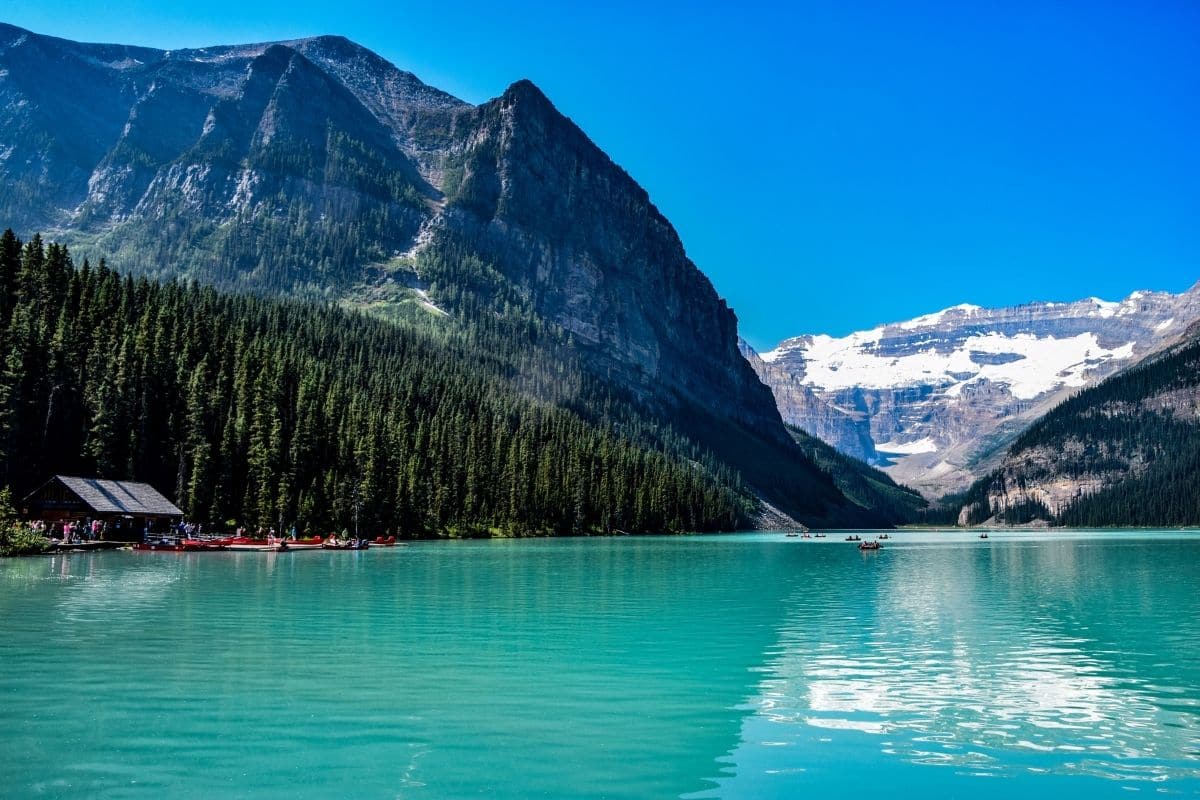
For a moment, there's really no need to do anything.
Just look.
Even after seeing hundreds of photographs, the intensity of the colour can be surprising.
Why Is Lake Louise So Blue?
The answer lies high above us.
Meltwater flowing from glaciers carries extremely fine particles of ground rock into the lake. This material, commonly called glacial rock flour, remains suspended in the water and interacts with sunlight to help produce the extraordinary turquoise colour for which Lake Louise is famous.
Knowing the science doesn't diminish the magic. If anything, it makes the view more interesting.
The colour isn't a trick of photography; it's the visible result of glaciers and mountains continuing to shape the landscape.
Family Travel Insight
Lake Louise is enormously popular, particularly during summer, so transportation is one part of this trip worth planning in advance.
Parking and shuttle arrangements can change, and access is managed during busy periods. Check the current Parks Canada information before your visit and reserve transportation ahead when required.
Taking a shuttle can also make the day much more relaxing. Instead of beginning one of the most anticipated stops of the trip by searching for parking, everybody can concentrate on enjoying the lake.
One of Those Moments...
Find a place beside the lakeshore and stay there for a minute.
Canoes move slowly across the turquoise water, meltwater descends from the mountains and voices drift along the shoreline. Then look toward Victoria Glacier at the far end of the lake.
We've only just arrived, but the forces that created this landscape have been working for thousands and millions of years. For one small moment, our family gets to stand in the middle of that much larger story.
And then, eventually, someone will probably ask what's next.
The answer is rather spectacular.
Along the Icefields Parkway
One of the World's Great Scenic Drives
Leaving Lake Louise, the towns begin to disappear and the mountains seem to grow larger.
Ahead lies the Icefields Parkway, the spectacular mountain highway connecting Lake Louise with Jasper National Park.
This isn't one of those scenic drives where we spend an hour waiting for the next good view.
The scenery barely stops.
Glaciers appear above valleys, rivers wind beneath enormous peaks and turquoise lakes emerge unexpectedly beside the road. Before long, stopping at viewpoints becomes part of the rhythm of the journey.
A Highway Through Wilderness
Travelling the Icefields Parkway today can make it easy to forget how challenging it was to build a road through this terrain.
The route opened in the twentieth century, connecting the Banff and Jasper areas through a mountain landscape that still feels remarkably wild.
There are no large towns along most of the drive and relatively few services. Instead, mountains, forests, rivers and glaciers dominate the journey.
That's part of its appeal, but it's also why a little preparation matters.
Family Travel Insight
Don't treat the Icefields Parkway as a three-hour transfer between hotels.
Give it the better part of a day if you can. Start with fuel, food and water, pack layers for changing mountain weather and allow time for viewpoints and short walks.
You won't need to stop at everything, and that's actually part of the pleasure. Choose the places that interest your family, leave some room for an unexpected stop and let the road determine some of the day.
Bow Lake — A Quieter Beginning
One of the first places worth slowing down for is Bow Lake.
Fed by meltwater from Bow Glacier, the lake sits beneath a sweeping wall of mountains and can be wonderfully peaceful, particularly earlier in the day. When the wind settles, the surrounding peaks reflect across the water and the entire landscape seems doubled.
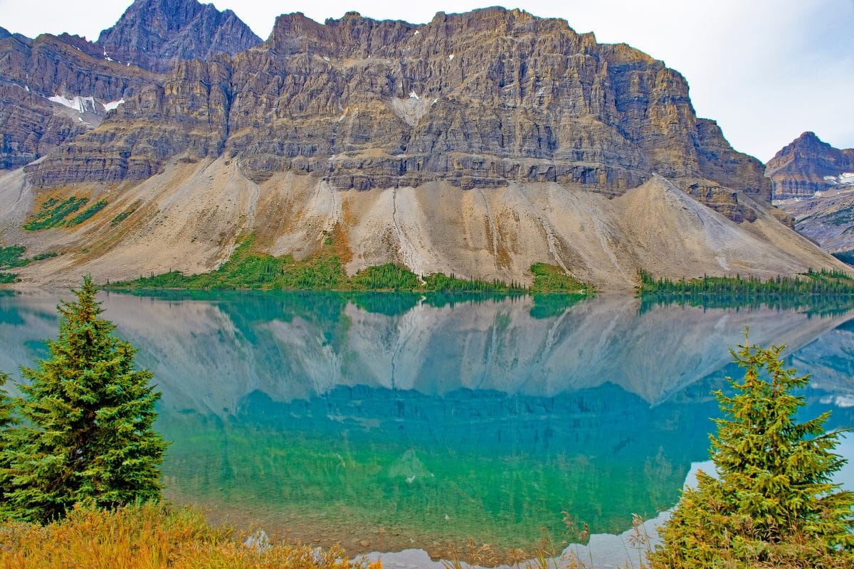
After the crowds of Lake Louise, Bow Lake can feel refreshingly simple.
There's no need to turn it into a major expedition. Get out of the car, walk beside the water, let everyone stretch their legs and enjoy the fact that we're standing in another extraordinary place without needing to accomplish anything.
Did You Know?
The Bow River begins in this part of the Rockies and eventually travels hundreds of kilometres across Alberta.
We encountered it flowing through Banff earlier in our journey. Now we're close to the mountain landscapes where its story begins.
That's one of the pleasures of a road trip like this: places that seemed separate on a map gradually begin connecting.
Peyto Lake — The View From Above
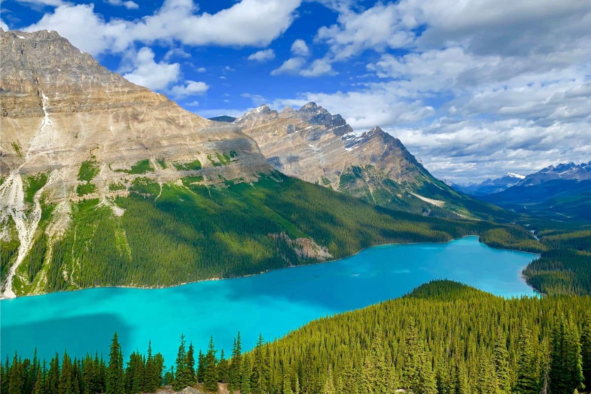
Farther along the parkway, Peyto Lake gives us a completely different perspective.
A walk from the parking area leads toward a high viewpoint overlooking one of the Canadian Rockies' most recognisable lakes.
From above, the water can appear almost impossibly turquoise, surrounded by dark evergreen forest and enormous mountain ridges. The lake's distinctive shape—often compared with the head of a wolf—makes the view even more memorable.
Photographs are beautiful, but this is one of those places where the camera struggles with scale. The mountains feel larger, the valley deeper and the lake farther below than any photograph quite manages to convey.
Family Travel Insight
Mountain viewpoints can be surprisingly cool even on a warm summer day, and weather changes quickly in the Rockies.
Keep an extra layer somewhere accessible rather than buried beneath everything in the trunk.
That advice will become even more useful as we continue toward the glaciers.
Waterfalls That Announce Themselves
Long before we see Athabasca Falls, we can hear it.
The sound grows louder as we approach until the Athabasca River suddenly surges through a narrow rocky gorge with tremendous force.
Athabasca Falls isn't remarkable because of extraordinary height. Its drama comes from the volume and power of the water.
Over time, the river has carved channels and unusual shapes into the rock, giving children an easy way to see erosion not as something that happened millions of years ago, but as a process still taking place.
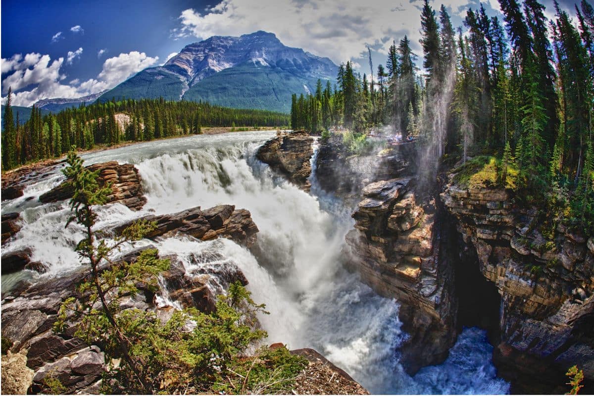
Water is reshaping the Rockies right in front of us.
Stay on designated paths and behind barriers here. Fast water and slippery rock are a combination deserving considerably more respect than the perfect family photograph.
The Columbia Icefield
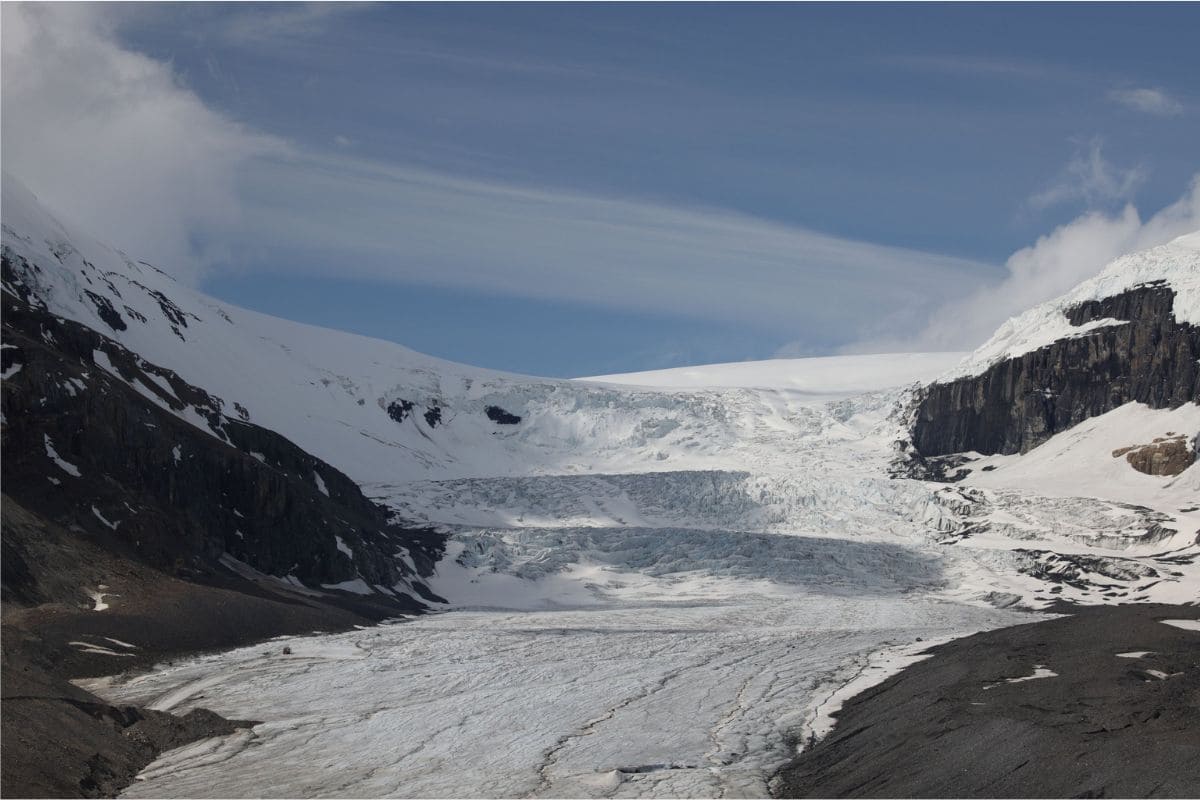
As we continue north, glaciers become increasingly prominent until we reach one of the great landmarks of the Icefields Parkway: the Columbia Icefield.
The scale is difficult to appreciate at first. This enormous body of ice feeds several major glaciers and sits near a remarkable continental divide where meltwater ultimately drains toward different ocean systems.
For children, however, the most immediate connection may be much simpler:
That's a glacier—not one in a textbook or a documentary, but a real glacier descending from the mountains in front of us.
The Athabasca Glacier, one of the icefield's most accessible glaciers, makes the changing nature of these landscapes particularly visible. Its extent has changed considerably over time, and markers in the area can help illustrate how far the glacier once reached.
Suddenly climate and geology aren't abstract subjects.
They're part of the road trip.
Family Travel Insight
Even during summer, conditions around the Columbia Icefield can feel dramatically colder than they did farther down the highway.
Bring warm layers and be prepared for wind and rapidly changing weather.
And never walk onto glacier ice independently unless you're in an area and activity specifically authorised and managed for visitors. Glaciers can contain hidden crevasses and other serious hazards that aren't obvious from the surface.
The Road Keeps Winning
By this point, we may have stopped trying to predict how long the drive will take.
That's probably a good thing.
A lake appears and we pull over, then a waterfall, then another enormous valley opens ahead and somebody asks for one more photograph. The Icefields Parkway has a way of dismantling carefully planned schedules.
Let it.
We don't need every viewpoint, and we certainly don't need photographs of every mountain. What matters is leaving enough room for the places that make everyone want to get out of the car.
One of Those Moments...
Somewhere along the Icefields Parkway, perhaps beside Bow Lake or while looking toward the Columbia Icefield, something unusual happens.
Nobody says very much.
The mountains stretch into the distance, glaciers cling to high valleys and the scale of everything makes us feel very small. Even the children may become quiet for a moment.
Shared silence like this isn't empty.
It's wonder.
And years later, that may be what we remember most clearly—not the name of every mountain or how many viewpoints we managed to visit, but the moment the whole family simply stood there and looked.
Arriving in Jasper National Park
Where the Mountains Become Quieter
As the Icefields Parkway enters its final stretch toward Jasper, the atmosphere changes almost without us noticing.
There are still enormous mountains and beautiful valleys, but the pace seems to ease. Traffic may feel lighter, viewpoints quieter and the landscape more spacious.
After Banff, Lake Louise and a full day along the Icefields Parkway, Jasper feels like somewhere we can finally exhale.
And that's exactly what makes it such a fitting final stop. We don't need another frantic itinerary.
We've reached the quieter end of the Canadian Rockies journey.
Chapter Two
California Pacific Coast Highway
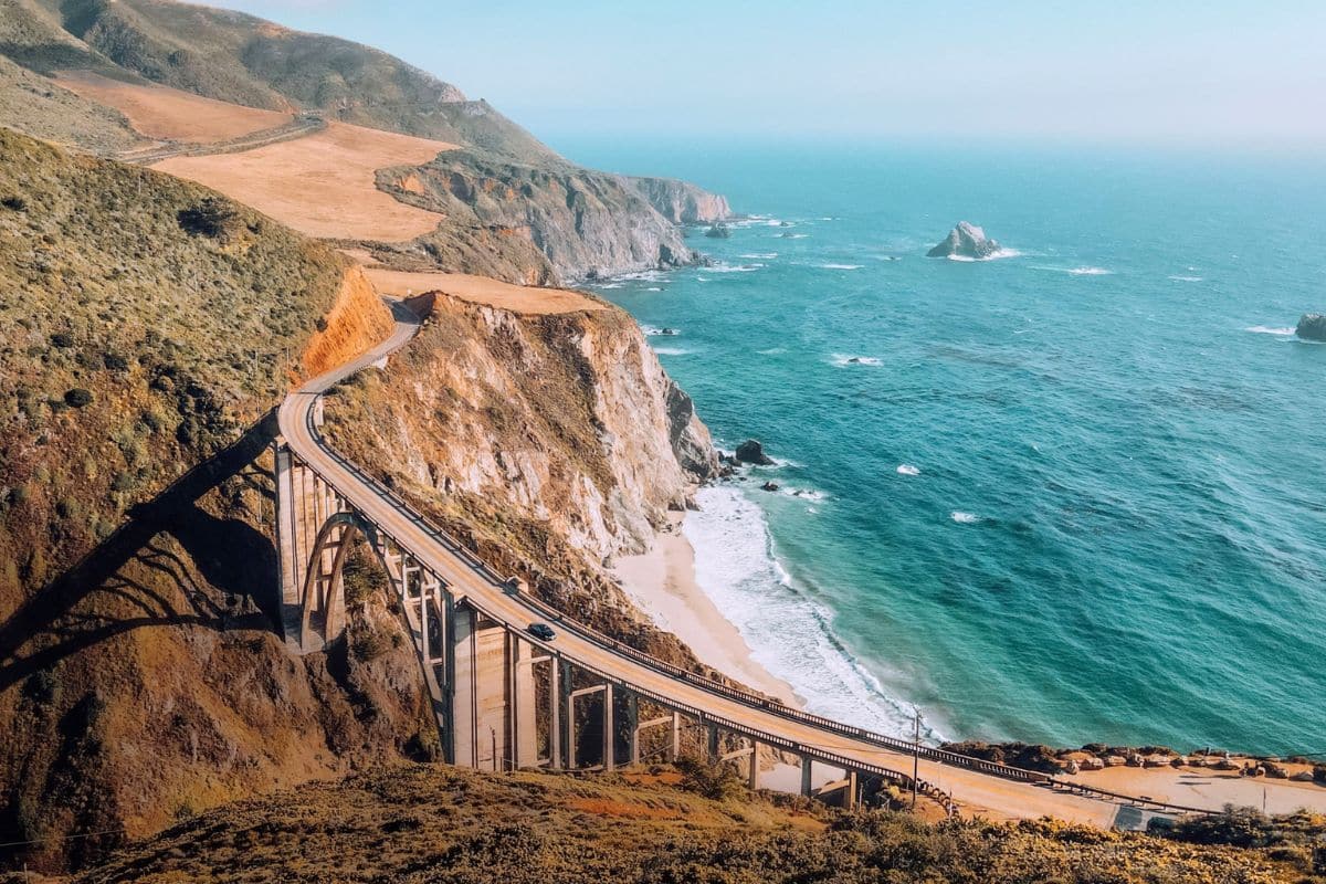
San Francisco → Half Moon Bay → Monterey → 17-Mile Drive → Carmel-by-the-Sea → Big Sur
Rugged Cliffs, Ocean Views & One of America's Great Family Road Trips
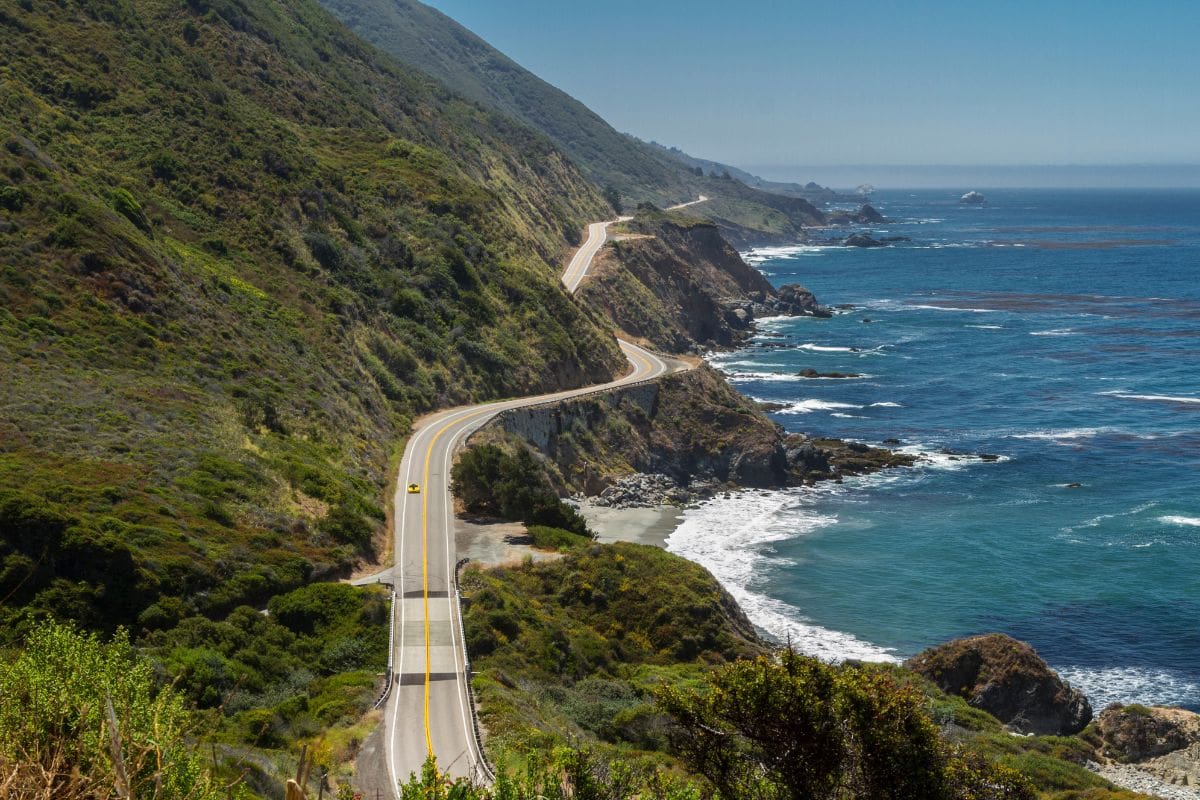
Some road trips are remembered for the places we visit, while others stay with us just as much for the road connecting them. California's Pacific Coast Highway, often called Highway 1, belongs firmly in the second category.
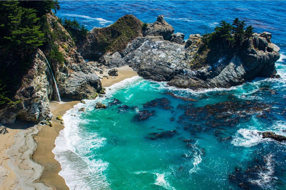
This unforgettable route follows one of America's most dramatic coastlines, passing sandy beaches, rugged cliffs, wildlife-rich bays, seaside communities and long stretches where the Pacific seems to fill the entire horizon. Unlike the Canadian Rockies, where mountains surrounded us, here the ocean becomes our companion—and before following it south, we're beginning somewhere that deserves time of its own.
San Francisco — Where the Journey Begins
San Francisco is much more than a convenient place to collect a rental car. For families, it's one of America's great city destinations, where simply getting around can become part of the experience.
Cable cars climb streets that seem impossibly steep, historic neighbourhoods tumble down hills toward the bay, ferries cross the water, sea lions bark from the waterfront and the Golden Gate Bridge appears and disappears through the city's famously changeable weather. There is enough here to fill several days, so rather than rushing straight onto Highway 1, give the family time to experience the city before beginning the coastal drive.
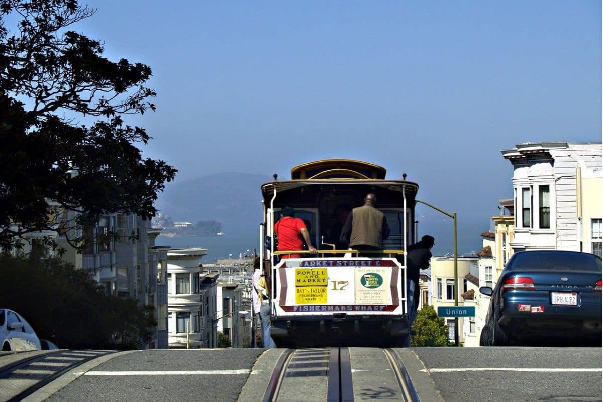
Ride a Cable Car
Few forms of public transportation have this much personality.
San Francisco's cable cars have been climbing the city's hills since the 19th century, and riding one remains one of those simple experiences children often remember long after more elaborate attractions have faded from memory. The cars aren't merely tourist props either; they're part of the city's transportation history and a wonderfully tangible way to introduce children to how people once moved around these steep streets.
Try to ride earlier in the day when possible, particularly during busy periods, and don't feel that you need to travel the entire route. For younger children, the excitement is often simply hearing the bell, watching the grip operator work and feeling the car climb a hill that looks far too steep for anything on rails.
Fisherman's Wharf & Pier 39
The waterfront is undeniably touristy, but that doesn't mean families should dismiss it. Pier 39's California sea lions have been gathering beside the docks since shortly after the 1989 Loma Prieta earthquake, and their noisy arguments, awkward movements and complete disregard for personal space can entertain children for a surprisingly long time.
The surrounding waterfront also gives families easy access to boats, bay views, casual food and several attractions, making it a useful place to spend part of a day without complicated planning.
Look Across the Bay
From the waterfront, Alcatraz Island sits remarkably close offshore.
Older children may know it as the former federal prison that once held inmates such as Al Capone, but the island's history reaches well beyond its prison years. If your family wants to visit, reserve well ahead during busy seasons; even without going ashore, however, seeing Alcatraz from the waterfront gives the bay another layer of history.
Family Travel Insight
San Francisco's hills are part of its charm but can surprise families travelling with strollers or young children. Plan neighbourhoods in manageable sections and use public transportation rather than trying to walk everywhere.
Layers are useful too. Even when inland California is hot, San Francisco can be cool, windy and foggy—especially near the water.
The Golden Gate Bridge
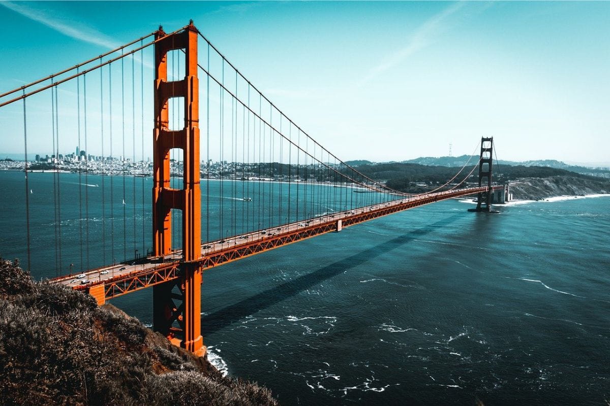
Few landmarks announce a California journey quite like the Golden Gate Bridge.
Its orange-red towers rise above the entrance to San Francisco Bay, connecting the city with Marin County across a stretch of water famous for strong currents, wind and fog. Even after seeing it countless times in photographs, the scale of the bridge can be surprising when you're finally standing beside it.
Families don't necessarily need to walk the entire span. Walking partway gives children a sense of its size, while viewpoints around the bay provide some of San Francisco's classic panoramas. And don't be disappointed if the fog arrives; watching sections of the bridge appear and disappear through swirling mist is part of the San Francisco experience too.
Once we've had our fill of city streets, cable cars and waterfront views, it's time to turn south.
Leaving San Francisco Behind
City neighbourhoods gradually give way to a more open landscape, and before long the Pacific begins taking over the view. Beaches and cliffs replace the urban skyline, and the broad blue horizon starts defining the journey ahead.
This transition is one of the pleasures of Highway 1. We haven't travelled particularly far, yet the character of the trip has already changed completely. If the weather cooperates, open a window and let the salt air in.
Our Pacific Coast Highway road trip has begun.
Half Moon Bay — The First Coastal Stop
Less than an hour south of San Francisco, Half Moon Bay provides an easy introduction to California's coastal landscape.
Wide beaches, coastal trails and a relaxed small-town atmosphere make this a good place to resist the temptation to race south. Walk part of the Coastal Trail, spend some time beside the ocean or stop for lunch before continuing toward Monterey.
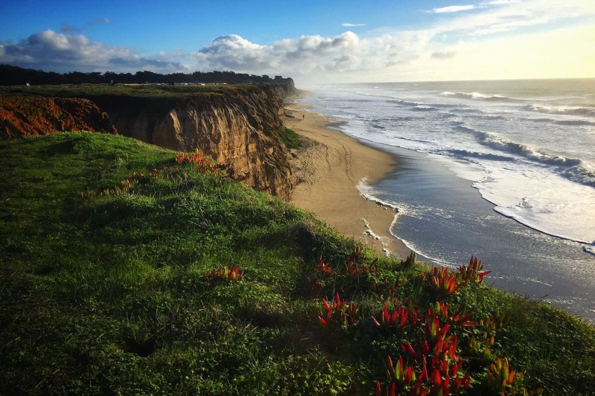
Half Moon Bay also teaches us an important Highway 1 lesson very early in the journey: distance isn't the best way to measure a road-trip day. A relatively short drive with several enjoyable stops can create much better family memories than covering hundreds of miles simply because the map says we can.
Mavericks — When the Pacific Shows Its Power
Nearby Mavericks is famous throughout the surfing world for enormous waves that can develop under the right winter conditions. Elite big-wave surfers have come here to tackle swells that demonstrate just how powerful the Pacific can become.
Families certainly don't need dramatic surf to appreciate the coastline. Standing safely near the ocean and imagining waves towering above the water gives children an early reminder that the Pacific accompanying us down Highway 1 may be beautiful, but it should never be underestimated.
Keep well back from dangerous surf and cliff edges, and never assume that a seemingly calm stretch of shoreline will remain that way. Along this coast, enjoying the ocean safely is far more important than getting closer for a photograph.
One of Those Moments...
Our first memorable coastal stop may not have a famous name at all. It might simply be a safe pullout where everyone gets out of the car for a few minutes and discovers that the view is too good to leave immediately.
Wind comes in from the Pacific, waves break below and seabirds circle beyond the cliffs. After the energy of San Francisco, nobody needs an attraction or a ticket; we can simply stand together looking west.
That first quiet encounter with the Pacific often feels like the moment the coastal road trip truly begins.
And farther down the highway, the ocean is about to become much more than scenery.
Monterey Bay is next.
Monterey Bay — Where the Ocean Comes Alive
As Highway 1 continues south, the coastline opens into Monterey Bay, and the character of our journey changes again.
Here, the Pacific isn't simply something beautiful to admire through the car window. Monterey Bay supports an extraordinarily rich marine environment where families may encounter sea otters, seals, sea lions, dolphins, seabirds and migrating whales.
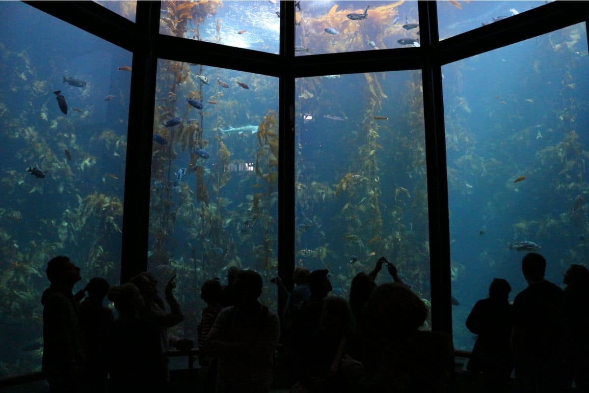
This is somewhere worth slowing down for. If the itinerary allows, I'd seriously consider spending at least one night in Monterey, particularly with children. That gives us enough time to enjoy the aquarium and waterfront without trying to squeeze everything between two long stretches of driving.
A Remarkable World Beneath the Water
Part of Monterey Bay's extraordinary marine life can be explained by something we can't see from shore.
Beneath the surface lies the enormous Monterey Submarine Canyon, one of the deepest submarine canyons along the continental United States. Ocean processes bring cold, nutrient-rich water toward the surface, helping support the productive food web for which the bay is famous.
That means the sea otter floating offshore, the pelican diving into the water and the whale passing through the bay are connected to a much larger ecosystem.
For families, that's one of Monterey's great strengths. Children don't simply get to see wildlife; they can begin to understand why so much wildlife is here.
Nature Note
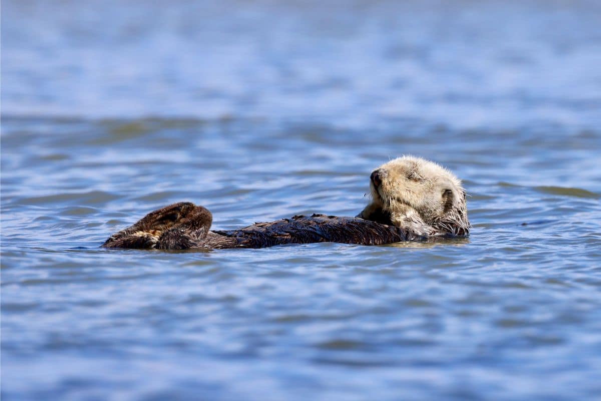
Keep watching the water whenever you're around Monterey Bay. Sea otters may float on their backs among the kelp, seals and sea lions appear around the waterfront, and whales travel through the region at different times of year.
Some of the best wildlife encounters aren't scheduled at all. They begin when somebody notices movement offshore while everyone else is eating lunch.
Cannery Row — From Sardines to Sea Otters
Today, Cannery Row is one of Monterey's liveliest waterfront areas, filled with restaurants, shops and visitors enjoying views across the bay. Its name, however, comes from a very different era.
During the first half of the twentieth century, Monterey became a major centre of the sardine-canning industry. Fishing boats brought enormous catches into the harbour, while canneries along the waterfront processed fish for markets far beyond California.
Eventually the sardine fishery collapsed and the industry that had shaped the neighbourhood largely disappeared. The waterfront reinvented itself as old industrial buildings found new purposes, tourism grew and the marine environment that had supported the fishing industry became one of the area's greatest attractions.
Writer John Steinbeck helped make the neighbourhood famous through his novel Cannery Row, preserving another side of Monterey's history in American literature.
It's an interesting transformation for children and adults alike: the waterfront we're enjoying today was once a working industrial landscape whose fortunes were closely tied to what was happening beneath the surface of the Pacific.
Chapter Four
The Florida Keys Overseas Highway
Island Towns, Coral Reefs & the Road to Key West
South Florida → Key Largo → Islamorada → Marathon → Seven Mile Bridge → Bahia Honda → Lower Keys → Key West
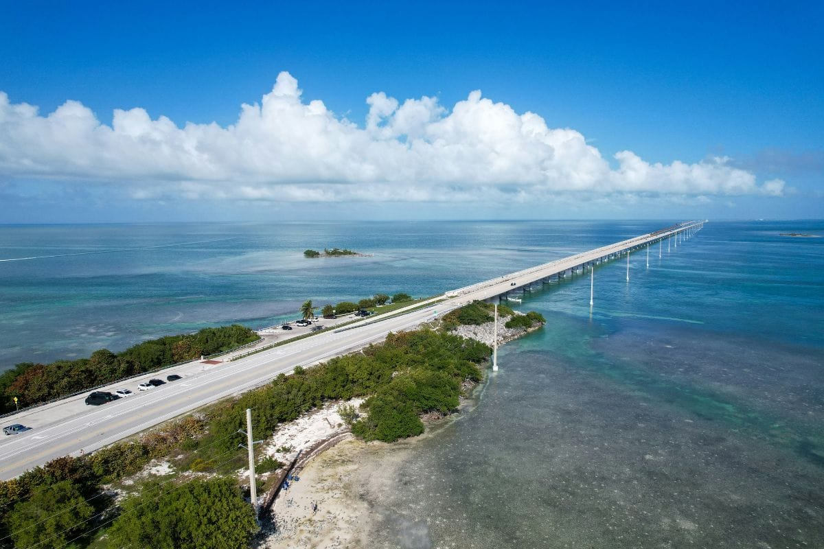
There are road trips where the scenery surrounds us, and then there is the Florida Keys Overseas Highway, where at times it feels as though the road itself has escaped onto the ocean.
Travelling south from the Florida mainland, U.S. Highway 1 carries families across a remarkable chain of tropical islands toward Key West. The route from Key Largo crosses 42 bridges, with stretches of brilliant water appearing on both sides and small communities providing plenty of reasons to get out of the car.
But the Florida Keys aren't interesting simply because the road crosses the sea.
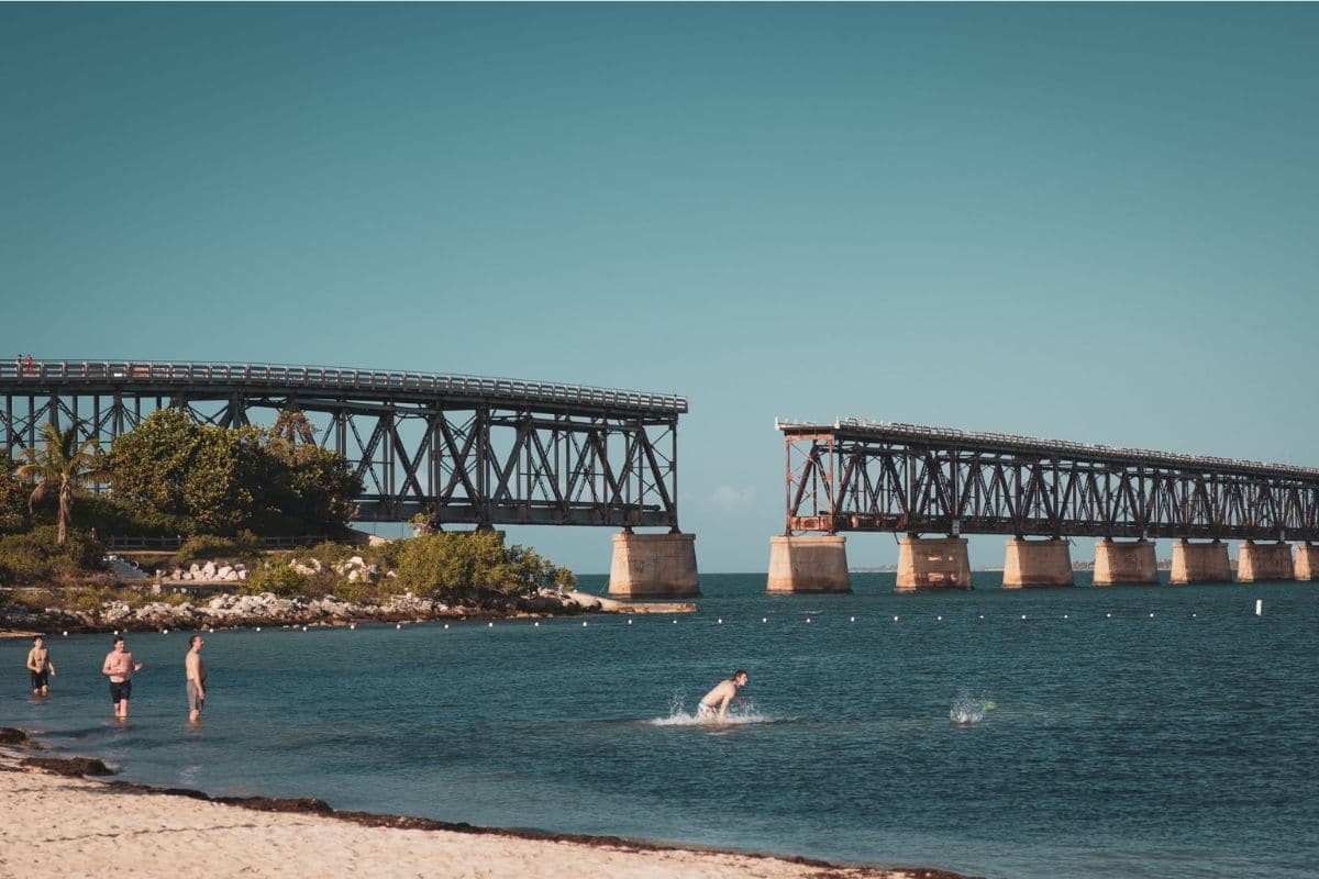
The real pleasure comes from discovering how different the islands can be. Key Largo introduces us to coral reefs and mangrove country. Islamorada brings fishing culture, marinas and island history. Marathon gives families wildlife experiences and a proper Middle Keys stopping point, while the Seven Mile Bridge delivers the great open-water drive we've been waiting for.
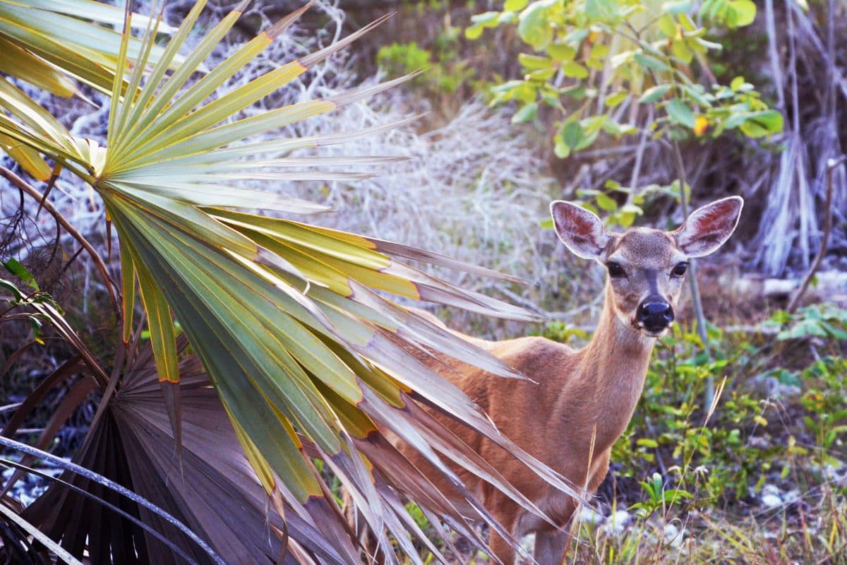
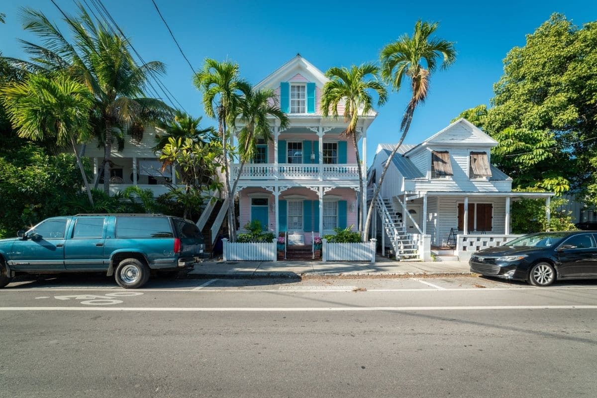
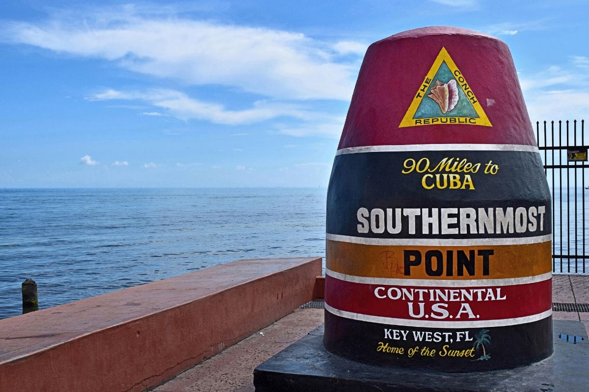
Beyond it lie Bahia Honda's beaches, the tiny Key deer of the Lower Keys and finally Key West, where Caribbean influences, maritime history, colourful streets and sunset traditions provide a fitting end to the journey.
This is a road trip where stopping is every bit as important as driving.
Leaving the Mainland Behind
For families beginning around Miami or elsewhere in South Florida, the transformation doesn't happen all at once.
Urban South Florida gradually gives way to flatter, quieter country as U.S. 1 heads toward the Keys. Then water begins appearing more frequently, the vegetation becomes increasingly tropical and eventually we realise that the mainland we've been travelling across is disappearing behind us.
By the time we reach Key Largo, the pace of the journey already feels different.
There's no need to race toward Key West. From Key Largo to the end of the highway is roughly 100-plus miles, but treating it simply as a drive from A to B misses much of what makes the Keys special. The official Florida Keys tourism site itself describes the different regions as having their own distinct character.
We'll discover them one at a time.
The Extraordinary Road Beneath Our Wheels
Before travelling farther, it's worth knowing how this road came to exist.
The story begins not with automobiles, but with a railway.
Industrialist Henry Flagler pursued the extraordinarily ambitious idea of extending his Florida East Coast Railway through the Keys to Key West. Construction required bridges, embankments and tracks across an island chain surrounded by open water.
After years of work, the railroad reached Key West in 1912.
It was an extraordinary engineering achievement.
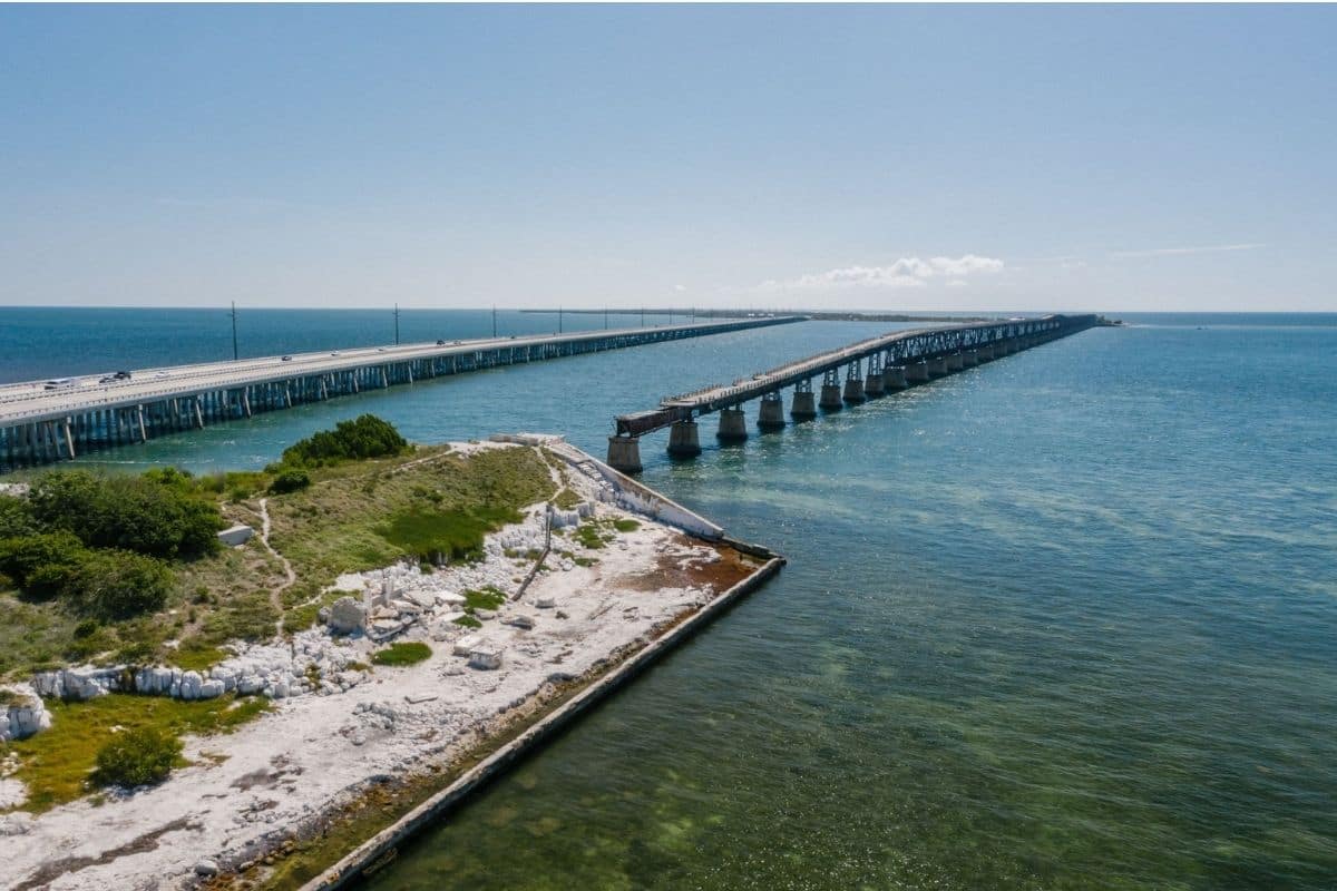
Then came the devastating Labor Day hurricane of 1935, which badly damaged portions of the railway. The rail connection was not rebuilt, and parts of its route and infrastructure were subsequently incorporated into the Overseas Highway that opened in 1938.
We can still see pieces of that earlier journey as we travel south. Historic railroad bridges remain alongside sections of the modern highway, and suddenly those ageing structures aren't simply abandoned bridges.
They're part of the reason we're able to make this journey at all.
Family Travel Insight
Introduce children to the Flagler railroad story near the beginning of the trip.
Then turn it into a simple road-trip challenge: Who can spot the old railway bridges?
It gives everyone something to look for between stops and connects the scenery outside the windows with the history of the road beneath us.
Key Largo — Where the Keys Begin
Our first major destination is Key Largo, the longest island in the Florida Keys and the place where the character of the journey really begins to emerge.
Water dominates life here.
Marinas line sheltered waterways, fishing and dive boats head offshore, mangroves grow along the coast and beneath the surface lies an environment that's even more remarkable than the scenery above it.
This is where families get their first proper introduction to the Florida Keys reef ecosystem.
And there's one particularly good place to start.
John Pennekamp Coral Reef State Park — Discovering the World Below

John Pennekamp Coral Reef State Park became America's first undersea park and protects approximately 70 nautical square miles around Key Largo. While there are tropical hardwood hammocks, mangroves and beaches on land, the park's great attraction lies offshore.
For families, one of its biggest strengths is that we don't all have to experience the reef in the same way.
Confident swimmers can join snorkelling excursions, while divers can venture deeper. Families who would rather stay dry can take a glass-bottom boat tour, allowing children and grandparents to look into the underwater world without putting on a mask and fins. Kayaking and canoeing offer another way to explore the park's quieter mangrove environments.
That flexibility makes Pennekamp much more than a stop for serious divers.
It's a place where almost any family can begin understanding what makes the Keys special.
More Than Coral
Don't assume that a family uninterested in snorkelling should skip the park.
The visitor center contains large saltwater aquariums and exhibits, while short nature trails explore tropical habitats. Families can picnic, swim from designated beaches or paddle through mangrove waterways.
At Cannon Beach, underwater remnants associated with a Spanish shipwreck have been placed offshore, adding a little maritime history to the experience. Far Beach offers another option for families who simply want some time beside the water.
The important thing is that Key Largo gives us something fundamentally different from simply looking at turquoise water through a car window.
It lets us begin exploring what's underneath it.
Did You Know?
The Florida Keys marine environment isn't only about coral.
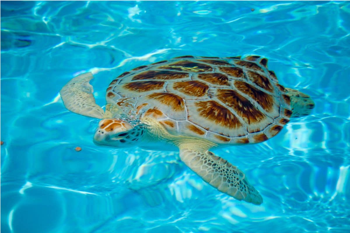
Mangrove forests and seagrass beds provide important habitat for young fish and other marine life while also helping stabilise shorelines and support the wider ecosystem. Around Pennekamp, patient observers may encounter everything from tiny reef fish to larger visitors such as sea turtles, dolphins or manatees.
For children, that's a useful way to understand the Keys: the coral reef, seagrass, mangroves and islands aren't separate attractions; they're parts of one connected environment.
Family Travel Insight
If a reef excursion is high on your family's wish list, don't leave the planning until you arrive. Boat activities can be affected by weather and availability, so check current schedules and conditions beforehand.
Also build some flexibility into the day. If the weather isn't ideal for a boat trip, Key Largo still gives us beaches, paddling, nature trails and the visitor center rather than forcing us to abandon the stop completely.
One of Those Moments...
Perhaps our first real Florida Keys moment happens on a boat leaving Key Largo.
The shoreline gradually recedes as the water beneath us becomes clearer. Children begin watching for movement below the surface, and someone spots the first flash of a brightly coloured fish.
Until now, we've been driving through the Keys.
Suddenly we're beginning to understand them.
The most extraordinary part of this landscape may not be the islands we're travelling across at all.
It may be the living world surrounding them.
And as we return to the Overseas Highway and continue south, our next stop introduces us to another side of Keys life altogether.
We're heading for Islamorada.
Chapter Five
The Blue Ridge Parkway
Mountain Communities, Appalachian Culture & 469 Miles Made for Exploring
Shenandoah → Humpback Rocks → Peaks of Otter → Mabry Mill → Blue Ridge Music Center → Blowing Rock → Linn Cove Viaduct → Linville Falls → Asheville → Waterrock Knob → Cherokee
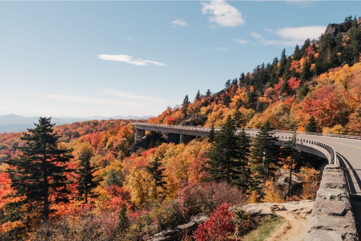
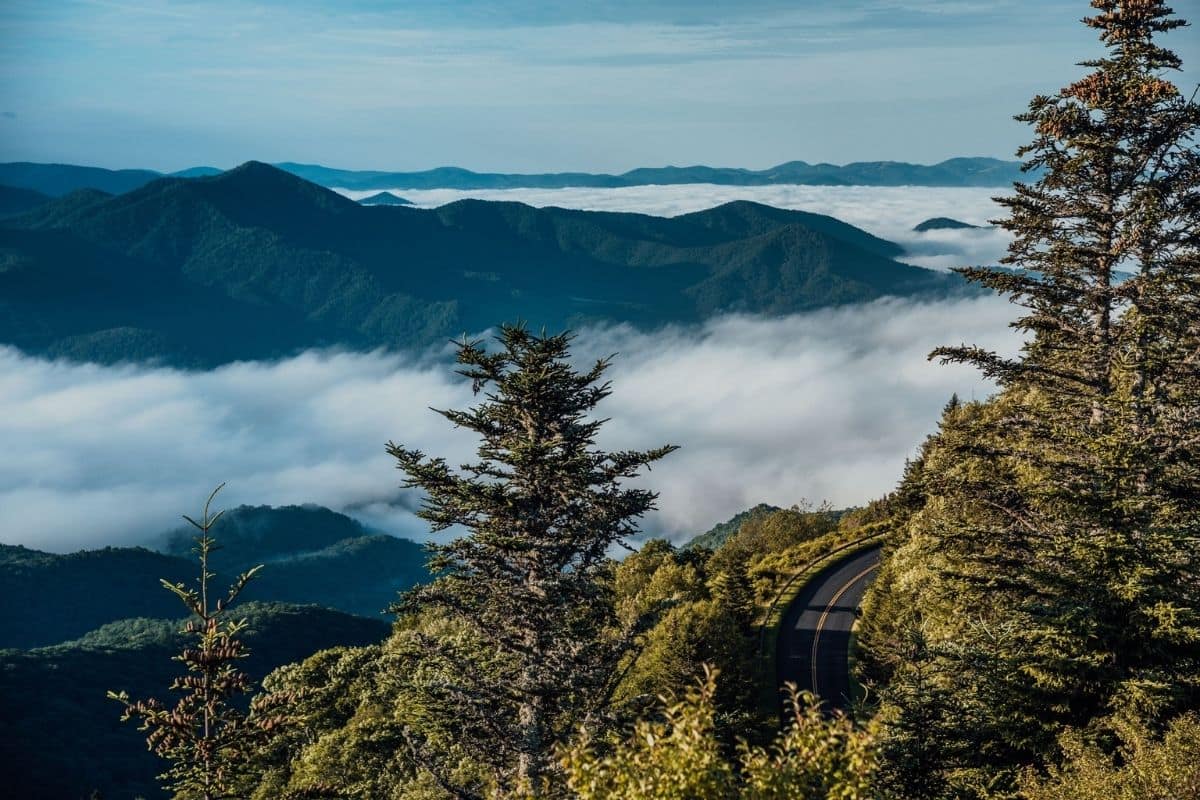
There are no geysers erupting beside the road, enormous Rocky Mountain peaks or bridges carrying us across tropical seas. Instead, this journey unfolds more gradually through forested ridges, historic farms, waterfalls, mountain communities and a cultural landscape shaped by generations of people who have called the Appalachians home.
Stretching 469 miles through Virginia and North Carolina, the Parkway connects the region around Shenandoah National Park with Great Smoky Mountains National Park. But thinking of it simply as a road between two national parks misses the point, because this road was created for the journey itself.
The speed limit is generally no more than 45 mph, commercial traffic is largely absent, and overlooks, trails and historic sites repeatedly tempt us to stop. A route that looks manageable on a map can therefore become a surprisingly long adventure once we begin exploring—and that's exactly how it should be.
A Road Designed to Slow Us Down
The Blue Ridge Parkway grew from the New Deal era of the 1930s, when the United States was struggling through the Great Depression. The project created employment while pursuing an ambitious idea: build a recreational road through the Southern Appalachian Mountains that would allow ordinary families to experience the landscape.
Construction began in 1935, but completing the Parkway would take more than half a century. Rather than simply blasting the shortest possible route through the mountains, planners tried to make the drive itself part of the experience. Curves follow the landscape, stone walls and bridges complement their surroundings, and long stretches deliberately avoid the commercial development we expect along conventional highways.
The result feels less like a road we're using to reach somewhere else and more like a ribbon guiding us through the mountains. Much later at Linn Cove Viaduct, we'll see the ultimate expression of that philosophy in the final major piece of the Parkway to be completed.
But first, we begin in Virginia.
Where the Blue Ridge Parkway Begins
At its northern end near Waynesboro, Virginia, the Blue Ridge Parkway meets the southern end of Skyline Drive, which travels through Shenandoah National Park. Families combining the two can therefore create an even longer mountain journey, moving directly from Shenandoah onto the Parkway.
There's an important difference between them, however. Skyline Drive travels through a national park, while the Blue Ridge Parkway is itself a national park unit built around the road and the landscapes, communities and cultural stories surrounding it.
Within the first few miles, we encounter an excellent introduction to that story.
Humpback Rocks — More Than a Mountain View
Near Milepost 6, Humpback Rocks gives families a choice.
Energetic hikers can tackle the steep trail toward the rocky outcrop and expansive mountain views, but families don't need to make the climb for this to be a worthwhile stop. The visitor area also explores the lives of people who farmed these mountains and valleys, with historic structures helping illustrate how Appalachian families lived, worked and adapted to an environment where level farmland could be scarce and communities were often separated by difficult terrain.
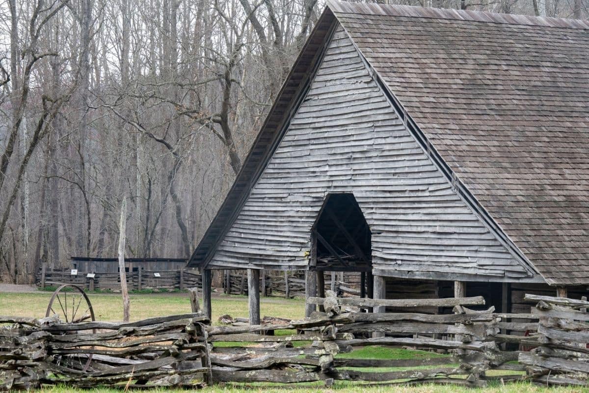
That makes Humpback Rocks an excellent first stop because it introduces something we'll encounter throughout this journey: the Blue Ridge Parkway isn't only about mountains. It's about people.
Family Travel Insight
Don't feel that every worthwhile stop requires the longest hike. If younger children aren't ready for the steeper Humpback Rocks trail, explore the historic area, talk with a ranger when available and save everyone's energy for another walk later in the day.
With 469 miles ahead of us, choosing our adventures matters far more than collecting them.
Why Do the Mountains Look Blue?
Before long, we'll begin noticing the characteristic haze that gives the Blue Ridge Mountains their name.
Trees and other vegetation release naturally occurring organic compounds into the atmosphere. Combined with moisture and the way light scatters across the landscape, they contribute to the soft bluish appearance of distant ridges, particularly when layer after layer of mountains disappears toward the horizon.
Children may simply decide the mountains really are blue, and from an overlook it's difficult to argue with them.
These mountains are also extraordinarily old. The Appalachian landscape has been shaped by geological processes and erosion over hundreds of millions of years, which helps explain why the Blue Ridge looks so different from the sharper, younger peaks we encountered in the Canadian Rockies and Grand Teton. Here, time has softened the mountains.
Peaks of Otter — A Place Worth Getting Out of the Car
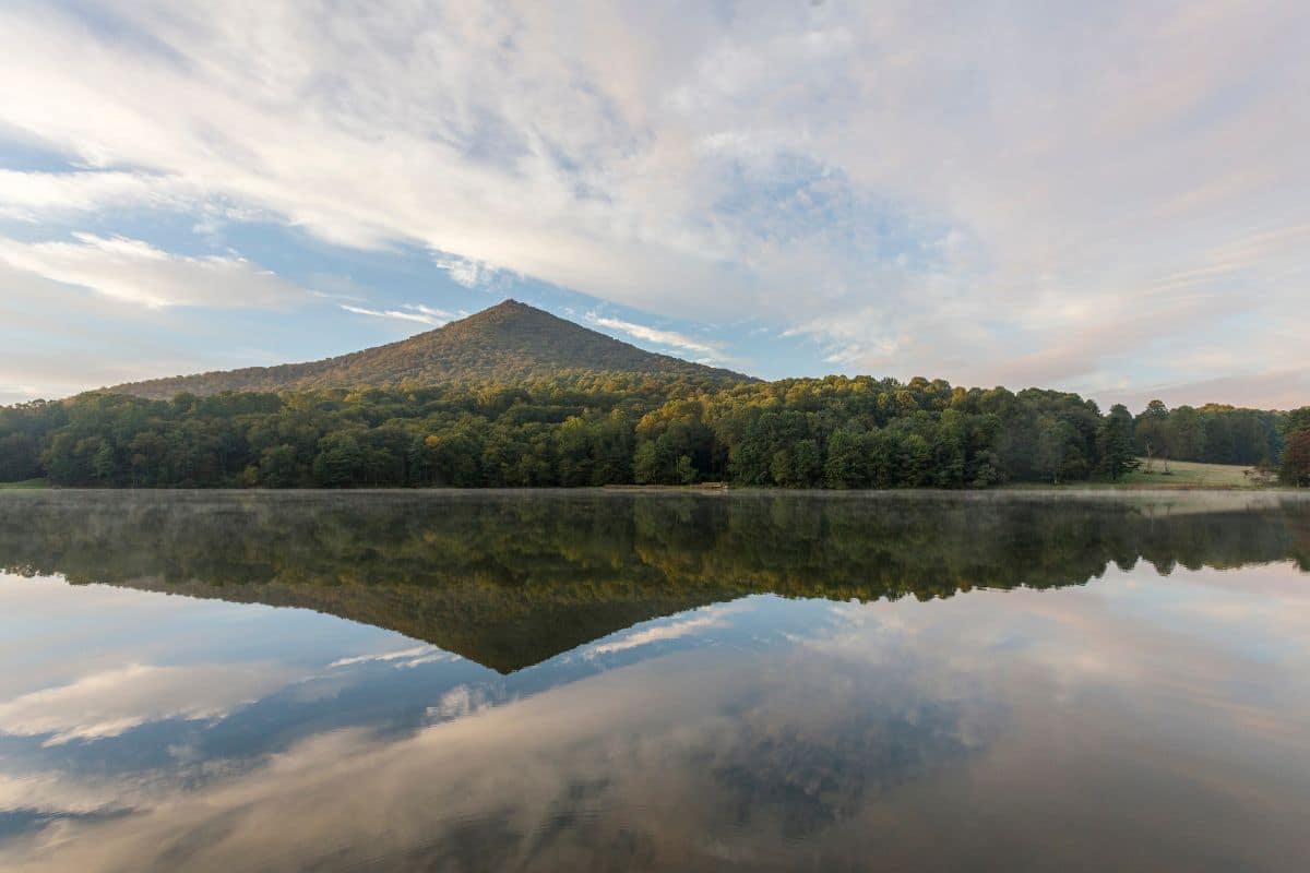
Farther south, around Milepost 86, we reach Peaks of Otter, one of the most useful family stopping areas in the Virginia section of the Parkway.
Three prominent peaks rise above the surrounding landscape, while Abbott Lake provides an easy place to slow down without committing to a strenuous hike. Families can walk beside the lake, visit the seasonal visitor center, explore trails or simply have a picnic surrounded by mountain scenery.
The National Park Service also preserves historic landscapes here, including Johnson Farm, helping tell the story of families who lived and worked in this part of the Blue Ridge.
For strong hikers, the famous Sharp Top Trail climbs 1.5 miles to the summit and rewards the effort with wide views, but the NPS classifies the route as steep and strenuous. It's not a casual family stroll, and there's no reason everyone needs to do it.
That's one of the advantages of Peaks of Otter: we can make the stop as energetic—or as relaxed—as our family needs.
One of Those Moments...
Walk beside Abbott Lake when the water is calm. The surrounding mountains reflect across the surface, ducks move quietly near the shoreline and the Parkway seems much farther away than it really is.
Perhaps the children are walking ahead while we're carrying the snacks nobody wanted ten minutes earlier. Nothing particularly dramatic is happening, and that's precisely why it works.
The Blue Ridge Parkway doesn't need to astonish us every few miles. Sometimes it simply gives families a beautiful place to spend an hour together before continuing down the road.
Appalachian Life Along the Parkway
As we travel farther into Virginia, the human story becomes increasingly important.
The Southern Appalachians have never been an empty wilderness. Indigenous peoples have deep connections with these mountains, and later communities—including European American and Black Appalachian families—developed distinctive traditions shaped by geography, agriculture, religion, craft and music.
Some communities were relatively isolated, but it's too simplistic to imagine Appalachian life as completely cut off from the outside world. People traded, travelled, worked and adapted, and what survived was not a frozen way of life but a collection of traditions that continued evolving from one generation to another.
We'll encounter those traditions throughout the journey—in music, food, craftsmanship, historic buildings and stories preserved along the Parkway. One of the best places to see that history brought together lies ahead.
Mabry Mill — The Story Behind the Photograph
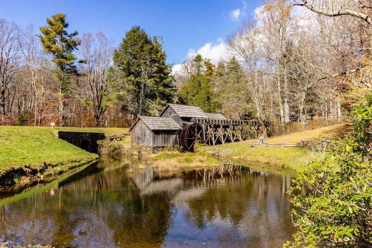
At approximately Milepost 176, Mabry Mill is one of the Blue Ridge Parkway's most recognisable landmarks.
The weathered wooden mill beside its pond is certainly photogenic, particularly when autumn colours reflect in the water, but stopping only for the photograph would miss the interesting part.
Ed and Lizzy Mabry built their life here in the early twentieth century. Ed Mabry operated a gristmill, sawmill and blacksmith shop, and today the site helps visitors understand the skills and work that supported Appalachian communities. The National Park Service continues to use the area for interpretation, with demonstrations and programs that can include blacksmithing, music and walking tours.
Walk around the historic structures rather than simply photographing the waterwheel. Children can see how grain became flour, discover why a blacksmith was so important to a rural community and begin imagining everyday life before electricity, supermarkets and modern machinery transformed these mountains.
Suddenly, the pretty old mill has a story.
Family Travel Insight
Mabry Mill is an excellent example of why we shouldn't judge Parkway stops solely by how long they take. We may spend less than an hour here and still come away understanding more about Appalachian life than we would from another dozen scenic overlooks.
Programs and visitor services can be seasonal, so check current National Park Service information when planning the trip. Many Parkway visitor facilities operate primarily from spring through fall.
The Road Is About to Find Its Sound
Leaving Mabry Mill, the mountains continue south and the scenery remains beautiful, but our next major stop adds something we haven't really experienced yet: music.
Fiddles, banjos, ballads and dance traditions have travelled through Appalachian communities for generations, influencing styles of American music far beyond these mountains. Rather than mentioning that heritage in passing, we're going to stop somewhere created specifically to help us hear it.
Ahead lies the Blue Ridge Music Center.
Blue Ridge Music Center — Where the Mountains Find Their Sound
Continuing south toward the Virginia–North Carolina state line, the Parkway brings us to a stop that adds something completely different to the journey.
We've seen historic farms and mills and learned how families adapted to mountain life. Now, near Milepost 213, the Blue Ridge Music Center introduces another part of that heritage through the musical traditions of the Blue Ridge and the wider Appalachian region.
Fiddles, banjos, guitars, ballads and dance music have travelled through these mountains for generations, shaped by a complex mixture of cultural influences. This isn't simply music created to entertain tourists; these traditions were part of community life, played at gatherings, dances, homes and celebrations and passed between musicians largely by listening and playing together.
The Music Center helps families understand how those mountain traditions contributed to old-time, bluegrass and other forms of American roots music.
Music With a Much Bigger Story
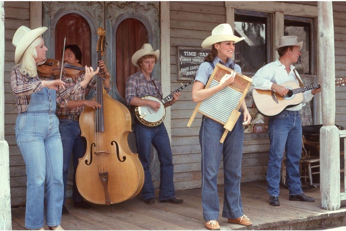
The story is considerably more interesting than simply saying that Appalachian settlers played fiddles.
Musical traditions in the region developed through interaction among people from different backgrounds. European fiddle and ballad traditions mixed with important African and African American musical influences, including the development and use of the banjo, while generations of musicians continued adapting what they heard.
The result wasn't one musical tradition preserved unchanged through time. It was a living culture that continued evolving, which is a theme we're encountering again and again along the Parkway.
For children, this is a wonderful opportunity to connect something they can hear with the places they're travelling through. History suddenly becomes less about dates and buildings and more about sounds that still survive today.
Family Travel Insight
If live music or demonstrations are scheduled during your visit, make time for them. Children who might lose interest in another historic exhibit can respond completely differently when somebody picks up a fiddle or banjo and starts playing.
Programming varies seasonally, so check the current schedule when planning your journey.
Crossing Into North Carolina
Not far beyond the Music Center, we leave Virginia and continue into North Carolina.
The change isn't marked by some enormous transformation in the scenery. The Blue Ridge continues rolling toward the horizon, forests still surround the road and overlooks continue appearing along the route, but gradually the Parkway begins climbing toward some of its most dramatic high-country landscapes.
This is also where the number of possible stops increases considerably. We could easily turn every viewpoint, trail and waterfall into another item on a checklist, but that would miss the point of the journey.
Instead, we'll choose places that give us something different. One of the first major areas worth slowing down for combines a welcoming mountain town with another fascinating piece of Blue Ridge history.
Blowing Rock — A Mountain Town Worth Leaving the Parkway For
The town of Blowing Rock lies just off the Parkway and makes an appealing overnight stop, particularly for families who want restaurants, shops and comfortable accommodation without travelling far from the route.
Its compact downtown is easy to explore on foot, with local shops, cafés and restaurants providing a pleasant change after hours of forests and mountain roads.
This is exactly the role mountain towns should play in our road trip. We don't need to pretend every town is another major attraction; sometimes what a family needs is somewhere pleasant to have dinner, walk around for an hour and sleep before beginning another day.
Blowing Rock does that particularly well. Families wanting additional activities can find plenty throughout the surrounding High Country, but one of the Parkway's most worthwhile stops is only a short distance away.
Moses H. Cone Memorial Park — A Mountain Estate With Room to Explore
Near Milepost 294, Moses H. Cone Memorial Park gives us a completely different picture of life in the Blue Ridge.
At its centre stands Flat Top Manor, the impressive former summer home of textile entrepreneur Moses H. Cone and his wife, Bertha. But the estate extends far beyond the house.
Cone developed thousands of acres here, including orchards, lakes and a network of carriage roads winding across the property. Today, those historic roads provide miles of walking and recreation through forests and open landscapes.
That makes the park particularly useful for families because we can decide how much we want to do. Visit the manor area and enjoy the setting, take a short walk beside a lake or head farther along one of the carriage roads if everyone still has energy.
It doesn't have to become an all-day excursion.
Crafts That Are Still Alive
Flat Top Manor also has an important connection with the Southern Highland Craft Guild, bringing us back to another theme running through this chapter.
Appalachian craft isn't simply something that belongs behind glass in a museum. Woodworking, weaving, pottery and other skills have continued through generations, with contemporary craftspeople building upon traditions associated with the region.
That's an important distinction. We aren't visiting a landscape where Appalachian culture disappeared and was then preserved for tourists; much of it continued evolving.
Later, near Asheville, we'll encounter this story again at the Folk Art Center. For now, the Cone estate gives families room to walk, explore and experience another side of the Blue Ridge beyond overlooks and waterfalls.
Grandfather Mountain — Where the Landscape Gets Dramatic
Continuing south, the profile of Grandfather Mountain begins dominating the landscape.
Rising to 5,946 feet, Grandfather Mountain is one of the best-known peaks in the North Carolina High Country. Part of the mountain is protected as Grandfather Mountain State Park, while the well-known Mile High Swinging Bridge and associated nature attractions are operated separately by the Grandfather Mountain Stewardship Foundation.
That distinction matters when families are planning because visiting the attraction isn't the same as simply pulling into another free Parkway overlook.
The famous Mile High Swinging Bridge stretches across an 80-foot chasm at an elevation of more than a mile above sea level. Families who enjoy heights can walk across for expansive mountain views, while wildlife habitats and nature exhibits provide additional reasons to visit.
But this is an optional detour rather than something every family must do. If heights, admission fees or a longer stop don't appeal, the Parkway itself is about to give us one of its greatest engineering experiences.
Linn Cove Viaduct — Building Around the Mountain
For decades, one particularly difficult section prevented the Blue Ridge Parkway from being completely connected, and the problem was Grandfather Mountain.
Engineers needed to carry the road across steep, environmentally sensitive terrain without causing the extensive damage that conventional road construction could create. Their eventual solution was the Linn Cove Viaduct, an elegant concrete structure that curves around the mountainside rather than forcing a large roadway through it.
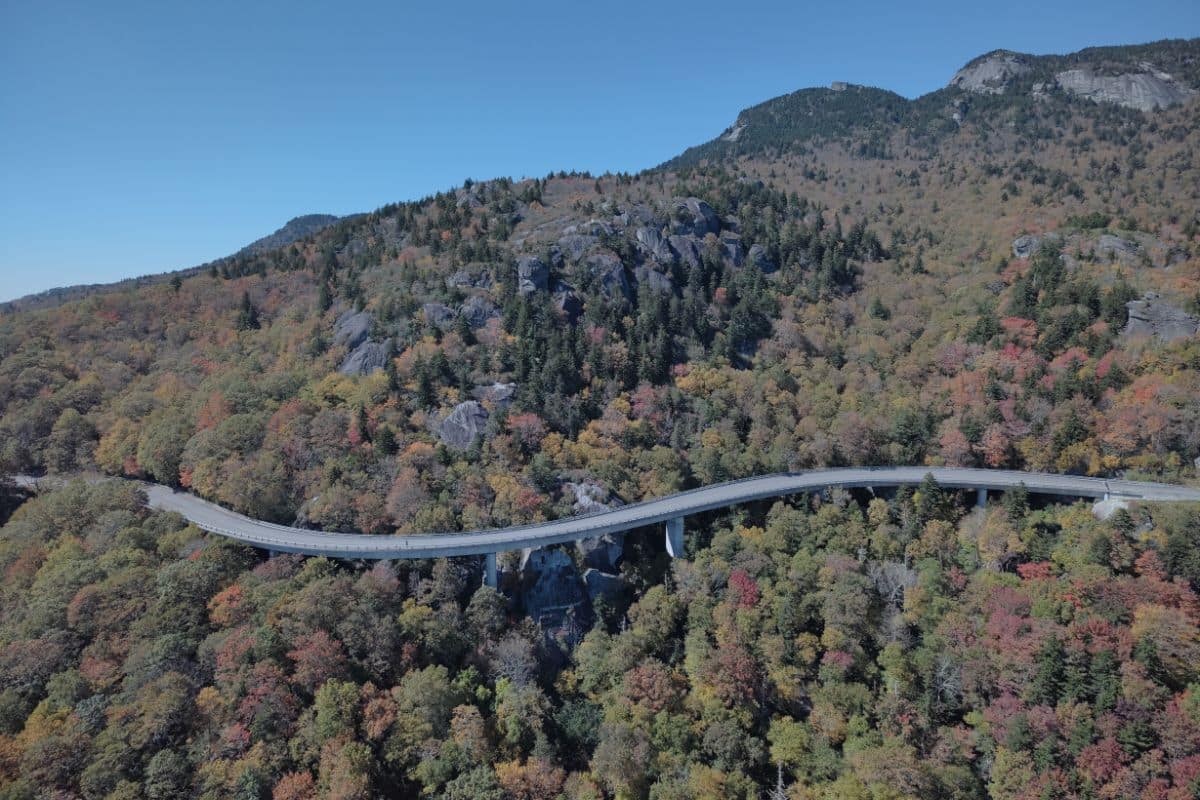
Completed in 1987, the viaduct allowed the final missing section of the Parkway to open and became one of the road's most recognisable landmarks.
Driving across it is impressive, but understanding why it was built this way makes it considerably more interesting.
Did You Know?
Much of the Linn Cove Viaduct was assembled using precast concrete segments, with construction carefully managed to minimise disturbance to the fragile slopes below.
Instead of treating the mountain as an obstacle that needed to be conquered, engineers tried to make the road fit the landscape. That philosophy captures much of what makes the Blue Ridge Parkway unusual.
Get Out of the Car to Appreciate It
There's an irony to Linn Cove Viaduct: when we're actually driving across it, we can't really see what makes it so extraordinary.
For a better appreciation, stop in the area and take one of the nearby trails or viewpoints where the structure can be seen curving around Grandfather Mountain. The Linn Cove Visitor Center and surrounding trail system can provide access when facilities and trails are open.
It's worth stretching our legs here. After all, we've spent hundreds of miles admiring how the Parkway fits into the mountains, and this is where we can actually see the engineering that made that possible.
One of Those Moments...
We stop somewhere near Grandfather Mountain and look back toward the viaduct. Instead of a broad scar cut across the slope, the road curves around the mountain and almost disappears into the forest as cars move quietly across it before vanishing around the bend.
We've driven over bridges throughout this guide—the enormous crossings of the Florida Keys and the graceful Bixby Creek Bridge on California's coast among them—but this bridge tells a different story.
Its achievement isn't simply that engineers managed to build it. It's that they recognised where they were building it.
Just beyond Grandfather Mountain, the Parkway gives us another reason to leave the car. This time we'll follow the sound of rushing water toward Linville Falls.
Linville Falls — Where the River Meets the Gorge
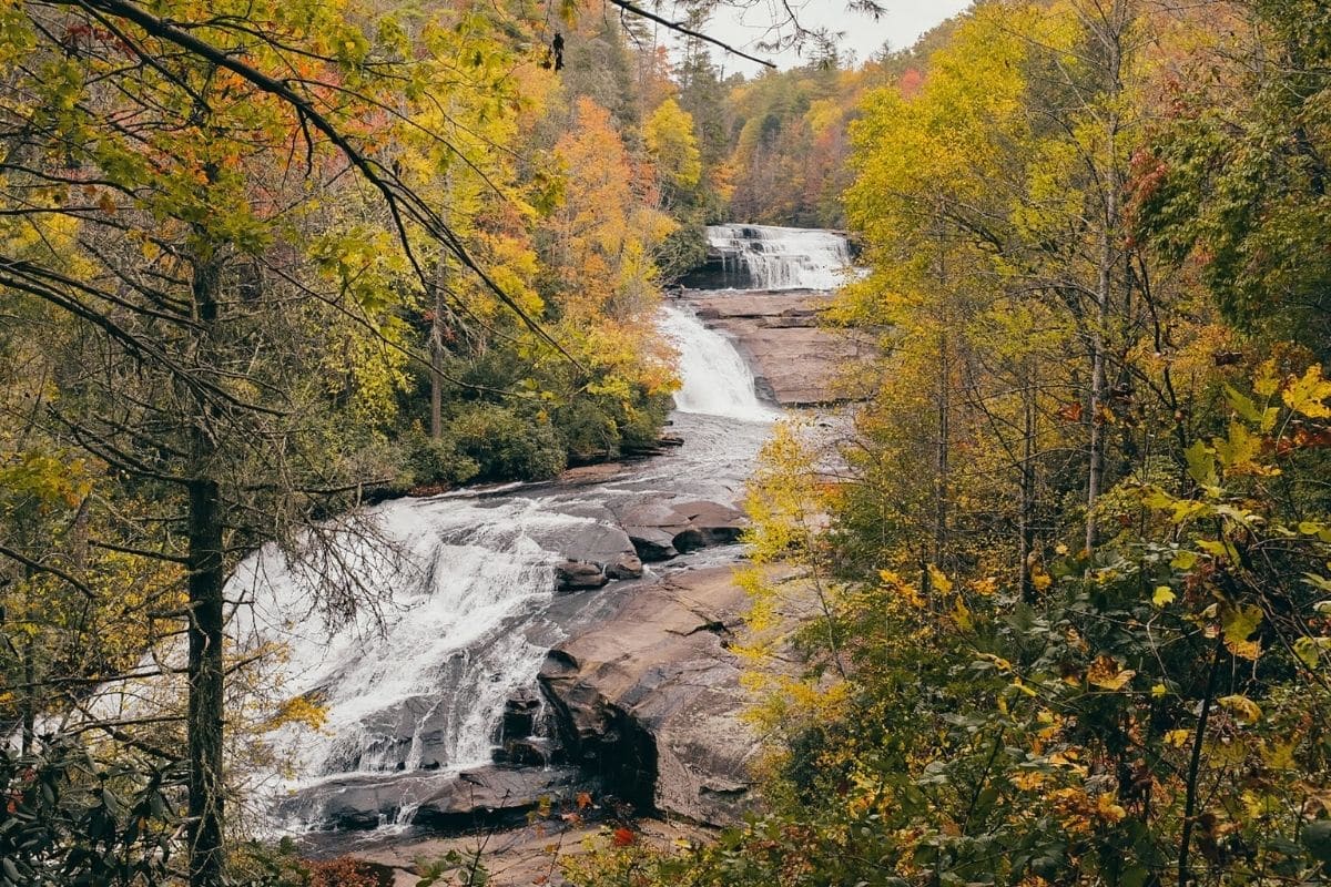
Just beyond the Grandfather Mountain area, the Parkway brings us to one of its most impressive natural stops.
At Linville Falls, the Linville River drops through a series of cascades before plunging into the rugged Linville Gorge. After the broad mountain panoramas we've been enjoying from the car, walking into the forest and hearing the river grow louder gives the journey a completely different feel.
This isn't simply a waterfall we photograph from a roadside pull-off. Several trails and viewpoints allow families to experience the falls from different perspectives, and we can choose how much walking suits the day.
The Erwins View Trail leads to several overlooks, including views of the upper falls and the main waterfall dropping into the gorge. Another trail from the visitor area leads toward Plunge Basin, although that route is more demanding.
For most families, there's no need to tackle every viewpoint. Choose one or two, enjoy the forest and let the waterfall provide the entertainment.
Family Travel Insight
Waterfall trails can be wet, rocky and slippery even when the weather seems good, so proper walking shoes are far more useful here than sandals.
Keep children close around overlooks and steep terrain as well. Linville Gorge is beautiful precisely because it is rugged, and this isn't somewhere to relax our normal trail awareness simply because a viewpoint is popular.
Get Ready for Your Family Road Trip
Plan your family road trip with great places to stay, memorable things to do and practical travel essentials for the journey.
Find Hotels & Places to Stay
Compare hotel and accommodation options for your family road trip.
🎟️ Find Things to Do Along the Way
Discover family-friendly attractions, tours and activities for stops along your route.
Family Road Trip Essentials
Pack smarter with practical travel gear for comfortable, organized family road trips.
Chapter Six
New England’s Coastal & Fall Foliage Road Trip
Historic Cities, Lighthouse Villages, Mountain Roads & Autumn Colour
Boston → Massachusetts North Shore → Maine Coast → Portland → Kennebunkport → Camden → Bar Harbor & Acadia → White Mountains → Kancamagus Highway → Stowe → Woodstock → Litchfield Hills → Newport
Few regions in North America pack as much variety into a family road trip as New England.
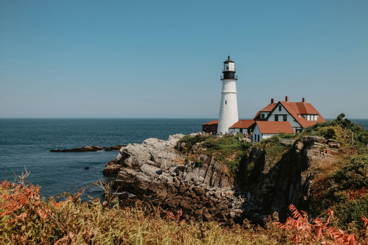
Within one journey, we can walk streets where some of the defining events of American history unfolded, explore working fishing harbours, photograph lighthouses above the Atlantic, eat lobster beside the water and watch waves crash against Maine's granite coast.
Then the ocean disappears behind us. Mountain roads carry us through New Hampshire and Vermont, where covered bridges cross clear rivers, white church steeples rise above village greens and autumn can transform entire hillsides into extraordinary shades of red, orange and gold.
Farther south, rural Connecticut leads us toward Rhode Island and a final encounter with the Atlantic among the extraordinary mansions and coastline of Newport.
This isn't one scenic drive. It's a collection of distinctly New England experiences connected by the road between them, and that's exactly what makes it such a rewarding family journey.
How Much Time Does This Road Trip Need?
New England looks deceptively compact on a map. Six states occupy a relatively small corner of the United States, which can create the impression that families can race through them in a few days.
Technically, we could. We just wouldn't experience very much.
For the complete journey in this chapter, think in terms of approximately 10 to 14 days rather than a long weekend. Families wanting several days in Boston or Acadia—or more time hiking and exploring small towns—could easily extend it further.
There's no requirement to drive the entire route either. The Maine coast and Acadia can become one vacation. New Hampshire and Vermont make another excellent combination, while Boston and southern New England can form a shorter history-and-coast journey of their own.
That's worth remembering throughout this chapter: a great road trip is something we can adapt, not something we have to complete.
Boston—Where the Journey Begins With a Story
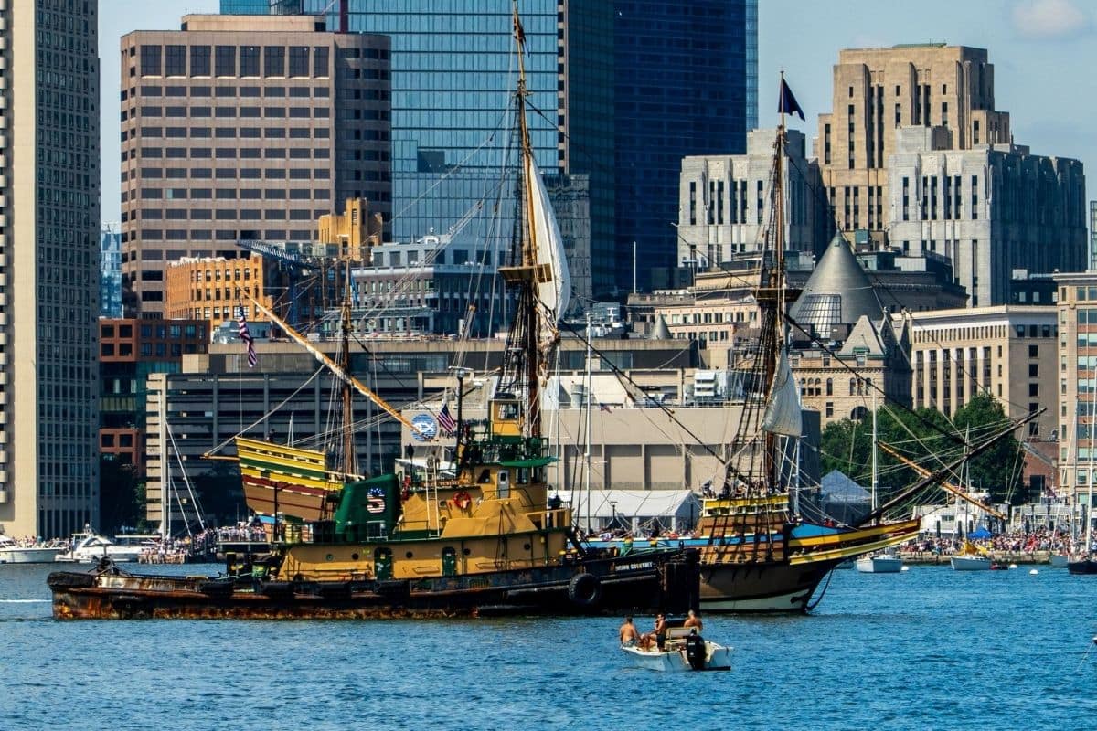
Boston makes an excellent starting point because it immediately gives families something completely different from the wilderness road trips we've recently travelled.
Before collecting the car and heading for the coast, spend some time exploring on foot. Few American cities make history quite so accessible.
Rather than being confined to museums, much of Boston's past is woven directly into its streets, churches, burial grounds and public spaces. Children can walk through places connected with events they've encountered in school and begin seeing how those stories fit together geographically.
The best-known introduction is the Freedom Trail.
The Freedom Trail — History We Can Walk Through
The Freedom Trail links 16 nationally significant historic sites along a route of roughly 2.5 miles through central Boston.
Following the distinctive brick line takes families past places including Boston Common, the Massachusetts State House, Old South Meeting House, Old State House, Paul Revere House, Old North Church and eventually the USS Constitution area in Charlestown.
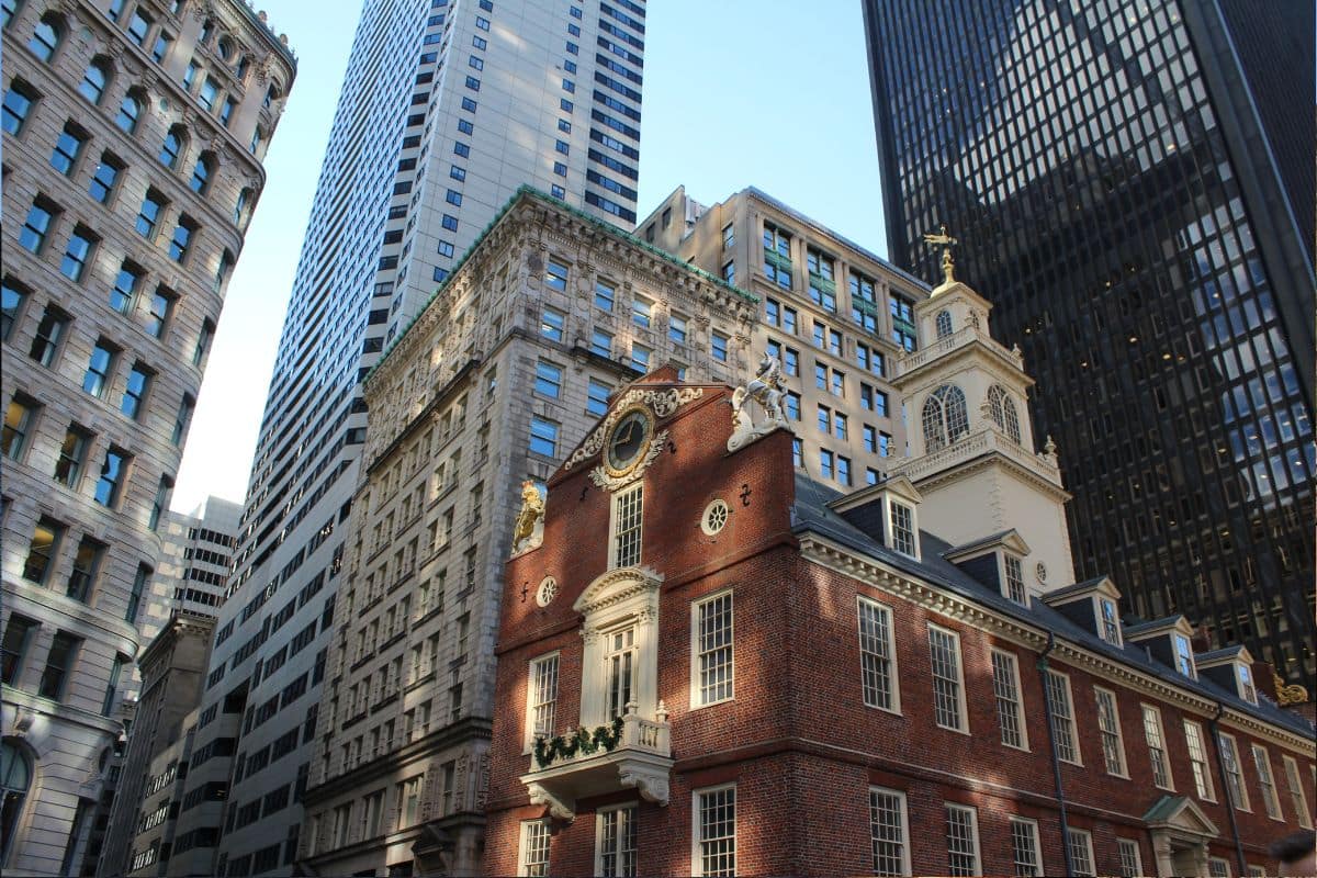
Families certainly don't need to investigate all 16 sites in depth. That's the advantage of the trail. We can walk part of it, choose the places that most interest us and stop whenever younger legs—or hungry travellers—decide they've learned enough history for one morning.
For children, following a physical line through a city can turn sightseeing into something closer to a treasure hunt.
Family Travel Insight
Don't try to combine the entire Freedom Trail with several museums simply because everything looks close together.
Choose a few important stops and leave time for Boston itself. History is much easier to enjoy when nobody is exhausted.
Boston Common & the Public Garden
Boston also gives families plenty of opportunities to slow down.
Boston Common, established in the seventeenth century, is America's oldest public park, while the neighbouring Boston Public Garden provides a greener and more ornamental escape from the surrounding streets.
For families with younger children, the famous Swan Boats have been a Boston tradition since the nineteenth century. There's something appealing about beginning a major road trip with such a simple experience.
We aren't racing anywhere yet. We're floating slowly around a lagoon.
Faneuil Hall, Quincy Market & a Taste of Boston
Eventually, sightseeing leads to the inevitable family question: “Where are we eating?”
The area around Faneuil Hall and Quincy Market provides plenty of possibilities while keeping us close to Boston's historic centre. This is also a good place to begin discovering New England through food.
Clam chowder, seafood and other regional favourites appear throughout the city, although families don't need to turn every meal into a culinary expedition.
Sometimes everyone simply wants lunch. That's allowed too.
Boston Harbor — The City Looks Different From the Water
Boston's history has always been tied to its harbour. Ships carried people, goods and ideas across the Atlantic, while the waterfront played an important role in events leading to the American Revolution.
Today the harbour gives families another way to experience the city. Depending on time and interests, we might take a harbour cruise, visit the Boston Tea Party Ships & Museum, explore the waterfront or simply walk beside the water.
Older children studying American history may particularly enjoy connecting places such as the Old State House and Old North Church with the larger story of the Revolution. Younger children may remember the boats.
Both are perfectly valid outcomes.
USS Constitution — “Old Ironsides”
Families continuing along the Freedom Trail into Charlestown encounter one of Boston's most impressive historic sights.
Launched in 1797, the USS Constitution is the world's oldest commissioned naval warship still afloat. Its nickname, “Old Ironsides,” dates to the War of 1812, when sailors reportedly saw enemy cannonballs appearing to bounce from its strong wooden hull.
Standing beside the ship gives children an immediate sense of scale that a textbook can't provide. History becomes considerably more interesting when we're looking up at the actual vessel.
One of Those Moments...
Toward the end of the day, we find somewhere along the waterfront and look back toward Boston. Boats move through the harbour while the city rises behind them, mixing historic church steeples and brick buildings with the modern skyline.
We've only just begun the road trip, but already New England has established one of its defining characteristics: the past is never very far away.
Tomorrow, however, we leave the city. Before long, fishing harbours, rocky headlands and some of America's most storied coastal communities begin replacing Boston's streets.
North of Boston — The Massachusetts Coast
Once we're ready to begin driving, we head north toward the Massachusetts North Shore.
The transition happens surprisingly quickly. Urban neighbourhoods gradually give way to smaller coastal communities, harbours and stretches of Atlantic shoreline. This is our first taste of the maritime New England that will accompany us deep into Maine.
We don't need to stop in every coastal town, but there are a couple worth considering because they offer very different stories.
Salem — More Than the Witch Trials
Salem is internationally associated with the witch trials of 1692, and that history remains an important reason people visit. But families should understand that Salem is much more than a Halloween-themed attraction.
The events of 1692 resulted in the prosecution and execution of innocent people during a period of fear, accusation and injustice. For older children, sites such as the Salem Witch Trials Memorial can provide an opportunity to discuss what actually happened rather than treating the story as spooky entertainment.
Salem also has a substantial maritime history. The Salem Maritime National Historical Park preserves buildings, wharves and stories connected with the city's important role in early American overseas trade.
That combination gives us a much fuller picture of the town. Salem wasn't created by the witch trials; it was a thriving seaport with a much longer story.
Family Travel Insight
Salem becomes exceptionally busy around Halloween. Families primarily interested in history rather than seasonal festivities may find other times of year considerably easier to explore.
And if younger children are sensitive to frightening displays, choose attractions carefully. Salem's history can be fascinating without needing to make it scary.
Gloucester — A Working Harbour
Continue around Cape Ann and the character changes again.
Gloucester has been tied to the sea for centuries and remains one of America's best-known fishing communities. This isn't simply a picturesque harbour arranged for visitors. Commercial fishing has shaped local families, traditions and the town itself for generations.
The famous Fishermen's Memorial, overlooking Gloucester Harbor, commemorates thousands of fishermen lost at sea and provides a sobering reminder of how dangerous earning a living from the Atlantic could be.
For families, Gloucester also offers something completely different: whale watching.
The waters off Massachusetts provide seasonal opportunities to see humpback, fin and other whales feeding offshore. A whale-watching trip can become one of the major wildlife experiences of the entire New England journey.
Of course, wildlife never works according to our itinerary. That's part of the excitement.
Rockport — A Classic New England Harbour
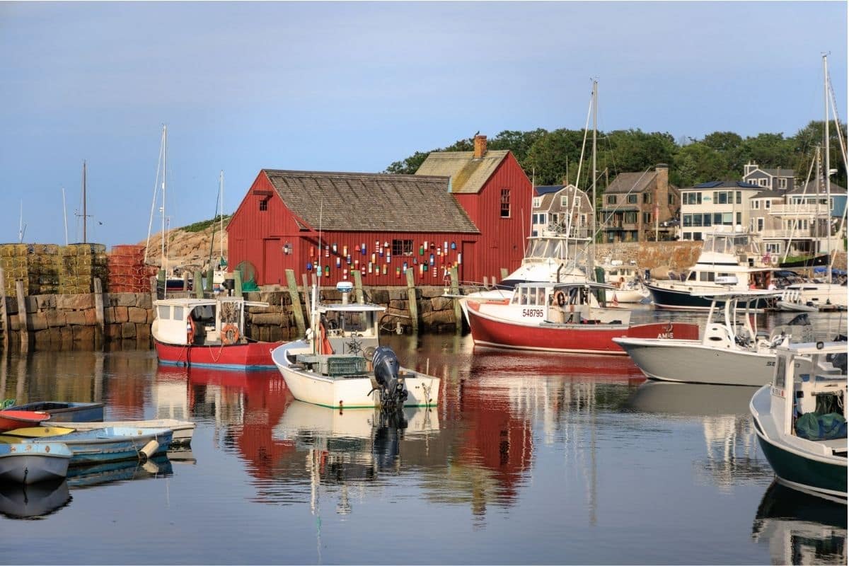
Just beyond Gloucester, Rockport gives us the postcard version of coastal New England.
The harbour is compact and wonderfully walkable, with galleries, shops and weathered buildings clustered beside the water. Its most famous landmark is Motif No. 1, a red fishing shack that has been painted and photographed so often that it has become an unofficial symbol of New England's coast.
But Rockport works best when we don't overcomplicate it.
Walk beside the harbour, browse a few shops, find an ice cream and watch fishing and pleasure boats moving through the water. After Boston and Salem's considerable history, a couple of unhurried hours beside a harbour can be exactly what the family needs.
Choosing Salem, Gloucester or Rockport
We don't necessarily need all three. That's going to become an important principle on this road trip.
A family particularly interested in American history may choose Salem. Wildlife lovers could give their time to Gloucester and a whale-watching trip, while families wanting a relaxed harbour stop may prefer Rockport.
Travelling through New England shouldn't become an exercise in collecting pretty towns. Choose the places that give your family something different.
Because once we cross into Maine, the coastline becomes even more dramatic—and New England's lighthouse country truly begins.
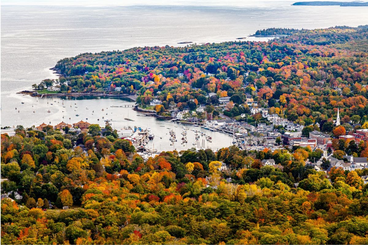
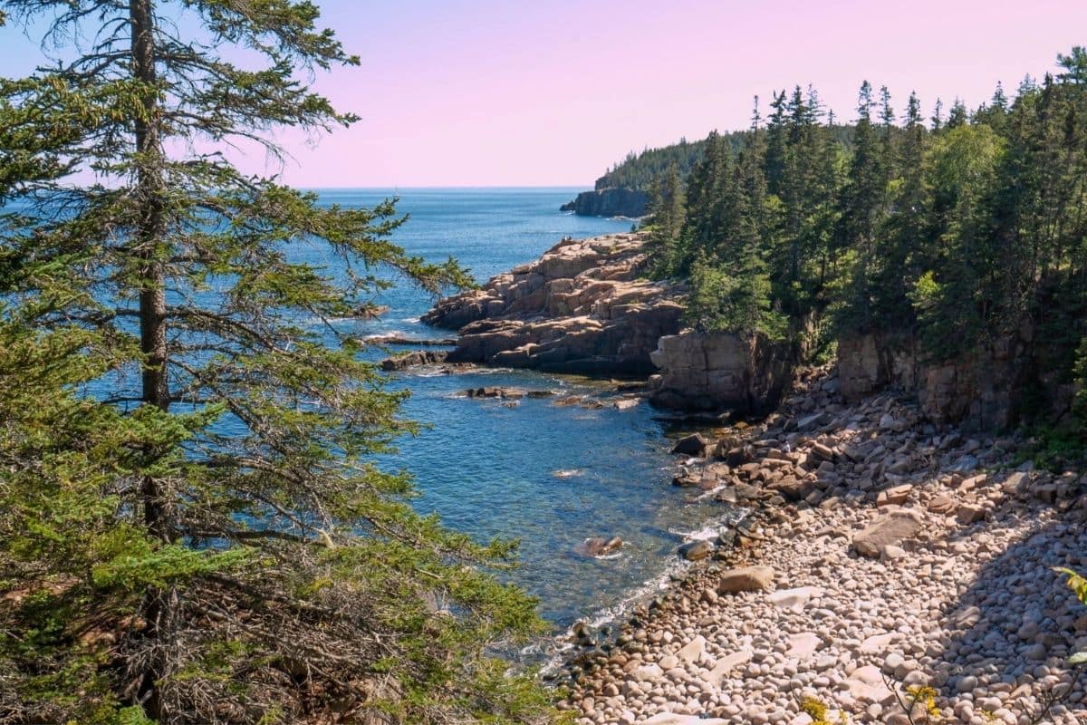
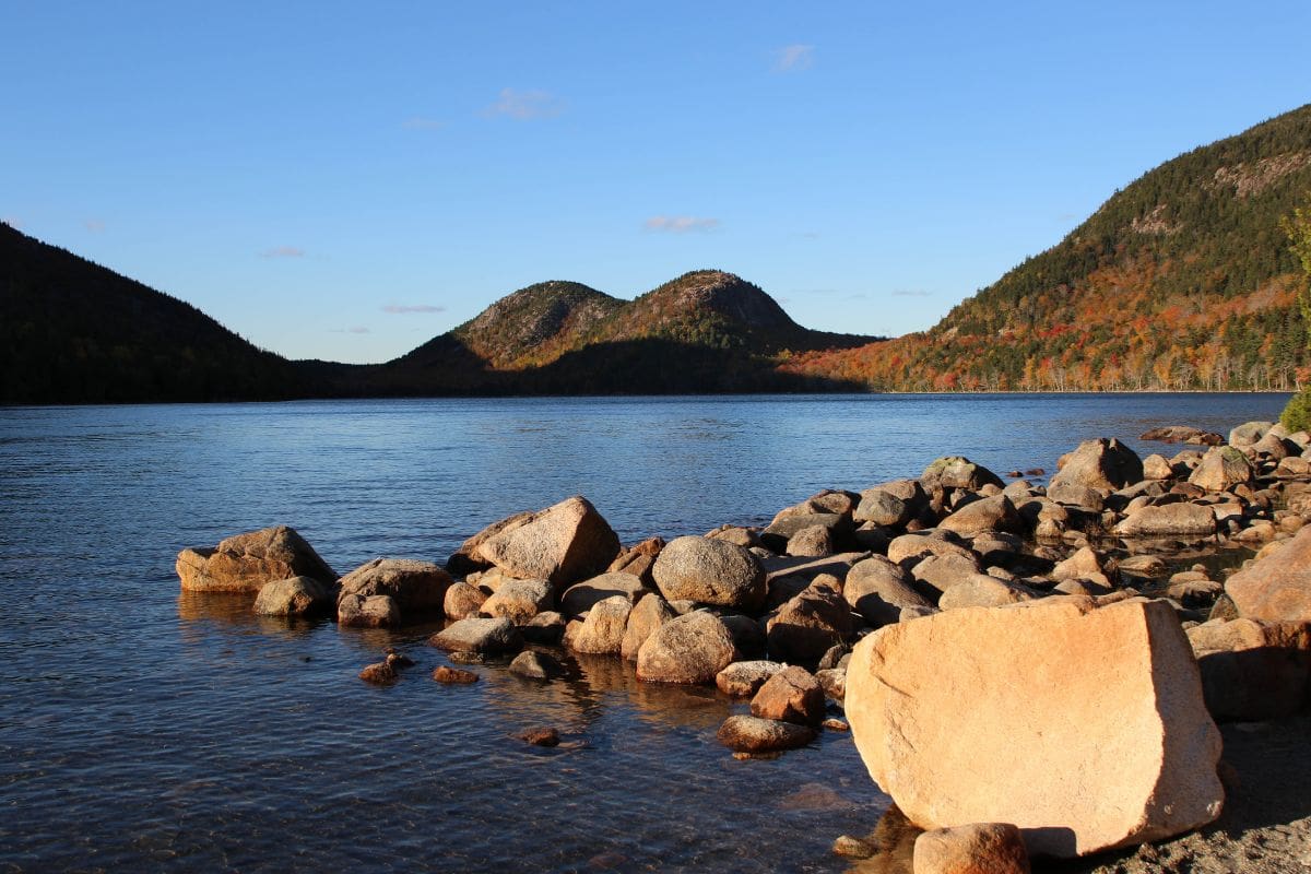
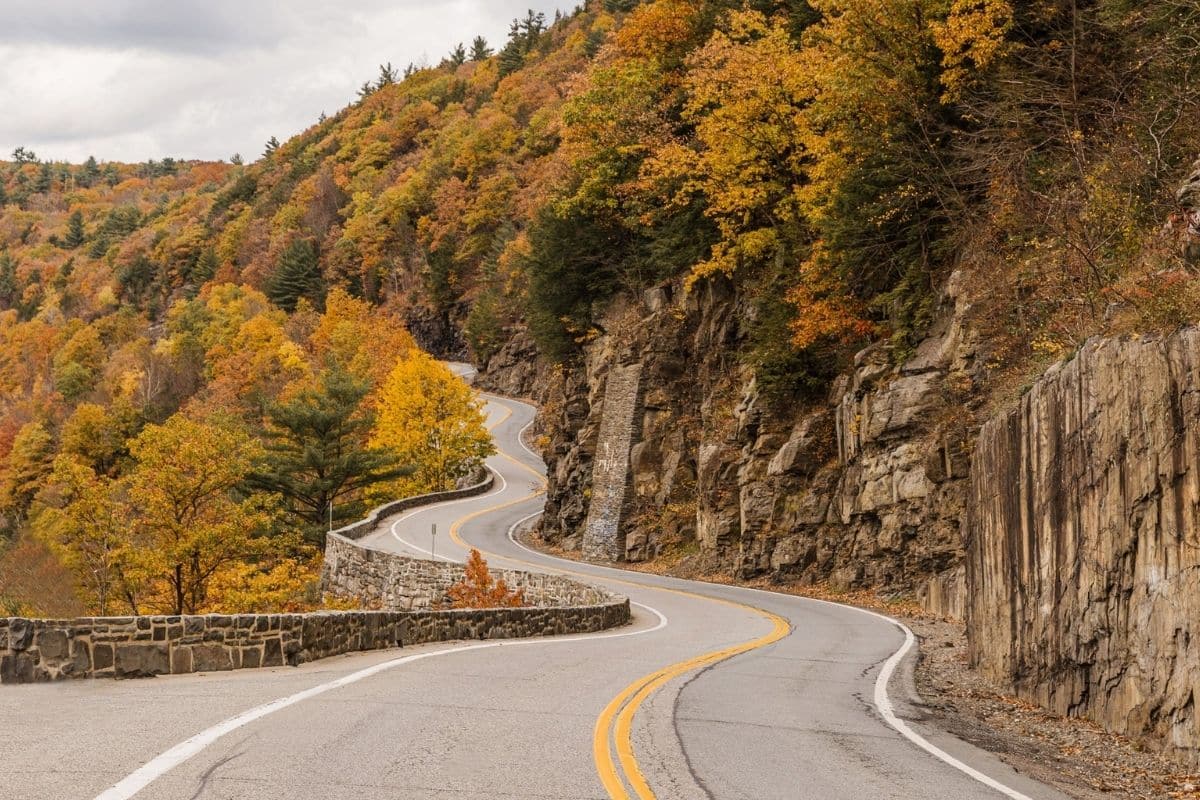
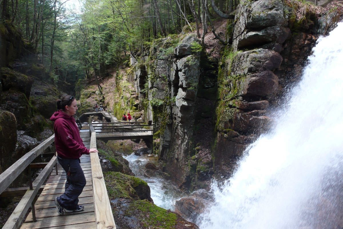
Vermont — Green Mountains, Covered Bridges & Small-Town New England
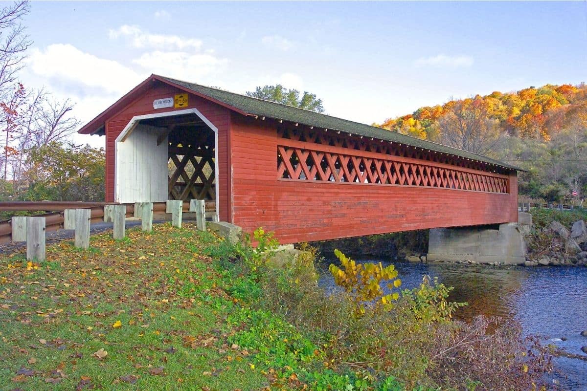
Crossing into Vermont, the White Mountains gradually give way to a landscape that feels gentler but no less distinctive.
Forested mountains frame broad valleys where farms spread across rolling hillsides, church steeples rise above compact villages and old barns sit beside roads that seem made for wandering rather than hurrying. In autumn, sugar maples turn brilliant shades of red, orange and gold, but foliage alone isn't what makes Vermont worth including in this journey.
The state gives us something we've been looking for throughout this guide: interesting places between the viewpoints.
We can explore a mountain town, drive through a historic covered bridge, visit a working farm, taste Vermont cheese or maple syrup and then follow another winding road into the Green Mountains. This is where the New England road trip slows down again—and that's exactly how Vermont should be experienced.
Stowe — A Mountain Town With Plenty to Explore
Set beneath Vermont's highest mountain, Mount Mansfield, Stowe makes an excellent base for exploring the northern Green Mountains.
The town itself has the classic New England ingredients—historic buildings, a white church steeple and mountains rising beyond the village—but there's considerably more here than a pretty photograph. Walking and cycling trails, mountain activities, nearby waterfalls and scenic roads mean families can easily spend a full day or two in the area.
Stowe is also useful because everyone doesn't have to want the same thing. One family may spend the morning hiking, another may prefer cycling, while somebody else may be perfectly happy exploring town and finding somewhere good for lunch.
On a long road trip, having choices like that becomes increasingly important.
Mount Mansfield — Vermont From Above
At 4,393 feet, Mount Mansfield is the highest mountain in Vermont.
Its long ridgeline is famous for resembling the profile of a human face when viewed from certain directions, with features traditionally known as the forehead, nose, lips, chin and Adam's apple.
Families wanting to experience the mountain have several possibilities depending on season, weather and how much walking everyone wants to do. Serious hikers can tackle demanding trails, but we don't need a strenuous summit hike to appreciate the landscape. Seasonal mountain access and scenic options in the Stowe area can provide high-elevation views without turning the day into an endurance test.
Check current operating conditions before building the day around mountain access.
Vermont weather has opinions of its own.
Smugglers' Notch — A Road With a Story
One of the most interesting drives near Stowe is Vermont Route 108 through Smugglers' Notch.
The road squeezes between Mount Mansfield and Spruce Peak, twisting through a narrow mountain pass scattered with enormous boulders. It's dramatically different from the broad Kancamagus Highway we travelled in New Hampshire; here, the road feels intimate, almost enclosed by the mountains.
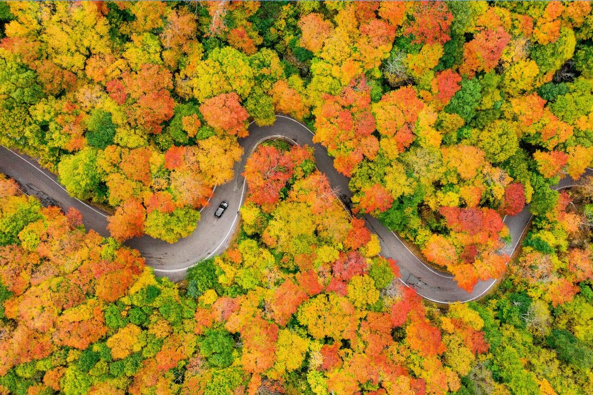
The unusual name reaches back to the early nineteenth century, when trade restrictions with Britain encouraged the illegal movement of goods through this remote mountain passage. Later stories also connect the notch with people escaping across the Canadian border.
Today, families come for considerably more innocent reasons: scenery, hiking and the experience of driving through one of Vermont's most distinctive mountain passes.
Important Seasonal Note
The narrow section of Route 108 through Smugglers' Notch is closed to vehicles during winter and isn't suitable for large commercial vehicles.
Always check current road conditions before including the notch in the day's route. That's much more useful for families than simply knowing it's a beautiful drive.
Waterbury — Ice Cream With a Vermont Story
A short drive south of Stowe gives families an opportunity for a completely different kind of research.
Ben & Jerry's began in Vermont in 1978, when Ben Cohen and Jerry Greenfield opened their first ice-cream shop in a renovated gas station in Burlington. Today, the company's Waterbury factory offers tours explaining how the ice cream is produced and telling some of the company's story.
For children, the highlight may be considerably simpler: there are samples.
Outside, the wonderfully tongue-in-cheek Flavor Graveyard commemorates discontinued flavours with miniature headstones. After historic battlefields, mountain geology and maritime museums, reading epitaphs for departed ice-cream flavours provides a little comic relief.
Family Travel Insight
Factory tours can sell out, particularly during busy travel periods, so check current schedules and ticket arrangements rather than assuming we'll be able to walk straight in.
And yes, stopping for ice cream before lunch is still allowed on a road trip.
We'll call it cultural research.
Maple Syrup — More Than Pancake Topping
Vermont and maple syrup are almost inseparable in the popular imagination, but understanding how it's produced makes that bottle on the breakfast table much more interesting.
In late winter and early spring, when nights remain below freezing but daytime temperatures rise, sap begins flowing through sugar maple trees. Traditionally, farmers collected it in buckets. Many modern sugar makers use networks of tubing, but the basic challenge remains the same: maple sap contains mostly water and must be concentrated dramatically before it becomes syrup.
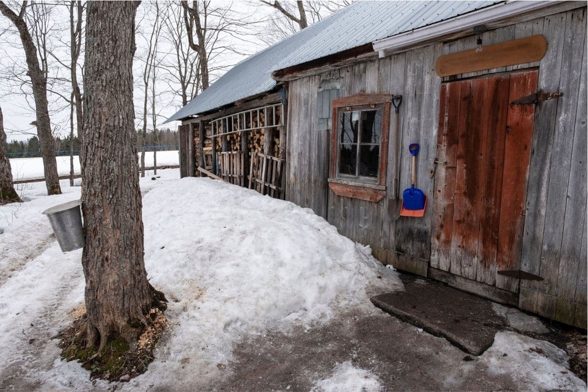
It takes roughly 40 gallons of maple sap to produce about one gallon of maple syrup, although the exact amount varies with the sugar content of the sap. Inside a sugarhouse, much of that water is removed through evaporation, filling the building with warmth and steam.
For children who assumed maple syrup simply came from a bottle, seeing how the process works can be surprisingly memorable.
When Can Families Visit a Sugarhouse?
There's an important seasonal distinction here.
The actual sugaring season is generally in late winter and early spring, not during fall foliage. Families travelling in autumn can still visit farms, maple shops and some sugarhouses, learn about production and sample maple products, but they shouldn't expect sap to be running or evaporators to be producing syrup simply because they're in Vermont.
Knowing that in advance prevents us from promising children an experience that isn't actually available at that time of year.
Did You Know?
Maple sugaring in northeastern North America didn't begin with European settlers.
Indigenous peoples were collecting and using maple sap long before Europeans arrived, and later settlers adopted and adapted maple-sugaring knowledge and techniques.
So when we stop for maple syrup in Vermont, we're participating in a food tradition with a much longer history than the familiar New England sugarhouse.
Cold Hollow Cider Mill — Another Taste of Vermont
Near Waterbury, families can add another distinctly Vermont flavour at Cold Hollow Cider Mill.
Apple cider has deep roots in New England, where orchards have been part of the agricultural landscape for centuries. Depending on the season, visitors can see cider-related production, browse Vermont foods and, perhaps most importantly from the perspective of certain family members, investigate the cider doughnuts.
Warm cider doughnuts and fresh apple cider on a cool autumn day are exactly the sort of small regional experience that belongs on this road trip—not because they're famous enough to justify crossing a continent, but because we're already here.
Food is also one of the easiest ways for children to remember where they've been.
Vermont Route 100 — The Road Through the Green Mountains
From the Stowe and Waterbury area, Vermont Route 100 provides one of the classic ways to continue south through the state.
The highway follows the eastern side of the Green Mountains for much of its route, connecting small communities, farmland, forests and mountain recreation areas. In autumn, it becomes one of Vermont's best-known foliage drives.
But we've already seen autumn colour. What matters now is what we discover among the trees, and one particularly worthwhile stop gives us another taste of rural Vermont.
Billings Farm & Museum — Where the Landscape Becomes a Working Farm
Near Woodstock, Billings Farm & Museum helps explain the agricultural landscape we've been driving through.
This isn't simply a collection of picturesque barns. The site combines a working dairy farm with exhibits and programs exploring Vermont's rural history and agricultural traditions. Depending on the day and season, families may encounter farm animals, demonstrations and activities connected with life and work on a Vermont farm.
For children, this provides a useful change from scenic driving. Cows don't care how beautiful the autumn foliage is; they have their own schedule.
Seeing an operating farm also helps us understand that Vermont's celebrated rural landscape isn't merely decorative. Generations of people have worked this land, and people continue doing so today.
Woodstock — The New England Village Everyone Imagines
Eventually we reach Woodstock, one of Vermont's best-known historic villages.
Yes, it's beautiful. A covered bridge crosses the Ottauquechee River near the centre of town, historic homes line leafy streets and the village green gives Woodstock the unmistakable appearance people often picture when they imagine rural New England.
But Woodstock is most enjoyable when we resist the temptation to treat it like a film set. People actually live here.
Walk through the village, browse independent shops, find somewhere for lunch and allow enough time to explore without marching from photograph to photograph. The town's appeal comes partly from how comfortably history and everyday life coexist.
Middle Covered Bridge — History We Still Drive Through
Right in Woodstock, the Middle Covered Bridge crosses the Ottauquechee River and gives families an easy introduction to one of Vermont's most recognisable forms of architecture.
Covered bridges weren't roofed simply because someone thought they looked charming. The covering helped protect the bridge's wooden structural components from rain, snow and harsh weather, considerably extending their useful life.
That changes the way we see them. What now appears quaint was originally practical engineering.
Vermont still has more than 100 covered bridges, but—as with Maine's lighthouses—we don't need to collect them all. One good bridge with an interesting story is worth more than six hurried photographs.
Taftsville Covered Bridge — One Worth the Short Detour
A few miles east of Woodstock, the Taftsville Covered Bridge provides another particularly attractive example.
Dating to the nineteenth century, the long red bridge crosses the Ottauquechee River near the small community of Taftsville. Its setting gives us exactly the scene people travel to Vermont hoping to find: river, historic bridge, wooded hills and a small rural community.
But now we understand why these bridges matter. They're not simply decorations in an autumn photograph; they're surviving pieces of New England transportation history.
Quechee Gorge — Vermont's Little Grand Canyon
Continue east and the landscape suddenly opens beneath us at Quechee Gorge.
The Ottauquechee River flows roughly 165 feet below the surrounding cliffs, creating Vermont's deepest gorge. The nickname “Vermont's Little Grand Canyon” is inevitably used, although we don't need to take the comparison too literally.
What matters is that the gorge gives us another change of scenery. After farms, villages and covered bridges, we're looking down into a steep river gorge carved through the landscape.
Families can enjoy views from around the bridge and, depending on time and conditions, explore trails that provide a closer look.
Family Travel Insight
Be especially careful with children around viewpoints, roads and steep terrain at Quechee Gorge.
And don't feel obligated to add a long walk simply because there's a trail. By this stage of the journey, knowing when not to add another activity is becoming one of our most useful road-trip skills.
One of Those Moments...
Late in the afternoon, we leave Woodstock along a quiet country road. An old red barn sits beyond a field while forested hills rise behind it. Somewhere ahead, a covered bridge crosses the river and the late sunlight catches patches of yellow and red in the trees.
We've spent the day doing remarkably ordinary things: eating ice cream, tasting cider, learning where maple syrup comes from, watching farm animals, walking through a small town and crossing an old wooden bridge.
Yet together, those experiences tell us far more about Vermont than another dozen scenic overlooks ever could.
The Green Mountains gave us the scenery, while the farms, food, bridges and communities gave that scenery a story.
Now our road turns south again. The mountains gradually become gentler, Vermont begins slipping behind us and another corner of New England waits ahead.
Next we'll follow the rural roads of Connecticut's Litchfield Hills, where a beautiful covered bridge leads us toward historic villages before we return to the Atlantic for a very different finale in Newport, Rhode Island.
Connecticut — Quiet Roads Through the Litchfield Hills
Leaving Vermont and travelling south into Connecticut, the mountains gradually soften into wooded hills, farmland and small historic communities.
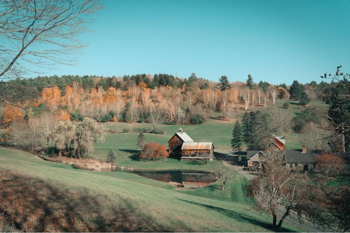
Connecticut can easily be overlooked on a New England road trip. It doesn't have Acadia's granite coastline, New Hampshire's dramatic White Mountains or Vermont's instantly recognisable mountain villages, but that's actually part of its appeal.
The Litchfield Hills give families a quieter stretch of the journey, with winding country roads connecting farms, lakes and historic towns. We don't need several days here to justify including Connecticut; what we need is a route that adds something different before we return to the Atlantic.
West Cornwall Covered Bridge — A New England Landmark Still in Use
One of our best stops is the West Cornwall Covered Bridge, which carries traffic across the Housatonic River in northwestern Connecticut.
Its red wooden exterior and peaceful riverside setting create exactly the sort of scene associated with rural New England, but this isn't simply a historic structure preserved for photographs. The bridge remains part of the local road network, connecting communities on either side of the river.

Like the covered bridges we encountered in Vermont, its enclosed design helped protect the wooden structural elements from New England's demanding weather.
Pull over somewhere appropriate, walk around the village and enjoy the river rather than treating the bridge as another photograph to collect. This is one of those stops that works precisely because it doesn't require an elaborate plan.
Following the Housatonic River
From West Cornwall, the road through the Housatonic Valley provides an attractive way to continue exploring the Litchfield Hills.
The river winds through forest and rural countryside, accompanied by small communities and roads that become particularly beautiful during autumn. Rather than one enormous attraction dominating the day, the pleasure comes from connecting several smaller experiences.
This is good road-trip territory for following a promising side road, stopping at a farm stand or taking a break beside the river when somewhere catches our attention.
After some of the heavily visited attractions earlier in the journey, that freedom can feel refreshing.
Kent — A Small Town With a Waterfall Nearby
The village of Kent makes a useful stop farther south.
Its compact centre has shops, galleries and places to eat, while nearby Kent Falls State Park gives families another opportunity to leave the car and enter the woods.
Here, Falls Brook descends through a series of cascades before joining the Housatonic River. A trail follows the waterfall uphill, allowing visitors to see different sections along the way.
We've already visited several waterfalls on this road trip, so Kent Falls isn't something every family needs to add. But if everyone wants a walk—or if autumn colour is particularly good—it can be a lovely break from driving.
That's the advantage of building choices into the route. We can decide according to the weather, energy levels and what we've already experienced rather than following an inflexible checklist.
Litchfield — A Town Shaped by Early America
Continue through the hills and we reach Litchfield, whose historic centre reflects another side of New England's past.
During the late eighteenth and early nineteenth centuries, the town became an important centre of education and political thought. The Litchfield Law School, established by Tapping Reeve, trained students who went on to influential careers in the young United States.
Nearby, educator Sarah Pierce established the Litchfield Female Academy, which became one of the country's important early schools for women.
That gives families something we haven't encountered much on this journey. Instead of another maritime story or mountain settlement, Litchfield introduces us to the development of education in the early United States.
We don't need a lengthy history lesson to appreciate it. A walk around the historic district and village green can be enough to understand that these quiet streets once attracted students from across the young nation.
Farms, Apples & the Flavours of Autumn
Connecticut's countryside also gives us another opportunity to experience New England through food.
During autumn, orchards and farm markets across the region fill with apples, pumpkins, cider and seasonal baked goods. Depending on timing and availability, families travelling during harvest season may also find pick-your-own orchards.
This isn't unique to Connecticut, of course. We've already encountered cider and farm traditions in Vermont, but that's part of the wider New England story. The landscape, seasons and food are connected, and autumn isn't something people here experience only by looking at leaves.
They taste it too.
Family Travel Insight
If you're travelling during the busiest fall weekends, don't assume every orchard, inn or restaurant will have space simply because we're away from the major cities. Popular rural areas can become extremely busy during peak foliage season.
A little advance planning for accommodation can preserve the spontaneity of everything else.
Why Connecticut Belongs on This Journey
We could drive directly from Vermont toward Rhode Island and save some time, but we'd miss this quieter transition.
The Litchfield Hills aren't included because every New England state needs equal space. They're here because they allow us to experience rural southern New England before the journey changes character again.
We cross a working covered bridge, follow the Housatonic River, explore a historic town and perhaps stop at an orchard or waterfall. None of these experiences needs an entire day, yet together they create a pleasant bridge between Vermont's Green Mountains and Rhode Island's coast.
And now the road begins leading us back toward the sea.
Rhode Island — Returning to the Atlantic
By the time we enter Rhode Island, it has been several days since we left the Atlantic behind in Maine.
Now salt water returns to the journey, but the coastline feels very different. Maine gave us lobster boats, granite headlands and lighthouses; Rhode Island introduces sheltered bays, sailing traditions and historic seaside communities.
Our final major destination is a city where some of America's wealthiest families once built extraordinary summer homes overlooking the ocean.
Newport.
Newport — Sailing, Sea Cliffs & America's Gilded Age
Newport has reinvented itself several times during its long history.
It grew as an important colonial port, developed strong maritime connections and later became one of America's most fashionable summer resorts. During the late nineteenth century, wealthy families including the Vanderbilts and Astors built enormous seasonal residences here.
Calling them “summer cottages,” as their owners sometimes did, requires a generous interpretation of the word cottage.
Today those mansions give Newport something completely different from anywhere else on our road trip. After farms, covered bridges and mountain roads, we're suddenly standing outside palatial homes built to display extraordinary wealth during America's Gilded Age.
The Breakers — Anything but a Cottage

If families choose one Newport mansion, The Breakers is the obvious place to begin.
Built for Cornelius Vanderbilt II in the 1890s, the enormous Italian Renaissance-inspired residence contains approximately 70 rooms and overlooks the Atlantic from a spectacular coastal setting.
The interiors are deliberately extravagant, with marble, elaborate woodwork, mosaics and grand spaces created for entertaining on an almost unimaginable scale.
For children, the most interesting approach may be comparison rather than architecture. Think back to the modest Appalachian buildings we visited earlier in this guide or the working farms we've just travelled through in Vermont.
People were living in all these places during overlapping periods of American history, yet their lives could hardly have been more different.
That's what makes The Breakers more than a very large house. It gives families a tangible glimpse of the enormous wealth and social divisions associated with the Gilded Age.
Cliff Walk — Mansions on One Side, Atlantic on the Other
Newport's famous Cliff Walk combines two sides of the city in a single experience.
The route extends for roughly 3.5 miles along the eastern shoreline, with Atlantic views on one side and several historic estates on the other.
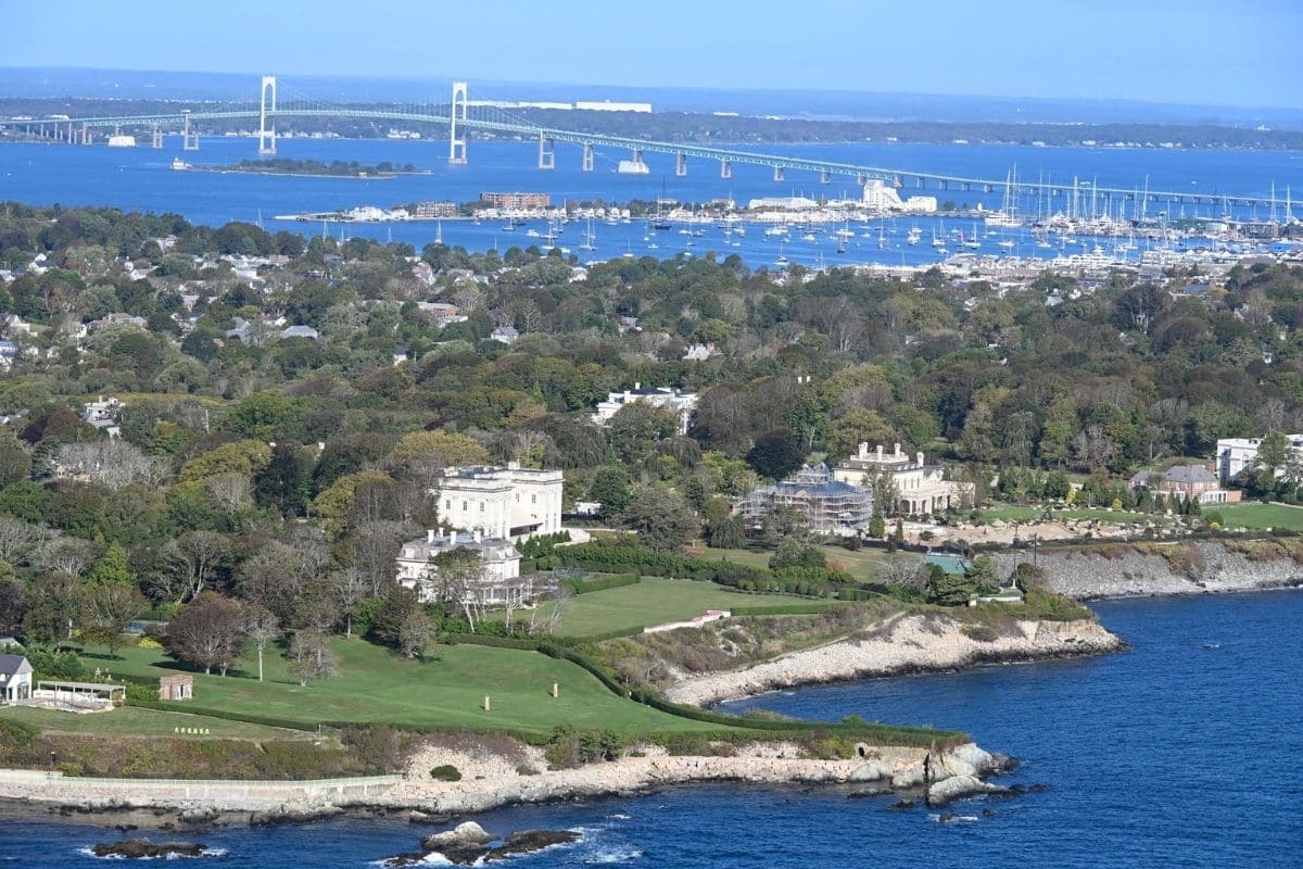
Families don't need to walk the entire distance. Portions of the southern route become rougher and more difficult than the easier northern stretches, so choose a section appropriate for the family and turn around when everyone has seen enough.
The appeal isn't completing 3.5 miles. It's the extraordinary contrast between waves breaking against the rocky shoreline and enormous mansions standing just beyond it.
Family Travel Insight
Don't assume the entire Cliff Walk is a smooth family promenade. Conditions vary considerably along the route, and some portions involve uneven or rugged terrain.
For families with younger children, limited mobility or strollers, research current access conditions and choose an easier section rather than setting out to complete the entire walk.
Ocean Drive — Newport From the Car
After all the walking we've done throughout New England, Ocean Drive gives us permission to enjoy Newport from the car.
The roughly ten-mile coastal route passes rocky shoreline, historic estates and open Atlantic views before looping around the southern part of Aquidneck Island.
Stop where appropriate, but don't feel compelled to turn every viewpoint into an excursion. Sometimes a scenic drive is allowed to be exactly that.
Open the windows if the weather cooperates, watch sailboats offshore and enjoy the fact that, after travelling through mountains and forests for several days, we've returned to the Atlantic.
Why Newport Makes Such a Good Finale
Newport works as the final major destination because it doesn't repeat anything that came before it.
Boston gave us Revolutionary history. Maine gave us working harbours and Acadia's wild coast. New Hampshire carried us through the White Mountains, Vermont slowed the journey among farms, food and covered bridges, and Connecticut gave us a quieter rural transition.
Newport finishes with sailing, ocean cliffs and Gilded Age history.
The landscape has changed repeatedly, but so has the story.
Before we finish the journey, though, there's one practical question families planning this particular road trip need answered properly:
When should we actually come if we want to see New England's famous fall colours?
When to See New England's Fall Colours
There isn't one perfect week when all of New England reaches peak colour at the same time.
Autumn generally progresses from north to south and from higher elevations toward lower elevations, although temperature, rainfall, wind and other conditions can alter the timing each year. That means the mountains of northern New England may be approaching peak colour while coastal and southern areas are still largely green.
For a road trip covering Maine, New Hampshire, Vermont, Connecticut and Rhode Island, this variation can actually work in our favour.
Rather than trying to find one magical date, follow current foliage reports as the trip approaches and keep some flexibility in the route. State tourism offices and local weather services publish updated foliage information during autumn, which is far more useful than relying on a prediction made months earlier.
Family Travel Insight
If fall colour is the main reason for the journey, avoid booking every scenic day so tightly that the itinerary can't change.
Accommodation may need to be reserved well ahead during popular autumn weekends, but individual drives and day trips can remain flexible. If one mountain region is past peak while another is approaching it, that information can help us decide where to spend more time.
The objective isn't to find one perfect red maple tree.
It's to experience autumn unfolding across New England.
How Long Should Families Allow?
For the complete journey we've travelled in this chapter, 10 to 14 days is a sensible starting point.
That doesn't mean families need two weeks to enjoy New England. Quite the opposite: if time is limited, shorten the geography rather than rushing through everything.
Families could combine Boston, coastal Maine and Acadia for a superb coast-and-history vacation. Another trip could concentrate on the White Mountains, Kancamagus Highway, Stowe and Woodstock, particularly during foliage season.
A shorter road trip with time to explore will almost always be more enjoyable than six states seen mainly through a windshield.
What Should Be Booked Ahead?
Some parts of this journey benefit from advance planning, particularly during summer and the busy autumn season.
Accommodation around Acadia and Bar Harbor can fill well ahead, as can popular inns and hotels in New Hampshire and Vermont during peak foliage weekends. Families planning to drive Cadillac Summit Road during its reservation season should also check current National Park Service requirements before arriving.
Popular activities such as whale-watching trips, some factory tours and major Newport attractions may also be worth reserving in advance.
But don't reserve every hour. Leave room for the unexpected harbour, farm stand, country store or covered bridge that wasn't on the itinerary.
Those unscheduled stops are part of what makes this road trip work.
A Final Look at New England
By the time we reach Newport, it's difficult to believe how much the landscape has changed.
We began among the historic streets and harbour of Boston before following the Atlantic into Maine, where fishing communities, lighthouses and lobster boats led us toward the granite mountains of Acadia. Then we turned inland through New Hampshire's mountain passes, waterfalls and Kancamagus Highway.
Vermont replaced rugged peaks with farms, maple traditions, covered bridges and small communities tucked among the Green Mountains. Connecticut gave us a quieter journey through the Litchfield Hills before Rhode Island returned us to the Atlantic among Newport's cliffs, sailboats and extraordinary Gilded Age mansions.
Yet the places we remember may be much smaller: a warm cider doughnut, a lobster boat returning to harbour, the sound of waves against Acadia's granite shore, a child discovering that maple syrup begins as almost-clear tree sap or the sound of tyres crossing the wooden boards of an old covered bridge.
Those experiences are difficult to schedule precisely, and perhaps that's the point.
New England rewards families who know where they're going but aren't afraid to stop along the way.
Why This Road Trip Stays With You
New England doesn't give us one enormous landscape that dominates the entire journey.
It gives us constant change.
Ocean becomes mountain, mountain becomes farmland and country roads eventually lead us back to the sea. Along the way, history isn't confined to museums; it survives in harbours, farms, bridges, villages and communities that continue adapting while preserving a strong sense of place.
Come for the famous autumn colours if that's what first catches your imagination, but don't be surprised if the family comes home talking just as much about the lobster roll, the whale that surfaced beside the boat, the mountain road hidden in fog or the little Vermont store you hadn't planned to visit.
That's when you know the road trip worked.
Chapter Seven
The Cabot Trail
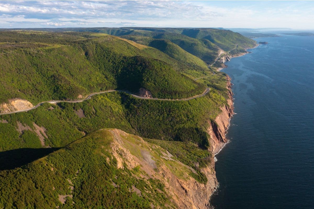
Cape Breton's Mountains, Ocean & Living Culture
Baddeck → Margaree Valley → Chéticamp → Cape Breton Highlands National Park → Pleasant Bay → Cape North → Ingonish → Baddeck
Some road trips are memorable because of one extraordinary destination. The Cabot Trail is memorable because the journey keeps changing.
Running for nearly 300 kilometres (185 miles) around northern Cape Breton Island, the road climbs through forested highlands, follows cliffs above the Gulf of St. Lawrence and Atlantic Ocean, descends into fishing communities and winds through Cape Breton Highlands National Park. Roughly 106 kilometres of the route lie within the national park itself.
Yet scenery is only part of the reason this journey belongs among North America's great family road trips.
Cape Breton is Unama'ki, part of Mi'kma'ki and the ancestral and unceded territory of the Mi'kmaq. The island was later shaped by Acadian and Gaelic-speaking settlers whose languages, food, music and traditions remain part of Cape Breton life today. Even the management of Cape Breton Highlands National Park now includes a formal partnership between Parks Canada and the Mi'kmaq of Nova Scotia.
That combination gives families something much richer than a scenic loop. We can explore the life of an inventor in Baddeck, hear fiddles and Gaelic music, discover Acadian communities, walk above the Gulf of St. Lawrence, look for whales and moose, visit beaches beneath forested headlands and eat seafood in communities where the ocean still helps shape everyday life.
The Cabot Trail isn't simply a road around Cape Breton. It's a journey through the island's landscape and its stories.
How Long Does the Cabot Trail Need?
The Cabot Trail can technically be driven in a day, but I wouldn't recommend experiencing it that way.
With nearly 300 kilometres of winding road, mountain sections, viewpoints, communities and national-park stops, completing the loop quickly means spending much of the day watching Cape Breton through a windshield.
For most families, two or three days provides a much better introduction. Three or four days gives us even more freedom for hiking, beaches, whale watching and cultural experiences without constantly calculating how far remains before the next hotel.
Unlike our much larger New England journey in Chapter Six, this is a wonderfully compact road trip. We don't need two weeks; we simply need enough time to stop.
Baddeck — A Natural Beginning
Set beside beautiful Bras d'Or Lake, Baddeck makes an excellent place to begin and finish the Cabot Trail.
The village is small enough to feel relaxed but has accommodation, restaurants and useful services before we head into the more remote northern sections of Cape Breton.
More importantly, Baddeck gives us our first genuinely surprising story: one of history's most famous inventors chose this peaceful corner of Nova Scotia as his home.
Alexander Graham Bell — Far More Than the Telephone
Most children recognise Alexander Graham Bell as the inventor associated with the telephone, but that is only a fraction of his story.
Bell became fascinated by flight, sound, communication, engineering and experimentation. He worked on enormous kites, aircraft and hydrofoil boats and continued exploring new ideas throughout his life.
After visiting Cape Breton, Alexander and his wife Mabel Bell established a summer estate called Beinn Bhreagh overlooking Bras d'Or Lake near Baddeck.
Today, the Alexander Graham Bell National Historic Site contains the world's largest collection of Bell's mementos, photographs and models, along with exhibits exploring his experiments and inventions. Families should allow enough time to experience the museum and grounds rather than treating it as a quick roadside stop.
For children, this is much more engaging than simply reading that Bell invented the telephone. They encounter someone who remained curious about how things worked throughout his life—and who wasn't afraid to experiment with ideas that didn't always succeed.
Did You Know?
Bell's work in Cape Breton contributed to pioneering experiments in powered flight and hydrofoil design. The museum's collection includes objects and models connected with these lesser-known projects, revealing an inventor whose interests ranged far beyond communication.
That makes Baddeck a fitting place to begin a road trip built around curiosity.
Don't Forget Mabel Bell
There's another story here that deserves more attention than it often receives.
Mabel Hubbard Bell wasn't simply Alexander Graham Bell's wife. She played an important role in supporting his work and became involved in community, educational and agricultural initiatives of her own.
Parks Canada now interprets Mabel's contributions to biodiversity and science through gardens and programming at the historic site. Including her story gives children a fuller picture of the people behind famous achievements, because history is rarely created by one person working entirely alone.
Bras d'Or Lake — An Inland Sea at the Heart of Cape Breton
Before leaving Baddeck, take a moment to appreciate the enormous body of water beside us.
Bras d'Or Lake isn't an ordinary freshwater lake. It's an inland sea connected to the Atlantic, with a mixture of fresh and salt water flowing through a complicated landscape of channels, bays and islands.
The surrounding Bras d'Or Lake region is recognised as a UNESCO biosphere reserve, reflecting the ecological and cultural importance of this extraordinary watershed.
For travellers, however, its appeal is immediate. Water seems to appear everywhere around Baddeck, with wooded hills rising beyond it and boats moving quietly across broad sheltered bays.
After the enormous landscapes of some earlier chapters, Cape Breton begins with something gentler. We have mountains ahead, but there's no need to rush toward them.
Family Travel Insight
Baddeck is a good place to stock the car with drinks and snacks before beginning the northern loop. Services become less frequent in parts of the Highlands, and children have an uncanny ability to become hungry immediately after the last convenient shop disappears.
It's also worth checking weather and current park conditions before setting out. Cape Breton's coastal and mountain weather can change quickly.
Which Direction Should We Drive?
One of the perennial Cabot Trail debates is whether to drive clockwise or counterclockwise. There is no universally correct answer.
Parks Canada notes that the scenery differs depending on direction but is impressive either way. The national park can be entered from Chéticamp on the western side or Ingonish on the eastern side.
For this journey, we'll travel counterclockwise from Baddeck toward St. Ann's and Ingonish, continue around the northern Highlands and eventually descend the western coast through Pleasant Bay and Chéticamp.
That direction gives our story a particularly satisfying progression: Cape Breton's Gaelic heritage introduces the journey, the Atlantic side leads us into the national park, the road climbs into the wild northern Highlands, and the western coast eventually brings us into Acadian communities and some of the Cabot Trail's most celebrated ocean views.
But families travelling the opposite direction aren't doing it wrong.
A road trip isn't an exam.
St. Ann's — Where Gaelic Cape Breton Comes Alive
Leaving Baddeck and following the Cabot Trail toward the eastern coast brings us toward St. Ann's, where one of Cape Breton's most important cultural stories comes into focus.
Beginning in the late eighteenth century and continuing through the nineteenth, thousands of Scottish Gaelic immigrants settled on Cape Breton Island. They brought language, stories, songs, dance and fiddle traditions that took root here and survived across generations.
Those traditions aren't simply something we read about in a museum; they're still heard today.
At Colaisde na Gàidhlig — the Gaelic College, established at St. Ann's in 1938, visitors can learn about Gaelic language, music, dance and traditional crafts.
For families, this can be a valuable stop because it changes the way we'll experience the rest of Cape Breton. When fiddle music appears later in a restaurant or community hall, it no longer sounds like background entertainment added for tourists; we understand some of the history behind it.
Why Cape Breton Music Sounds Different
Cape Breton fiddle music developed from Scottish traditions but evolved on the island over generations.
The fiddle is often accompanied by piano, while rhythmic footwork can become part of the performance itself. Music, dance and storytelling remain important ways communities maintain cultural connections.
Children don't need a lesson in musical history to enjoy it. They only need to watch what happens when a lively fiddle tune begins and someone nearby starts keeping time with their feet.
Before long, sitting completely still becomes surprisingly difficult.
Family Travel Insight
If there's a ceilidh or family-friendly live-music event happening during your stay, consider making room for it.
A ceilidh—traditionally a social gathering involving music, stories and company—allows families to experience Cape Breton culture rather than simply read about it.
And don't worry if nobody in the family knows the dances. Nobody arrives on vacation expecting a professional performance from you.
The Road Turns Toward the Atlantic
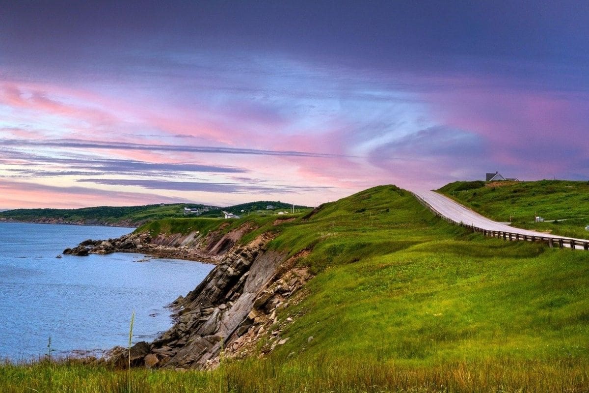
Beyond St. Ann's, the Cabot Trail begins drawing us toward the eastern coastline and Ingonish, one of the principal gateways to Cape Breton Highlands National Park.
The terrain becomes more dramatic as forested slopes rise around the road and glimpses of ocean begin appearing between the trees. This is where the Cabot Trail starts delivering the scenery that made it famous, but we now arrive with a better understanding of the island we're travelling through.
These aren't empty mountains beside an empty sea. They form part of Unama'ki, a landscape with Mi'kmaw history stretching back thousands of years and communities whose cultures continue to shape Cape Breton today.
Ahead, the road enters Cape Breton Highlands National Park, where approximately one-third of the Cabot Trail winds through protected mountains, valleys and coastline. With numerous hiking trails as well as beaches, picnic areas and other family facilities, our next day can involve considerably more than scenic driving.
Our first major base is Ingonish, where mountains descend toward beaches on the Atlantic coast.
Ingonish — Beaches Beneath the Highlands
Arriving in Ingonish, families encounter one of the Cabot Trail's most appealing combinations: mountains, forest and Atlantic beaches within a remarkably compact area.
This is one reason I wouldn't treat Ingonish simply as somewhere to drive through on the way around the Highlands. It makes a useful base for exploring the eastern side of Cape Breton Highlands National Park, particularly for families wanting to combine a scenic drive with shorter walks and time beside the ocean.
The coastline here is very different from the broad sandy beaches many families associate with a seaside vacation. Forested headlands rise behind coves, rocky points extend into the Atlantic and the Highlands seem to reach almost to the water.
Ingonish Beach — Where Fresh Water Meets the Atlantic
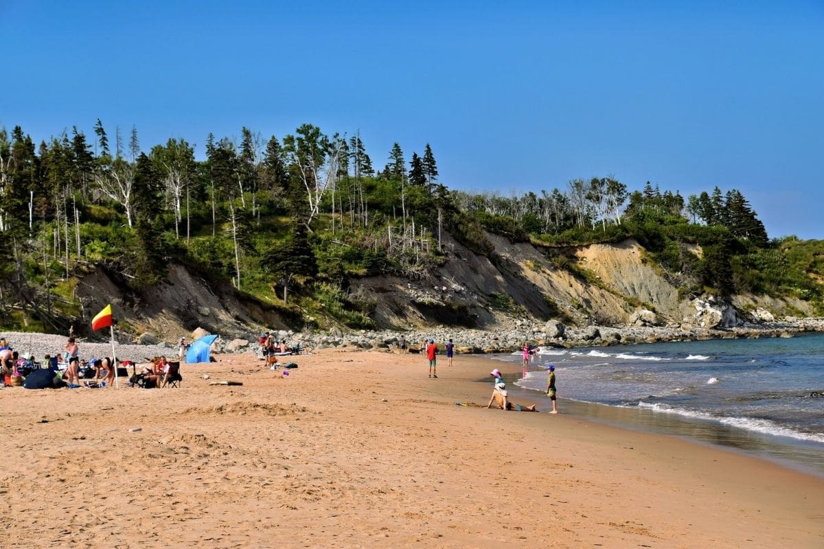
Ingonish Beach gives us an unusual opportunity to experience two different bodies of water almost side by side.
The ocean beach faces the Atlantic, while nearby Freshwater Lake lies just behind the barrier separating it from the sea. Families can walk the shoreline, enjoy the beach or explore nearby trails depending on the weather and everyone's energy.
The contrast is fascinating: on one side we have the restless Atlantic; on the other, a much calmer freshwater lake beneath the surrounding hills.
Swimming conditions and water temperatures vary, of course, and Atlantic water in Nova Scotia isn't famous for tropical warmth. But a beach doesn't need bathtub-temperature water to be worthwhile. Children may be perfectly content investigating rocks, building something in the sand and seeing how long they can keep their feet in the ocean.
Middle Head—A Walk Between Two Bays
For families wanting a manageable hike with a real sense of destination, Middle Head is one of the eastern side's most rewarding options.
The headland extends between Ingonish Bay and North Bay, placing walkers on a narrow finger of land surrounded by ocean views. The approximately 3.8-kilometre loop is substantial enough to feel like an outing without consuming the entire day.
The trail passes through forest before opening onto coastal viewpoints where seabirds may be visible offshore. Depending on the season and a considerable amount of luck, marine wildlife may appear farther out as well.
This is the kind of hike that works particularly well on a family road trip because the scenery keeps changing. We're not walking uphill for an hour simply to reach one viewpoint; the journey itself remains interesting.
Family Travel Insight
Cape Breton Highlands National Park contains trails ranging from short walks to much more demanding hikes, so choose according to the family rather than somebody else's list of “must-do” trails.
Middle Head may be ideal for one family, while another would be happier with a shorter walk and more beach time. Both families are experiencing Cape Breton properly.
Cape Smokey — The Road Begins to Climb
North of Ingonish, the Cabot Trail starts revealing why driving this route feels so different from an ordinary coastal highway.
At Cape Smokey, the road climbs steeply above the Atlantic, with forested slopes descending toward the ocean below.
The name has nothing to do with forest fires. Early mariners reportedly used it because mist and fog frequently gathered around the headland, giving the cliffs a smoky appearance when seen from offshore.
That same fog remains part of the experience today. A brilliant blue Atlantic can disappear surprisingly quickly behind a bank of cloud, only to reappear later as conditions change.
Rather than ruining the landscape, the weather often becomes part of it.
Driving Tip
Mountain grades, curves, wildlife and rapidly changing weather all deserve attention on the Cabot Trail. This isn't a road for trying to admire every view while driving.
Use designated lookoffs and let the driver enjoy the scenery after the vehicle is safely stopped. That sounds obvious, but on a road this beautiful it's worth saying.
Cape Breton Highlands National Park — Protecting More Than Scenery
The Cabot Trail now carries us deeper into Cape Breton Highlands National Park, established in 1936 as the first national park in Atlantic Canada.
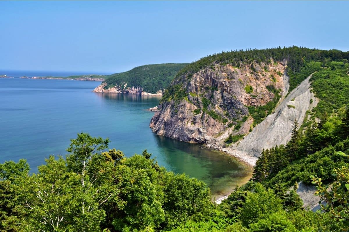
The park protects almost 950 square kilometres of northern Cape Breton, encompassing highlands, river valleys, forests and coastline. Its elevated plateau forms part of the northern Appalachian mountain system, connecting this landscape geologically with mountains stretching far beyond Nova Scotia.
But the park's story didn't begin in 1936.
These lands form part of Unama'ki, within the traditional territory of the Mi'kmaq, whose relationship with this landscape reaches back thousands of years. Today, Parks Canada and the Mi'kmaq of Nova Scotia work together through cooperative management arrangements involving Cape Breton Highlands National Park.
That's an important distinction for families. National parks don't create wilderness; they establish modern systems for protecting landscapes that already have natural and human histories.
A Forest Where North and South Meet
One reason the Highlands support such interesting wildlife is the variety of habitats packed into a relatively small area.
Lower elevations contain Acadian forest, where species associated with both northern and more temperate forests can grow. At higher elevations, conditions become harsher and the landscape shifts toward boreal forest and exposed highland environments.
Families may not notice the precise moment one ecological zone becomes another, but we can see the effect as we drive: the forest changes as we climb, along with the weather and the animals capable of living there.
Among the animals families most hope to see is the moose.
Moose in the Highlands
Among the animals families most hope to see in Cape Breton Highlands National Park is the moose.
Cape Breton's current moose population has a complicated history. Moose native to the island declined dramatically, and animals from Alberta were introduced to Cape Breton in the late 1940s. Their descendants became established across the Highlands.
Seeing one beside the road can be extraordinary, but it can also be dangerous. Adult moose are enormous animals, and collisions can be extremely serious. They may appear near roads particularly around dawn and dusk, so drivers should reduce speed, watch the roadsides and never stop unsafely because someone has spotted wildlife.
Wildlife Tip
If we encounter a moose, keep a generous distance and never approach it for a photograph. The same principle applies to bears and every other wild animal in the park.
A close photograph isn't worth turning a wonderful wildlife sighting into a dangerous encounter.
Neil's Harbour — A Fishing Village Beneath the Lighthouse
After the mountain scenery of the eastern Highlands, Neil's Harbour provides another welcome change of pace.
The small community sits along the northeastern coast, where fishing remains part of local life and a lighthouse stands near the harbour entrance. This isn't somewhere we need a long sightseeing schedule, and that's precisely why it works.
Walk near the harbour, watch the boats and enjoy the feeling of being in a community rather than at a major attraction. Depending on the season, this can also be a good place to stop for something to eat before continuing into the more remote northern reaches of Cape Breton.
The farther we travel, the more the road begins to feel removed from the busier world we left behind in Baddeck.
A Taste of Cape Breton — Seafood With a Sense of Place
This is also a good point to talk about Cape Breton's food rather than repeatedly interrupting the journey with restaurant recommendations.
Coastal communities have long depended upon the sea, and seafood remains an important part of the island's food culture. Depending on season and restaurant menus, families may encounter lobster, crab, mussels, scallops, haddock and other Atlantic catches.
We don't need to spend the trip searching for the restaurant somebody online declared to have Cape Breton's “best” seafood. A meal overlooking a working harbour, where boats are returning from the same waters supplying local kitchens, already gives the experience meaning.
Cape Breton food isn't exclusively seafood either. Acadian dishes, Scottish-influenced traditions and familiar Canadian favourites all form part of the island's broader culinary story, which we'll encounter again when we reach Chéticamp.
The Northern Highlands — Where the Cabot Trail Feels Wildest
Beyond Neil's Harbour and the northeastern communities, the Cabot Trail turns through the northern part of Cape Breton.
This is one of the least developed stretches of the journey. Forests extend across the Highlands, river valleys cut through the plateau and the road repeatedly climbs and descends as it works its way around the island.
Rather than filling this section with another catalogue of scenic overlooks, leave room for the landscape itself. Stop when a lookoff genuinely catches the family's attention, take a short walk if everyone wants one and, if weather closes in and hides the mountains, continue carefully to see what the next valley brings.
The Cabot Trail doesn't need perfect sunshine to be memorable. In some ways, cloud and mist make the Highlands feel even more remote.
One of Those Moments...
Perhaps we've stopped somewhere north of Neil's Harbour after the road has been climbing for some time.
Behind us are the beaches and communities of the eastern coast. Ahead, the highway curves into forest and disappears between the hills, while far below the ocean stretches toward the horizon.
What matters isn't simply that the view is beautiful. It's how far the day has carried us. This morning we were beside a beach in Ingonish; since then we've walked a headland, climbed Cape Smokey, travelled through changing forests and watched for moose along the roadside.
Now the northern Highlands feel genuinely remote, even though the road beneath our feet continues connecting one community with the next.
Soon it will carry us toward Cape Breton's western side, where the Gulf of St. Lawrence replaces the open Atlantic, Pleasant Bay brings us into whale country and one of the Cabot Trail's most famous walks waits high above the coast: the Skyline Trail.
Pleasant Bay — Whale Country on the Gulf of St. Lawrence
As the Cabot Trail begins descending toward Cape Breton's western side, Pleasant Bay appears between the Highlands and the Gulf of St. Lawrence.
The community is small, but its location makes it one of the most interesting stops on the route. Fishing has long been part of life here, and during the warmer months Pleasant Bay is also one of Cape Breton's principal departure points for whale-watching excursions.
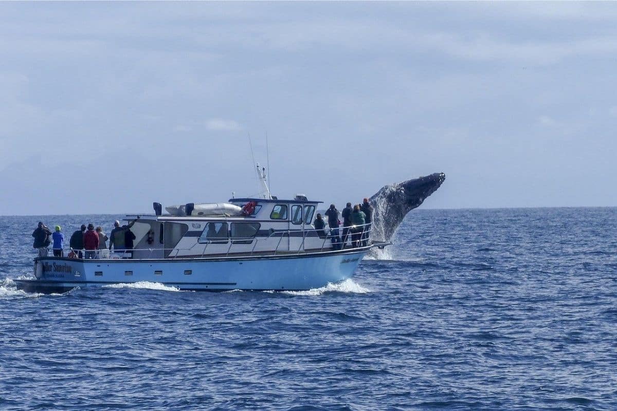
After watching the ocean from cliffs and lookoffs, this is our opportunity to get out onto it.
Whale Watching—Meeting Cape Breton's Offshore Neighbours
Several whale species can be encountered in the waters around Cape Breton, with sightings varying by season and conditions. Pilot whales are particularly associated with the area, while humpback, fin and minke whales may also be seen. Dolphins, seals and seabirds can add to the experience.
No responsible operator can guarantee exactly what we'll encounter, and that's one of the reasons whale watching remains exciting.
The first sight may be nothing more than a dark shape breaking the surface in the distance. Then a dorsal fin appears, someone points from the other side of the boat and suddenly everyone is searching the water.
Children who were talking continuously ten minutes earlier become remarkably observant.
Family Travel Insight
Boat conditions on the Gulf of St. Lawrence can vary considerably, even when the weather looks pleasant from shore.
Families prone to motion sickness should prepare before departure rather than after the boat begins moving, and bring layers because temperatures on the water can feel much cooler than they do in the harbour.
Most importantly, choose an established operator that follows responsible wildlife-viewing practices and keeps an appropriate distance from whales. The goal is to observe them, not chase them.
The Whale Interpretive Centre
Families interested in marine life can also visit the Whale Interpretive Centre in Pleasant Bay.
Its exhibits explore the whales found around Cape Breton and help visitors understand their biology, behaviour and relationship with the marine environment. For children, learning about the animals before or after a boat trip can transform a fleeting sighting into something much more meaningful.
Even if rough weather cancels a whale-watching excursion, the centre gives Pleasant Bay another reason to stop—which is useful on a road trip where nature occasionally changes our plans.
The Western Coast — The Cabot Trail's Famous Climb
South of Pleasant Bay, the road begins one of the most memorable sections of the entire Cabot Trail.
The highway climbs steeply through the Highlands while the Gulf of St. Lawrence opens below. Forested slopes descend toward rocky coves, and the road seems to cling to the mountainside as it twists between highland plateau and sea.
This is the scenery that appears in countless photographs of Cape Breton, but by now it means more than it would have on the first morning.
We've travelled through the communities on the other side of those mountains, learned something about the cultures that shaped the island, walked beside the Atlantic and seen how fishing communities continue to depend on the surrounding waters.
Understanding something about the place makes the spectacular landscape even better.
Skyline Trail — Walking Above the Gulf
The Skyline Trail is one of Cape Breton Highlands National Park's best-known walks, and for good reason.
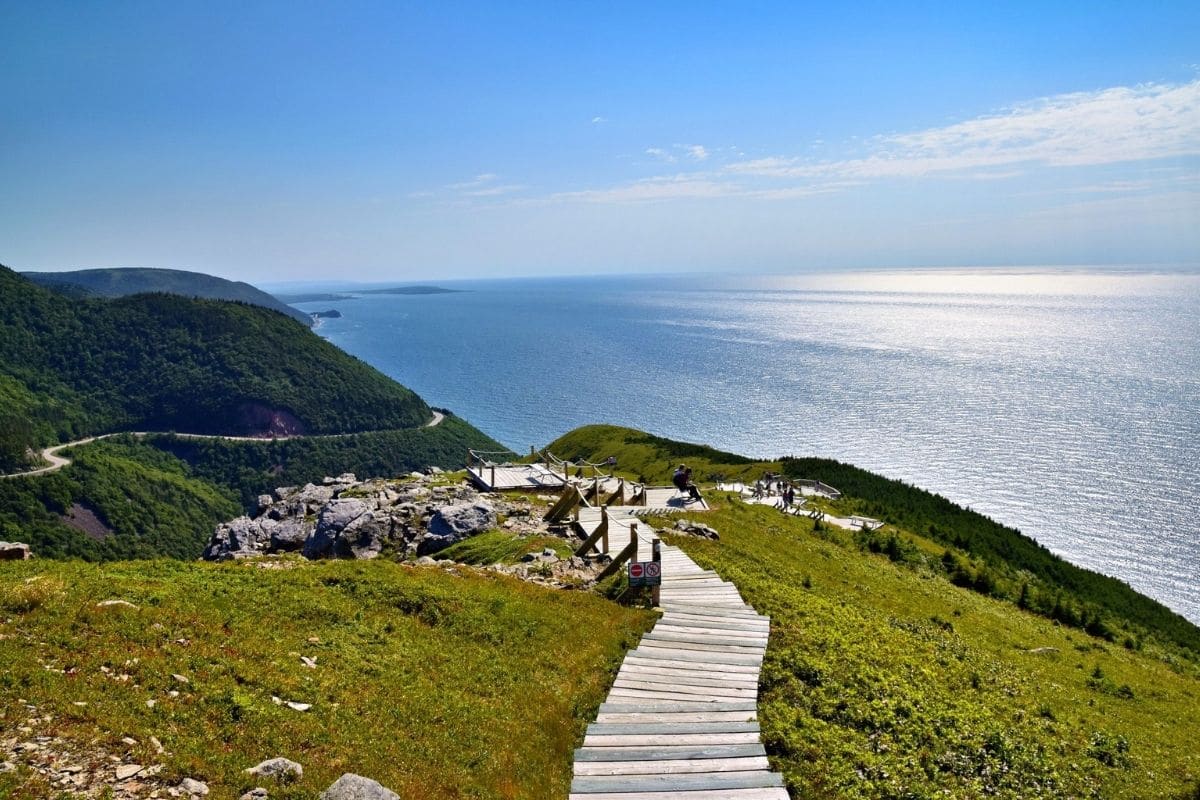
The trail follows the highland plateau before reaching a headland above the Gulf of St. Lawrence, where the Cabot Trail can be seen winding along the mountainside far below.
Parks Canada lists two options: an approximately 6.5-kilometre return route or a longer 8.2-kilometre loop, with the shorter option likely to suit many families. The terrain is relatively gentle compared with many mountain hikes, but the distance still deserves respect, particularly with younger children.
This isn't a five-minute walk to a viewpoint, so allow enough time to enjoy it rather than squeezing it between other major stops.
A Landscape Under Pressure
The Skyline Trail also reveals an ecological story that casual visitors might otherwise miss.
Large numbers of moose browsing young trees have affected forest regeneration in parts of the Highlands. Parks Canada has undertaken restoration work in the Skyline area to better understand and restore boreal forest ecosystems.
That gives families another opportunity to see that national parks aren't landscapes simply left alone behind a boundary. Protecting ecosystems can require research, difficult decisions and active management.
Nature Note
Stay on designated trails and boardwalks where provided.
Highland vegetation can be much more fragile than it appears, and thousands of visitors taking “just one step” beyond a trail can collectively cause significant damage.
The photograph isn't worth it.
Important 2026 Skyline Trail Change
Families visiting in 2026 need to know about an important new planning requirement.
Parks Canada has introduced paid parking reservations for the Skyline Trail parking lot from June 26 through October 25, 2026. A parking reservation does not replace the national park entry requirement, so families should check current Parks Canada information before travelling in case procedures or availability change.
This is exactly the sort of practical detail worth checking before leaving home. Discovering a reservation requirement while pulling into a popular trailhead isn't how anyone wants to begin a family hike.
French Mountain — The View From the Road
Families who don't want to hike the Skyline Trail can still experience extraordinary western-coast scenery from the Cabot Trail itself.
The road around French Mountain provides elevated views toward the Gulf and surrounding Highlands, with designated lookoffs allowing us to stop safely.
That's an important alternative. Not every family can—or wants to—walk six or eight kilometres, and a great road trip should provide memorable experiences for different ages and abilities rather than implying that the best views must always be earned by hiking.
Sometimes the view beside the car is magnificent enough.
Chéticamp — Cape Breton's Acadian Heart
Descending from the Highlands eventually brings us to Chéticamp, and the character of the journey changes again.
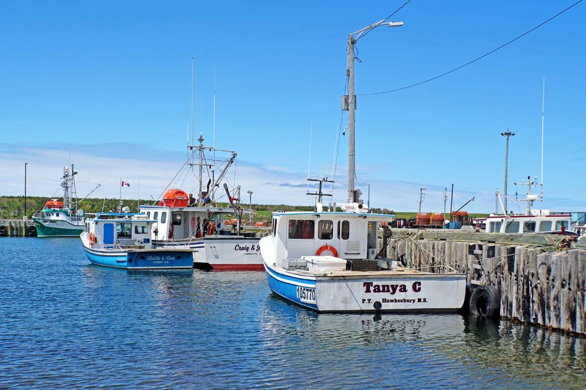
French-speaking Acadian families established themselves in this part of Cape Breton more than two centuries ago, building communities around fishing, farming, religion and family life. Today, French remains part of the area's cultural identity, while Acadian music, food and traditional crafts continue to distinguish Chéticamp from the Gaelic communities we encountered earlier.
That's one of the most interesting things about the Cabot Trail: we've driven less than 300 kilometres, yet the cultural landscape has changed repeatedly.
Who Are the Acadians?
The Acadian story reaches back to French settlers who established communities in Atlantic Canada beginning in the seventeenth century.
During the Great Deportation, beginning in 1755, British authorities forcibly removed thousands of Acadians from their homes. Families were separated and communities dispersed to different parts of the world.
Some Acadians eventually returned to the Maritime region and established new communities, including those on Cape Breton Island. Their descendants preserved elements of their language, music, food and identity despite that upheaval.
Understanding even this much changes the way we experience Chéticamp. French signs and Acadian traditions aren't decorative touches created for visitors; they're part of a culture that survived displacement and rebuilt itself.
Les Trois Pignons — Stories Told in Wool
One particularly interesting Chéticamp tradition is rug hooking.
What began partly as a practical domestic craft developed into an important artistic and economic tradition in the community. Chéticamp hooked rugs became known far beyond Cape Breton for their craftsmanship and distinctive designs.
At Les Trois Pignons, families can learn about this heritage and see examples of hooked rugs and local cultural exhibits.
It's a wonderfully different stop after days of mountains and wildlife. Children can see how everyday materials and skills become art, while adults gain another glimpse into how Cape Breton communities supported themselves and preserved traditions.
Acadian Food — Another Story on the Plate
Chéticamp is also a good place to look beyond the seafood we've already encountered.
Traditional Acadian cooking developed from available ingredients and the need to feed families economically. Potato-based dishes, meat pies and other regional recipes remain part of the broader culinary heritage, although what appears on restaurant menus varies.
Rather than telling families they must find one particular dish, encourage a little curiosity. Ask what's local and what the restaurant is known for.
Food becomes considerably more interesting when there's a story attached to it.
Local Tip
If you hear French being spoken around Chéticamp, don't be surprised.
Cape Breton isn't culturally uniform, and that's one of its strengths. Within a relatively small island, Mi'kmaw, Acadian, Gaelic and other communities have contributed distinct traditions to the place we experience today.
One of Those Moments...
Late in the afternoon, perhaps we're somewhere outside Chéticamp looking back toward the Highlands.
The Cabot Trail is visible in places along the distant slopes, tracing a route through mountains we've just crossed. The Gulf of St. Lawrence stretches beside us, and fishing boats are returning toward shore as daylight begins to soften.
This morning we were searching for whales in Pleasant Bay. Later we walked—or perhaps simply looked—across the great western coastline from high above the water. Now we're in an Acadian community learning why French language, hooked rugs and family traditions remain important here.
The scenery hasn't disappeared from the story; it simply isn't the whole story anymore. That's what has made this journey around Cape Breton so much richer.
Completing the Cabot Trail
Leaving Chéticamp, the Cabot Trail gradually carries us away from the dramatic western Highlands and back toward the gentler landscapes surrounding Bras d'Or Lake.
The road is still beautiful, but by now we're no longer measuring the journey by viewpoints. We've travelled through Gaelic and Acadian communities, walked above the Gulf of St. Lawrence, explored Atlantic beaches, watched for moose in the Highlands and perhaps seen whales surfacing offshore.
What began as a famous scenic drive has become something considerably more interesting: an introduction to Cape Breton itself.
Before completing the loop, however, there's one experience worth making room for if the opportunity arises.
A Cape Breton Ceilidh — When the Island Starts Playing
We encountered Cape Breton's Gaelic traditions near St. Ann's, but understanding the music and experiencing it among local people are two very different things.
Across Cape Breton, community halls, pubs and cultural venues host live music and ceilidhs at various times of year. A traditional gathering may involve fiddle and piano music, Gaelic songs, stories, step dancing and plenty of informal conversation.
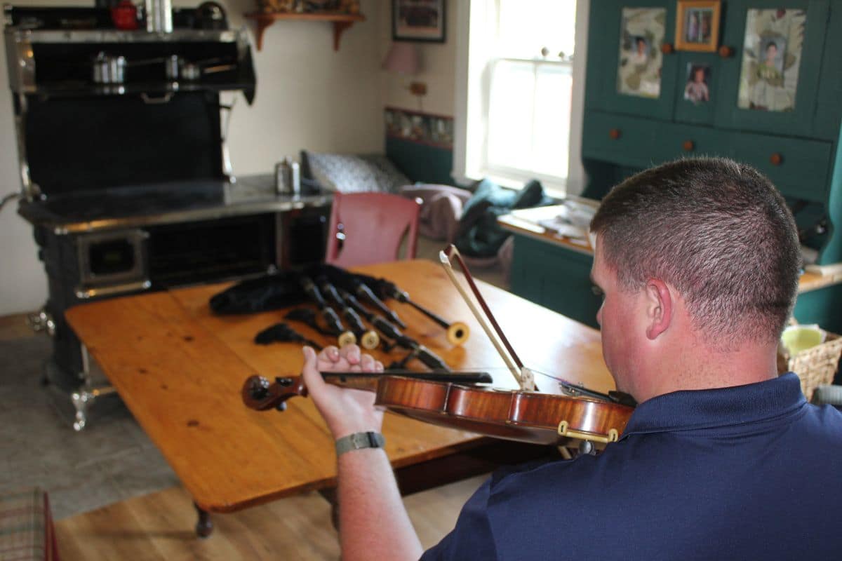
The atmosphere is part of the appeal. This isn't necessarily a polished performance where everyone sits silently waiting for the next number; the music grew from a social tradition in which people gathered, shared stories and entertained one another.
That makes a ceilidh particularly suitable for families. Children don't need to understand the history of every tune to recognise when a room is enjoying itself.
Watch the fiddler's bow begin to move faster, listen to the piano driving the rhythm and notice the foot tapping spreading through the audience. Before long, the distinction between performer and listener can feel surprisingly small.
Family Travel Insight
Check local event calendars while planning the trip rather than assuming a ceilidh will occur on the evening we're available.
Cape Breton's music scene is active, but performances vary by community, venue and season. If a family-friendly event happens to fit the route, I'd choose it over adding another scenic viewpoint.
We've already seen plenty of beautiful mountains. A night of Cape Breton music gives us something we'll hear in our memories instead.
When Should Families Drive the Cabot Trail?
The main road-trip season generally runs from late spring into autumn, but each period creates a different experience.
Summer provides long daylight hours and generally the widest choice of visitor services, boat excursions and outdoor activities. It's also a popular time to combine the Cabot Trail with beaches, hiking and whale watching.
Autumn transforms the Highlands with brilliant foliage, particularly around the period associated with Cape Breton's celebrated Celtic Colours International Festival. The combination of autumn scenery and live music can be extraordinary, but accommodation and popular activities may require much earlier planning.
Spring is quieter, although weather and seasonal opening dates can affect what's available.
Rather than choosing a month solely because somebody declared it the “best,” decide what matters most to the family. Whale watching, hiking, fall colour, live music and quieter roads don't necessarily reach their ideal conditions at exactly the same time.
How Many Nights Should We Stay?
For a comfortable first journey, I'd allow at least two nights around the Cabot Trail, with three being even better.
One sensible approach might include time around Baddeck, followed by an overnight on or near the eastern side around Ingonish, and another around Pleasant Bay or Chéticamp before completing the loop.
Families with three or four days gain considerably more flexibility. A whale trip can be moved if weather interferes, a longer hike doesn't have to compete with a driving schedule and an unexpected beach or community event can become part of the vacation rather than a reason we're running late.
The Cabot Trail is short enough to be manageable but interesting enough that rushing it makes little sense.
What Should We Plan Ahead?
Accommodation is the first priority, particularly during summer and the autumn foliage period. Cape Breton's smaller communities don't have an unlimited supply of family rooms, and waiting until the last minute can leave travellers staying much farther from their intended route.
Whale-watching excursions and popular cultural events are also worth investigating ahead of time.
Families visiting the Skyline Trail between June 26 and October 25, 2026 should remember the new paid parking-reservation requirement we discussed earlier and check Parks Canada's current information before travelling. Park entry requirements, trail conditions, road conditions and seasonal services can also change, so official national-park information is worth checking shortly before departure.
A little preparation gives us more freedom once we're actually on the road.
Wildlife Deserves Space
Cape Breton offers wonderful opportunities to encounter wildlife, but those experiences are best when the animals remain wild.
Moose may appear beside roads or trails, black bears inhabit the park and marine mammals live in the surrounding waters. None needs to be approached for a photograph.
Keep food secure, follow park guidance, maintain appropriate distances and give animals room to move away. This is particularly important when children are watching.
One of the most valuable lessons a national park can teach is that seeing a wild animal doesn't give us ownership of the moment. We're visitors in its habitat, and respecting that boundary is part of the experience.
Back to Baddeck
Eventually the road returns us toward Bras d'Or Lake and Baddeck, and there's something satisfying about finishing where we began.
At the start of the journey, we looked across the lake knowing that somewhere beyond those hills lay the Cabot Trail. We had photographs in our minds—mountains, ocean and a winding road—but little sense of how all the pieces fitted together.
Now those places have names and stories.
Ingonish isn't simply a beach beneath a mountain; it's where we first entered the eastern Highlands and watched the Atlantic meet Cape Breton's forested coast. Pleasant Bay isn't simply a dot on the map; it's where we searched the Gulf for whales.
Chéticamp carries the history and living culture of Cape Breton's Acadian community, while St. Ann's helped us understand why Gaelic music remains such an important part of the island.
And the mountains between them are no longer anonymous scenery.
We've travelled through them.
One of Those Moments...
Perhaps on the final evening we find somewhere quiet beside Bras d'Or Lake.
The water is calm and the mountains across the lake are beginning to darken as daylight fades. A boat moves slowly toward shore, leaving a narrow wake behind it, and conversation turns naturally to the trip.
Someone remembers the whale. Someone else chooses the ice cream, the beach or the moose that appeared beside the road. Another family member insists the best part was the fiddle music, while somebody quietly scrolls through far too many photographs of mountains.
Nobody chooses exactly the same moment, and that's usually the sign of a good road trip.
It gave everyone something of their own to remember.
Why the Cabot Trail Stays With You
The Cabot Trail deserves its reputation as one of North America's great scenic drives, but describing it only that way sells Cape Breton short.
The mountains and ocean provide the spectacular setting. What gives the journey its character are the communities, histories and traditions found between them.
We began beside Bras d'Or Lake with the remarkable story of Alexander and Mabel Bell, discovered Cape Breton's Gaelic heritage around St. Ann's and entered the national park beside the Atlantic at Ingonish. The northern Highlands brought forests and wildlife before Pleasant Bay took us onto the Gulf in search of whales. Then the western road carried us above the sea toward Chéticamp and the story of Cape Breton's Acadian community.
All of this unfolds within Unama'ki, where Mi'kmaw connections to the land and waters reach back thousands of years and continue today.
That's why the Cabot Trail becomes more than a beautiful road. Families may arrive because they've seen photographs of a highway winding between mountains and sea, but they leave understanding that the road connects much more than viewpoints.
It connects landscapes, communities, cultures and generations—and gives us the privilege of experiencing a little of each along the way.
Chapter Eight
The American Southwest
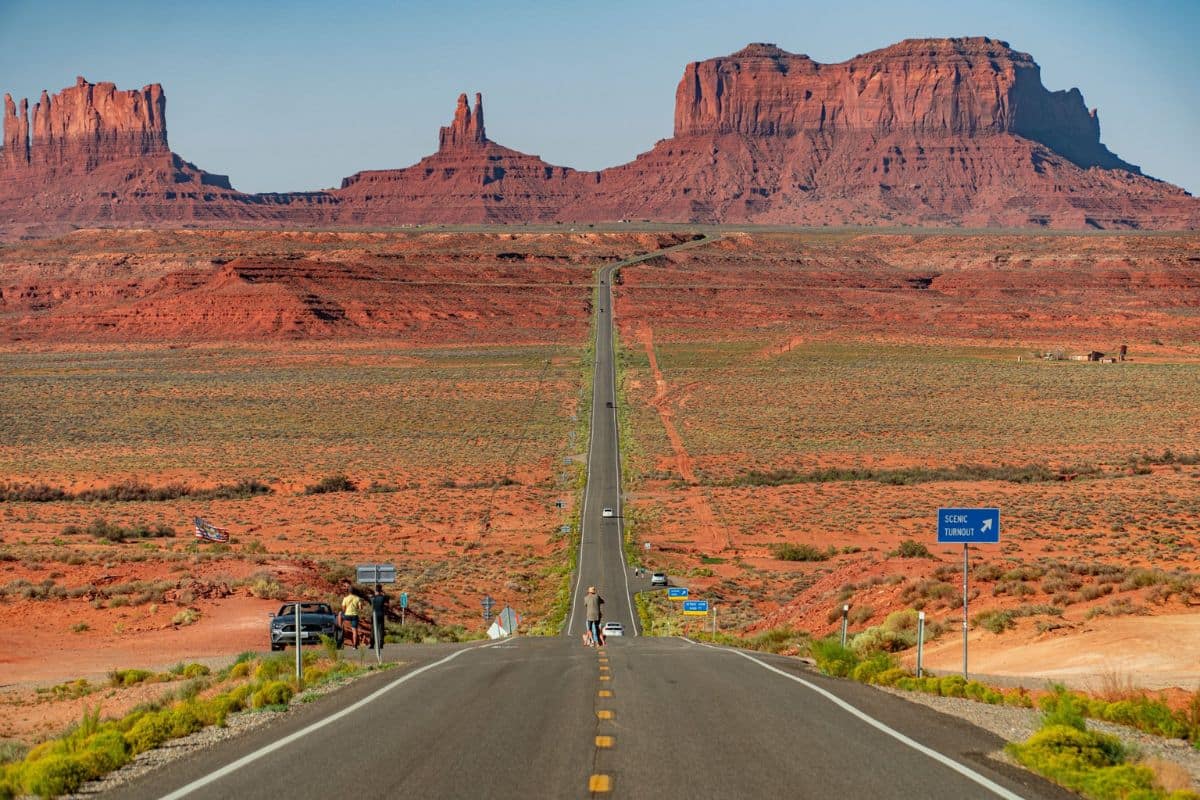
Grand Canyon, Red-Rock Country & the Open Road
Grand Canyon South Rim → Monument Valley → Sedona → Flagstaff → Historic Route 66
Few regions in North America change character as dramatically from one day's drive to the next as the American Southwest.
One morning we may be standing beside a canyon so vast that the opposite rim seems impossibly distant. The following day, enormous sandstone buttes rise from the desert floor in Monument Valley. Farther south, Sedona replaces the open desert with red-rock cliffs, pine and juniper forests and shaded stretches of Oak Creek.
Then there's Route 66, where the landscape shares the journey with old railroad towns, roadside diners, neon signs and reminders of the era when crossing America by automobile became an adventure in its own right.
This isn't simply a road trip through beautiful scenery. It's a journey through geology, Indigenous homelands, American history and some wonderfully eccentric roadside culture. And after dark, the Southwest has one final surprise: some of its greatest scenery is overhead.
How Long Should Families Allow?
For the route we're exploring in this chapter, I'd allow approximately 7 to 10 days.
That gives families enough time to experience the Grand Canyon South Rim, Monument Valley, Sedona and a worthwhile section of historic Route 66 without turning every day into a race between hotel check-ins. With more time, the journey can easily expand; with less, I'd remove a destination rather than compress everything into four or five exhausting days.
Distances in the Southwest can be deceptive. A road that appears relatively short on a map may cross remote country with limited services, while scenic stops have a habit of consuming far more time than expected.
That's particularly true when the family reaches the Grand Canyon. Few people walk to the rim for the first time, look for thirty seconds and announce that they're ready to leave.
Grand Canyon National Park
The First View Is Almost Impossible to Prepare For
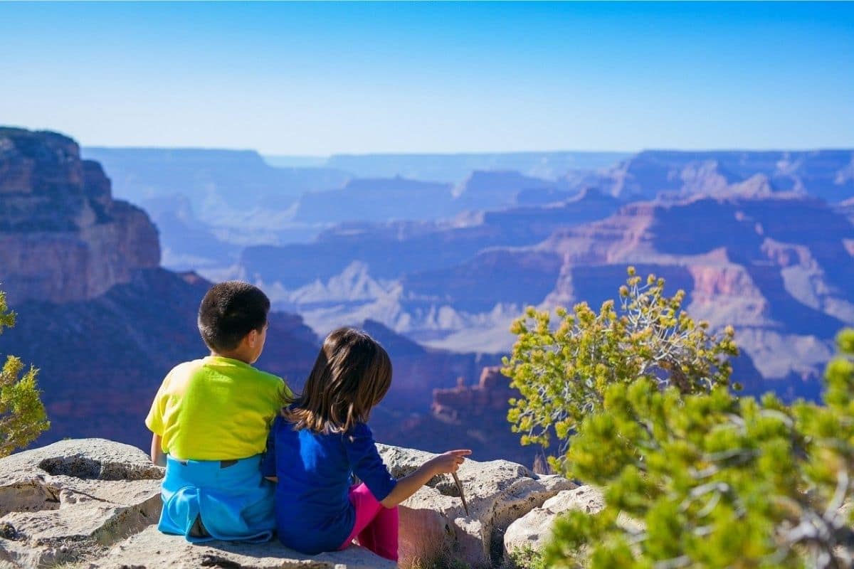
We've all seen photographs of the Grand Canyon, but that doesn't seem to help very much.
Walk toward the South Rim and the landscape suddenly falls away, revealing an immense network of cliffs, ridges and side canyons stretching toward the horizon. The scale is difficult for the brain to process. What appears to be a small ridge may be miles away, while shadows hide entire canyons within the larger canyon and layers of rock descend toward the Colorado River far below.
Children often become unusually quiet.
Adults do too.
The Grand Canyon is one of those rare places where the first few minutes don't require an explanation. Just look.
Then we'll start discovering what we're actually seeing.
A Story Written in Rock
The canyon exposes an extraordinary record of Earth's geological history.
Layer after layer of rock represents environments that existed here at very different times, including ancient seas, coastal plains, deserts and much older rocks formed deep within the Earth. The Colorado River and its tributaries helped carve the landscape as the Colorado Plateau was uplifted, while erosion, weathering and gravity continue reshaping the canyon today.
This is an important distinction for children. The river didn't simply arrive one day and cut a giant trench through otherwise unchanging rock; the Grand Canyon developed through a complicated combination of geological forces operating over immense periods of time.
Did You Know?
Some rocks exposed deep within the Grand Canyon are approaching two billion years old.
Standing at the rim therefore allows us to look not merely across an enormous landscape, but into an extraordinary portion of Earth's history.
A family vacation has unexpectedly become a geology lesson—fortunately, this classroom has a considerably better view.
The Grand Canyon Is Also a Human Landscape
It's easy to describe the Grand Canyon as untouched wilderness, but doing so leaves out an essential part of its story.
Indigenous peoples have lived in, travelled through and maintained relationships with the canyon and surrounding lands for thousands of years. Numerous Tribal Nations maintain deep cultural connections to this landscape today, including the Havasupai, Hopi, Hualapai, Navajo, Southern Paiute and Zuni, among others.
That matters because we're not looking at a place whose history began when tourists arrived. We're visiting a cultural landscape as well as a geological wonder.
A stop at the park's visitor facilities and interpretive sites can help families understand both stories.
Start at Mather Point — Then Keep Going
For many first-time visitors, Mather Point provides the first major view of the canyon.
It's close to the South Rim Visitor Center and understandably popular. Take the photograph and enjoy the view, but don't assume we've now “seen the Grand Canyon.”
One of the best ways for families to appreciate the South Rim is to experience several viewpoints because the canyon changes enormously with perspective and light. Fortunately, we don't have to keep getting in and out of the car to do it.
Let the Shuttle Bus Do Some of the Driving
The Grand Canyon's free South Rim shuttle system is one of the most useful things families can know about before arriving.
During summer 2026, shuttle routes connect the Visitor Center with locations including Mather Point, Yavapai Geology Museum, Yaki Point, South Kaibab Trailhead, Grand Canyon Village and viewpoints along Hermit Road. The system reduces traffic and allows families to explore without repeatedly searching for parking.
This is especially useful on a busy family vacation. Park once, let somebody else drive for a while, get off where something interests us and catch another shuttle when we're ready to continue.
2026 Planning Note
Access changes seasonally. In 2026, for example, Hermit Road is closed to private vehicles from March 1 through November 30, with shuttle buses and commercial tours providing motorized access during that period.
Because schedules and access arrangements can change, we'll add the appropriate official National Park Service link during our later linking pass rather than keeping the temporary ChatGPT-generated link currently in the draft.
Yavapai Geology Museum — Making Sense of What We're Seeing
One particularly worthwhile family stop is the Yavapai Geology Museum.
Its location directly on the rim makes it easy to connect the exhibits with the enormous landscape outside. Instead of simply telling children that the canyon is “really old,” we can begin identifying rock layers and understanding how geologists interpret what happened here.
This is the kind of museum that works particularly well on a road trip because the subject isn't somewhere else behind glass.
Turn around and it's right outside the window.
The Rim Trail — A Walk Without Descending Into the Canyon
Families don't have to undertake a strenuous canyon hike to experience the Grand Canyon on foot.
Sections of the Rim Trail provide a much more flexible alternative, following the South Rim between numerous viewpoints and developed areas. Choose a manageable section, walk for as long as everyone is enjoying it and use the shuttle system where appropriate to connect different parts of the rim.
This is a far better family strategy than deciding everyone must descend into the canyon simply because serious hikers do.
The Grand Canyon doesn't award extra points for exhaustion.
Family Travel Insight
Never underestimate the difficulty of hiking down into the Grand Canyon.
Going down feels deceptively easy because gravity is helping. The demanding part comes later, when everyone has to climb back to the rim—often in hotter conditions.
For most families visiting for the first time, exploring the rim, taking shorter walks and enjoying several viewpoints provides an outstanding experience without turning the day into an endurance test.
Desert Heat Is Different
The Southwest demands more respect for heat and dehydration than many family road trips.
Conditions at the South Rim can be comfortable while temperatures farther down inside the canyon are considerably hotter. Dry air also allows perspiration to evaporate quickly, meaning travellers may not realise how much fluid they're losing.
Carry water, use sun protection and plan outdoor activity according to current conditions rather than an itinerary written months earlier. Children, older family members and anyone unaccustomed to desert heat deserve particular attention.
There's no prize for completing a planned hike during dangerous conditions. Sometimes the smartest family travel decision is changing the plan.
Sunrise or Sunset?
Both can be extraordinary.
At sunrise, the canyon gradually emerges from darkness as sunlight begins illuminating individual cliffs and ridges. Sunset reverses the performance as bright rock colours deepen, distant formations soften and shadows slowly spread through the side canyons.
If we're staying near the South Rim, I'd try to experience at least one. But don't spend the entire time watching through a phone.
Take the photographs you want, then put the camera down for a few minutes. The Grand Canyon has been here for millions of years; we can give it our full attention for five minutes.
One of Those Moments...
Perhaps it's late afternoon and we've found a quieter section of the rim after spending much of the day exploring.
The canyon looks different now than it did this morning. Cliffs that appeared pale at midday have deepened into warmer shades, while shadows reveal valleys and ridges we barely noticed earlier.
Someone begins trying to explain how enormous it is and gives up halfway through the sentence.
That's probably appropriate. Not every landscape improves when we find more words for it.
Sometimes understanding begins by simply standing still long enough to realise how much we don't understand.
Why the Grand Canyon Changes the Journey
The Grand Canyon isn't memorable only because it's enormous. It changes our sense of scale.
Distances become difficult to judge, human structures seem insignificant and geological time suddenly feels less like an abstract number in a textbook. Yet the canyon also reminds us that enormous landscapes contain human stories. People have known, travelled through and cared for these lands for generations beyond anything most visitors can imagine.
That's a useful perspective to carry with us because our next destination makes that relationship between landscape and living culture even more important.
The road now leaves the Grand Canyon and crosses the high desert toward the Arizona–Utah border. Eventually, enormous sandstone forms begin appearing on the horizon.
We're approaching Monument Valley Navajo Tribal Park, and this time understanding whose land we're entering is every bit as important as understanding the rocks.
Monument Valley Navajo Tribal Park
A Landscape Recognised Around the World — and a Living Diné Homeland
Leaving the Grand Canyon behind, the road crosses an increasingly open landscape of high desert, sagebrush and enormous skies.
For a while, the horizon seems almost empty. Then isolated sandstone formations begin appearing in the distance, growing larger as we approach the Arizona–Utah border. Eventually, the unmistakable silhouettes of East and West Mitten Buttes and Merrick Butte rise from the desert floor.
We've probably seen them before. Monument Valley has appeared in films, advertisements, photographs and countless images of the American West, but arriving here is very different from recognising a familiar landscape on a screen.
The first thing families should understand is that Monument Valley isn't a U.S. national park. It is Monument Valley Navajo Tribal Park, within the Navajo Nation, and the landscape is part of the homeland of the Navajo people, who call themselves Diné.
That distinction should shape the way we experience everything that follows.
More Than Spectacular Scenery
The buttes, mesas and desert valleys were shaped by geological processes operating over immense periods of time. Layers of sedimentary rock were uplifted and then gradually weathered and eroded, leaving behind the resistant formations that dominate the landscape today.
Their shapes are extraordinary, but Monument Valley isn't an empty geological museum. Diné families have lived in this region for generations, and the landscape carries cultural, historical and spiritual meaning that can't be understood simply by naming rock formations from a viewpoint.
Visitors are guests here.
That's why one of the best ways to experience Monument Valley is to combine the scenery with an opportunity to learn from the people whose homeland we're travelling through.
Tribal Guides — Seeing More Than the View
Navajo-guided tours provide access to perspectives—and in some cases areas—that independent visitors won't experience on their own.
Depending on the tour and operator, families may travel deeper into the backcountry, encounter additional rock formations and learn about Diné history, traditions and relationships with the landscape from local guides.
That cultural context can completely change the experience. Without it, we might leave remembering three beautiful buttes; with it, children begin understanding that landscapes can be homes, cultural places and sources of identity, not merely attractions people travel to photograph.
Family Travel Insight
Choose an authorised Navajo tour operator and consider the type and length of tour rather than automatically booking the longest excursion available.
A shorter tour with an engaging guide may be ideal for younger children, while families with older children may enjoy spending considerably longer exploring the backcountry.
Either way, questions are part of the experience. Curiosity accompanied by respect is one of the best things we can bring with us.
The 17-Mile Valley Drive
Families who want to explore independently can experience Monument Valley's famous 17-mile Valley Drive, a dirt road winding among many of the park's best-known formations.
This isn't an ordinary paved scenic loop. The Navajo Nation describes the road as rough terrain and places restrictions on some types of vehicles. Conditions can also be affected by weather, so families should check the current Navajo Parks & Recreation information before assuming their vehicle is suitable.
This is especially important with a rental car. A road appearing on a tourist map doesn't automatically mean every rental agreement—or every vehicle—is appropriate for it.
If there's any doubt, a guided tour can remove the driving concern while adding the cultural interpretation we'd want anyway.
Don't worry about the existing Navajo Parks link when replacing this section. We'll add the correct official link during the dedicated link pass later.
The Mittens — Monument Valley's Famous Welcome
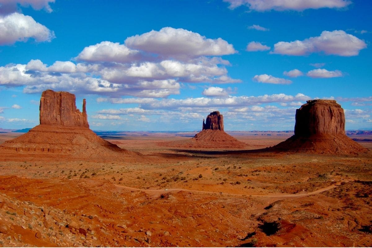
Among the first formations families recognise are the East and West Mitten Buttes, named for silhouettes that resemble enormous hands rising from the desert. Nearby Merrick Butte completes one of Monument Valley's classic panoramas.
The formations appear massive from the visitor area, but drive farther into the valley and our sense of scale changes again as cliffs and buttes begin towering above the road.
That's something photographs rarely communicate successfully. The desert floor is vast, and formations that appear close together may be separated by considerable distances.
The Southwest keeps playing tricks with our sense of scale.
John Ford Point — When Landscape Became Cinema
Another famous stop along the valley route is John Ford Point.
The viewpoint is named for film director John Ford, whose Westerns helped turn Monument Valley into one of cinema's defining images of the American West.
Films made here introduced audiences around the world to this landscape, but they also helped create a romanticised version of the West that often simplified or distorted Indigenous histories. That's worth discussing with older children because movies can powerfully shape the way millions of people imagine a real place.
Sometimes films preserve a landscape in our cultural memory; sometimes they also leave important parts of its story outside the frame.
Visiting Monument Valley gives us an opportunity to look beyond that frame and recognise the living Diné homeland behind the familiar movie scenery.
Life in the High Desert
At first glance, this landscape can appear almost empty.
It isn't.
Plants capable of surviving limited rainfall grow across the desert, while birds, reptiles and mammals have adapted to extreme temperature changes and scarce water. People have also developed knowledge and traditions that allowed communities to live in this demanding environment over generations.
Instead of describing the desert as barren, encourage children to look more closely. What plants are growing? Where might animals find shade? How would families obtain water here, and why are some areas greener than others?
Suddenly the apparently “empty” desert becomes an enormous exercise in adaptation.
Did You Know?
High-desert temperatures can change dramatically between day and night.
Strong sunshine and dry air may create hot daytime conditions, while temperatures can fall quickly after sunset, particularly outside the height of summer.
That means our Southwest packing list needs something that initially sounds contradictory: sun protection and an extra layer.
Goulding's and the Story of Tourism
Just outside the tribal park, Goulding's adds another piece to Monument Valley's twentieth-century history.
Harry and Leone “Mike” Goulding established a trading post in the area during the 1920s. During the Great Depression, Harry Goulding travelled to Hollywood with photographs of Monument Valley in an effort to attract film production to the region.
Director John Ford subsequently used Monument Valley as a location, helping make its landscape internationally famous. Today the Goulding's complex includes accommodation and exhibits connected with this history.
It's an interesting stop because it helps explain how a remote Diné landscape became one of the world's most recognisable images of the American West.
Sunrise, Sunset — or Both?
Monument Valley changes dramatically with light.
Early in the morning, low sunlight gradually reaches the buttes while much of the desert remains in shadow. Late in the day, the sandstone deepens into warmer reds and oranges before the formations become dark silhouettes against the evening sky.
If the itinerary allows, staying overnight rather than arriving and leaving in the middle of the day is worthwhile. It also gives families something we haven't properly experienced yet in this chapter: the desert after dark.
We'll return to the Southwest's night skies later, but Monument Valley can provide an unforgettable introduction when clear conditions cooperate.
Photo Tip
The classic view doesn't require us to scramble onto rocks or wander into restricted areas.
Respect signs, barriers, private residences and Navajo Nation rules. A photograph taken from an appropriate location will still look spectacular, and we'll know we behaved as guests rather than treating somebody else's homeland as our personal photography set.
One of Those Moments...
Late in the afternoon, we stop looking for the next viewpoint.
The sun has dropped lower and the Mittens are casting long shadows across the desert. The brilliant midday reds have deepened, and the enormous sky seems to occupy as much of the landscape as the land itself.
Earlier we were discussing geology, films and the extraordinary shapes of the rocks. Now we're simply watching, but the silence means more because we understand something about where we're standing.
This isn't an empty desert preserved for travellers. People live here; generations came before them, and generations will remain after our road trip has moved on.
That knowledge doesn't diminish the beauty of Monument Valley.
It gives the beauty context.
Leaving Monument Valley
When the road eventually carries us south again, the great sandstone formations gradually shrink in the mirrors.
Our next destination is also famous for red rock, but the landscape will change considerably. The open high desert becomes greener as juniper and pine appear more frequently, enormous cliffs begin enclosing the road and water returns to the story in a surprising way.
We're heading toward Sedona.
After the immensity of the Grand Canyon and Monument Valley, Sedona gives families something we need at exactly the right point in the journey: a chance to get out of the car and explore the red-rock landscape on foot.
Sedona
Red Rocks, Creek Canyons & Time to Get Out of the Car
After the vast openness of Monument Valley, the approach to Sedona feels like entering a different Southwest.
The desert becomes greener as juniper and pine appear among the rocks. Towering sandstone formations begin enclosing the road, while deep red cliffs contrast with patches of forest and the brilliant Arizona sky.
Sedona is certainly beautiful enough to enjoy from the car, but that would miss its greatest advantage on this particular journey.
After the Grand Canyon and Monument Valley, we've spent considerable time looking across enormous landscapes. Sedona invites families to step into one.
We can walk beneath red-rock formations, follow trails through juniper country, picnic beside Oak Creek and choose an adventure that suits the family's energy rather than simply moving from one famous viewpoint to another.
Why Are Sedona's Rocks So Red?
Sedona's distinctive colour comes largely from iron minerals within its sandstone. Over immense periods of time, exposure to oxygen contributed to iron oxidation—the same basic chemical process responsible for rust—helping produce the reds and oranges that make the landscape so recognisable.
But Sedona isn't one uniform layer of red rock. Different sedimentary formations preserve evidence of environments that changed repeatedly over geological time, while erosion subsequently carved cliffs, mesas, spires and canyons from those layers.
Children don't need to memorise the geology to appreciate the basic story.
We're walking through rock created from ancient environments and then reshaped into the landscape surrounding us today.
Bell Rock — An Easy Introduction to Red-Rock Country
One of Sedona's most recognisable formations is Bell Rock, south of town near the Village of Oak Creek.
Its broad bell-shaped profile makes it easy for children to identify, and the surrounding trail network allows families to choose how much exploring they actually want to do. The Bell Rock Pathway is particularly useful because we don't have to climb the formation itself to enjoy the scenery.
Families can walk a comfortable portion of the pathway, admire Bell Rock and nearby Courthouse Butte, and simply turn around when everyone has had enough. A family with younger children might spend an hour exploring, while older children may want to continue farther. Someone who has already walked plenty at the Grand Canyon may be perfectly content with a shorter outing.
That flexibility matters because Sedona gives us choices.
Family Travel Insight
Much of Sedona's red-rock country offers limited shade, and exposed trails can become extremely hot.
An easy-looking walk in mild morning temperatures can feel completely different during a summer afternoon. Carry water, use sun protection and choose the time of day according to current conditions.
The trail isn't going anywhere. We can come back when it's cooler.
Cathedral Rock — Famous Doesn't Always Mean Family-Easy
Cathedral Rock is another of Sedona's iconic formations, but this is where a family guide needs to distinguish between a beautiful place and an easy family hike.
The upper route involves steep sections and rock scrambling. That can be exciting for experienced hikers and families with capable older children, but it isn't something I'd casually recommend to every family simply because Cathedral Rock appears on lists of Sedona's “must-do” hikes.
Fortunately, we don't need to reach the top to appreciate it. Surrounding trails and viewpoints allow families to experience the formation without committing to the steepest sections.
That's an important principle throughout this guide: the best family experience isn't automatically the hardest version of an attraction.
Sedona's Free Trailhead Shuttle
Parking has become a significant issue at several popular Sedona trailheads, but families now have a useful alternative.
The city's free Sedona Shuttle Trailhead Routes serve five popular trailheads: Cathedral Rock, Little Horse, Soldier Pass, Dry Creek Vista and Mescal. The regular trailhead service operates Thursday through Sunday, with expanded daily service during some busy periods, and no reservations are required. When the shuttle is operating, parking restrictions apply at some trailheads, including Cathedral Rock and Soldier Pass, so checking the current system before setting out can save considerable frustration.
Instead of circling a packed parking lot while everyone becomes progressively less enthusiastic about hiking, leave the car at the appropriate Park & Ride and let the shuttle handle the difficult part.
We'll add the correct official Sedona Shuttle link during our dedicated link pass rather than carrying the temporary link in the draft.
Oak Creek Canyon — Water Changes the Landscape
North of Sedona, Arizona State Route 89A follows Oak Creek Canyon toward Flagstaff.
This is one of the most enjoyable drives in the area because the environment changes noticeably as the road climbs. Red cliffs rise above the canyon while Oak Creek supports a greener corridor of cottonwoods and other vegetation below. Eventually, the highway twists upward toward the forested country around Flagstaff.
After several days of high desert, simply hearing running water and finding genuine shade can feel surprisingly luxurious.
West Fork — Walking Beside the Creek
One of Oak Creek Canyon's best-known walks is the West Fork Trail, which follows the canyon beside Oak Creek and involves repeated creek crossings as it continues deeper between the cliffs.
Families don't need to complete a long distance to enjoy it. Walking part of the trail provides a very different Sedona experience from the exposed red-rock routes around town, with trees, water and canyon walls creating a cooler and more enclosed environment.
Popular doesn't mean effortless, however. Parking and access can be busy, and creek conditions vary. Check current conditions and decide how far to walk based on the family rather than an arbitrary turnaround point somebody posted online.
The creek will not be offended if we turn back early.
Slide Rock State Park — A Natural Water Slide With Cautions
Another famous Oak Creek Canyon stop is Slide Rock State Park, where water flowing across smooth sandstone has created a natural sliding area.
For children and teenagers, the attraction is obvious: nature built a waterslide.
But this isn't a manufactured water park with padded surfaces and controlled conditions. Rocks can be slippery, water can be cold and creek conditions matter. Families interested in swimming or sliding should check current park and water conditions, follow posted guidance and use considerably more caution than the phrase “natural waterslide” might suggest.
Even without getting into the water, the combination of creek, canyon walls and the historic orchard setting makes the area interesting.
A Surprising Piece of Sedona History
Slide Rock also reminds us that Sedona wasn't always primarily a tourism destination.
The property was originally developed as a homestead and apple orchard, and agriculture once played a much larger role in Oak Creek Canyon. That history is easy to overlook when surrounded by hikers, cameras and red-rock scenery, yet it gives children another way to understand the landscape.
People didn't simply come here because it was beautiful. They also had to figure out how to live and work within it.
Chapel of the Holy Cross — Architecture Among the Rocks
Sedona gives us another useful change of pace at the Chapel of the Holy Cross, dramatically positioned among the red-rock formations.
Completed in the 1950s, the modern chapel seems to emerge from the surrounding landscape rather than simply sitting in front of it. Families don't need a particular religious background to appreciate the architecture and setting; it offers a chance to see how people have responded creatively to Sedona's landscape rather than merely photographing it.
It also gives us something we haven't had much of during this chapter: an interesting stop that doesn't require another substantial hike.
Sometimes that's exactly what the family needs.
Indigenous History Goes Much Deeper Than Sedona
The Verde Valley and surrounding region have a human history stretching back thousands of years, and today's Tribal Nations maintain cultural connections across this wider landscape.
Families interested in going beyond Sedona's modern galleries and shops can consider heritage sites elsewhere in the Verde Valley as part of a longer stay.
The important point is not to present Indigenous culture as another decorative feature of “Southwestern style.” The pottery, designs and artistic traditions visitors encounter throughout Arizona emerge from living cultures with their own histories and identities.
That's a distinction worth teaching children early.
Uptown Sedona — Give Everyone a Break
Not every hour in Sedona needs to involve hiking boots.
Uptown Sedona provides restaurants, shops and galleries where families can slow down between outdoor adventures. Yes, it's tourist-oriented, but that's not automatically a bad thing. After a dusty morning trail, an ice cream, cold drink or leisurely lunch can restore enthusiasm remarkably quickly.
Browsing local art can also help children see how many different people interpret the same landscape. Painters, photographers, sculptors and craftspeople may all respond differently to the red rocks we've just been exploring.
The landscape inspires more than photographs.
Don't Try to Hike Everything
Sedona has an enormous trail network, and that can create a peculiar form of vacation anxiety.
Cathedral Rock. Devil's Bridge. Soldier Pass. Bell Rock. West Fork. Then there's inevitably another trail somebody at breakfast insists is absolutely essential.
We don't need all of them.
For this road trip, I'd choose one red-rock walk and perhaps one creek or canyon experience, then leave time for lunch, exploring town and simply enjoying the surroundings.
The family will remember Sedona far more fondly if we leave wanting another walk than if everyone returns to the hotel exhausted and slightly resentful of sandstone.
One of Those Moments...
Late in the afternoon, we find somewhere to sit with the red rocks spread across the horizon.
The day's heat has begun to soften, and formations that looked bright orange at midday are becoming deeper shades of red as shadows move across them. We've walked enough, and nobody needs another trail.
Children may be talking about creek crossings, a lizard they spotted beside the path or whether tomorrow's breakfast can include pancakes. That's fine. Travel doesn't become meaningful only when everybody is silently contemplating nature.
Sometimes the best family memories are made while magnificent scenery simply happens to surround an ordinary conversation.
Why Sedona Belongs on This Journey
The Grand Canyon showed us a landscape so immense that we mostly experienced it from the edge. Monument Valley placed us within a vast Diné homeland dominated by extraordinary sandstone monuments.
Sedona brings the scale closer.
Here we can walk beneath the formations, follow a creek through a canyon, feel the temperature change beneath the trees and choose how active—or inactive—we want the day to become.
That's why Sedona works so well in the middle of this Southwest journey. It gives us time to participate in the landscape rather than simply admire it.
And when we're ready to continue, we don't have to return immediately to another national park. Instead, we'll join a road whose attractions include old motels, railroad towns, neon signs, diners, trading posts and some wonderfully strange roadside landmarks.
It's a road that carried families west long before GPS told them where to turn:
Historic Route 66.
Historic Route 66
Where the Southwest Road Trip Meets America's Mother Road
Leaving Sedona and climbing toward Flagstaff, our Southwest journey intersects with a very different kind of American landscape.
The red rocks don't disappear, but for a while they're no longer the main attraction. Instead, we're joining Historic Route 66, the highway that became one of the great symbols of twentieth-century American road travel.
Established in 1926, U.S. Route 66 originally stretched roughly 2,400 miles from Chicago to Santa Monica. It connected small towns, farming communities and growing cities across eight states, carrying migrants west during the Great Depression and, in later decades, generations of vacationing families discovering the freedom of automobile travel.
Interstate highways eventually bypassed many of its communities, and Route 66 was officially removed from the U.S. Highway System in 1985. Yet Arizona preserves some of the most enjoyable surviving sections of the old road.
For our journey, there's no reason to attempt the entire legendary highway. We're going to experience a carefully chosen Arizona section, beginning around Flagstaff and continuing west through Williams and Seligman. If the itinerary allows, families can extend farther toward Kingman.
That gives us the Route 66 experience without hijacking the rest of our Southwest road trip.
Flagstaff — Route 66 Beneath the Ponderosa Pines
After Sedona's red rocks, Flagstaff can come as a surprise.
At roughly 7,000 feet above sea level, the city sits amid one of the world's largest contiguous ponderosa pine forests. Temperatures can be noticeably cooler than the desert country below, and winter can bring substantial snow.
Historic Route 66 runs directly through Flagstaff, where old roadside businesses, neon signs and railway history mix with a lively modern university town. This makes Flagstaff a useful overnight base rather than merely a place to refuel.
Families can walk around the historic downtown, find surviving Route 66 landmarks and watch long freight trains passing through the city—reminders that this has been a transportation corridor since long before today's interstate traffic.
Lowell Observatory — Where Pluto Entered the Story
Flagstaff also gives us an excellent reason to stay after dark.
At Lowell Observatory, astronomer Clyde Tombaugh discovered Pluto in 1930 after painstakingly comparing photographic images of the night sky.
The observatory had already played an important role in astronomical research, and today visitors can explore exhibits, learn about the solar system and—conditions permitting—look through telescopes.
For children, there's something particularly appealing about standing where a young astronomer discovered a previously unknown world. Lowell also connects beautifully with something we'll explore at the end of this chapter: the Southwest's extraordinary night skies.
Did You Know?
Flagstaff became the world's first International Dark Sky City in 2001, recognising decades of local efforts to reduce unnecessary light pollution and protect views of the night sky.
Astronomy therefore doesn't feel like an attraction artificially added to the city. It's part of Flagstaff's identity.
Williams — The Gateway With Route 66 Character
West of Flagstaff, Williams offers one of the most enjoyable Route 66 stops for families.
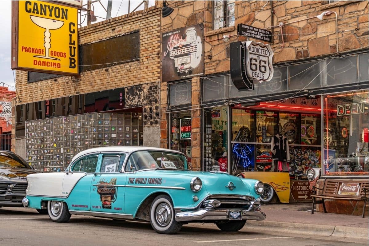
The historic downtown retains old storefronts, roadside signs, diners and motels associated with the highway's heyday. Unlike a museum recreation, however, Williams remains a functioning community where Route 66 runs directly through the centre of town.
There's another reason families may recognise the name. Williams is the southern terminus of the Grand Canyon Railway, which carries passengers north to the South Rim. Families wanting an alternative Grand Canyon experience can use the train as part of a different itinerary, although we don't need it on the route we've already travelled.
For us, Williams provides something simpler: park the car and walk.
After spending so much of the journey covering enormous distances, it's enjoyable to browse shops, look at restored signs, find lunch and appreciate Route 66 at pedestrian speed.
Why Roadside Diners Became Part of the Adventure
Route 66 flourished during an era when automobile tourism was transforming American travel.
Families needed fuel, meals and somewhere to sleep, and thousands of independent businesses appeared along the highway to serve them. Motels advertised swimming pools and air conditioning with enormous neon signs, while diners, cafés, service stations and roadside attractions competed for the attention of passing motorists.
That competition produced some wonderfully imaginative architecture and advertising. A business couldn't rely on a search engine to tell travellers it was nearby; it had to make people notice it from the road.
Bright signs, unusual buildings, enormous statues and eccentric attractions weren't merely decoration. They were marketing—and nearly a century later, they're part of what makes Route 66 fun.
Seligman — The Town That Helped Save Route 66
Continue west and we reach Seligman, one of the most important towns in the modern Route 66 story.
When Interstate 40 bypassed Seligman in 1978, traffic that had supported local businesses for decades largely disappeared. Rather than allowing the old highway's identity to vanish, local barber and businessman Angel Delgadillo and other community members began campaigning for recognition of Historic Route 66.
Their efforts helped lead to the establishment of the Historic Route 66 Association of Arizona in 1987 and contributed to renewed interest in preserving the old road.
Today, Seligman embraces that history enthusiastically. Old-fashioned storefronts, colourful signs, vintage vehicles and quirky businesses make it one of the most entertaining stops on Arizona's Route 66.
But knowing the story behind the decorations makes it much more meaningful. This isn't a town pretending the interstate never arrived; it's a community that found a way to survive after the interstate took its traffic away.
Delgadillo's Snow Cap — Route 66 With a Sense of Humour
Among Seligman's best-known landmarks is Delgadillo's Snow Cap, opened by Juan Delgadillo in 1953.
The small roadside eatery became famous not only for burgers and ice cream but for its playful atmosphere, eccentric decorations and deliberately corny jokes. The building itself was constructed largely from scrap lumber, and over the decades it became exactly the sort of independent roadside business Route 66 travellers remember.
This is the kind of stop children may enjoy more than another historical marker. Order something, look around and laugh at the ridiculous signs.
A road trip is allowed to be silly occasionally.
Family Travel Insight
Seligman is a good example of why we shouldn't schedule Route 66 too tightly.
A town that appears to require a twenty-minute stop can easily consume an hour once everyone starts exploring. That's not lost time.
That's the reason we're on Route 66.
The Road West of Seligman
One of the best surviving stretches of old Route 66 begins around Seligman and continues west through northern Arizona rather than immediately disappearing beneath Interstate 40.
Here we can experience something closer to the old rhythm of the highway. The road crosses broad high-desert country, passing small communities and long stretches where traffic feels considerably lighter than on the interstate.
This is where the journey begins to resemble the Route 66 families imagine: a two-lane road, enormous sky and an occasional roadside business appearing after miles of open country.
If time is limited, Seligman makes a perfectly satisfying turnaround point for our chapter. If we have another day, however, we can keep going.
Hackberry General Store — A Roadside Time Capsule
Farther west, Hackberry General Store has become a popular stop for travellers interested in Route 66 memorabilia.
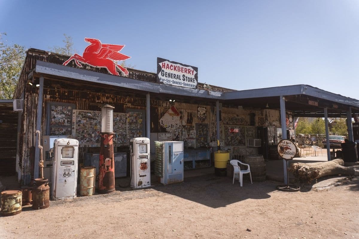
Vintage fuel pumps, old automobiles, signs and roadside artefacts surround the property, creating something between a general store, informal museum and enormous photographic scrapbook of highway history.
This isn't an attraction requiring half a day, and that's part of its appeal. Stretch the legs, let children inspect the old cars and signs, pick up a drink and continue west.
Route 66 works best when these small stops accumulate into the story of the day.
Kingman — Understanding the Road We Just Travelled
Eventually the old highway reaches Kingman, one of Arizona's major Route 66 communities.
For families continuing this far, the Arizona Route 66 Museum provides useful context for everything we've been seeing. Rather than treating Route 66 simply as a collection of neon signs and old cars, exhibits explore transportation across this corridor and the people who travelled west over different periods of American history.
Kingman also makes a logical overnight stop for travellers continuing toward California, Las Vegas or other parts of the Southwest.
But our purpose isn't to keep driving simply because Route 66 continues. We've experienced enough to understand why this road still matters.
What About the Giant Roadside Attractions?
Part of Route 66's reputation comes from giant statues, peculiar museums and businesses seemingly designed to make children shout, “What was THAT?”
There are plenty of them across the full highway, but we don't need to chase every one.
If something catches the family's attention along the section we're already driving, stop and investigate. If it requires a two-hour detour solely because an online list declared it essential, think twice.
The spirit of Route 66 isn't completing somebody else's checklist. It's allowing curiosity to interrupt the itinerary occasionally.
Neon Nights — Better When We Know the Story
After dark, towns such as Williams and Seligman reveal another part of Route 66's character as restored motel, restaurant and business signs begin glowing against the night.
Those lights are more than colourful decorations. Before online reservations, satellite navigation and interstate exit signs, roadside businesses competed fiercely for motorists' attention. A brilliantly illuminated motel sign might persuade a tired family to stop for the night rather than continue to the next town.
Many historic signs disappeared as businesses closed and interstate highways bypassed communities. Others have been restored as towns rediscovered the value of their Route 66 heritage.
Walking beneath that neon today is therefore partly nostalgia and partly preservation. Communities are keeping pieces of their twentieth-century history visible.
One of Those Moments...
Perhaps we're in Williams or Seligman after dinner.
The temperature has dropped with the setting sun, and an old neon sign across the street has just flickered to life. A restored car sits outside a roadside business while families wander between shops, ice creams in hand. Someone points at an absurd sign in a window and everybody laughs.
There are no towering canyon walls here, no famous red-rock formations and no viewpoint we're supposed to photograph. Yet this may be one of the easiest evenings of the entire journey.
That's the pleasure of Route 66. After days spent being impressed by enormous landscapes, it reminds us that a memorable road trip can also involve a burger, an old car and a town that refused to disappear when the new highway passed it by.
Why Route 66 Belongs in This Southwest Journey
We could travel between many of these places more quickly on modern highways, but speed isn't what Route 66 offers.
The old road allows families to see how automobile travel changed American communities and how those communities adapted when transportation changed again.
Flagstaff connects the highway with railroads and astronomy. Williams combines Route 66 heritage with its long relationship to Grand Canyon tourism. Seligman tells one of the most important stories of the highway's preservation, while the surviving road west lets us experience something of the slower travel rhythm that interstate highways largely replaced.
Along the way, there are still diners, old signs, unusual shops and wonderfully unnecessary roadside stops.
We haven't driven Route 66 from Chicago to Santa Monica, and we didn't need to. We've experienced enough of it to understand why, decades after its official decommissioning, people still cross oceans for the opportunity to drive a piece of the Mother Road.
When the Road Goes Dark
Eventually the neon disappears behind us.
Towns become smaller and the distances between lights grow longer. Away from the urban glow, the Southwest begins revealing the final landscape of this chapter—one we've been travelling beneath since the Grand Canyon but haven't properly explored yet.
After days of looking toward cliffs, canyons, buttes and red-rock formations, it's finally time to look in the opposite direction.
Up.
Because when darkness settles across the Southwest, one of North America's greatest landscapes appears in the sky.
Desert Nights
When the Southwest Reveals a Different Landscape
After sunset, the American Southwest changes again.
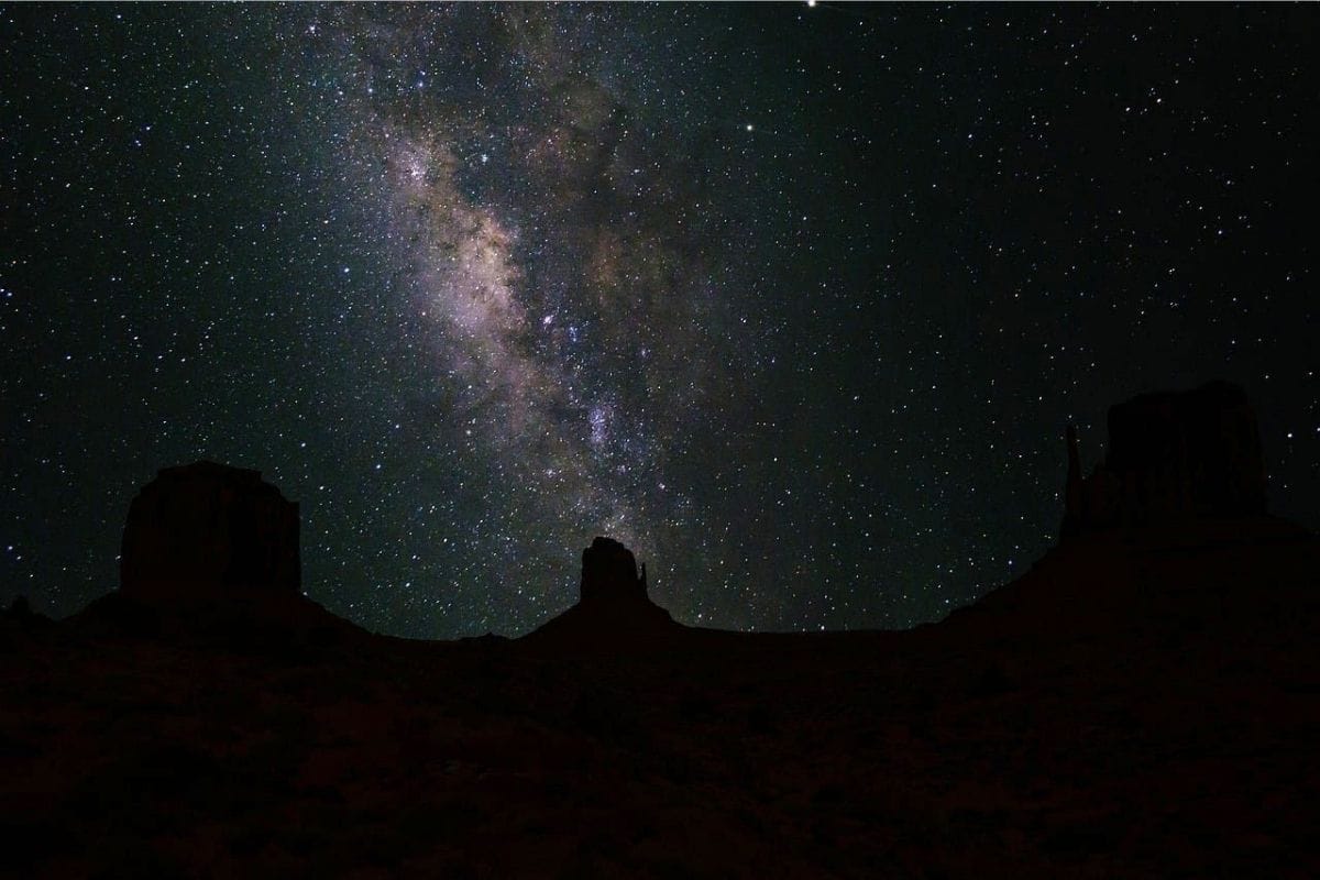
The intense colours of the day gradually disappear, temperatures begin to fall and the enormous desert sky takes over. Away from city lights, stars that are barely visible at home can suddenly seem countless, while on a clear, moonless night the Milky Way may stretch across the sky as a pale band of light.
After spending days looking down into the Grand Canyon and up at the sandstone walls of Monument Valley and Sedona, ending the journey beneath a dark desert sky feels particularly appropriate.
And families don't necessarily need to travel somewhere special to experience it. We may already have been sleeping beside some of the best night skies on the continent.
Where to Experience the Stars
Several places along our Southwest journey are recognised for protecting dark skies.
Grand Canyon National Park is an International Dark Sky Park, while Flagstaff has a particularly important connection with dark-sky protection and astronomy. As we discovered earlier, it became the world's first International Dark Sky City, and Lowell Observatory gives families an opportunity to combine stargazing with the science behind what we're seeing.
Monument Valley can also provide extraordinarily dark skies when conditions are clear, particularly if we're staying overnight rather than simply visiting during daylight.
That means we don't need to add another long drive just to find stars. We can build stargazing naturally into the road trip we're already taking.
You Don't Need a Telescope
One of the nicest things about stargazing is how little equipment it requires.
Find an appropriate dark location, allow our eyes time to adjust and simply look upward. A blanket or reclining chair makes things considerably more comfortable. Binoculars can reveal more stars than the naked eye, while a basic astronomy app can help older children identify planets and constellations without turning the evening into a science lesson.
Then put the screen away.
Human eyes need time to adapt to darkness, and bright phone screens immediately undo much of that adjustment.
Family Travel Insight
Give everyone's eyes 20 to 30 minutes to adapt to the darkness. Use a red-light setting or dim red flashlight if light is necessary, and keep children close in unfamiliar terrain.
The desert can contain steep drop-offs, uneven ground, cactus and wildlife that are considerably harder to see at night. Stargazing is best done from a safe, established area—not by wandering into the desert in darkness looking for a better photograph.
Why Dark Skies Matter
For most of human history, a star-filled sky was an ordinary part of nighttime life. Today, artificial light from cities and development prevents billions of people from seeing much of it.
Dark-sky protection isn't only about astronomy. Excessive artificial light can affect wildlife, waste energy and change the natural character of nighttime landscapes.
Experiencing a truly dark sky therefore gives children an interesting perspective: something as simple as darkness has become a natural resource worth protecting.
The Stars Have Human Stories Too
People have observed and interpreted the Southwest's skies for thousands of years, including Indigenous peoples whose astronomical knowledge and cultural traditions developed within these landscapes.
We should be careful not to reduce those traditions to a generic collection of “Native star stories.” The Southwest is home to many distinct Tribal Nations, each with its own histories, knowledge and cultural practices, some of which aren't intended to be shared outside their communities.
Where Indigenous astronomical interpretation is offered through an appropriate Tribal or cultural program, listen to the people whose tradition it is.
That's a much more respectful—and much more interesting—way to learn.
One of Those Moments...
The day's driving is finished.
Maybe we're outside our accommodation near Monument Valley or sitting somewhere safe beneath the dark sky around the Grand Canyon. The temperature has dropped enough for everyone to reach for the extra layers that seemed completely unnecessary that afternoon.
At first, we recognise only a few bright stars. Then our eyes adjust, and more appear between them, followed by hundreds more until the sky seems almost impossibly crowded.
Someone spots a satellite moving steadily overhead. Another person thinks they've seen a shooting star and immediately has to defend the claim to everyone else.
Nobody is rushing anywhere, and for once there's nothing left on today's itinerary.
We simply sit together and look up.
Planning a Southwest Family Road Trip
This chapter covers an enormous region, and families shouldn't interpret it as a checklist that must be completed exactly as written.
A comfortable version could look something like:
Grand Canyon South Rim → Monument Valley → Sedona → Flagstaff → Williams → Seligman
Families with additional time could continue farther along Route 66 toward Hackberry and Kingman.
That sequence gives us national-park scenery, Diné culture, hiking and creek country, astronomy and genuine Route 66 communities without requiring endless backtracking.
Allowing 7 to 10 days makes the journey much more enjoyable. Families with additional time can stay longer in Sedona or the Grand Canyon, explore more of Route 66 or add other Southwest destinations as a separate extension.
The important word is separate.
There will always be another canyon.
Don't Underestimate the Distances
The Southwest looks deceptively manageable on a map because towns and landmarks are surrounded by enormous areas of open land.
Fuel stations, restaurants and other services may be farther apart than families accustomed to urban travel expect. Mobile-phone coverage can also become unreliable in remote areas.
Don't wait until the fuel warning light appears before looking for a gas station. Keep drinking water in the vehicle, download maps for offline use and let somebody know the day's plans when travelling into more remote areas.
A little preparation allows the empty spaces to feel adventurous rather than inconvenient.
Heat, Altitude & Changing Weather
One of the most surprising things about this journey is how much conditions can vary.
The bottom of the Grand Canyon can be dangerously hot while the South Rim, more than 7,000 feet above sea level, is considerably cooler. Flagstaff sits at a similarly high elevation and experiences genuine winter weather, while Sedona and Monument Valley have their own desert temperature swings.
That means “Arizona weather” isn't one useful forecast. Check conditions for the actual places we're visiting, particularly when hiking.
Summer heat, winter snow, thunderstorms and flash-flood risks can all affect Southwest travel depending on location and season.
Family Travel Insight
Build flexibility into the itinerary.
If dangerous heat makes an afternoon hike unwise, move it to early morning. If a storm affects an unpaved road, don't treat the itinerary as a contract.
The Southwest will still be there tomorrow.
Respect the Land — and the People Who Call It Home
Throughout this journey, we've crossed landscapes with very different systems of management and ownership.
The Grand Canyon is a U.S. national park with deep connections to multiple Tribal Nations. Monument Valley is a Navajo Tribal Park within the Navajo Nation. Sedona includes federal, state, municipal and other lands, while Route 66 carries us through working communities where people live their everyday lives.
The rules won't always be the same. Follow local requirements, remain on appropriate roads and trails, don't enter private or restricted areas and ask before photographing people when circumstances call for it.
Most importantly, remember that a spectacular landscape isn't automatically public space simply because it's famous.
Good travellers leave places with their dignity intact.
One Last Look at the Southwest
By the time this journey ends, the Grand Canyon may no longer be the only image that comes to mind when someone mentions the American Southwest.
We may remember the immense Mittens rising above Diné land in Monument Valley, the shade of Oak Creek after a hot Sedona morning or the moment a restored Route 66 sign flickered on after sunset in Seligman.
Children may remember something completely different: looking through a telescope in Flagstaff, a milkshake in Williams, scrambling over a Sedona rock or trying to decide whether that tiny moving light really was a satellite.
That's one of the pleasures of a road trip with enough variety: nobody has to choose the same favourite.
Why the American Southwest Stays With You
The American Southwest impresses us first with its scale.
The Grand Canyon seems almost too large to comprehend. Monument Valley turns geology into enormous silhouettes on the horizon, while Sedona surrounds us with cliffs, canyons and red-rock formations we can explore on foot.
But the journey becomes more meaningful when we begin looking beyond the scenery.
We discover landscapes connected to Indigenous peoples across generations, learn why Monument Valley must be understood as part of the Navajo Nation, see how communities along Route 66 adapted when the interstate passed them by and discover that protecting the Southwest can mean preserving darkness as well as canyons and forests.
Along the way, the trip gives families something road travel does particularly well: it connects subjects that rarely appear together in a classroom.
Geology leads to history. History leads to culture. Culture leads to communities. And eventually the road carries us beneath a night sky that puts everything back into perspective.
Perhaps that's what we'll remember most—not one canyon, butte, town or trail, but the feeling of travelling through a landscape where there was always something else worth understanding around the next bend.
Get Ready for Your Family Road Trip
Plan your family road trip with great places to stay, memorable things to do and practical travel essentials for the journey.
Find Hotels & Places to Stay
Compare hotel and accommodation options for your family road trip.
🎟️ Find Things to Do Along the Way
Discover family-friendly attractions, tours and activities for stops along your route.
Family Road Trip Essentials
Pack smarter with practical travel gear for comfortable, organized family road trips.
Chapter Nine
The Pacific Northwest
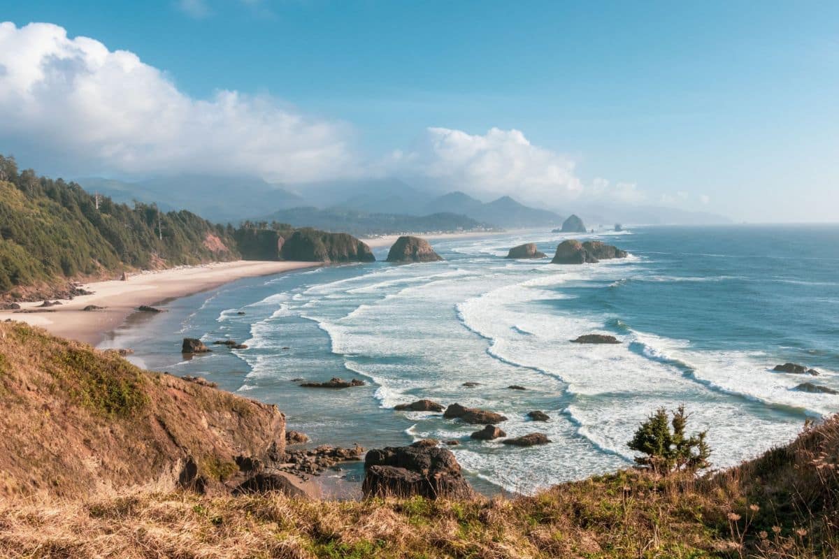
Waterfalls, Wild Coasts, Rainforests & Mountains
Portland → Columbia River Gorge → Cannon Beach → Astoria → Olympic National Park → Mount Rainier
The Pacific Northwest feels different almost as soon as we enter it.
Water shapes much of what families experience here. It tumbles from cliffs in the Columbia River Gorge, flows through one of North America's great river systems, crashes against Oregon's rocky coastline and feeds the temperate rainforests of Washington's Olympic Peninsula. Farther inland, snow and glaciers cover the upper slopes of enormous volcanic peaks.
This is certainly a region of forests and mountains, but reducing it to scenery would miss much of what makes the journey interesting. The Columbia River has supported Indigenous communities and trade networks for thousands of years. Historic highways reveal the beginnings of automobile tourism, fishing towns tell the story of life beside the Pacific, and national parks protect ecosystems ranging from moss-covered rainforest to alpine meadows and glacier-covered volcanoes.
For families, that variety is the great attraction. We aren't going to spend an entire chapter driving through beautiful forests and repeatedly saying how peaceful they are.
We're going to explore what's inside them.
How Long Should Families Allow?
For the route in this chapter, I'd allow approximately 8 to 12 days, particularly if we want meaningful time in both Olympic and Mount Rainier National Parks.
Our journey begins around Portland and the Columbia River Gorge, reaches the Pacific on Oregon's northern coast, follows the shoreline through places such as Cannon Beach and Astoria, then continues into Washington for Olympic National Park before finishing beneath Mount Rainier.
Families with less time can shorten individual sections, but I wouldn't try to compress the entire route into a handful of rushed days. The Pacific Northwest rewards families who occasionally leave the car behind.
Portland — Where the Journey Begins
Portland makes a practical starting point because the city sits close to both the Columbia River Gorge and the routes leading toward Oregon's coast.
Families could easily spend several days exploring Portland itself, but that's a different trip. For this road journey, the important thing is its location near the meeting point of the Willamette and Columbia Rivers.
Those rivers help explain why a major city developed here. The Columbia provides a navigable route between the Pacific and the interior Northwest, while the Willamette connects Portland with the fertile valley to the south. Long before Portland existed, however, Indigenous peoples lived, travelled, fished and traded throughout these waterways.
We'll begin by following the Columbia east, and it doesn't take long for the city to disappear behind us.
The Columbia River Gorge
Where a Great River Cuts Through the Mountains
East of Portland, the Columbia River Gorge forms an extraordinary passage through the Cascade Range.
For roughly 80 miles, the Columbia cuts between Oregon and Washington as steep cliffs rise from both sides of the river. Waterfalls descend from the Oregon walls, forests cover the lower slopes and, on clear days, distant volcanic peaks remind us that we're travelling through an active geological region.
But the Gorge isn't simply a beautiful corridor through the mountains. For thousands of years, the Columbia has been a place of movement, food, trade and community.
Archaeological evidence shows that people travelled from as far as present-day British Columbia and northern California to fish and trade along parts of the river, particularly during salmon runs. Chinookan- and Sahaptin-speaking peoples lived along different stretches of the Columbia, and major fishing areas became important centres of commerce long before European and American explorers arrived.
Understanding that history changes the journey. We're travelling through a landscape that connected people long before highways existed.
The River Before It Was Called the Columbia
Even the river's name tells part of the story.
In 1792, American sea captain Robert Gray entered the river aboard his ship Columbia Rediviva and subsequently gave the river the name by which most visitors know it today.
But Indigenous peoples already had names for it. The National Park Service notes that Chinook people of the lower river call it Wimahl, while Sahaptin-speaking peoples of the middle Columbia use Nch'i-Wàna, names conveying the idea of the big or great river.
That's a useful reminder for families travelling throughout the Northwest. European exploration didn't mark the beginning of these places' histories; it marked the arrival of new people into landscapes that already had names, communities and stories.
Historic Columbia River Highway
When the Road Itself Became an Attraction
Rather than staying entirely on Interstate 84, families should experience at least part of the Historic Columbia River Highway.
Opened in stages beginning in the 1910s, the highway was designed not merely to move automobiles through the Gorge but to show travellers its beauty. Engineers followed the contours of the landscape, creating graceful curves, stone walls, bridges and carefully positioned viewpoints.
It became an early example of the idea that a road could be part of the travel experience rather than simply the fastest route between two places.
That philosophy should sound familiar by now. We've encountered it on the Blue Ridge Parkway and Cabot Trail. Here, however, we're seeing it during the early years of American automobile tourism, when simply taking a family drive was becoming an adventure of its own.
Vista House — A Rest Stop Built Like a Monument
Our first major stop is Crown Point, where Vista House stands 693 feet above the Columbia River.
The octagonal building opened in 1918 as an observatory and unusually elaborate rest stop for travellers on the new highway. With marble, stained glass and sweeping views across the Gorge, it was considerably grander than the highway service areas families know today.
Step outside and the reason for building it here becomes obvious. The Columbia stretches through the Gorge below while steep, forested walls rise around it. From this elevation, children can begin to see the geography of the journey rather than simply watching trees pass the car windows.
Vista House also commemorated settlers who travelled through the Columbia Gorge during the era of the Oregon Trail, but there's a larger story behind that history.
The Oregon Trail Reaches the Columbia
During the great nineteenth-century overland migration, hundreds of thousands of people travelled west along routes collectively associated with the Oregon Trail.
Reaching the Columbia didn't mean the difficult journey was over. Before an overland alternative around Mount Hood became available, emigrants faced the dangerous prospect of navigating sections of the river. Many relied heavily upon Indigenous people for local knowledge, food, guiding and assistance negotiating difficult stretches of water.
Later roads, railways and steamships transformed travel through the Gorge again, and eventually we arrived at the road we're driving today.
That gives families an interesting progression to think about:
Indigenous trails and canoes, emigrant rafts and wagons, steamboats and railways, early automobiles—and finally our own family car.
The landscape stayed; the way people moved through it kept changing.
The Waterfall Corridor
East of Crown Point, the historic highway enters the famous Waterfall Corridor.
Streams draining the high country reach the edge of the Gorge and suddenly have hundreds of feet to descend toward the Columbia below. The result is an extraordinary concentration of waterfalls within a relatively short distance.
We don't need to stop at every one and turn a wonderful drive into a waterfall checklist. Instead, choose a few different experiences.
Latourell Falls provides a dramatic introduction, dropping from a basalt cliff not far from the road. Bridal Veil Falls can add a short woodland walk, while the unmistakable star of the corridor waits farther east.
Multnomah Falls — Oregon's Famous Cascade
At Multnomah Falls, water plunges in two major stages for a total of about 620 feet, making it Oregon's tallest waterfall.
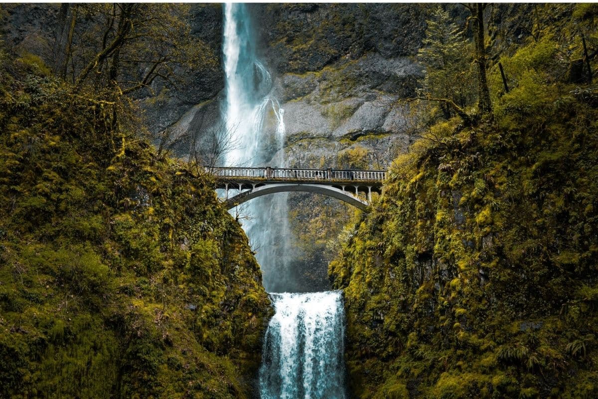
The first view is wonderfully theatrical. Water descends from the forested cliff while Benson Bridge crosses the narrow gorge between the upper and lower falls.
Families don't need to undertake a major hike to appreciate it. The lower viewing area provides the classic perspective, while those wanting a little more activity can walk toward Benson Bridge for a closer look.
Longer trails climb above the falls, but—as we've been doing throughout this guide—I'd choose the experience according to the family rather than assuming farther and steeper automatically means better.
2026 Planning Note
Multnomah Falls is extremely popular, and there is an important 2026 access requirement.
From May 22 through September 7, 2026, between 9 a.m. and 6 p.m., each personal vehicle using the I-84 Exit 31 Multnomah Falls parking lot requires a timed-use permit obtained in advance. A limited number of same-day permits are also available at designated Gorge locations.
Don't interpret that as meaning the entire Columbia River Gorge requires a reservation. The requirement applies specifically to vehicle access to the I-84 Exit 31 Multnomah Falls parking lot during those dates and hours.
That's an important distinction when we're planning the day.
I've removed the temporary ChatGPT-tagged Oregon link from the replacement. We'll add the proper official link during our dedicated linking pass.
Why Are There So Many Waterfalls?
The waterfalls aren't simply a fortunate accident.
The Columbia River cut deeply through layers of volcanic rock while enormous Ice Age floods further reshaped the Gorge. Smaller streams descending from the surrounding highlands were left entering the main valley high above the river, creating ideal conditions for waterfalls.
Rain and snowmelt keep those streams flowing, while the region's wet climate supports the dense vegetation surrounding many of them.
Once children understand that connection, the drive becomes more interesting because the waterfalls, cliffs and river aren't separate attractions—they're parts of the same geological story.
Bonneville — Where Salmon Meet a Modern River
Continuing east brings us to Bonneville Dam, where the Columbia reveals a very different side of its history.
Completed during the 1930s, Bonneville became part of a huge system of dams that transformed the Columbia for hydroelectric power, navigation and other uses. Those changes also profoundly affected the river's ecosystems and salmon migrations, which have immense ecological and cultural importance throughout the Northwest.
A visit here can help families understand something we don't see from a scenic viewpoint. Great rivers aren't only beautiful; people depend on them, alter them and sometimes spend generations dealing with the consequences of those alterations.
Depending on current access and operating conditions, visitor facilities around Bonneville can provide opportunities to learn about hydropower, navigation and migrating fish.
For children, watching salmon negotiate a fish ladder can make the complicated relationship between engineering and nature suddenly much easier to understand.
Salmon — The Fish That Connects the Northwest
It's difficult to understand the Columbia without understanding salmon.
For Indigenous peoples throughout the river system, salmon have long been far more than a food source. They are connected with economies, communities, traditions and cultural identity.
Salmon also transport nutrients between ocean and inland ecosystems. After spending part of their lives at sea, adults return to freshwater rivers and streams to reproduce, carrying marine nutrients deep into the landscape.
That means a fish swimming upstream can eventually contribute nutrients to forests far from the Pacific. Ocean, river, wildlife, forests and people are connected by the journey of a fish.
Hood River — A Town Between River and Mountain
By the time we reach Hood River, we've seen waterfalls, historic roads and major river engineering. Now the Gorge changes again.
The town sits where the Hood River meets the Columbia, surrounded by orchards and with Mount Hood rising dramatically to the south on clear days.
Hood River makes an excellent lunch or overnight stop, particularly for families who want to break the Gorge into a more relaxed day. The area's orchards produce apples, pears and other fruit, while the river's strong winds have made Hood River internationally known for windsurfing and kiteboarding.
Even if nobody in the family has the slightest intention of attaching themselves to a kite and racing across the Columbia, watching experienced riders can be entertaining.
More importantly, Hood River gives us another real town in the journey. Browse downtown, find something to eat, look across the river and allow everyone to stop being a tourist for an hour.
Family Travel Insight
The Columbia River Gorge is close enough to Portland that it's often promoted as an easy day trip—and it can be.
But if we're continuing into a larger Pacific Northwest road journey, there's no reason to treat it like a race. Allow time for Vista House, a couple of waterfalls, lunch and whichever additional stop genuinely interests the family.
We don't need eight waterfalls to prove we visited the Gorge.
One of Those Moments...
Perhaps it's late afternoon when we stop somewhere above the Columbia.
This morning we left Portland surrounded by city streets. Since then we've stood inside an extravagant century-old highway rest stop, followed a road built specifically to reveal the landscape, walked beneath waterfalls and learned how salmon connect the Pacific Ocean with rivers and forests hundreds of miles inland.
Below us, the Columbia continues west toward the sea. For thousands of years it has carried fish and people through this landscape. It has supported Indigenous trade, challenged emigrants, carried steamboats and barges, generated electricity and shaped communities along both banks.
Tomorrow we'll follow that story toward its natural conclusion.
The river is heading for the Pacific Ocean. So are we.
From the Gorge to the Oregon Coast
Leaving the Columbia River Gorge, our journey turns west toward a coastline where the scenery changes completely.
Forested mountains give way to headlands and beaches. Fishing harbours replace waterfall viewpoints, enormous sea stacks rise from the surf and small coastal communities give us reasons to stop that have nothing to do with simply admiring the ocean.
And one feature of Oregon makes exploring that coastline particularly special: the beaches don't belong only to the hotels and homes built beside them. They're for everyone.
The Oregon Coast
Sea Stacks, Tide Pools & Towns Worth Stopping For
Reaching the Oregon Coast changes the rhythm of the journey again.
The Columbia River Gorge gave us waterfalls, forests and a great river cutting through the mountains. Now the horizon opens onto the Pacific, where waves roll toward broad beaches, forested headlands extend into the ocean and enormous sea stacks rise from the surf.
But we're not going to spend the next section simply driving beside beautiful water. The northern Oregon Coast gives families beaches to explore, tide pools filled with marine life, coastal towns with their own histories and one of the most interesting public-access stories of any coastline in North America.
Why Oregon's Beaches Belong to Everyone
One of the most remarkable things about travelling the Oregon Coast is how accessible it remains.
Oregon has a long history of protecting public access to its shoreline. In 1967, the state's famous Beach Bill strengthened that principle by establishing public recreational access along the ocean shore.
For visiting families, the result is something easy to take for granted: we can walk long stretches of beach without repeatedly encountering private sections reserved for beachfront properties.
That protection didn't happen accidentally. It reflected a political decision that access to Oregon's shoreline should remain available to the public.
It's one of those pieces of travel history that becomes considerably more meaningful the moment we step onto the sand.
Cannon Beach — More Than Haystack Rock
Our first major coastal destination is Cannon Beach, one of Oregon's best-known seaside towns.
The immediate attraction is impossible to miss. Haystack Rock rises approximately 235 feet from the beach, surrounded at low tide by smaller formations and shallow pools left behind as the Pacific retreats.
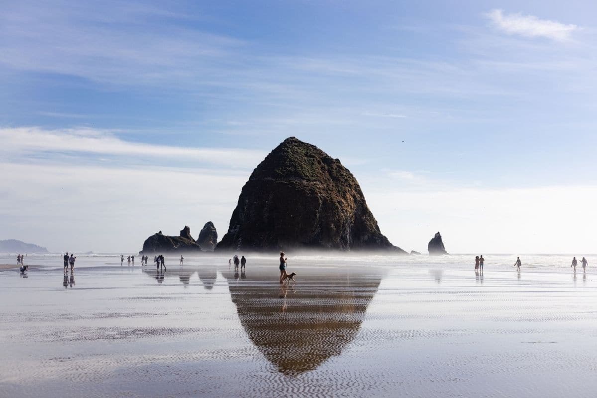
It's one of the most photographed landmarks on the Oregon Coast, but families should resist the temptation to take the photograph and immediately move on.
Some of the most interesting discoveries are at our feet.
Tide Pools — An Ocean World Between the Tides
At sufficiently low tide, rocky areas around Haystack Rock reveal pools containing creatures adapted to an extraordinary daily cycle.
Sea stars cling to rocks, anemones wait beneath the water, and mussels crowd together in dense colonies while crabs and other small animals shelter among crevices. Then the tide returns and much of this world disappears beneath the Pacific again.
For children, tide pools can be more fascinating than the giant rock towering above them because they turn an ordinary beach walk into a wildlife expedition.
Family Travel Insight
Check local tide predictions before planning a tide-pool visit. Low tide provides the best opportunity, but ocean conditions always deserve respect.
Never turn your back on the Pacific, and don't allow children to climb onto offshore rocks simply because the water currently looks calm.
Around the tide pools, look rather than collect. Avoid stepping on living creatures, leave shells and animals where they belong and follow any guidance provided by local stewardship staff.
A sea star is considerably more interesting attached to its home than drying out in the back of our rental car.
Haystack Rock Is Also a Wildlife Refuge
Haystack Rock isn't only a geological landmark. The rock and surrounding area provide habitat for seabirds, and seasonal visitors can include Tufted Puffins, which nest in burrows on grassy portions of offshore rocks along this coast.
Puffins aren't guaranteed, and they're not always easy to see from the beach. That's simply part of wildlife watching.
Binoculars can help, but patience matters more. Children quickly learn that observing a wild animal is very different from visiting a zoo because nature doesn't operate according to our vacation schedule.
Cannon Beach — The Town Behind the Beach
The town itself deserves some time too.
Cannon Beach has galleries, independent shops, cafés and restaurants within an easily walkable centre. That makes it a useful overnight stop rather than simply a parking area for Haystack Rock.
After several days of forests and waterfalls, families may appreciate an afternoon requiring no hiking plan whatsoever. Walk the beach, browse town and find something warm to eat if the Pacific wind has convinced everyone that summer isn't quite as warm as expected.
Then return to the shoreline later when the light changes.
Sometimes staying overnight turns a famous attraction into a much more relaxed experience.
Ecola State Park — Seeing the Coast From Above
Just north of Cannon Beach, Ecola State Park provides a completely different perspective.
Forested headlands rise above the Pacific, with viewpoints overlooking beaches, offshore rocks and long stretches of rugged coastline.
This is where the Oregon Coast begins to make geographical sense. From beach level, we experience one cove at a time; from higher ground, we can see how headlands, beaches and sea stacks connect along the shoreline.
Trails provide opportunities for longer exploration, but families don't need to turn every viewpoint into a hike. Sometimes stopping, walking a short distance and looking down the coast is enough.
Weather Note
Pacific Northwest coastal weather can change remarkably quickly.
A morning that begins beneath clear skies may become cool, windy and misty before lunch. Pack layers and a light waterproof jacket even when the forecast looks promising.
The Oregon Coast doesn't always provide postcard weather, but mist drifting around forested headlands can be pretty spectacular too.
Seaside — A Classic Family Beach Town
Continuing north brings us to Seaside, which provides a useful contrast with Cannon Beach.
Where Cannon Beach feels artistic and relatively understated, Seaside embraces the traditions of the classic family beach resort.
The town's Promenade, commonly called the Prom, runs along the beachfront and has been part of Seaside life for generations. Families can walk or cycle beside the ocean before exploring the town's shops, casual restaurants and family attractions.
This isn't the wildest stop on our Pacific Northwest journey, and that's precisely why it works. After tide pools, waterfalls and forest trails, children may be perfectly delighted by an ice cream and a beach-town afternoon.
Not every stop needs to educate us. Some are allowed to be fun.
Lewis and Clark Reached the Pacific
Seaside also gives us a connection to one of the most famous expeditions in American history.
The Lewis and Clark Expedition, formally known as the Corps of Discovery, reached the Pacific Northwest in 1805 after travelling west across the continent.
Members of the expedition established a salt-making camp near present-day Seaside, where they boiled seawater to produce salt needed to preserve meat.
It sounds like a minor detail compared with crossing a continent, but that's exactly why it's interesting. Exploration depended upon practical problems: food, weather, clothing, navigation and finding ways to survive far from established supply lines.
The expedition's story also needs context. Lewis and Clark didn't travel through an empty continent. Their journey crossed the homelands of numerous Indigenous Nations, and the expedition frequently depended upon Indigenous knowledge, trade and assistance.
We'll encounter that history again near Astoria.
Fort Clatsop — The Winter at the End of the Journey
Before reaching Astoria, families interested in history should consider Fort Clatsop, part of Lewis and Clark National Historical Park.
The expedition spent the winter of 1805–1806 near the mouth of the Columbia River after reaching the Pacific. The reconstructed fort helps families understand just how small and basic their winter quarters were.
This was not a triumphant luxury lodge at the end of a great expedition. It was a wet, cramped encampment in a region experiencing months of winter rain.
The surrounding historical park also helps tell a broader story of the expedition's interactions with the Clatsop and Chinook peoples, whose communities were already well established around the lower Columbia.
History Note
The expedition's written records provide valuable information about the region, but they're records created by newcomers.
Indigenous peoples possessed their own detailed knowledge of the land, rivers, seasons and resources long before the Corps of Discovery arrived. Visiting Fort Clatsop gives families an opportunity to consider the same historical event from more than one perspective.
Astoria — Where the Columbia Meets the Pacific
Then we reach Astoria, perched on hills above the mouth of the Columbia River.
Astoria exists because of its remarkable location. Here, the great river we've followed since Portland finally reaches the Pacific Ocean, creating an estuary where freshwater and saltwater meet.
Ships have to navigate the difficult transition between river and ocean, while fishing, trade and maritime industries have shaped the community for generations.
The result is a town where almost everything seems connected to water.
Before Astoria
The story of this place didn't begin when American traders arrived.
The lower Columbia was—and remains—home to Indigenous peoples including Chinookan communities, whose extensive trade networks connected the coast with inland regions long before European or American settlement.
The Columbia wasn't a barrier separating communities. It was a highway connecting them, carrying people and goods through the region while salmon and other river resources supported substantial populations.
This matters when we describe Astoria's later history. Calling it simply the beginning of settlement in the Pacific Northwest erases the communities already living here.
The Astoria of John Jacob Astor
The modern city's name comes from wealthy American businessman John Jacob Astor.
In 1811, employees of Astor's Pacific Fur Company established Fort Astoria, creating an important American fur-trading post at the mouth of the Columbia. The site subsequently passed through British control and became known as Fort George before eventually returning to American control.
Rather than calling Astoria the “oldest settlement west of the Rockies” without qualification, it's more accurate—and more interesting—to understand it as one of the earliest permanent American trading settlements on the Pacific Coast.
That tells the later settlement story without pretending nobody was here before 1811.
Columbia River Maritime Museum — When the River Becomes Dangerous
One of Astoria's most worthwhile family attractions is the Columbia River Maritime Museum.
By now we've spent much of this chapter admiring the Columbia, but the museum reveals why sailors have also learned to respect it.
Where the river meets the Pacific, powerful currents, waves, shifting sandbars and severe weather can create extremely dangerous navigation conditions. The area near the river's entrance has earned the ominous nickname “Graveyard of the Pacific.”
Museum exhibits explore navigation, fishing, shipwrecks, rescue work and life on the river. For children, this turns the ships we've been watching from shore into something much more interesting.
Those vessels aren't simply passing through picturesque water. They're navigating one of the most challenging river entrances on the continent.
The Columbia River Bar Pilots
Astoria also introduces us to a remarkable profession most families have probably never considered.
Large ships entering or leaving the Columbia often rely on highly trained Columbia River Bar Pilots, specialists with detailed knowledge of the shifting and sometimes hazardous waters at the river mouth. Getting a pilot aboard a ship in rough conditions can itself be dramatic, involving specially designed pilot boats or helicopters.
It's a wonderful example of how much specialised knowledge can hide behind something that appears ordinary from shore.
We watch a cargo ship glide toward the horizon without seeing the expertise required to get it there safely.
Astoria Column — Reading the Landscape From Above
High above town, the Astoria Column provides a panoramic view across the Columbia River, surrounding hills and, in suitable conditions, toward the Pacific.
The exterior of the column depicts scenes from regional history. Families willing and able to climb the spiral staircase inside can reach the observation deck, although the view from the surrounding hill is worthwhile even for those who prefer to remain firmly on the ground.
This is a good place to connect the geography we've been travelling through. Somewhere upriver lies the Columbia River Gorge; below us is Astoria; beyond the river mouth is the Pacific.
Suddenly several days of driving fit into one view.
The Astoria-Megler Bridge
It's difficult to miss the enormous Astoria-Megler Bridge, stretching across the Columbia between Oregon and Washington.
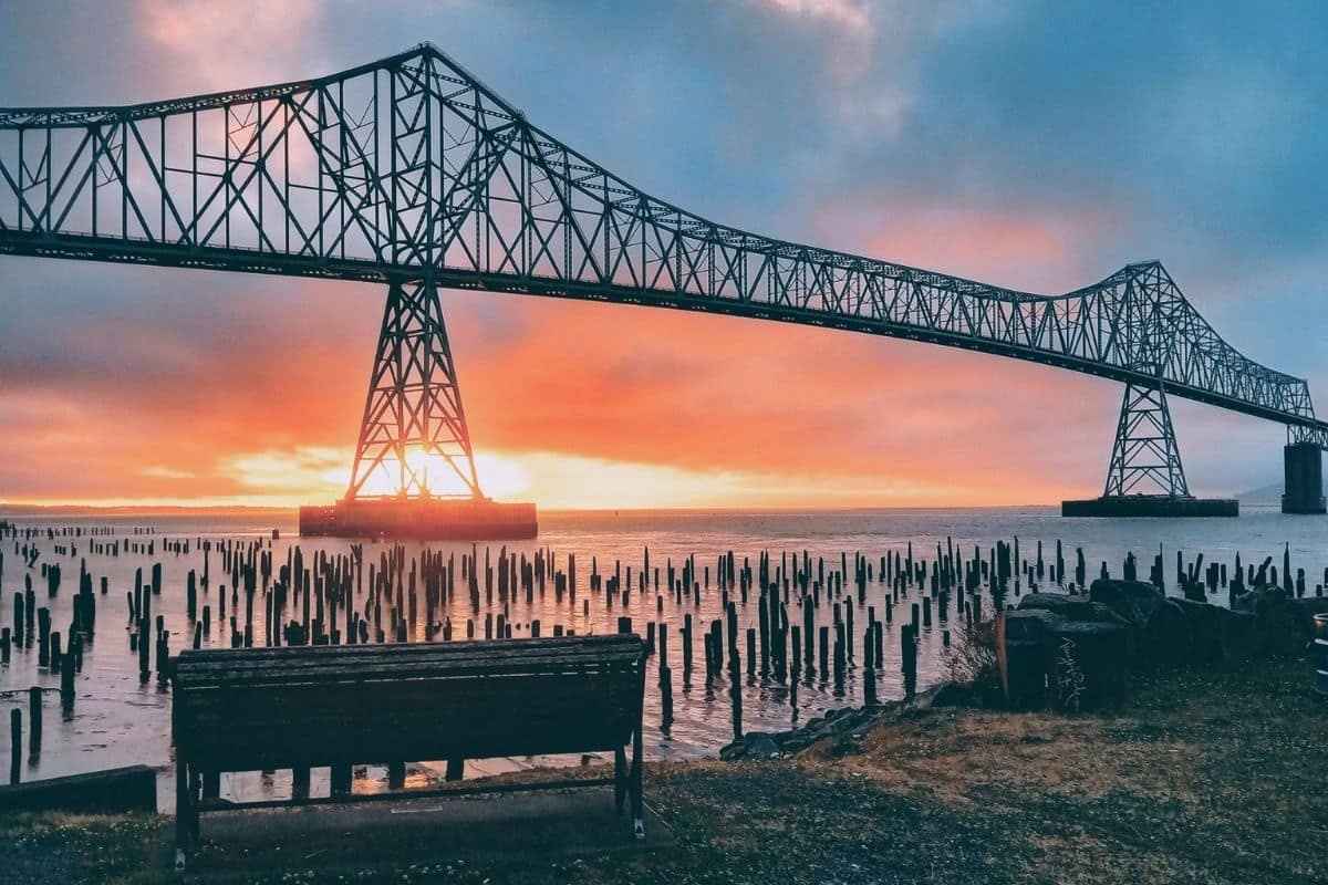
At just over four miles long, the bridge provides a dramatic final crossing of the river we've been following throughout the first half of this chapter.
For our journey, it's more than a landmark. It's the road forward.
Crossing it takes us out of Oregon and into Washington State, where the character of the trip changes once again.
One of Those Moments...
Perhaps our last Oregon evening is spent somewhere along Astoria's waterfront.
A huge cargo vessel is moving slowly along the Columbia while smaller fishing boats return toward shore. Sea lions may be making considerably more noise than anyone expected, and the Astoria-Megler Bridge stretches across the water in the fading light.
Think about how much the river has changed since we first met it east of Portland. There, it flowed between steep walls of the Gorge beneath waterfalls and historic highways. We followed it past salmon habitat, dams and communities before eventually reaching the Pacific.
Now we're standing at the point where river and ocean finally meet.
Tomorrow we'll cross that bridge. On the Washington side, forests grow even wetter, mountains rise above glacier-fed lakes and one national park protects three remarkably different worlds.
We're heading for the Olympic Peninsula.
Olympic National Park
Mountains, Ancient Forests & the Wild Pacific
Crossing into Washington and continuing toward the Olympic Peninsula, it quickly becomes clear that Olympic National Park isn't one landscape.
Snow-covered mountains rise in the centre of the peninsula. Deep valleys contain some of North America's finest temperate rainforests, while the western edge meets a rugged Pacific coastline of sea stacks, driftwood beaches and powerful surf.
For families, that variety is wonderful, but it also creates a planning challenge.
There is no road through the centre of Olympic National Park. The mountains occupy the interior, so reaching different areas generally means driving around the peninsula and entering the park from different directions. The National Park Service specifically warns visitors that destinations can be farther apart than they appear on a map.
That's why we're not going to attempt every corner. We'll choose experiences that reveal Olympic's three great environments—mountains, rainforest and Pacific coast—while adding a beautiful lake along the way.
Port Angeles — A Practical Gateway
For families approaching Olympic from the northeast, Port Angeles makes a useful base.
The city sits on the Strait of Juan de Fuca, with Canada's Vancouver Island across the water, and provides accommodation, restaurants and supplies before we begin exploring more remote parts of the peninsula.
It's also the gateway to our first major Olympic landscape. From sea level, the road begins climbing rapidly toward the mountains.
Hurricane Ridge — From Sea Level to the High Country
The drive to Hurricane Ridge is one of the most dramatic transitions in Olympic National Park.
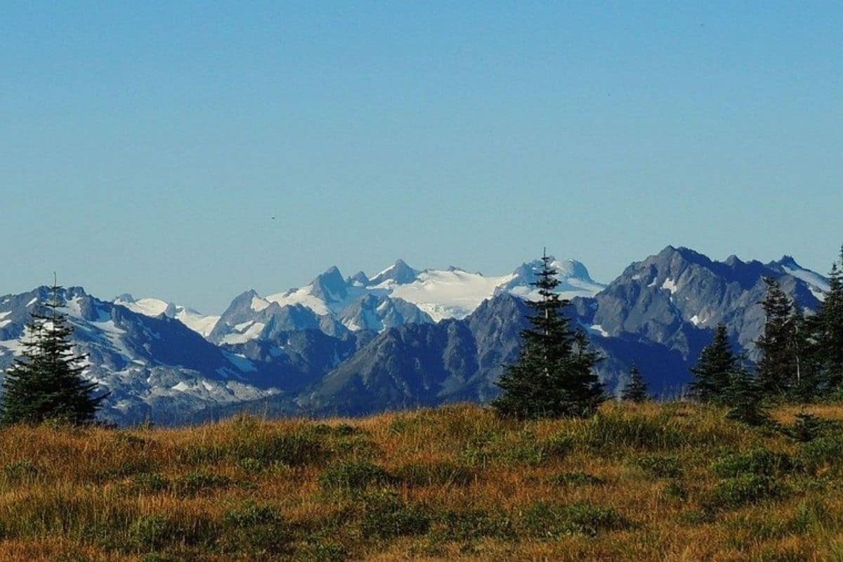
We leave the coastal environment around Port Angeles and climb through forest until broad mountain views begin opening around us. On a clear day, the Olympic Mountains spread across the horizon in a landscape that feels completely removed from the coast below.
Families can enjoy the scenery without committing to a strenuous hike. Shorter walks provide opportunities to explore the high-country environment, while simply spending time at the ridge can be worthwhile when visibility is good.
Wildlife may include deer, marmots and numerous bird species, although sightings should always be treated as a privilege rather than an expectation.
2026 Planning Note
Hurricane Ridge is undergoing significant changes following the 2023 fire that destroyed the former Hurricane Ridge Day Lodge.
For 2026, the National Park Service advises visitors that construction is underway for a replacement visitor contact station. Services are limited, and potable water is not available at Hurricane Ridge, so families should bring sufficient drinking water with them.
Summer congestion can also be substantial. When the parking area fills, vehicles may be held farther down the road until spaces become available.
Check current conditions shortly before visiting rather than assuming access and services are exactly as they were on a previous trip.
Why the Olympic Mountains Are Here
The Olympic Mountains tell a fascinating geological story.
Unlike many mountains formed far inland, the rocks that became the Olympics originated largely beneath the ocean. Over millions of years, movement of tectonic plates scraped, folded and uplifted marine sediments and volcanic material as the oceanic plate moved beneath the edge of North America.
Eventually, material that had once been beneath the sea became mountains rising thousands of feet above it.
That idea may sound almost backwards to children: we're standing on a mountain whose geological story partly began beneath an ancient ocean.
But the Pacific Northwest is built by powerful geological processes that are still operating today. We'll encounter another consequence of those forces when we reach Mount Rainier.
Lake Crescent — Deep Blue Water Beneath the Mountains
West of Port Angeles, Lake Crescent provides a completely different experience.
The deep, clear lake lies between steep forested mountains and occupies a basin shaped by glaciers. Its striking blue-green colour results partly from its great depth and exceptionally clear, nutrient-poor water.
After the exposed mountain scenery of Hurricane Ridge, Lake Crescent feels sheltered and intimate. Families can walk beside the shore, picnic beneath the trees or simply spend some time near the water before continuing around the peninsula.
There's also a particularly good family walk nearby.
Marymere Falls — A Forest Walk With a Destination
The trail to Marymere Falls begins near Lake Crescent and passes through old forest before reaching a waterfall that drops approximately 90 feet through a mossy ravine.
At roughly 1.8 miles round trip, it's long enough to feel like a proper walk but manageable for many families. More importantly, the trail provides interest throughout the journey.
We're not simply walking a forest road waiting for something to happen at the end. Large trees, ferns, streams and changing forest light make the walk itself part of the experience.
That's exactly the kind of family trail we want on a road trip.
Family Travel Insight
Olympic is a wet environment, and wooden surfaces, roots and rocks can remain slippery even when it isn't actively raining.
Good footwear and a lightweight waterproof layer are considerably more useful here than worrying about whether everyone looks fashionable in the family photographs.
The rainforest will not judge us.
The Elwha River — A Remarkable Story of Restoration
Before we move deeper into the peninsula, Olympic gives us one of the most important environmental stories in the entire guide.
The Elwha River flows from the Olympic Mountains toward the Strait of Juan de Fuca. During the early twentieth century, two large dams were constructed on the river to provide electricity for regional development. Neither included fish passage, effectively blocking migrating salmon from more than 70 miles of habitat.
For Indigenous peoples of the Lower Elwha Klallam Tribe, whose lives and culture have long been connected with the river and its salmon, the consequences were profound.
Then something extraordinary happened.
Between 2011 and 2014, both dams were removed in what became the largest dam-removal project in U.S. history at the time. The river began flowing freely again, sediment that had accumulated behind the dams moved downstream, habitats changed and salmon regained access to stretches of river they had been unable to reach for generations.
This isn't a simple story where everything immediately returned to exactly the way it had been. Ecological restoration rarely works like that.
But for families, the Elwha provides a powerful example of something children don't always hear when learning about environmental problems:
Sometimes people decide to undo the damage.
The Olympic Peninsula Is Indigenous Homeland
Just as we did in Monument Valley and along the Columbia, we need to understand whose landscapes we're travelling through.
The Olympic Peninsula has been home to Indigenous peoples for thousands of years. Tribal Nations including the Lower Elwha Klallam, Jamestown S'Klallam, Port Gamble S'Klallam, Makah, Quileute, Quinault, Hoh and Skokomish maintain deep cultural relationships with lands and waters throughout the region.
These communities aren't historical footnotes to the national park. They're contemporary sovereign Tribal Nations.
That distinction becomes especially important as we travel toward the Pacific coast, where national-park lands meet Tribal lands in several areas. Respect signs, boundaries and access requirements rather than assuming every road or beach on the peninsula operates under the same rules.
Hoh Rain Forest
Entering One of America's Great Temperate Rainforests
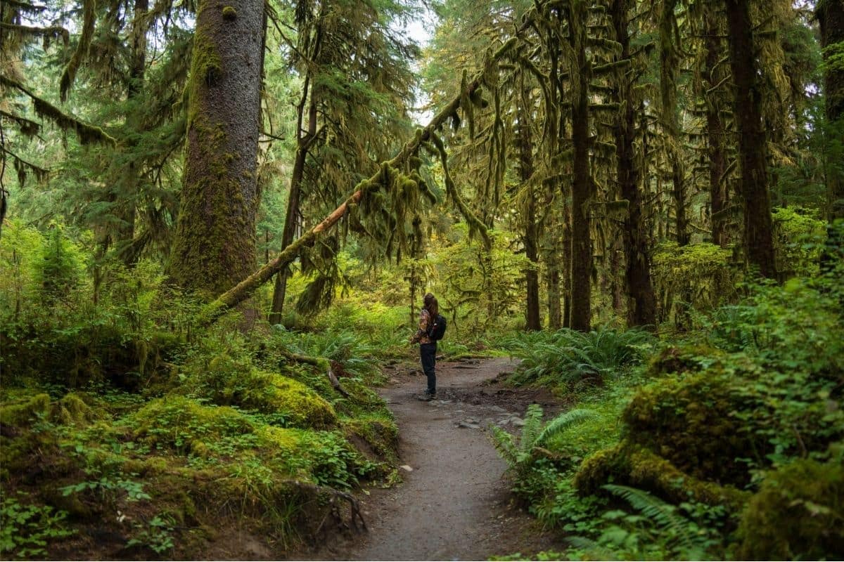
Eventually our route reaches the western side of Olympic National Park and the celebrated Hoh Rain Forest.
This is where the Pacific Northwest's reputation for rain becomes spectacularly visible.
Moist air from the Pacific moves inland and rises against the Olympic Mountains. As the air cools, it releases enormous amounts of precipitation on the western slopes, creating conditions where trees can reach extraordinary sizes and mosses, ferns and lichens cover almost every available surface.
The result isn't a tropical jungle. It's a temperate rainforest, dominated by species adapted to the cooler climate of the Pacific Northwest.
Rather than simply standing at the edge describing how green everything looks, we're going to walk into it.
Hall of Mosses — A Small Trail Through an Enormous Forest
The Hall of Mosses Trail is only about 0.8 miles, making it one of Olympic's most accessible introductions to the rainforest.
The short loop passes beneath towering trees draped with mosses and through an understory filled with ferns. Because the trail is short, families can move slowly and pay attention to what's happening around them.
Look upward at branches covered in epiphytes—plants and other organisms growing upon plants without necessarily taking nutrients from them. Then look down at fallen trunks becoming nurseries for seedlings and fungi.
In a healthy rainforest, a fallen tree isn't simply dead wood waiting to disappear.
It becomes habitat.
Spruce Nature Trail — Following the Forest Toward the River
Families wanting a little more can add the approximately 1.2-mile Spruce Nature Trail.
This loop explores a somewhat different part of the Hoh environment, including areas closer to the Hoh River. Together, the Hall of Mosses and Spruce Nature Trail provide a satisfying rainforest experience without requiring a long backcountry hike.
That's an excellent trade on a multi-day road trip because we still have an entire Pacific coastline waiting for us.
Why Everything Grows on Everything Else
One of the most fascinating things for children to notice in the Hoh is that the forest seems to grow in layers.
Moss hangs from branches, ferns cover the forest floor and sometimes grow from decaying logs, while young trees establish themselves on fallen trunks known as nurse logs. Fungi help break down dead material and return nutrients to the ecosystem.
Even enormous old trees eventually fall and become part of the next generation of forest.
Nothing is wasted. The rainforest is essentially a gigantic recycling system operating over centuries.
Nature Note
Resist the temptation to touch or pull hanging moss for photographs.
The forest looks indestructible because everything grows so vigorously, but thousands of visitors handling vegetation or leaving trails can cause cumulative damage.
Stay on established paths and let children discover with their eyes.
Roosevelt Elk — Giants of the Rainforest
Olympic is home to Roosevelt elk, the largest subspecies of elk in North America.
The animals played an interesting role in the park's conservation history. Concern about declining elk populations contributed to efforts to protect the Olympic Peninsula during the early twentieth century.
President Theodore Roosevelt created Mount Olympus National Monument in 1909, partly to protect the elk, and Olympic National Park was established in 1938.
Roosevelt elk can sometimes be seen in river valleys and forest openings, particularly around the Hoh and other western areas. They are magnificent animals, but they're also large, powerful and wild.
Wildlife Tip
If elk appear near a road or trail, give them considerable space.
Never move closer because somebody wants a photograph, and be especially cautious around females with young or males during the autumn rut.
Wildlife photography has a very useful rule:
If the animal changes its behaviour because of us, we're too close.
2026 Hoh Rain Forest Planning
The Hoh's popularity creates a practical challenge during the busiest months.
The National Park Service warns that summer visitors can encounter one- to two-hour waits to enter the Hoh Rain Forest area when parking reaches capacity. The park recommends arriving before 10 a.m. or after 5 p.m. during busy periods when possible.
That's significant family-planning information. Two hours sitting in a queue with children isn't an atmospheric rainforest experience.
It's a traffic jam.
Adjusting our day can make an enormous difference.
Ruby Beach — Where the Rainforest Meets the Pacific
From the Hoh, we continue toward the western edge of the continent.
At Ruby Beach, Olympic's forest finally meets the Pacific.
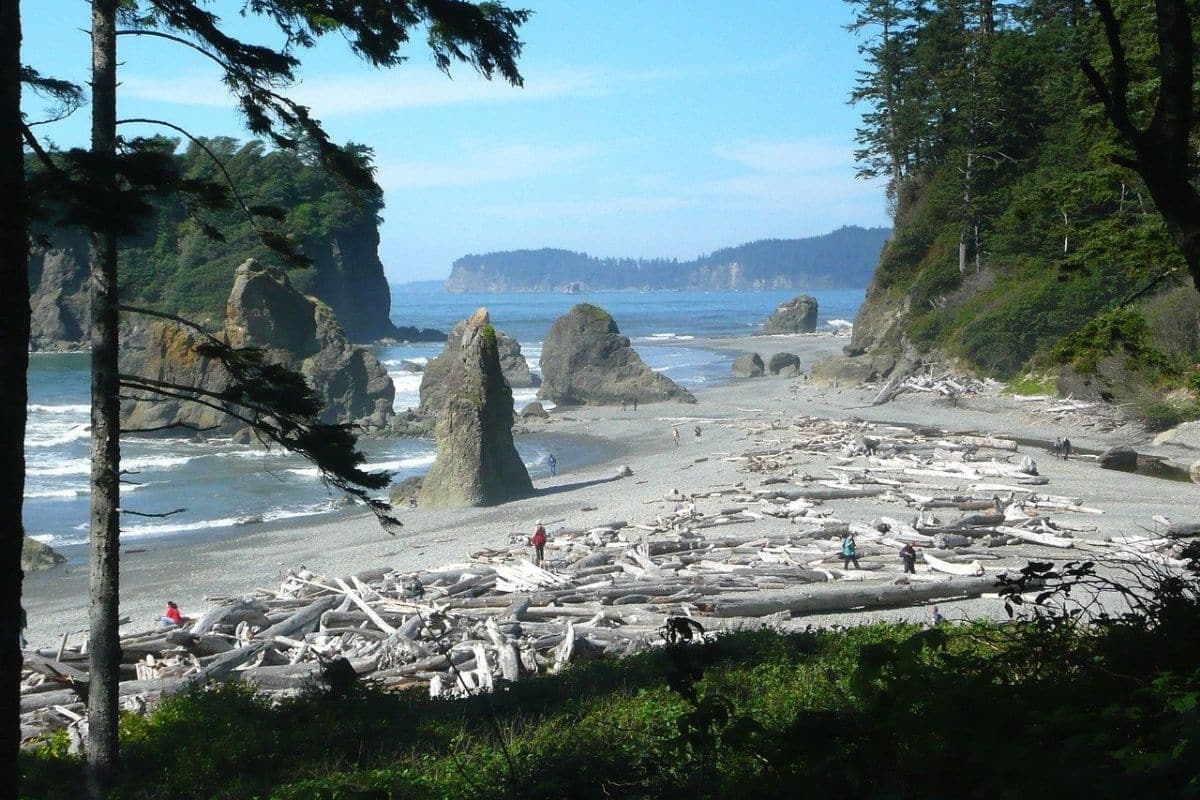
Enormous driftwood logs lie along the upper shoreline, sea stacks rise offshore and waves break against dark sand and rock. This is not the Oregon beach-town experience we had at Cannon Beach and Seaside.
There are no promenades or ice-cream shops waiting behind the dunes.
The attraction is the coast itself.
Driftwood Is More Powerful Than It Looks
Those enormous logs scattered along Olympic's beaches create spectacular photographs, but families should treat them with considerable respect.
Pacific waves can move surprisingly large pieces of driftwood. A log that appears impossibly heavy while lying on the beach can become extremely dangerous when lifted or rolled by surf.
Keep children away from driftwood near the active waterline, watch the ocean continuously and never assume a calm period means the next wave will behave the same way.
The Pacific doesn't read our itinerary.
Tide Pools & the Changing Shore
Low tide can reveal pools and rocky areas inhabited by sea stars, anemones, mussels and other marine organisms. As at Cannon Beach, check tide predictions and explore carefully.
But Olympic's coast adds another dimension.
Much of this shoreline feels genuinely remote, and weather, tides and access conditions can change quickly. Some coastal areas also adjoin Tribal lands, where different access rules may apply.
Know where we are, respect the boundaries and don't allow the desire to reach one more sea stack to put the family between an incoming tide and an inaccessible headland.
One of Those Moments...
Perhaps we arrive at Ruby Beach late in the afternoon after spending the morning in the Hoh Rain Forest.
Only a few hours ago, we were walking beneath trees draped in moss while the forest floor absorbed almost every sound. Now the Pacific is anything but quiet.
Waves break against the shoreline, wind moves through the coastal trees and enormous driftwood trunks show us just how much force the ocean can deliver.
The contrast is remarkable. Mountains, rainforest and wild coast all belong to the same national park, yet each feels like a completely different journey.
That's when Olympic begins to make sense.
Its greatest attraction isn't one famous viewpoint. It's the transition between worlds.
Why Olympic National Park Stays With You
Olympic is one of those places where geography creates extraordinary variety.
Mountains rise in the centre of the peninsula and force moisture from Pacific air, helping create the rainforests on their western slopes. Rivers carry snowmelt and rain toward the sea, supporting salmon and wildlife along the way. Eventually those forests reach a coastline shaped continuously by waves, tides and storms.
People are part of that story too.
Tribal Nations have lived throughout the peninsula for thousands of years. The Elwha demonstrates both the consequences of changing a river and the possibilities created when people choose restoration. National-park protection has helped preserve landscapes and wildlife, but managing millions of visitors presents its own challenges.
For families, Olympic offers something especially valuable: in a relatively short journey, children can stand on a mountain ridge, walk beside a glacial lake, explore a temperate rainforest and watch the Pacific Ocean rearranging a beach.
Tomorrow we're leaving the peninsula, but the geological forces that created the Olympic Mountains haven't finished with our journey.
Farther southeast, one enormous peak begins dominating the horizon whenever the clouds allow it.
It isn't merely a mountain.
It's an active volcano covered with glaciers.
We're heading for Mount Rainier.
Mount Rainier National Park
The Mountain That Defines the Horizon
Leaving the Olympic Peninsula and travelling southeast, the landscape gradually changes again.
Then, if the clouds cooperate, Mount Rainier appears.
At 14,410 feet (4,392 metres), Rainier rises dramatically above the surrounding lowlands and can be seen from much of western Washington. Its broad white summit looks almost unreal from a distance, particularly when it seems to float above towns and forests on a clear day.
But Mount Rainier isn't simply the tallest mountain in Washington. It's an active volcano, heavily covered with snow and ice, and the source of rivers that flow outward through forests and communities far below.
After exploring the Columbia River, Pacific coastline and Olympic Peninsula, Rainier provides a fitting finale because many of the themes we've encountered throughout the Pacific Northwest come together here:
water, forests, geology, wildlife and people living beside powerful natural forces.
A Volcano Covered in Ice
Mount Rainier belongs to the Cascade volcanic arc, created by the same broad tectonic process that helped shape much of the Pacific Northwest.
Off the coast, the Juan de Fuca Plate is being forced beneath the North American Plate. Water and other materials carried downward contribute to melting deep within the Earth, generating magma that can rise toward the surface.
Over immense periods of time, repeated eruptions built the mountain we see today.
Rainier is therefore not an extinct monument from a geological past. The U.S. Geological Survey considers it an active volcano and monitors it continuously.
That doesn't mean families should arrive expecting an eruption. It means we're visiting a landscape that is still evolving.
Why Mount Rainier Has So Many Glaciers
Rainier's height and heavy snowfall allow substantial amounts of snow to survive from one year to the next. As accumulated snow compresses into ice and begins moving slowly downhill, glaciers form.
Mount Rainier contains the largest glacial system in the contiguous United States on a single peak, with glaciers and perennial snowfields covering thousands of acres. These frozen reservoirs help feed rivers radiating away from the mountain.
That gives children a wonderful connection to something we've seen repeatedly during this chapter.
Water falling as snow high on Rainier may eventually melt, enter a river, pass through forests and continue toward the Pacific.
The mountain and coast aren't separate worlds. They're connected by water.
Paradise — A Landscape Worthy of the Name
For many first-time families, Paradise is the natural introduction to Mount Rainier.
Located on the mountain's southern side at approximately 5,400 feet, Paradise provides close views of Rainier and access to alpine and subalpine meadows that become famous for wildflowers during the short mountain summer.
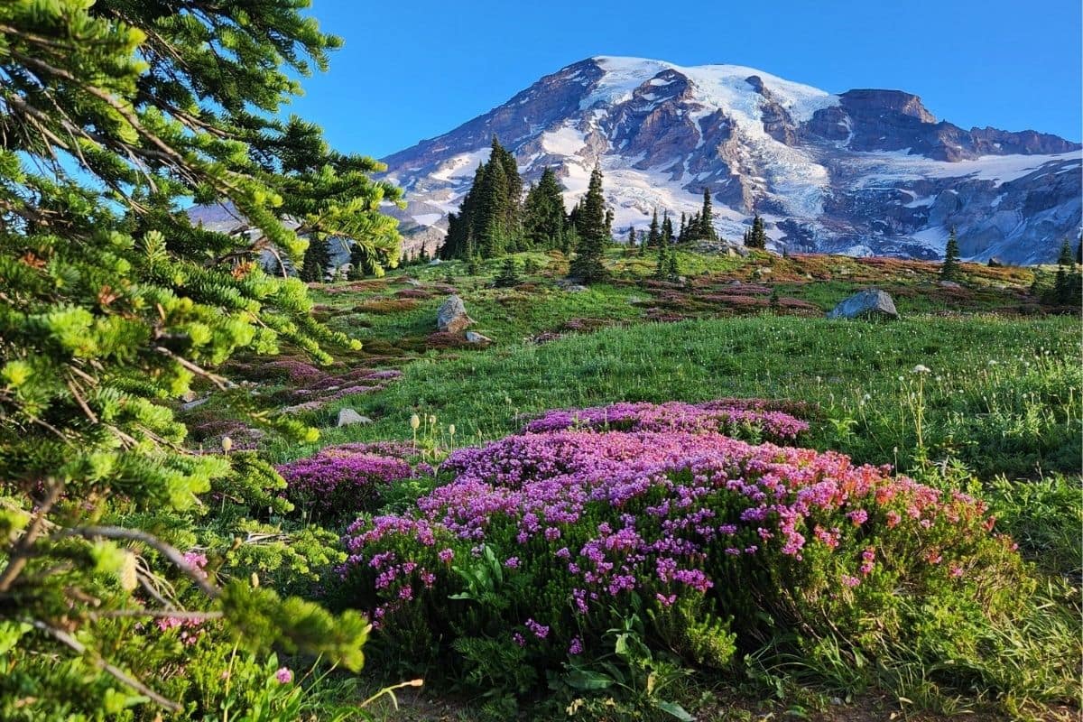
The scenery changes dramatically with the seasons. Snow can linger well into the period when lower elevations are enjoying warm weather. Later, meadows may fill with lupine, paintbrush, avalanche lilies and other wildflowers before autumn arrives surprisingly quickly.
The lesson is simple: don't plan a Paradise visit according to the weather at our hotel.
Mountain conditions can be completely different.
The Henry M. Jackson Memorial Visitor Center
The Henry M. Jackson Memorial Visitor Center at Paradise is a useful first stop before heading onto the trails.
Exhibits introduce families to the mountain's geology, glaciers, wildlife and human history, while park staff can provide current information about trails, weather and conditions.
That's particularly useful at Rainier because conditions can change quickly with elevation.
A trail recommendation we read online several months ago isn't nearly as valuable as information from somebody who knows what happened on the mountain this morning.
Myrtle Falls — A Family Walk With a Remarkable View
Families wanting a relatively short introduction to Paradise can consider the walk toward Myrtle Falls.
The waterfall is attractive in its own right, but on a clear day the real magic is the setting: meadow, waterfall and the enormous snow-covered mass of Mount Rainier rising behind them.
This is exactly the kind of walk that works well in our larger road trip. We don't need to spend six hours climbing toward the mountain to feel as though we've experienced it.
A shorter outing leaves time to explore, eat properly and enjoy the scenery without turning the final national park of the journey into an endurance contest.
Family Travel Insight
Never assume that a short trail at Rainier will be snow-free because it's summer.
Conditions depend upon elevation, recent weather and the year's snowpack. Check current trail information and bring footwear and layers appropriate for what actually exists on the mountain.
The calendar doesn't melt snow.
The Skyline Trail — Magnificent, but Not Essential
More experienced families may be interested in the Skyline Trail, one of Paradise's signature hikes.
The loop climbs considerably higher through meadows and rocky alpine terrain, providing outstanding views of Rainier and, in suitable conditions, other Cascade peaks.
It's also much more demanding than a casual stroll around Paradise.
For families with younger children—or anyone who has already accumulated plenty of hiking miles during this road trip—there is absolutely no reason to feel we're missing Mount Rainier because we didn't complete it.
Walk a shorter section, enjoy the meadows, visit Myrtle Falls and look at the mountain.
We've still experienced Paradise.
Throughout this guide, that's an important principle worth repeating occasionally:
A family vacation isn't a competition.
Please Don't Pick the Wildflowers
Rainier's summer meadows can look abundant enough that picking one flower seems harmless, but multiply that decision by thousands of visitors and the problem becomes obvious.
The growing season at high elevation is extremely short, and delicate vegetation can be damaged by people leaving established trails or trampling meadow plants while trying to obtain photographs.
Stay on designated trails and don't pick wildflowers. Children can photograph them, identify them and see how many different colours they can find.
Then leave them for the next family.
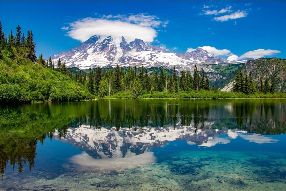
Chapter Ten
The Great River Road
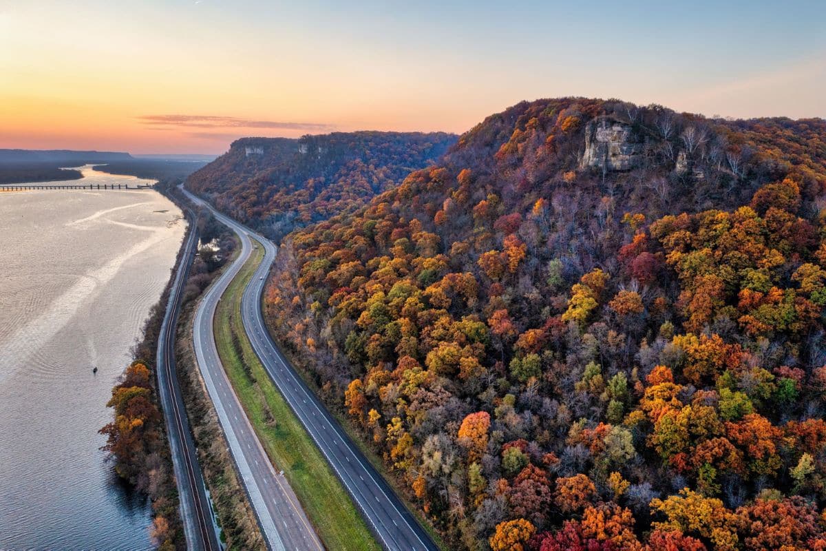
Following the Mississippi From a Northern Stream to the Gulf
Lake Itasca → Minneapolis–St. Paul → Mississippi River Towns → St. Louis → Memphis → Mississippi Delta → New Orleans → Louisiana Wetlands
Some road trips are defined by mountains. Others follow coastlines, cross deserts or connect famous cities.
The Great River Road is different because one river gives the entire journey its direction.
Beginning among the forests and lakes of northern Minnesota, we'll follow the Mississippi River as it grows from a stream shallow enough for children to walk across into one of the great waterways of North America.
Along the way, almost everything changes. Northern forests give way to cities, farmland and towering river bluffs. Small towns become historic ports, barges replace canoes and the river gradually becomes wider, busier and more powerful.
Farther south, we'll encounter Indigenous history, immigration, steamboats and the Civil War before following the development of blues, rock 'n' roll and jazz through places such as Memphis, the Mississippi Delta and New Orleans.
Eventually, we'll reach Louisiana's wetlands, where the Mississippi completes a journey of more than 2,300 miles from Lake Itasca toward the Gulf.
This isn't simply a scenic drive beside a river. It's a journey through an enormous cross-section of American geography, history and culture.
First, What Exactly Is the Great River Road?
Despite the name, the Great River Road isn't one continuous highway.
It's a collection of designated roads that generally follow the Mississippi through 10 states, using a familiar green pilot-wheel symbol to help travellers stay on the route.
That actually makes the journey more interesting. Sometimes we'll drive immediately beside the river; at other times, the road moves inland through farmland, towns and forests before reconnecting with the Mississippi farther downstream.
Families also shouldn't feel obligated to follow every official mile. For this guide, we're choosing the places that best tell the story of the river and provide worthwhile family experiences. If a slightly different road takes us to a fascinating town, museum, wildlife area or historic site, we're taking it.
The Mississippi is our guide, not our prison.
How Long Does the Great River Road Take?
This is one of the longest journeys in our guide, and families shouldn't underestimate the distances involved.
Driving from northern Minnesota all the way to southern Louisiana could consume several days even if we barely stopped, which would defeat the entire purpose of taking the Great River Road.
For the complete journey, I'd think in terms of approximately two to three weeks, with more time being even better.
Families with a shorter vacation can easily choose one region instead. The Upper Mississippi through Minnesota, Wisconsin and Iowa makes a rewarding road trip on its own, as does the music-and-history journey from St. Louis through Memphis and Mississippi to New Orleans.
Trying to “complete” the Great River Road shouldn't be the goal. Understanding how the river changes as we travel south is much more interesting.
Itasca State Park
Where the Mississippi Begins
Our journey starts somewhere that doesn't look remotely capable of producing one of the world's famous rivers.
Itasca State Park in northern Minnesota protects more than 32,000 acres of lakes and forest and, established in 1891, is Minnesota's oldest state park.
Deep within this wooded landscape lies Lake Itasca. At its northern end, water slips quietly from the lake and begins flowing between the trees.
This is the headwaters of the Mississippi River.
There is no dramatic canyon, enormous waterfall or thundering current to announce the beginning. According to the Minnesota Department of Natural Resources, the river here is only about 18 feet wide and roughly knee-deep, moving slowly away from Lake Itasca before beginning its long journey south.
For families, that modest beginning creates one of the most memorable experiences on the entire Great River Road.
Walking Across the Mississippi
At the headwaters, a line of rocks crosses the shallow water.
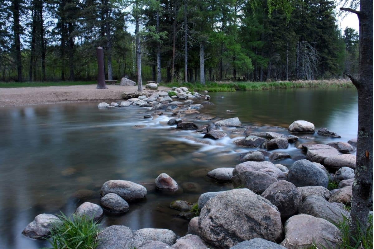
During suitable conditions, visitors remove their shoes, step carefully across the stones or wade through the water and do something that will become impossible surprisingly soon: walk across the Mississippi River.
Children may need a moment to understand what they're doing. The river they have heard about in geography lessons—the Mississippi of paddle steamers, enormous bridges, New Orleans and songs—is flowing around their ankles.
The Minnesota DNR's half-mile headwaters loop begins near the Mary Gibbs Mississippi Headwaters Center, following an accessible combination of concrete, asphalt, gravel and boardwalk beside the young river.
The park also has picnic areas, a playground, swimming beach and numerous longer trails, so families don't have to treat the headwaters as a photograph-and-leave attraction.
Family Travel Insight
Bring water shoes or sandals if the children hope to wade across the headwaters, and remember that water levels and conditions can vary.
There's also no need to hurry everyone across for the perfect photograph. Give children time to stand in the water and look downstream.
We'll eventually ask them to remember how small the river was here.
Is Lake Itasca Really the Source?
The answer is more interesting than a simple yes.
For generations, European and American explorers debated where the Mississippi actually began. Rivers don't conveniently place signs beside themselves identifying their official starting points, and the complicated network of lakes and streams in northern Minnesota made the question particularly difficult.
In 1832, explorer and geographer Henry Rowe Schoolcraft identified Lake Itasca as the source of the Mississippi during an expedition assisted by Ozawindib, an Ojibwe guide whose knowledge of the region was crucial.
Later surveys helped establish Lake Itasca as the accepted headwaters.
That history gives us an important perspective: European-American explorers were trying to “discover” a landscape that Indigenous peoples already knew intimately.
Before the Mississippi Had Road Signs
Long before anyone painted a Great River Road marker, Indigenous peoples used the Mississippi and surrounding waterways as transportation routes, food sources and places of community.
The upper Mississippi region has deep connections with both Dakota and Ojibwe peoples, whose histories in Minnesota extend far beyond the arrival of European explorers and fur traders. The National Park Service notes that the river functioned as a highway through Indigenous landscapes long before newcomers began mapping it.
That's worth establishing at the very beginning of our journey because we'll encounter Indigenous history repeatedly as we travel south.
The Mississippi didn't become important when Europeans found it. It was already important.
A Park Worth Exploring
Families could easily spend a full day or overnight at Itasca rather than leaving immediately after visiting the headwaters.
The park contains more than 100 lakes, old-growth pine forest and over 45 miles of hiking trails. Families can also cycle, paddle, fish or explore the scenic Wilderness Drive, depending on season and current conditions.
One worthwhile stop is Preacher's Grove, where tall red pines provide a glimpse of the forests that once covered much larger areas of northern Minnesota.
During the nineteenth century, logging transformed enormous portions of the state's northern forests. Rivers became essential to that industry because cut logs could be floated downstream toward sawmills and growing communities.
Already, we're beginning to see a pattern that will continue for thousands of miles. People didn't merely settle beside the Mississippi because the view was attractive.
The river made things possible.
The Mississippi Starts by Going North
Here's something children may enjoy discovering: when the Mississippi leaves Lake Itasca, it doesn't immediately head straight toward Louisiana.
It initially winds northward toward Bemidji, then turns east and eventually south as it works its way through Minnesota. The river travels hundreds of miles within the state before reaching the Iowa border.
That winding beginning is a useful warning about the journey ahead.
Following a river rarely means travelling in a straight line.
Bemidji — Our First River Town
From Itasca, we follow the young Mississippi toward Bemidji.
By now the stream we've just walked across has already begun changing, passing through lakes and gathering water from the surrounding landscape.
Bemidji makes a natural first town on our journey and a convenient place for families to eat, stay overnight or simply take a break beside the water.
The city also introduces us to one of northern Minnesota's most famous pieces of folklore.
Paul Bunyan & Babe the Blue Ox
Beside Lake Bemidji stand enormous statues of Paul Bunyan and Babe the Blue Ox.
Paul Bunyan belongs to the larger-than-life tradition of North American lumberjack folklore, where stories exaggerated the dangers, characters and accomplishments of the logging camps into almost impossible adventures.
Depending on which story we're told, Paul created lakes with his footprints, carved landscapes while dragging his axe and performed feats no ordinary lumberjack could possibly manage.
Children don't need to believe any of it. That's rather the point.
Folklore tells us something about the people who created and repeated the stories. In northern Minnesota, Paul Bunyan reflects a period when logging camps and lumber production played enormous roles in local life.
So take the ridiculous family photograph beside the giant lumberjack, then explain why lumberjacks mattered here in the first place.
Following a River That Is Growing Up
South of Bemidji, the Mississippi continues collecting water from streams, lakes and tributaries, becoming progressively harder to imagine stepping across.
Forests still dominate much of the landscape, but signs of settlement and industry become more frequent. Bridges grow larger, towns appear along the banks and the river begins taking on the character of a working waterway.
This gradual transformation is one of the pleasures of the Great River Road.
If we flew directly from Minnesota to New Orleans, we'd see two completely different rivers. By driving between them, we get to watch one become the other.
Road-Trip Tip
Don't try to stop at every small town or roadside marker during the northern section.
Choose places that add something different to the journey, and allow spontaneous stops when something genuinely catches the family's attention.
The Great River Road is too long for checklists.
One of Those Moments...
Before leaving Itasca, perhaps we return to the headwaters once more in the quieter light of morning.
A child steps carefully onto the rocks while water flows around their shoes. A few yards downstream, the river disappears between the trees, looking no more significant than countless other streams we've passed on family trips.
Yet that water has an extraordinary journey ahead.
It will flow through forests and cities, beneath bridges and past farms. Tributaries will make it wider and deeper, while communities will use it for food, transportation, industry and recreation. Eventually ships large enough to cross oceans will travel on the same river that begins here beneath the Minnesota pines.
For now, though, it's small enough to cross on foot.
That's the image worth remembering because from this point onward, we're going to watch the Mississippi grow.
Toward the Twin Cities
Leaving northern Minnesota, the Great River Road begins carrying us toward a very different landscape.
The river that started quietly at Lake Itasca will soon reach Minneapolis and St. Paul, where waterfalls, flour mills, railroads, immigration and industry transformed both the Mississippi and the communities beside it.
This is where the river stops being merely something we follow through the forest.
It begins helping build a city.
Minneapolis & St. Paul
Where the Mississippi Begins Building Cities
By the time the Mississippi reaches Minneapolis and St. Paul, it no longer resembles the little stream we stepped across at Lake Itasca.
The river is wider and more powerful, bridges connect busy neighbourhoods on opposite banks and the quiet northern landscape has given way to one of the largest metropolitan areas on the entire Great River Road.
This is also where we begin to understand why cities developed where they did.
Minneapolis grew around St. Anthony Falls, the only true waterfall on the entire Mississippi River. Long before mills and factories appeared, however, the falls and surrounding river landscape held great cultural and spiritual significance for Dakota people, who knew the falls as Owámniyomni.
Later newcomers saw something else in the falling water.
They saw power.
St. Anthony Falls—The Waterfall That Powered Minneapolis
During the nineteenth century, St. Anthony Falls became an extraordinary source of industrial energy.
Water from the Mississippi powered sawmills processing timber from Minnesota's forests. As agriculture expanded across the Great Plains, flour milling became increasingly important, and the falls powered enormous mills that transformed wheat arriving by rail into flour shipped throughout the country and eventually around the world.
For a period, Minneapolis became known as the flour-milling capital of the world.
This is a wonderful place for families to stop and think about the river differently. At Itasca, the Mississippi was something we could walk across. Here in Minneapolis, that same water helped power an industrial city.
The river hasn't simply become larger. Its role in people's lives has changed.
Mill City Museum — Making Industrial History Fun
If we choose one family attraction in Minneapolis for this road trip, I'd make it Mill City Museum.
The museum occupies the ruins of the enormous Washburn A Mill, which opened in 1874 beside St. Anthony Falls. Wheat arrived from the western plains, the Mississippi supplied power and railways carried the finished flour toward distant markets.
The original mill also provides a dramatic reminder that nineteenth-century industry could be dangerous.
In 1878, airborne flour dust ignited, causing a catastrophic explosion that killed 18 people and destroyed the mill along with much of the surrounding riverfront industrial area. A rebuilt Washburn A Mill later became one of the world's largest flour mills.
Today the museum makes that industrial history surprisingly engaging for families.
Children can experiment with water power, learn how wheat becomes flour and ride the Flour Tower, an elevator experience that moves through different levels of the old mill while former workers' stories help recreate its working years.
There's even a Baking Lab where families can learn how different grains affect flour and, depending on programming, sample something considerably tastier than a history textbook.
Family Travel Insight
This is exactly the sort of museum I'd include on a long road trip because it connects directly with something we've already seen.
Children aren't learning about an unrelated industry simply because we needed a rainy-day attraction. They've been following the Mississippi, and now they can discover what people learned to do with its power.
The Stone Arch Bridge — From Railroads to River Walks
Beside the old milling district, the Stone Arch Bridge provides another chapter in Minneapolis' transformation.
Railroad entrepreneur James J. Hill completed the bridge in 1883, creating a route across the Mississippi for trains carrying people and goods. Built from native granite and limestone, the bridge stretches approximately 2,100 feet across the river below St. Anthony Falls.
Trains no longer thunder across it. Today the historic bridge is used primarily by pedestrians and cyclists, giving families an excellent view of the river, falls and former milling district.
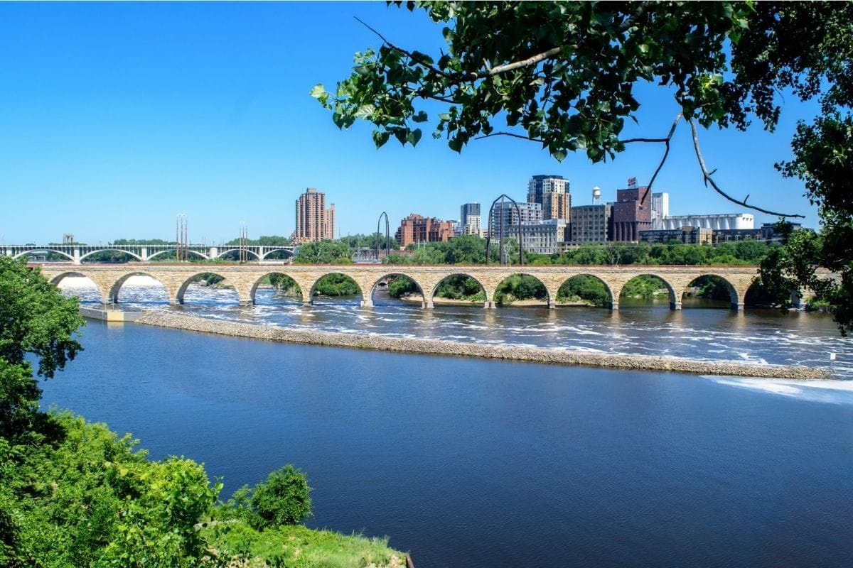
That change feels appropriate: a structure built to move industrial traffic across the Mississippi has become a place where families can slow down and understand what they're looking at.
Nearby Mill Ruins Park preserves remnants of the old milling district, while interpretive trails help connect the industrial ruins, falls and surrounding riverfront.
A Waterfall People Nearly Destroyed
There's another fascinating part of the St. Anthony Falls story.
Industrial development didn't simply use the waterfall. It nearly destroyed it.
During the nineteenth century, mills, tunnels and poorly controlled engineering altered the riverbed so severely that the falls became unstable. After a disastrous tunnel collapse in 1869 threatened the future of the waterfall, major engineering work was eventually undertaken to stabilise it.
The falls we see today are therefore both a natural feature and a landscape heavily modified by people.
That makes St. Anthony Falls an excellent example of something we'll see repeatedly along the Mississippi. People depend upon the river, reshape it and then sometimes have to solve problems created by those earlier changes.
The relationship is rarely simple.
Minneapolis and the Dakota Story
Industrial history shouldn't completely dominate our understanding of this stretch of river.
For Dakota people, the Mississippi and St. Anthony Falls were culturally important long before Minneapolis existed. The area also lay within a much larger Indigenous landscape of villages, travel routes, gathering places and sacred sites.
This is another reason the riverfront deserves more than a quick photograph. The same place can carry different histories for different people.
One family may look at St. Anthony Falls and see the birthplace of Minneapolis industry. Another story begins centuries earlier and understands the falls as part of a Dakota homeland.
Both belong in the history of the river.
St. Paul — A Different Mississippi City
Only a short distance downstream, St. Paul developed a different relationship with the Mississippi.
Where Minneapolis became closely associated with water power and milling, St. Paul's location below the falls made it an important river transportation and commercial centre.
Steamboats travelling upstream could reach St. Paul, bringing people, supplies and commerce to the growing settlement. The city's river landing became a gateway between the navigable Mississippi and communities developing farther into Minnesota.
This gives families an interesting comparison: two neighbouring cities grew beside the same river, but geography gave each one a somewhat different role.
Minneapolis harnessed falling water. St. Paul welcomed river traffic.
The Mississippi Is Becoming a Working River
As we leave the Twin Cities, the river begins changing again.
Locks and dams increasingly regulate navigation, while barges become more common farther downstream. The Mississippi is no longer merely a scenic river flowing through northern forests or a source of power beside Minneapolis.
It's becoming a transportation corridor.
That transformation will continue throughout the chapter until we eventually watch oceangoing ships on the Lower Mississippi near New Orleans.
But before reaching those enormous vessels, we're entering one of the prettiest sections of the entire Great River Road.
Into Mississippi Bluff Country
South of the Twin Cities, steep wooded hills begin rising beside the river.
The landscape here owes much of its character to the Driftless Area, a region of southeastern Minnesota, southwestern Wisconsin, northeastern Iowa and northwestern Illinois that escaped much of the flattening and sediment deposition associated with the most recent continental glaciations.
Instead of the gentler terrain found across many neighbouring areas, families encounter deeply cut valleys, forested ridges, limestone cliffs and high viewpoints above the Mississippi.
The river itself becomes broader too, creating backwaters, islands and wetlands that provide valuable habitat for birds and other wildlife.
Now the Great River Road starts feeling like a scenic drive again, but this time we have towns worth getting out of the car for.
Red Wing — River Town, Pottery & a Giant Boot
Our first major stop is Red Wing, Minnesota.
The town sits beneath wooded bluffs beside the Mississippi and developed as an important nineteenth-century river and agricultural centre. Wheat from surrounding farms helped make Red Wing a significant grain market before changing transportation and agricultural patterns reshaped the local economy.
Red Wing later became famous for other products, particularly stoneware pottery and footwear.
That gives families several different ways to experience the town rather than simply driving through its historic streets. Walk downtown, explore the riverfront and, if curiosity wins, see the famously enormous boot associated with Red Wing's footwear heritage.
It may not be the most historically significant object on the Great River Road, but children may nevertheless remember it longer than several monuments we consider much more important.
And that's family travel.
Barn Bluff — Looking Down on the Mississippi
Rising immediately beside Red Wing is Barn Bluff, an unmistakable landmark that has guided people travelling along the river for generations.
The bluff is culturally significant to Dakota people and later became a landmark for river travellers and settlers.
Families interested in hiking can investigate current trail options and conditions, but climbing isn't necessary to appreciate why these bluffs matter.
From river level, they reveal how dramatically the landscape has changed since northern Minnesota. The Mississippi now flows through a broad corridor framed by high ground, and towns occupy strategic locations between river, valley and surrounding farmland.
Lake Pepin—A Lake That Is Really the Mississippi
South of Red Wing, the river suddenly appears to become a lake.
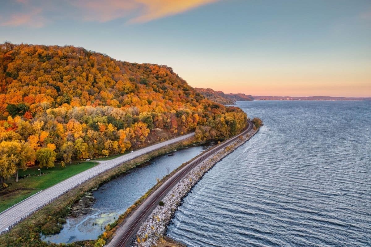
Lake Pepin stretches for roughly 20 miles along the Minnesota–Wisconsin border, but it isn't a separate lake in the conventional sense. It's a naturally widened section of the Mississippi River.
The lake formed because sediment carried by Wisconsin's Chippewa River accumulated where that river meets the Mississippi, effectively slowing the Mississippi and creating a broad body of water upstream.
That's a terrific geographical story for children. A tributary joining the Mississippi didn't merely add water; it helped change the shape of the main river itself.
The Birthplace of Water-Skiing
Lake Pepin also claims one of the more cheerful pieces of Great River Road history.
In 1922, teenager Ralph Samuelson experimented with boards on the water near Lake City, Minnesota, eventually developing a successful method of being pulled behind a boat while standing on them.
Water-skiing was born.
After some of the heavier history we've encountered—and considerably more that's coming—there's something delightful about stopping beside the Mississippi and discovering that a teenager once looked at this broad stretch of water and essentially thought:
I wonder if I can ski on that.
Sometimes history begins with a very good bad idea.
Wabasha — Where Eagles Gather
Continuing south brings us to Wabasha, one of the most useful family stops in this section of the river.
The Mississippi's open water, wooded bluffs and abundant fish make the region excellent habitat for bald eagles, particularly when winter conditions concentrate birds around areas of unfrozen water.
The National Eagle Center sits directly beside the Mississippi in Wabasha and houses non-releasable ambassador eagles while helping visitors learn about eagle biology, conservation and the river ecosystem. Families may also be able to watch wild eagles from the observation area.
As of 2026, the centre lists regular hours of 10 a.m. to 4 p.m. daily, although winter hours can differ, so check before building the day's schedule around it.
We'll add the clean official National Eagle Center link during our dedicated linking pass rather than keeping the current ChatGPT-tagged link in the draft.
The Return of the Bald Eagle
Seeing bald eagles along the Mississippi gives families an opportunity to tell one of America's great conservation success stories.
By the mid-twentieth century, bald eagle populations had declined dramatically because of habitat loss, shooting and contaminants including DDT, which caused eggshell thinning and reproductive failure.
Legal protection, habitat conservation and the banning of DDT helped populations recover dramatically. Today, spotting a bald eagle along parts of the Upper Mississippi is no longer an extraordinary rarity.
That's worth celebrating because conservation stories don't always have happy endings. This one largely does.
Wildlife Tip
Winter can provide particularly good eagle-watching opportunities along the Upper Mississippi, but families shouldn't stop on unsafe road shoulders when someone suddenly spots a bird.
Use established viewpoints and pull-offs. An eagle is considerably easier to enjoy when nobody is worrying about the traffic behind us.
Winona — Between River and Bluffs
Farther downstream, Winona sits on the Mississippi beneath steep wooded bluffs.
The town developed through river commerce, lumber and agriculture, and its historic centre reflects the prosperity generated during the nineteenth century.
Winona is worth considering as an overnight stop because it allows families to experience the Upper Mississippi at a more relaxed pace.
Explore downtown, walk beside the river or find a bluff-country viewpoint rather than spending another three hours watching the scenery through a windscreen.
The Great River Road works best when the towns interrupt the driving. They aren't obstacles between viewpoints; they're part of the journey.
One of Those Moments...
Late in the afternoon, perhaps we stop at a viewpoint above the Upper Mississippi.
The river spreads below us between wooded bluffs, with islands and backwaters breaking the surface into channels. A freight train follows one bank while a barge moves slowly along the water, and somewhere above the valley a bald eagle circles on rising air.
Think back to Lake Itasca. We could step across the Mississippi there.
Now we're looking down on a river broad enough to contain islands, commercial navigation and entire wildlife habitats, yet we've travelled only partway through Minnesota.
Ahead, the Great River Road will take us into Iowa and Illinois, where ancient earthworks reveal stories thousands of years older than the river towns surrounding them.
Then we'll meet steamboats, immigrants, Ulysses S. Grant and a young boy from Missouri who grew up beside the Mississippi and eventually gave the river one of its most famous literary voices.
His name was Samuel Clemens.
Most of the world knows him as Mark Twain.
Effigy Mounds National Monument
A Much Older Mississippi Story
As we continue south into northeastern Iowa, the Great River Road takes us directly past one of the most important historical stops of the entire journey.
Effigy Mounds National Monument protects more than 200 prehistoric mounds built by Indigenous peoples within a landscape of wooded bluffs overlooking the Mississippi.
Some are relatively simple conical mounds. Others were constructed in the shapes of animals, particularly bears and birds, creating earthworks that remain visible centuries after their builders shaped them.
Before we explore nineteenth-century river towns, steamboats and famous American writers, this is an important place to stop because it resets our sense of time.
The history of the Mississippi is much older than the cities built beside it.
Who Built the Mounds?
Indigenous peoples built mounds across portions of eastern North America for thousands of years, although the distinctive animal-shaped effigy mounds of this upper Mississippi region are generally associated with communities living here roughly between 650 and 1200 CE.
Their purposes were complex. Some mounds contain burials, while others may have carried ceremonial, cultural or territorial significance that cannot be fully reconstructed from archaeology alone.
That's worth explaining carefully to children.
Archaeologists can study objects, soils, construction patterns and landscapes, but they don't automatically know everything the builders believed. Modern Indigenous Nations also maintain cultural connections to these places, and the monument works with affiliated Tribal Nations in caring for and interpreting them.
We should therefore resist treating the mounds as archaeological puzzles left behind by a vanished people.
They are part of a continuing Indigenous landscape.
Fire Point — Mounds Above the Mississippi
Families who are comfortable with a moderate walk can consider the Fire Point Trail, a roughly two-mile round trip climbing about 350 feet through the forest.
The route passes more than 20 conical mounds, compound mound groups and the distinctive Little Bear Mound before reaching viewpoints overlooking the Mississippi. The National Park Service currently offers guided Fire Point walks during parts of the summer season, although schedules can change with weather and staffing.
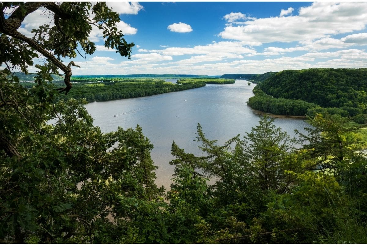
The climb gives families something particularly valuable: archaeology and landscape experienced together.
From above the river, it becomes easier to understand why generations of people were drawn to this corridor. The Mississippi provided transportation, food and connections with other communities, while the surrounding bluffs offered commanding views across the valley.
Family Travel Insight
Families wanting an easier experience can investigate the monument's lower trails and current ranger programs rather than assuming everyone needs to climb to Fire Point.
Bring water and insect repellent in warmer months, and check current conditions before setting out. The National Park Service notes that outdoor programs can be changed or cancelled during thunderstorms, heavy rain or excessive heat.
Most importantly, remind children that the mounds are protected cultural places.
We look, we learn and we leave them exactly as we found them.
Crossing Through River Country
South of Effigy Mounds, the Mississippi continues between Iowa and Wisconsin before reaching stretches bordered by Iowa and Illinois.
This is classic Upper Mississippi river country. Wooded bluffs rise behind towns established near useful landing places, railways follow the riverbank, bridges connect communities across state lines and barges move slowly through the navigation channel.
We could stop at dozens of towns, but we're not going to.
On a journey this long, the question isn't “Is this place interesting?” It's “Does this place add something we haven't already experienced?”
Our next major stop does.
Dubuque — Where River History Meets River Wildlife
Dubuque, Iowa, developed beside the Mississippi around mining, trade, transportation and industry, making it one of the oldest European-American cities in Iowa.
The area's history stretches much farther back, of course, through Indigenous communities and the river networks we've been following since Minnesota.
For families, however, Dubuque offers something particularly useful: a place where the natural and human stories of the Mississippi come together under one roof.
National Mississippi River Museum & Aquarium
The National Mississippi River Museum & Aquarium is one of the attractions I would deliberately allow several hours for.
Rather than being simply an aquarium or simply a history museum, it explores the Mississippi as an ecosystem, transportation corridor and working river.
Families can encounter river animals, boats, historical exhibits and hands-on science while seeing how people's lives have depended upon the Mississippi.
That combination is exactly what this journey needs. After days of looking at the river from roads and overlooks, children get to investigate what actually lives in it and how people have used it.
The museum also operates a MakerSpace with hands-on STEM activities, and current general admission is sold as a two-day pass, which can be useful if Dubuque becomes an overnight stop.
We'll add the clean official museum link during our dedicated linking pass.
Family Travel Insight
This is a good place to slow the itinerary down.
If we've spent the previous day hiking at Effigy Mounds and driving the Great River Road, an indoor attraction with animals, interactive exhibits, food and bathrooms may be welcomed enthusiastically by everyone.
Good family road trips alternate experiences. We don't need another overlook simply because the map contains one.
Locks, Dams & a River Redesigned for Navigation
By now families may have noticed structures along the Mississippi that weren't present at Lake Itasca.
The Upper Mississippi's modern navigation system uses a series of locks and dams to maintain a navigable channel for commercial vessels.
A lock works rather like an elevator for boats. A vessel enters a chamber, gates close and the water level is raised or lowered until the boat can continue at the level of the river on the other side.
For children who enjoy engineering, watching a towboat and barges pass through a lock can be surprisingly absorbing.
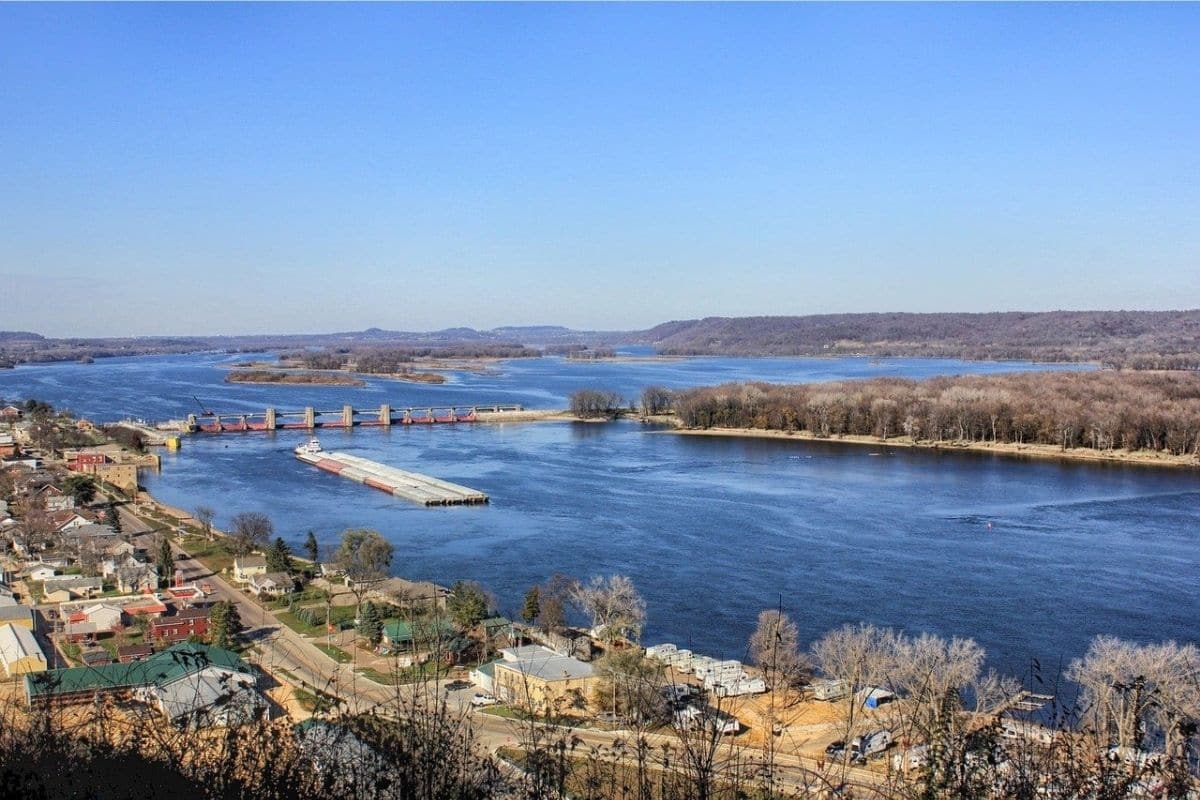
It also raises an important question: is the Mississippi we're following still a natural river?
The answer is complicated.
Its water, tributaries, floods and ecosystems are natural, but people have spent generations dredging channels, building levees, constructing dams and altering shorelines to make the river safer or more useful for transportation, agriculture and communities.
The Mississippi we see today is both natural and engineered.
That tension will become increasingly important as we travel south.
Galena — A Town the Railroad Left Behind
From the river corridor, a worthwhile detour takes us to Galena, Illinois.
The town's steep streets and remarkably well-preserved nineteenth-century buildings make it feel different from almost anywhere we've stopped so far.
Galena prospered through lead mining and Mississippi River commerce, becoming an important regional centre during the nineteenth century. Steamboats once connected the community with the Mississippi through the Galena River.
Then transportation patterns changed. Railroads expanded, river traffic shifted and Galena's economic importance declined.
Ordinarily, decline isn't something a town celebrates. Here, however, it helped preserve the past.
Because Galena didn't undergo the same scale of later redevelopment as rapidly growing industrial cities, much of its nineteenth-century architecture survived.
Today that makes the historic centre one of the pleasures of visiting. Walk rather than drive for a while, browse the shops, find lunch and look at the old commercial buildings climbing the hills.
After hundreds of miles beside the Mississippi, it's refreshing to explore a town at walking speed.
Ulysses S. Grant — Before the Presidency
Galena also introduces us to a person who will reappear much farther downriver.
Ulysses S. Grant moved with his family to Galena in 1860, where he worked in his family's leather-goods business after struggling financially during the years following his earlier army service.
When the Civil War began in 1861, Grant returned to military life. Within a few years, the relatively obscure Galena resident would become the leading Union general, accept Robert E. Lee's surrender at Appomattox and later serve two terms as President of the United States.
After the war, Galena residents presented Grant and his family with a furnished brick home. The Ulysses S. Grant Home survives today as a state historic site.
What's particularly useful about visiting Galena now is that we're meeting Grant before Vicksburg.
Later in Chapter Ten, we'll stand above the Mississippi at the site of one of his most consequential military campaigns.
That connection gives the journey continuity. We're not collecting unrelated historical names; we're going to encounter the same person's story farther downstream.
River Towns & the Steamboat Era
As we continue south, the Mississippi increasingly becomes associated with one of its most romanticised forms of transportation: the steamboat.
During the nineteenth century, steam-powered vessels carried passengers, agricultural products, manufactured goods and other cargo along the river and its tributaries. River towns prospered where boats could load, unload, refuel and connect with inland transportation.
But the popular image of elegant paddlewheelers and adventurous river pilots tells only part of the story.
Steamboats could be dangerous. Boilers exploded, vessels burned or struck submerged obstacles, and navigation changed with water levels and shifting channels. The commerce they supported was also intertwined with the economic and social systems of nineteenth-century America, including slavery in the South.
As our journey moves farther downstream, that history becomes impossible—and inappropriate—to separate from the story of the river.
Hannibal, Missouri
The Mississippi of Mark Twain
Then we reach Hannibal.
For generations of readers, this small Missouri river town helped define the imaginative Mississippi.
Samuel Langhorne Clemens, better known as Mark Twain, moved to Hannibal with his family in 1839, when he was about four years old, and remained until 1853. The town, river, caves, islands, people and experiences of his childhood later helped inspire settings and characters in The Adventures of Tom Sawyer and Adventures of Huckleberry Finn.
That makes Hannibal fun for families even if the children haven't read the books yet.
We're essentially walking through the raw material from which stories were created.
Mark Twain Boyhood Home & Museum
The Mark Twain Boyhood Home & Museum preserves a group of buildings connected with Clemens' childhood and the people who later inspired characters in his writing.
The original boyhood home dates from the 1840s and has been open to visitors since 1912, making it one of the earlier preserved historic house museums in the United States. Today the museum complex includes eight historic or interpretive properties associated with Twain and his Hannibal years.
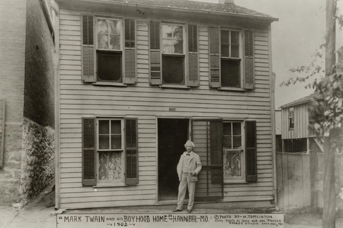
Families can see the Boyhood Home, the Becky Thatcher House associated with Twain's childhood friend Laura Hawkins, and a reconstructed home representing Tom Blankenship, who helped inspire Huckleberry Finn. The museum gallery also includes interactive exhibits and even a steamboat wheel children can try.
That makes the visit considerably more engaging than simply looking at an author's desk behind glass.
We'll add the clean official museum link during our dedicated linking pass.
From Samuel Clemens to Mark Twain
Clemens' relationship with the Mississippi didn't end when he left Hannibal.
As a young man, he trained and worked as a steamboat pilot, learning the constantly changing river in extraordinary detail. The experience later influenced both his writing and his famous pen name.
“Mark twain” was a riverboat term associated with measuring water depth—specifically a sounding of two fathoms, or twelve feet.
So even the name printed on the covers of his books came from the river.
Tom Sawyer Is Fun — But Hannibal's History Wasn't Simple
It's easy to turn Hannibal into a cheerful world of whitewashed fences, caves and mischievous children.
We shouldn't.
Samuel Clemens grew up in Missouri when slavery was legal. Enslaved African Americans were part of the community he knew as a child, and experiences from that world later influenced his writing.
Adventures of Huckleberry Finn is funny, adventurous and frequently uncomfortable. At its centre is the journey of Huck and Jim, an enslaved man seeking freedom, down a river running through a society shaped by slavery and racism.
That makes Twain's relationship with the Mississippi much more interesting than simple nostalgia. He used humour and storytelling to examine contradictions within the America he knew.
Families don't need to turn a visit to Hannibal into a literature seminar, but older children can understand an important idea:
Stories can entertain us while also asking difficult questions.
The Cave Behind the Fiction
Families wanting a more adventurous Hannibal experience can also explore the area's cave landscape.
The real McDowell's Cave, now generally known as Mark Twain Cave, helped inspire the frightening cave episodes in The Adventures of Tom Sawyer.
Caves were part of Clemens' childhood world, and bringing children underground provides a completely different experience after days of river scenery.
Check current tour schedules, accessibility and conditions before visiting, particularly if anyone dislikes enclosed spaces. Not every family needs to do everything associated with Twain; the boyhood home and riverfront may be plenty.
Seeing the Mississippi Through Twain's Eyes
Spend some time beside the river before leaving Hannibal.
By this point in our journey, towboats and barges may seem familiar. Imagine instead the Mississippi of Clemens' youth, when steamboats arrived with passengers, news, goods and stories from distant places.
For a child growing up in a relatively small river town, every boat offered a glimpse of a much larger world.
That helps explain the river's power over the imagination. It wasn't simply water moving past Hannibal.
It was possibility moving past Hannibal.
One of Those Moments...
Perhaps we walk down toward the Mississippi after exploring Twain's boyhood neighbourhood.
A modern towboat is pushing barges along the channel while traffic crosses a bridge overhead. Nothing about the scene looks particularly nineteenth century, yet the river itself provides the connection.
Samuel Clemens watched this water long before becoming Mark Twain. Indigenous communities travelled the Mississippi long before Hannibal existed, and generations of river workers learned its channels before locks, dams and electronic navigation made the journey more predictable.
We've now followed the same river from a stream in northern Minnesota through forests, cities, bluff country, ancient mound landscapes and historic ports.
And it is still growing.
Downstream, the Mississippi will carry us to a city built near the meeting point of two of North America's greatest rivers. There we'll encounter an ancient city that once rivalled major population centres elsewhere in the world, an expedition heading west across a continent, a courthouse connected with one of the most consequential slavery cases in American history and an enormous stainless-steel arch rising beside the Mississippi.
We're heading for St. Louis.
St. Louis
Where Great Rivers and Great Stories Meet
Approaching St. Louis, the scale of our Mississippi journey changes again.
The river is broad and unmistakably commercial now, carrying barges and towboats past a city whose fortunes have been tied to water for more than 250 years. Just north of St. Louis, the Missouri River joins the Mississippi, bringing water from an enormous watershed extending toward the Rocky Mountains.
That confluence helps explain why this location became so important.
St. Louis developed into a major trading and transportation centre, connecting the Mississippi with routes leading west along the Missouri and south toward New Orleans. During the nineteenth century, its riverfront became crowded with steamboats, warehouses, merchants, immigrants and travellers preparing to continue west.
But once again, the story didn't begin with the modern city.
Across the Mississippi lies evidence of a much older urban world.
Cahokia Mounds
America's Ancient City Beside the Mississippi
Before exploring downtown St. Louis, families interested in history should consider crossing into Illinois to understand one of the most remarkable places along the entire Great River Road.
Cahokia was the centre of a vast Indigenous settlement that flourished centuries before Europeans established St. Louis.
At its height around the eleventh and twelfth centuries, Cahokia contained monumental earthworks, neighbourhoods, plazas and agricultural communities spread across a huge area near the Mississippi. Its population reached into the thousands, making it the largest pre-Columbian settlement north of Mexico.
This is important because many families grow up learning American history as though large, sophisticated communities suddenly appeared only after European colonisation.
Cahokia tells a very different story.
The Mississippi supported complex societies long before steamboats, railroads or American cities existed.
Monks Mound — An Earthwork Built by Hand
The most imposing surviving feature is Monks Mound, an enormous earthen structure built in stages by carrying soil in baskets and containers.
Standing near it gives children a useful sense of scale. There were no bulldozers or dump trucks; constructing monumental earthworks required organisation, labour and generations of accumulated knowledge.
Cahokia also included plazas, residential districts and a circle of timber posts sometimes called Woodhenge, which appears to have been connected with observations of the sun and seasonal cycles.
Rather than thinking of Cahokia as a mysterious ruin, families should imagine a living community: people growing food, raising children, trading, holding ceremonies and making decisions within one of North America's most significant Indigenous population centres.
Family Travel Insight
Cahokia's facilities and access have changed during periods of major site improvements, so check current conditions before visiting rather than relying on an older itinerary.
Even when particular facilities are unavailable, understanding Cahokia is important enough that I wouldn't remove it from our Great River Road story.
It changes how we understand everything that follows.
St. Louis Begins as a Trading Settlement
The modern city of St. Louis was founded in 1764 by French traders Pierre Laclède and Auguste Chouteau at a location selected partly because it offered good river access while sitting high enough above the Mississippi to reduce flooding risk.
Fur trading helped establish the settlement, which developed under Spanish administration before becoming part of the United States following the Louisiana Purchase.
By the nineteenth century, St. Louis had become a major distribution point between the Mississippi Valley and the expanding American West. Steamboats crowded the levee, warehouses lined the riverfront and travellers arrived to purchase supplies before heading toward distant territories.
That history explains the nickname that still defines the city:
Gateway to the West.
Gateway Arch
A Monument With More Than One Story
Nothing announces our arrival in St. Louis quite like the Gateway Arch.
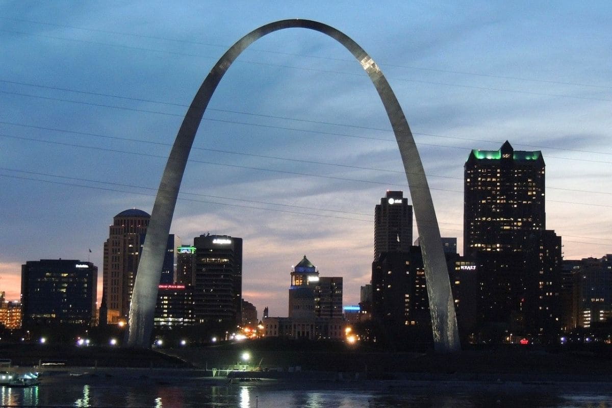
Rising 630 feet above the Mississippi riverfront, Eero Saarinen's stainless-steel arch was completed in 1965 as a monument to American westward expansion. It remains the tallest monument in the United States.
For families, riding the unusual tram to the observation area at the top can be great fun, particularly for children fascinated by engineering.
But the Arch becomes much more interesting when we ask what it actually represents.
For some visitors, westward expansion means exploration, migration and opportunity. For many Indigenous peoples, the same expansion brought land loss, broken treaties, warfare and displacement.
The National Park Service itself now interprets the Arch through these multiple perspectives, recognising that the history represented by the monument is considerably more complicated than a simple story of pioneers moving west.
That's exactly the sort of history this guide should encourage families to explore.
We don't have to decide that everything represented by a monument was entirely heroic or entirely shameful. We can understand why different people experienced the same historical events very differently.
Museum at the Gateway Arch
Beneath the Arch, the museum explores Indigenous cultures, colonial St. Louis, the Louisiana Purchase, Lewis and Clark, westward migration and the consequences of American expansion.
That makes it much more than somewhere to wait for a tram ride.
Interactive elements can help children understand the plants, animals and peoples encountered by expeditions moving west, while other exhibits examine the communities already occupying those lands.
For our particular road trip, the museum also provides an interesting geographical connection.
We've been travelling south on the Mississippi, while Lewis and Clark were preparing to travel west up the Missouri.
Two enormous American journeys intersect here.
Lewis & Clark — St. Louis Looks West
The Lewis and Clark Expedition didn't technically begin beneath today's Gateway Arch.
During the winter of 1803–1804, William Clark established Camp River Dubois near the confluence of the Mississippi and Missouri Rivers on the Illinois side. Lewis spent substantial time in St. Louis obtaining supplies, maps and information from traders who knew portions of the country ahead.
In May 1804, the Corps of Discovery began moving up the Missouri, eventually travelling thousands of miles to the Pacific and returning to St. Louis in September 1806.
We've already encountered the expedition on the Oregon Coast at Fort Clatsop. Now, several chapters later in our guide, we've reached the other end of that story.
That's one of the pleasures of a continent-sized road-trip guide: places that initially seemed unrelated begin connecting with one another.
Expansion Wasn't Into Empty Land
The Lewis and Clark story is fascinating, but it needs the same context we gave it in Oregon.
The expedition travelled through homelands already occupied and understood by Indigenous Nations. Its members frequently depended upon Indigenous knowledge, diplomacy, trade and assistance.
The expedition also helped strengthen American claims and stimulated further commercial interest and settlement in western territories, contributing to changes that eventually brought enormous disruption and displacement to Indigenous communities.
For families, that's a more interesting story than simply memorising two explorers' names.
Exploration changes depending upon whose map we're looking at.
The Old Courthouse & Dred Scott
Only a short walk from the Gateway Arch stands the Old Courthouse, one of the most historically significant buildings in St. Louis.
It was here that the first two trials in the freedom suit of Dred and Harriet Scott were heard in 1847 and 1850. The Scotts had been enslaved but argued that residence in free territories entitled them to freedom. Their long legal struggle eventually reached the United States Supreme Court.
In its infamous 1857 Dred Scott decision, the Supreme Court ruled against Scott and declared that people of African descent could not be citizens of the United States under the Constitution as the Court then interpreted it. The decision also restricted Congress's ability to prohibit slavery in federal territories.
Rather than settling the national conflict over slavery, the ruling intensified it.
Within a few years, the country was at war.
Why This Matters on Our River Journey
The Dred Scott story belongs here for more than geographical convenience.
The Mississippi River connected free and slave states, commerce and migration, opportunity and exploitation. People, cotton, food, manufactured goods and ideas all moved along it.
So did enslaved people.
As we travel farther south, slavery and its consequences become increasingly important to understanding the communities, economies and cultures along the river.
The Old Courthouse gives families a place to begin that conversation through the experiences of two people who challenged the system in court.
The building itself reopened in May 2025 after extensive renovations, so it is once again part of a visit to Gateway Arch National Park.
2026 Gateway Arch Planning
Families wanting to ride to the top of the Arch should plan ahead.
The National Park Service says same-day tickets can be available, but tram tickets frequently sell out during busy summer periods, so advance reservations are strongly recommended.
Everyone entering the Gateway Arch Visitor Center also passes through an airport-style security checkpoint, meaning families should allow additional time before a scheduled tram departure.
The Arch, museum and Old Courthouse can easily occupy much of a day, particularly if we're not rushing children through exhibits simply to reach the observation deck.
We'll add the proper official National Park Service link during the dedicated linking pass.
The Mississippi Riverfront
After all that history, walk back toward the river.
St. Louis is one of those places where the Mississippi itself can almost disappear behind the attractions built beside it.
Don't let that happen.
Stand near the riverfront and watch the working waterway for a while. Towboats push long strings of barges, bridges carry traffic between Missouri and Illinois and the enormous Arch rises immediately behind us.
During the height of the steamboat era, this waterfront would have looked completely different. In the 1840s and 1850s, hundreds of steamboats used the St. Louis levee each year, helping make the city a major distribution centre for goods moving through the Mississippi Valley and westward.
The vessels changed, but the importance of moving things by river didn't.
Where the Missouri Joins the Mississippi
If the itinerary allows, families interested in geography can also explore the wider confluence area north of St. Louis.
The Missouri River has travelled more than two thousand miles from the Rocky Mountain region before joining the Mississippi here. That meeting dramatically increases the amount of water moving downstream.
It's another milestone in the transformation we've been watching since Lake Itasca.
At the headwaters, a child could stand in the Mississippi. Here, one of North America's other great rivers has joined it—and we're still hundreds of miles from the Gulf.
One of Those Moments...
Perhaps we finish our St. Louis day on the riverfront as evening settles over the city.
The Gateway Arch catches the last light while a towboat works slowly upstream, pushing barges against the current. Somewhere beyond the city, the Missouri has already joined the Mississippi after its own enormous journey from the west.
We've spent the day moving through very different versions of American history. Cahokia reminded us that sophisticated communities flourished here centuries before St. Louis existed. The Arch introduced the ambitions and consequences of westward expansion, while the Old Courthouse brought us face to face with the legal struggle over slavery.
All of those stories occupy the same river landscape.
That's what makes St. Louis such an important stop. It isn't simply where we photograph the Arch; it's where several of America's largest historical stories cross paths beside the Mississippi.
South of St. Louis
Leaving St. Louis, our Great River Road journey changes significantly.
The wooded bluffs and northern river towns begin giving way to flatter landscapes and a Mississippi increasingly shaped by levees, agriculture and commercial navigation.
The history changes too.
Ahead lies Memphis, where the river connects with cotton, migration, civil rights and some of the most influential music ever created in America.
We'll visit a recording studio where blues, country, gospel and rhythm and blues collided with extraordinary consequences. We'll stand at a place where one of the defining struggles of the American Civil Rights Movement became heartbreakingly real.
And we'll eat.
Because understanding Memphis without barbecue would be an unnecessarily cruel form of historical research.
Memphis
Where the Mississippi Finds Its Rhythm
By the time we reach Memphis, Tennessee, the Mississippi has changed dramatically from the river we first met in Minnesota.
The forested headwaters and bluff-country towns are far behind us. Here the river is broad, powerful and deeply connected with the movement of cotton, people, commerce and ideas throughout the American South.
Memphis grew because of its strategic position on the Mississippi, but geography alone doesn't explain why the city matters so much to this journey. Few places along the Great River Road bring together so many strands of American history and culture in one location.
Cotton helped create wealth while slavery and, later, systems of racial inequality shaped the lives of generations of African Americans. The Great Migration carried people and their musical traditions northward. Blues, gospel, country and rhythm and blues encountered one another here, helping create new sounds that travelled around the world.
Memphis also became the setting for one of the defining events of the American Civil Rights Movement.
This is not a city we should rush through.
Cotton, the River & a Complicated Prosperity
Memphis was founded in 1819 on high ground above the Mississippi, where its location made it well suited to river commerce.
Cotton became central to the city's economy. By the eve of the Civil War, Memphis was already a major river port whose bankers, brokers and businesses were deeply involved in the cotton trade; by the end of the nineteenth century, it had become an enormous inland cotton market.
But cotton cannot be discussed honestly without discussing the people whose labour produced it.
Before the Civil War, much of the Southern cotton economy depended upon enslaved African Americans. After emancipation, many Black agricultural workers remained trapped in exploitative systems such as sharecropping and tenant farming, while segregation and racial violence severely restricted opportunity.
That history matters when we eventually hear the blues. The music didn't emerge from a picturesque landscape simply because someone happened to own a guitar; it grew from communities with experiences worth expressing.
Beale Street — More Than Neon & Music
Today, Beale Street is one of Memphis's best-known entertainment districts, filled with music venues, restaurants and glowing signs.
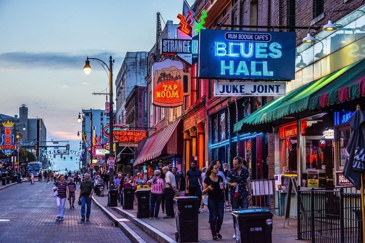
Its history is considerably richer.
By the late nineteenth and early twentieth centuries, Beale Street had become an important centre of Black business, culture and entertainment. Musicians performed in clubs and theatres, while restaurants, shops, professional offices and other businesses served the city's African American community.
One particularly important figure was W.C. Handy, a musician and composer whose work helped bring blues music to a much wider audience.
Handy didn't invent the blues. The music developed from much broader African American musical traditions throughout the South. What he did help accomplish was writing, arranging and publishing blues compositions in forms that allowed the music to travel far beyond the communities where it had developed.
That distinction is worth making because great cultural movements rarely have one inventor.
Music Moves With People
The blues also gives us another way to understand the Mississippi River corridor.
During the Great Migration, millions of African Americans left the rural South for cities in the North, Midwest and West, seeking employment and escaping many of the oppressive conditions of the Jim Crow South.
They carried culture with them.
Musicians leaving Mississippi and other Southern states brought blues traditions to places such as Memphis, St. Louis and Chicago, where the music changed again as performers encountered cities, amplified instruments and new audiences.
Later in our journey, Clarksdale will take us deeper into the Mississippi Delta landscape associated with many of those musicians.
Memphis shows us what happened when musical traditions began meeting one another in a rapidly growing city.
Sun Studio
When Different Sounds Collided
One of the most entertaining ways for families to explore that story is Sun Studio.
Producer Sam Phillips opened the Memphis Recording Service in 1950, recording blues and rhythm-and-blues performers before the studio became famous for helping launch artists who transformed popular music.
The list is extraordinary:
B.B. King. Howlin' Wolf. Ike Turner. Elvis Presley. Johnny Cash. Carl Perkins. Jerry Lee Lewis. Roy Orbison.
What makes Sun particularly interesting isn't simply that famous people stood in the room. It's what happened when musical traditions began crossing boundaries.
Blues and gospel influenced country musicians. Country met rhythm and blues. Young performers listened to sounds created within Black communities and combined those influences with other traditions they already knew.
Out of that cultural exchange came some of the music eventually called rock 'n' roll. Sun Studio itself describes its history as a meeting point for blues, gospel, country and early rock.
Elvis Presley & “That's All Right”
In 1954, a young Elvis Presley recorded “That's All Right” at Sun, performing a song written and previously recorded by Black blues musician Arthur “Big Boy” Crudup.
The session became a breakthrough moment in Presley's career.
But understanding where the song came from makes the story considerably more interesting.
Rock 'n' roll didn't suddenly appear when Elvis walked into a recording studio. Its roots reached deeply into African American blues, gospel, rhythm and blues, country music and other traditions that had been developing and influencing one another for years.
That context doesn't diminish Presley's importance.
It helps explain it.
Visiting Sun Studio With Children
Sun Studio remains a working recording studio as well as a visitor attraction, and guided daytime tours take families into the historic recording space while using stories, music and memorabilia to explain what happened there.
As of 2026, tours are approximately 40 minutes, but there's an important planning detail: timed tickets are sold in person for the same day on a first-come, first-served basis. The studio recommends arriving earlier to purchase a place for a later tour because capacity is limited. Children under five aren't permitted on the guided tour.
We'll add the clean official Sun Studio link during our dedicated linking pass.
Family Travel Insight
Sun Studio works particularly well with older children and teenagers because we can play some of the music before arriving.
Listen to an early blues recording, then Elvis or Johnny Cash, and ask what sounds similar and what changed.
Suddenly we're not dragging children through music history.
We're asking them to hear history happening.
Stax — Another Memphis Sound
Sun isn't the only recording story worth knowing.
A few miles away, Stax Records became enormously influential in soul music, recording artists including Otis Redding, Booker T. & the M.G.'s, Isaac Hayes, Carla Thomas and the Staple Singers.
The integrated groups of musicians and producers working at Stax created music together during an era when much of American society remained legally or socially segregated.
Families particularly interested in music could visit the Stax Museum of American Soul Music, but we don't need to turn Memphis into a marathon of museums.
Sun and Stax both matter. We choose according to the family's interests and available time.
The Lorraine Motel
A Place Where History Becomes Personal
Then Memphis changes tone completely.
The turquoise doors and retro exterior of the Lorraine Motel initially look like something preserved from an earlier era of American road travel.
That's exactly what they are.
During segregation, African American travellers couldn't assume that hotels, restaurants or other businesses would serve them. The Lorraine became one of Memphis's important Black-owned accommodations, welcoming ordinary travellers as well as prominent musicians and public figures. Guests included performers such as Aretha Franklin and Otis Redding, and musicians associated with nearby Stax Records frequently stayed there.
But the Lorraine is remembered around the world for what happened on April 4, 1968.
Dr. Martin Luther King Jr. was assassinated outside Room 306.
Today the motel forms the heart of the National Civil Rights Museum.
Why Dr. King Was in Memphis
King hadn't travelled to Memphis for a speech unconnected with the city. He came to support Black sanitation workers who were on strike.
The workers faced low wages, unsafe working conditions and discriminatory treatment. After sanitation workers Echol Cole and Robert Walker were killed in a garbage-truck accident on February 1, 1968, frustration erupted into organised action.
Workers went on strike later that month, demanding safer conditions, fair treatment and recognition of their union.
Their campaign became associated with a message printed in stark black letters on white placards:
I AM A MAN.
Those four words expressed something much larger than a labour dispute.
They demanded dignity.
National Civil Rights Museum
The National Civil Rights Museum doesn't begin the civil rights story with Martin Luther King Jr.
Its exhibits place the twentieth-century movement within a much longer history that includes slavery, resistance, segregation, boycotts, sit-ins, Freedom Rides, voting-rights campaigns and other struggles for equality.
The museum incorporates historic collections, films, oral histories and interactive exhibits within and around the Lorraine Motel.
Eventually, visitors reach the motel rooms connected with King's final visit and look toward the balcony outside Room 306. It's difficult not to feel the weight of the place.
This isn't a reconstructed scene in a museum building chosen decades later.
We're standing where the event happened.
We'll add the clean official National Civil Rights Museum link during the dedicated linking pass.
Family Travel Insight
For families with younger children, consider how much historical detail they're ready for before visiting. The museum deals with violence, racism, assassination and injustice because those subjects are inseparable from the history it preserves.
Older children and teenagers, however, may find this one of the most meaningful educational experiences anywhere on the Great River Road.
Allow enough time. This isn't a museum I'd squeeze between lunch and another attraction.
A Motel With Another Important Story
It's also worth understanding what the Lorraine represented before 1968.
Under owners Walter and Loree Bailey, the motel became a welcoming place for Black travellers during an era when Jim Crow segregation made safe accommodation difficult to find. The Lorraine was listed in travel resources serving African American motorists and became known for hospitality, food and a clientele that included musicians, athletes and business leaders.
That adds another dimension to the building.
The Lorraine shouldn't be remembered only as the place where a life ended. For years beforehand, it was also a place where people lived, worked, gathered, ate, wrote music and found welcome.
Memphis Barbecue
After the emotional weight of the Civil Rights Museum, families may be ready for something considerably less complicated.
Fortunately, Memphis has barbecue.
Memphis-style barbecue is particularly associated with pork, including ribs and pulled pork, although restaurants have developed their own rubs, sauces, smoking techniques and fiercely defended opinions about how barbecue should be served.
Dry ribs may arrive coated with a seasoned rub rather than heavy sauce, while other restaurants favour saucier styles.
This isn't the moment to tell you which famous restaurant is “best.” That argument could last longer than the entire Great River Road.
Choose somewhere that suits the family, order several things and share.
Food is another form of regional history, and one of the great pleasures of this road trip is watching the menu change as dramatically as the scenery.
Mud Island & the Scale of the Mississippi
Families wanting more river time can explore the Memphis waterfront and Mud Island area.
One particularly clever feature associated with the riverfront is the Riverwalk, a scaled representation of the Lower Mississippi that helps visitors appreciate the river's winding course.
Features and operating conditions around Mud Island have changed over time, so this is one of those places where we should check current access before making it essential to the itinerary.
The larger point remains useful: by Memphis, the Mississippi has become enormous.
The little river we stepped across at Itasca now carries commercial traffic through a channel whose scale can be difficult to appreciate until we're standing beside it.
Sunset Over the Mississippi
Memphis's riverfront is also a good place to stop trying to learn things.
After museums, music and difficult history, families sometimes need to simply sit down.
Find a riverfront viewpoint toward evening and watch the Mississippi move past. Towboats work against the current while barges travel through the fading light, bridges stretch across the water and the Arkansas shore lies beyond them.
Nothing needs explaining for a while.
Sometimes understanding a river also means spending enough time beside it to notice how slowly something so powerful appears to move.
One of Those Moments...
Perhaps the family has spent the morning laughing during a music tour and the afternoon confronting a much more difficult part of American history at the Lorraine Motel.
By evening, we're sitting beside the Mississippi with barbecue containers on the table and tired feet reminding us that we've walked farther than planned. Music drifts faintly from somewhere behind us while a towboat moves steadily along the river.
It's difficult to imagine two places more different than this waterfront and Lake Itasca.
Yet the water connects them, and so do many of the human stories we've been following.
People travelled this river seeking opportunity, escaping oppression, carrying goods, searching for work and bringing music, food, beliefs and memories with them. Those movements helped shape Memphis into the city we've experienced today.
Tomorrow we'll follow the Mississippi farther south, and soon the landscape will become flatter than almost anywhere we've travelled so far.
Into the Mississippi Delta
South of Memphis, the Great River Road enters a landscape that looks deceptively simple.
The Mississippi Delta isn't the river's delta where the Mississippi reaches the Gulf. The region usually described by that name lies primarily in northwestern Mississippi, an extraordinarily flat alluvial plain between the Mississippi and Yazoo Rivers.
The soil is deep and fertile because rivers and floods deposited sediment here over immense periods of time.
That fertility helped make cotton extraordinarily profitable. It also helped create a social and economic history inseparable from slavery, sharecropping, segregation and generations of Black agricultural labour.
After emancipation, many African American families continued working the land as sharecroppers or tenant farmers. Poverty could be severe, opportunities limited and racial violence a constant reality.
Out of those communities emerged one of America's most influential cultural forms.
The Delta Blues
The blues didn't come from one person, one town or one afternoon.
Its roots include African American work songs, spirituals, field hollers, folk traditions and other musical influences that developed over generations.
The Mississippi Delta became particularly important because so many influential musicians lived, worked and performed here. Songs told stories about love, loss, work, poverty, travel, injustice, humour and ordinary life.
When Delta musicians later travelled to Memphis, Chicago and other cities, their music travelled with them. Amplification, new instruments and new audiences changed it, but the Delta remained part of the foundation.
Clarksdale
Where the Blues Story Comes Into Focus
For families following that musical history, Clarksdale, Mississippi, is the Delta stop I'd prioritise.
Its location near the intersection of Highways 61 and 49, combined with important rail connections, helped make Clarksdale a transportation and entertainment centre.
Musicians associated with the city and surrounding region include Muddy Waters, John Lee Hooker, Son House, Ike Turner and Sam Cooke, while Robert Johnson and Howlin' Wolf are among the other major blues figures connected with Clarksdale.
That concentration of musical history is remarkable.
But again, we shouldn't imagine the blues as something created for tourists.
This music grew from people's lives.
Delta Blues Museum
The best place to give families some structure to that story is the Delta Blues Museum, housed in a historic 1918 freight depot in Clarksdale.
Established in 1979, it is Mississippi's oldest music museum and preserves exhibits connected with the history and musicians of Delta blues.
One of its most significant connections is Muddy Waters, who lived and worked near Clarksdale before moving to Chicago, where his amplified blues became enormously influential.
The museum's educational material also explicitly connects blues history with the Great Migration, helping visitors understand how musicians and musical traditions moved from the Delta into northern cities.
As of 2026, the museum is open Monday through Saturday from 10 a.m. to 5 p.m., with final admission at 4:30 p.m.; families should still check for holiday closures before travelling.
We'll add the clean official museum link during our dedicated linking pass.
The Crossroads & Robert Johnson
Clarksdale is also associated with one of the most famous legends in blues history.
According to the story, musician Robert Johnson went to a crossroads at midnight and made a supernatural bargain in exchange for extraordinary ability on the guitar.
It's a wonderful story.
It's also a legend.
Johnson was a real musician whose relatively small body of recordings became enormously influential, but there's no evidence that supernatural assistance was responsible for his talent.
What the crossroads legend does reveal is how mythology grows around musicians whose lives contain unanswered questions.
Clarksdale's location at the intersection of Highways 61 and 49 has become strongly associated with the story, and visitors will encounter crossroads imagery throughout the town.
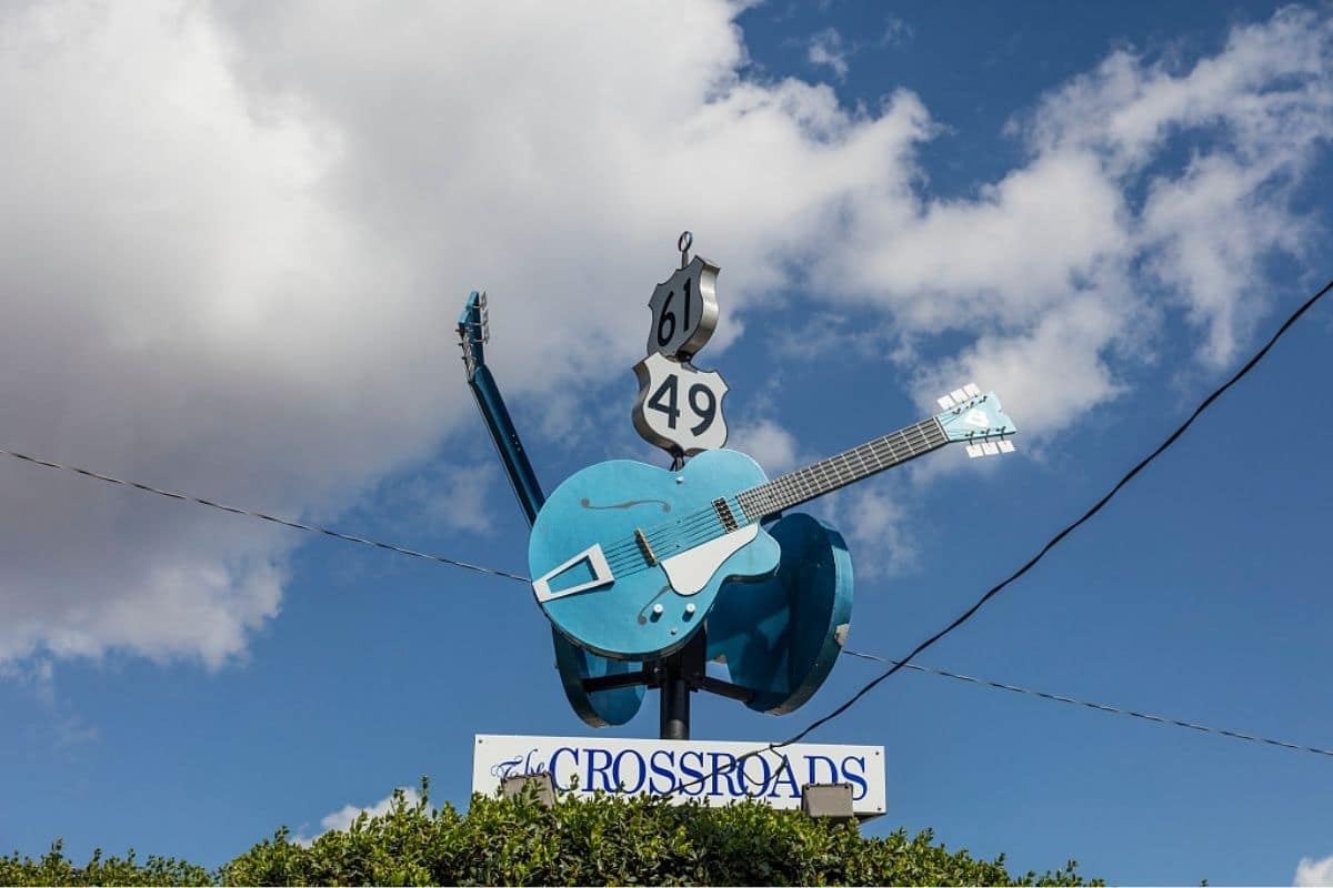
Take the photograph and tell the legend.
Just remember which part is history and which part is folklore.
Listen to the Blues Where It Still Lives
Clarksdale isn't valuable merely because it preserves old music behind museum glass.
Live blues remains part of the town's identity.
Depending on the evening, visitors may find performances in small venues where the experience feels considerably more intimate than a large concert hall.
Families travelling with younger children should check venue policies and performance times beforehand, since late-night music isn't necessarily compatible with everyone's bedtime.
For older children and teenagers, however, hearing live blues after spending the day learning where the music came from can make the history click into place.
The goal isn't to make them blues experts.
It's to let them understand that the music is still alive.
Food in the Delta
The Delta gives us another reason to leave space in the itinerary.
Regional cooking reflects African American traditions and the ingredients available across the agricultural South, with dishes that may include catfish, greens, cornbread, barbecue and tamales.
Yes, tamales.
The Mississippi Delta has its own long-standing hot-tamale tradition, generally producing smaller tamales with a different texture and seasoning from many Mexican versions.
Exactly how tamales became so firmly established in the Delta is debated, with several cultural influences proposed. That uncertainty doesn't make them less worth eating.
If anything, it's another reminder that food travels and changes when communities meet.
Family Travel Insight
This is one of the sections where I would deliberately choose a locally owned restaurant rather than defaulting to a familiar chain.
Children don't have to order something adventurous. Even seeing different foods on everyone else's plates helps establish that we've travelled into another region.
What the Cotton Fields Don't Tell Us
Driving through the Delta, families may pass enormous agricultural fields stretching almost to the horizon.
The landscape can appear peaceful.
That's why context matters.
Beautiful scenery doesn't erase difficult history. Cotton wealth was built first through enslaved labour and later through economic systems that often kept Black agricultural families in poverty.
At the same time, those communities created music, food, religious traditions and cultural forms that profoundly influenced the United States and eventually the world.
We don't need to lecture children every mile, but we shouldn't allow the scenery to tell an incomplete story simply because the complete one is harder.
One of Those Moments...
Late in the day, the road runs straight across the Delta while the horizon seems impossibly far away.
Fields stretch on both sides, broken occasionally by trees, farm buildings and small communities. A blues recording plays quietly in the car—perhaps Muddy Waters, Son House or Robert Johnson—and suddenly the music sounds different from the way it did back home.
We've seen the land, learned something about the people who worked it and followed the movement of musicians from rural Mississippi toward Memphis and northern cities.
Now the music belongs to a place.
That's one of the things travel can do that books and screens struggle to reproduce.
It gives knowledge a landscape.
South Toward Vicksburg
From Clarksdale, we'll continue deeper into Mississippi.
The next major stop changes the subject again.
At Vicksburg, high bluffs above the Mississippi became the focus of one of the most important campaigns of the American Civil War.
And waiting for us there is someone we've already met hundreds of miles upstream in the quiet streets of Galena, Illinois.
Ulysses S. Grant.
Vicksburg
The City That Controlled the Mississippi
The road south from the Delta brings us to Vicksburg, Mississippi, where the landscape itself explains why this city became so important during the American Civil War.
Vicksburg occupied high bluffs overlooking a sweeping bend of the Mississippi. During the war, Confederate artillery positioned on those heights could threaten Union vessels moving along the river, while the city's location helped maintain an important connection between Confederate territory east and west of the Mississippi.
For President Abraham Lincoln and Union commanders, controlling the river was strategically crucial. Capturing Vicksburg would give Union forces control of a huge section of the Mississippi and severely disrupt Confederate transportation and supply routes.
Lincoln reportedly understood its importance clearly, describing Vicksburg as the key to winning control of the river.
The general eventually responsible for taking it is already familiar to us. We met Ulysses S. Grant hundreds of miles upstream in Galena.
Now we encounter him as a military commander facing one of the greatest challenges of his career.
The Vicksburg Campaign
Grant didn't simply march directly toward Vicksburg and capture it.
Earlier attempts to approach the city failed or became bogged down by geography, flooding and Confederate defences. Eventually, in spring 1863, Grant moved his army down the Louisiana side of the Mississippi, crossed the river south of Vicksburg and launched a fast-moving campaign inland.
Union forces won a series of battles, captured Jackson, Mississippi, and approached Vicksburg from the east. When direct assaults against the Confederate defences failed, Grant changed strategy.
Rather than sacrificing more soldiers trying to storm heavily fortified positions, he surrounded the city.
The Siege of Vicksburg began in May 1863. For 47 days, Union forces tightened their grip while artillery bombarded Confederate positions and the city itself. Soldiers and civilians endured increasingly desperate conditions as food and supplies dwindled.
On July 4, 1863, Confederate Lieutenant General John C. Pemberton surrendered Vicksburg to Grant. Combined with Union control elsewhere on the river, the victory gave the United States effective command of the Mississippi and split the Confederacy geographically.
At almost the same moment, another enormous battle was ending in Pennsylvania:
Gettysburg.
Together, Gettysburg and Vicksburg marked a major turning point in the Civil War.
Vicksburg National Military Park
Today, Vicksburg National Military Park preserves much of the battlefield and siege landscape.
This is one of those historical places that works particularly well on a road trip because families can explore much of it by car rather than spending the entire day inside another museum.
The park's tour road winds past artillery positions, monuments, earthworks and battlefield landscapes, allowing us to stop selectively rather than attempting to examine every marker.
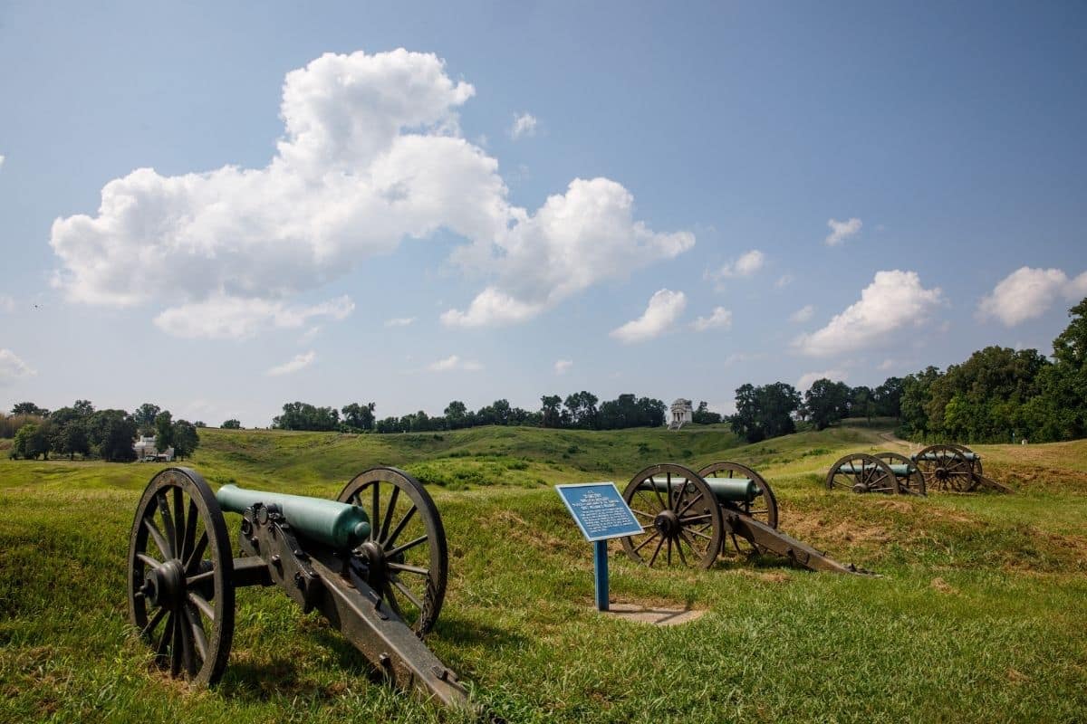
There are more than 1,300 monuments, markers, tablets and plaques within the park, so trying to see everything would be exhausting and unnecessary.
Instead, concentrate on the larger story. Look at the terrain, notice the ridges and ravines and try to understand why attacking these fortified positions was so difficult.
The landscape explains the battle better than memorising troop movements ever could.
The Illinois Memorial
One of the park's most impressive structures is the Illinois Memorial, modelled partly on the Pantheon in Rome and reached by a broad flight of steps.
Inside, bronze tablets contain the names of Illinois soldiers who participated in the Vicksburg campaign.
Children sometimes understand the scale of a historical event more clearly when they see names rather than numbers. “Thousands of soldiers” is abstract; a wall covered with individual names is not.
That's one reason battlefield sites can be meaningful even for families who aren't particularly interested in military history.
They remind us that wars are experienced by individuals.
The USS Cairo
A Civil War Warship Raised From the River
For many children, one of Vicksburg's most memorable attractions may not be a battlefield at all.
The USS Cairo was an ironclad gunboat built for Union operations on western rivers during the Civil War.
In December 1862, while moving on the Yazoo River north of Vicksburg, Cairo struck electrically detonated underwater mines—then commonly called torpedoes—and sank rapidly. Remarkably, no members of the crew were killed.
The vessel remained underwater for nearly a century before being located, recovered and painstakingly preserved.
Today families can see the surviving ironclad at Vicksburg National Military Park, along with thousands of recovered objects that provide an unusually intimate look at daily life aboard a Civil War vessel.
This is history children can physically comprehend.
Instead of imagining an “ironclad,” they can stand beside one.
What Was Life Like on a River Gunboat?
The artifacts recovered from Cairo are almost as interesting as the vessel itself.
Sailors needed far more than cannons and ammunition. Archaeologists recovered tools, dishes, personal belongings, medical items and other everyday objects that reveal what life aboard the gunboat actually involved.
That gives us another useful way of approaching military history with children. Ask them what they would need if they had to live aboard a crowded vessel for weeks at a time.
Where would everyone sleep? What would they eat? How hot would an iron-covered boat become during a Mississippi summer?
History becomes considerably more relatable when we move from generals and battle maps to ordinary daily life.
2026 Vicksburg Planning
Vicksburg is another place where current information matters.
The park grounds are open daily from sunrise to sunset, while the vehicle tour road currently operates from 8:30 a.m. to 5 p.m., with last vehicle entry at 4:40 p.m. The USS Cairo exhibit and museum are open daily from 8:30 a.m. to 4:30 p.m.
The main Visitor Center currently has more limited days, opening Wednesday through Sunday, so families arriving on a Monday or Tuesday shouldn't assume the entire park is closed. The tour road and USS Cairo remain available daily except specified holidays.
We'll add the clean official National Park Service link during our dedicated linking pass rather than carrying the current ChatGPT-tagged URL into the finished article.
Family Travel Insight
Allow at least several hours if Vicksburg is one of the family's major history stops, but don't feel obligated to read every monument.
Choose a few important battlefield positions, visit the USS Cairo and leave enough time for questions.
Children often learn more from understanding three things properly than from being rushed past thirty things they've already stopped caring about.
War Changes the River
Vicksburg also brings us back to the larger story of the Mississippi.
The Union campaign wasn't focused on this city simply because Vicksburg happened to be important. Control of the river itself was the prize.
The Mississippi carried food, troops, military supplies and commercial goods. Controlling it affected communities hundreds of miles away and helped determine whether the Confederacy could move resources between its eastern and western regions.
The river we've followed for recreation, wildlife, commerce and music had become a weapon of geography.
Once again, the Mississippi wasn't merely flowing past history.
It was helping shape it.
Leaving Vicksburg
South of Vicksburg, the river continues toward Louisiana and the landscape gradually becomes lower, warmer and increasingly influenced by water.
Cotton fields and floodplains continue, but new cultural influences begin appearing in food, language, architecture and music.
The Great River Road is about to change character once again.
We're entering Louisiana.
Louisiana
Where River, Wetland & Culture Come Together
Louisiana can feel like the natural finale of the Great River Road, but it deserves more than a hurried drive toward New Orleans.
Here, the Mississippi becomes an immense working river while bayous, swamps, marshes and distributaries create a watery landscape unlike anything we've encountered farther north.
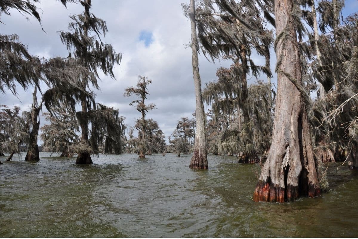
The cultural landscape changes just as dramatically. French, Spanish, African, Caribbean, Indigenous, Acadian and later American influences interacted here over generations, creating traditions that can't be neatly separated into a single origin story.
That complexity is part of what makes southern Louisiana so fascinating.
Food, music and language change, and even the relationship between road and water begins to feel different. In places, travelling beside the Mississippi is no longer enough to understand the region.
We need to follow some of the waterways branching away from it too.
Baton Rouge
Louisiana's Capital Beside the Mississippi
Before detouring into Cajun Country, the Great River Road brings us through Baton Rouge, Louisiana's state capital.
The Mississippi here is no longer simply the river of paddlewheel nostalgia.
This is an enormous industrial waterway.
Petrochemical facilities, grain elevators, docks, towboats and oceangoing vessels reveal how economically important the Lower Mississippi remains.
Families who have followed the river from Lake Itasca should take a moment to appreciate the transformation. We started with water flowing quietly between rocks beneath northern pines; now we're watching ships use a river deep and broad enough to connect the interior of North America with international trade.
Why Is It Called Baton Rouge?
The name itself gives us an Indigenous connection.
French explorer Pierre Le Moyne d'Iberville travelled along the Mississippi in 1699 and described seeing a reddish pole or post marking a boundary between Indigenous hunting territories.
The French expression bâton rouge means “red stick,” and the city that eventually developed nearby inherited the name.
As with so many places along this journey, the modern map contains traces of people who were here before the city existed.
The Mississippi Is Getting Difficult to See
Something curious happens along portions of the Lower Mississippi.
Although we're following one of the largest rivers on the continent, we may not always be able to see it.
Why?
Levees.
Much of the Lower Mississippi flows behind enormous earthen flood-control structures designed to reduce the risk of water spreading into communities and agricultural land during high river stages.
That creates an unusual road-trip experience. Sometimes we know an enormous river is just beyond the levee without actually seeing it.
The engineering makes sense when we understand the problem.
The Lower Mississippi naturally wants to flood. For thousands of years, those floods spread water and sediment across the surrounding landscape, building fertile floodplains and helping create southern Louisiana itself.
People later built towns, farms, roads and industries on that land—and then, understandably, wanted the river to stay where they'd put it.
That tension between living with water and controlling water becomes one of the most important stories of Louisiana.
A Worthwhile Detour
At this point, families could simply continue following the Mississippi toward New Orleans.
I wouldn't.
A detour west toward Lafayette and Cajun Country adds something completely different to the journey and helps us understand southern Louisiana far better than another day spent watching the river through a windscreen.
This is where we begin encountering the story of the Acadians.
Who Were the Acadians?
The people who eventually became known as Cajuns didn't originate in Louisiana.
Their story begins in Acadie, a French colonial region encompassing areas of present-day Atlantic Canada, particularly Nova Scotia and parts of New Brunswick and Prince Edward Island. Acadian communities developed there over generations, creating farms and settlements adapted to the coastal landscape.
Then imperial conflict changed everything.
After Britain gained control of Acadia, tensions grew over Acadian neutrality and allegiance. Beginning in 1755, British authorities forcibly deported thousands of Acadians in an event remembered as Le Grand Dérangement—the Great Upheaval.
Families were separated and dispersed among British colonies, Britain, France and other locations.
Over subsequent years, some Acadians eventually reached Spanish-controlled Louisiana, where they established communities and adapted their traditions to a dramatically different environment.
That migration begins explaining how Acadian eventually became Cajun.
From Acadian to Cajun
The Acadians who settled in Louisiana didn't simply recreate Nova Scotia in a warmer climate.
They encountered Indigenous peoples, Africans, Creoles, Spanish colonists, other French-speaking communities and later arrivals from many backgrounds. Language evolved, food changed according to available ingredients and musical traditions interacted, while people learned to live among prairies, bayous, wetlands and subtropical weather.
Over generations, a distinctive Cajun culture emerged.
That's why it's more accurate to think of Cajun culture as a living Louisiana culture shaped by adaptation and exchange, rather than a perfectly preserved fragment of eighteenth-century Acadia.
Lafayette & Cajun Country
Lafayette makes a useful base for exploring this cultural landscape.
The attraction isn't one monumental sight. It's the combination of food, music, language, nearby small communities and the chance to understand how Acadian traditions developed into something uniquely Louisianan.
Listen for the accordion and fiddle in Cajun music. Try dishes that may include gumbo, jambalaya, boudin or crawfish when in season, and don't be surprised if children discover that some of the most interesting parts of the day happen around a table rather than at an official attraction.
Food is doing historical work here too.
An Important 2026 Lafayette Update
Older travel guides may recommend beginning at the National Park Service's Acadian Cultural Center in Lafayette.
As of August 2026, don't build the day's itinerary around it.
The National Park Service currently lists the Lafayette centre as temporarily closed because of air-conditioning problems, with renovation planning underway. Fortunately, the larger Jean Lafitte National Historical Park and Preserve operates other Acadian cultural sites that may work even better depending on our route.
We'll add the clean official National Park Service links during our dedicated linking pass.
Prairie Acadian Cultural Center — Eunice
Families willing to travel a little farther west can consider the Prairie Acadian Cultural Center in Eunice.
This National Park Service site explores the Acadian communities of Louisiana's prairie country through exhibits, films and ranger programming. Depending on the schedule, activities can include Cajun music, dancing, cooking and craft demonstrations, giving children something far more tangible than reading another display panel.
The centre is free and, in 2026, operates Tuesday through Saturday with varying hours.
This is exactly the sort of cultural stop I like for this journey. We're not simply being told that Cajun traditions survive; depending on the day's programming, we may actually hear the music, watch the dancing or see the food being prepared.
Cajun and Creole Aren't the Same Thing
Visitors frequently use Cajun and Creole as though the words were interchangeable.
They aren't.
Both terms describe complicated identities that have changed over time, and neither can be reduced to one perfect definition. In broad terms, Cajun identity developed strongly from the descendants and cultural traditions of Acadian settlers in Louisiana. Creole historically carried several meanings in colonial Louisiana and became associated with locally born populations and cultural traditions shaped by French, Spanish, African, Caribbean and other influences.
The cultures influenced one another extensively, as did their music and food.
Rather than trying to draw an imaginary wall between them, families can understand the most useful point:
Southern Louisiana became culturally distinctive because people and traditions met here.
Into the Bayou
Leaving the prairie country and moving deeper into southern Louisiana, the landscape becomes increasingly watery.
Roads cross bayous and drainage channels. Cypress trees rise from still water, often draped with Spanish moss, while egrets and herons hunt along shallow edges.
The word bayou generally describes a slow-moving or sluggish waterway, often associated with the low-lying landscapes of the Gulf Coast.
But a bayou isn't simply scenery.
For generations, waterways served as transportation routes, fishing grounds, sources of food and connections between communities. People adapted boats, houses, occupations and cooking to a landscape where water was part of everyday life.
Thibodaux — Understanding Life on the Bayou
One particularly useful family stop is the Wetlands Acadian Cultural Center in Thibodaux, another unit of Jean Lafitte National Historical Park and Preserve.
Its exhibits explore the lives of Acadians and other people who settled Louisiana's bayou country, including their recreation, clothing, religion, food, homes and fishing traditions. The centre also offers a Junior Ranger program and, when scheduled, ranger-guided boat tours on Bayou Lafourche.
As of 2026, the centre is open Tuesday through Saturday and admission is free.
For families, this may actually be more valuable than trying to fit several generic swamp attractions into the itinerary because we learn about the people and the landscape together.
A Bayou Boat Trip
A carefully chosen boat excursion can add a completely different experience to this chapter.
From the water, the landscape makes more sense. Cypress trunks emerge from flooded ground, floating vegetation gathers along quiet channels and birds move between forest and marsh. Depending on location and season, families may see herons, egrets, turtles and alligators.
The best excursion isn't necessarily the one promising the closest alligator photograph.
I'd choose an operator that emphasises natural behaviour, wetland ecology and responsible wildlife viewing rather than feeding animals to manufacture encounters.
Wild alligators don't need marshmallows, and children don't need to learn that wild animals perform when people throw food at them.
Wildlife Tip
Never feed or approach wild alligators, and don't assume a motionless animal is harmless.
Keep children and pets away from the water's edge where alligators may be present, follow local guidance and allow wildlife to remain wild.
Respect produces better encounters than proximity.
The Atchafalaya — A River That Wants to Change Course
Louisiana now introduces one of the most fascinating geographical stories of our entire Great River Road journey.
The Mississippi River has not always followed exactly the same route to the Gulf. Over geological time, sediment builds channels and deltas, river courses shift and water seeks steeper or more efficient routes toward the sea.
Today, the Atchafalaya River provides a shorter and steeper route to the Gulf than the Mississippi's existing channel past Baton Rouge and New Orleans.
Left entirely to natural processes, the Mississippi might eventually send far more of its flow toward the Atchafalaya.
That would have enormous consequences for communities, industries and ports along the present Lower Mississippi.
So people intervene.
Old River Control
At the Old River Control Structure north of Baton Rouge, the U.S. Army Corps of Engineers manages how much water leaves the Mississippi for the Atchafalaya system.
Think about how extraordinary that is.
At Lake Itasca, we stepped across a river following its natural course through the forest. Here in Louisiana, enormous engineering works help influence which route that same river takes toward the sea.
This may be the clearest example yet of our recurring Mississippi theme: people depend upon the river, people alter the river, and then people must manage the consequences of those alterations.
One of Those Moments...
Late in the afternoon, our boat slows in a quiet Louisiana waterway.
The surface reflects cypress trees and patches of open sky, while a great blue heron lifts from the shallows and disappears farther into the wetland.
The air and landscape feel completely different from Minnesota, yet water still provides the connection.
We've followed it through northern forests, beneath city bridges, past ancient earthworks and Civil War battlefields, through cotton country and into communities where music and food developed from extraordinary mixtures of people and experience.
Now the road trip has brought us into a place where roads themselves sometimes seem secondary.
Life follows the water.
Ahead, the Mississippi will carry us into a city that could hardly exist anywhere else—a city shaped by river, ocean, migration, music, food, celebration and disaster.
We're heading into New Orleans.
New Orleans
Where the Mississippi's Stories Come Together
After thousands of miles following the Mississippi south, New Orleans feels less like another stop and more like the place toward which the entire journey has been building.
The river curves dramatically through the city, helping give New Orleans its familiar nickname, the Crescent City. For generations, that location near the lower Mississippi made it one of North America's most important port cities, linking farms, towns and industries across the continent's interior with the Gulf of Mexico and international trade.
But geography alone doesn't explain New Orleans.
This is a city shaped by Indigenous peoples, French and Spanish colonial rule, enslaved and free Africans and their descendants, Caribbean migration, Acadian settlement and later waves of immigration. Over time, languages, religions, music, architecture and food interacted in ways that produced traditions found nowhere else quite the same.
Some of those exchanges were voluntary and joyful. Others occurred within systems of slavery, colonialism and inequality.
Understanding both makes New Orleans far more interesting than treating it simply as a colourful place for food and music.
Begin With the Mississippi
Before disappearing into the French Quarter, spend a little time beside the river.
By this stage of our road trip, the contrast with Lake Itasca is almost unbelievable. The Mississippi flowing past New Orleans can carry oceangoing ships, towboats and enormous strings of barges, while ports and industrial facilities along the Lower Mississippi connect cargo from America's interior with destinations around the world.
That gives families one last opportunity to think about the river's transformation.
We began by stepping across it. Now ships capable of crossing an ocean are using it.
The French Quarter
A Neighbourhood Best Explored on Foot
The French Quarter is the obvious starting point for most first-time families, but it works best when we resist turning it into a checklist.
Walk slowly. Look above the shopfronts toward iron balconies and galleries, notice courtyards hidden behind old buildings and listen for music appearing unexpectedly from streets and doorways.
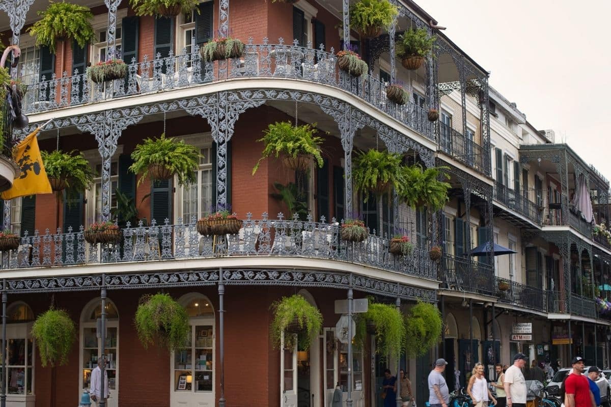
Architecture reflects layers of French, Spanish, Caribbean and American influence, while restaurants, shops, homes and historic buildings continue sharing a relatively compact neighbourhood.
Morning and daytime are generally much easier with children than late-night Bourbon Street. Families can enjoy the architecture, riverfront, food and street performers without needing to experience the Quarter at its busiest or most adult-oriented hours.
Family Travel Insight
This is a good place to park the car and give it a rest.
Walk where practical, use public transportation and leave enough unscheduled time that the family can investigate something simply because it looks interesting.
After thousands of miles of driving, not knowing exactly where we're going for an hour can feel surprisingly luxurious.
A Useful First Stop — French Quarter Visitor Center
Families wanting a little context before wandering can visit the French Quarter Visitor Center, part of Jean Lafitte National Historical Park and Preserve.
Its exhibits and film introduce the history and traditions of the lower Mississippi River delta and New Orleans, including the city's food, architecture, music and cultural mixture. Admission is free.
As of 2026, the visitor center is open Tuesday through Saturday from 9:30 a.m. to 4:30 p.m., except federal holidays and Mardi Gras.
That makes it a useful short stop rather than another major museum commitment.
We'll add the clean official National Park Service link during our dedicated linking pass.
Jackson Square
Eventually the streets open around Jackson Square, one of the most recognisable spaces in New Orleans.
St. Louis Cathedral rises above the square while artists display their work, musicians perform nearby and visitors drift between the surrounding historic buildings and the riverfront.
This is a particularly good place to slow the itinerary down. Find a bench if one is available, watch the activity and allow children to absorb the fact that a historic place is still functioning as part of everyday city life.
New Orleans isn't preserved behind museum glass.
That's part of its appeal.
Beignets — A Highly Necessary Research Stop
At some point somebody will mention beignets.
This should not be ignored.
Warm fried dough beneath a heroic quantity of powdered sugar is one of those travel experiences requiring very little historical explanation before children understand its value.
Enjoy them with coffee, café au lait or whatever works for the family, and accept that everyone may leave with powdered sugar on clothing that was clean five minutes earlier.
A road-trip guide this long needs occasional moments when nobody has to learn anything.
Congo Square
Where African Traditions Helped Shape New Orleans Music
For the deeper musical story, one of the most important places in New Orleans is Congo Square, within present-day Louis Armstrong Park.
During the eighteenth and nineteenth centuries, enslaved and free people of African descent gathered here, particularly on Sundays under changing legal conditions, to trade, socialise, make music and dance.
Those gatherings allowed African and Caribbean musical, rhythmic and dance traditions to survive and interact within New Orleans.
They didn't single-handedly “create jazz” in one location, but they formed an important part of the cultural environment from which later New Orleans music developed.
That's a much more useful way to understand jazz. It didn't appear from nowhere; it grew in a city where musical traditions had been meeting for generations.
The Birthplace of Jazz
New Orleans is widely recognised as the birthplace of jazz, which developed largely within African American communities around the turn of the twentieth century.
Blues, ragtime, brass-band music, spirituals, African and Caribbean rhythmic traditions and other musical influences interacted within the city. Musicians improvised, borrowed ideas, answered one another musically and gradually created approaches that would transform American music.
Jazz then travelled.
Musicians carried it north to cities such as Chicago, records carried it farther and eventually the music spread around the world.
That gives us another connection to the journey we've just travelled. The Mississippi wasn't only moving grain, cotton and manufactured goods.
People moved along it too, carrying culture with them.
New Orleans Jazz National Historical Park
Families who want to explore that story without committing to another large museum can use the New Orleans Jazz National Historical Park.
The park offers exhibits and programming focused on jazz history and the communities that created and sustained the music. Its visitor services currently operate Tuesday through Saturday, 9:30 a.m. to 4:30 p.m., with closures on federal holidays and Mardi Gras.
Check the current program schedule because ranger talks and musical programs can vary. A live demonstration or ranger program can be particularly effective for children because they can hear the ideas we've been discussing rather than reading another wall of text.
We'll add its clean official link later with the rest.
Let Children Hear the City
We don't need an official attraction every time music appears.
Look for an appropriate daytime or early-evening performance and let children watch the interaction among musicians. One instrument plays a phrase, another responds, the rhythm shifts and someone improvises.
Suddenly, the concept of jazz as musical conversation becomes much easier to understand.
That's where all the listening we've done since Memphis and Clarksdale pays off.
Music history has stopped being a sequence of famous names. It has become sound.
Creole & Cajun — Related, but Not Interchangeable
By now we've encountered Cajun culture around Lafayette and the bayou country.
New Orleans introduces us more directly to Creole traditions, and this is a good moment to clear up a common misunderstanding.
Cajun and Creole aren't interchangeable labels.
Cajun culture developed strongly from Acadian descendants and the communities with whom they interacted in southern Louisiana. Creole identities and traditions developed differently within colonial Louisiana, particularly through complex mixtures of African, European, Caribbean and locally born populations.
The traditions overlap and influenced one another extensively, particularly in language, music and cooking.
For families, there's no need to memorise a perfect definition over dinner. The useful lesson is that Louisiana culture wasn't created by one group in isolation; it developed through centuries of contact, adaptation and exchange.
Taste New Orleans
Food gives us another way to experience that cultural history.
Gumbo, jambalaya, po'boys, red beans and rice, Gulf seafood and countless other dishes reflect ingredients and techniques contributed and adapted by different communities over generations.
Rather than creating another food checklist, ask what a restaurant or neighbourhood is known for and share several dishes.
Children may love something unexpected. They may also reject it immediately and request something familiar.
Both outcomes are part of family travel.
What matters is that the table begins telling the same story as the music and architecture: people met here, and traditions changed as they did.
Ride a Streetcar
After so much walking, a historic New Orleans streetcar provides both transportation and a welcome excuse to sit down.
Streetcars allow families to see areas beyond the busiest French Quarter streets, including broad avenues, neighbourhoods and historic homes that reveal another side of the city.
The ride is also a reminder that New Orleans is a living city rather than a collection of attractions. People commute, go to school, shop and raise families here, while visitors share the streets with everyday life.
Check current routes, fares and service before relying on a particular line, especially during major events when traffic and transit patterns can change.
New Orleans Lives With Water
The Mississippi helped create New Orleans' prosperity.
Water has also created some of its greatest risks.
Much of the metropolitan area sits on low-lying land and depends upon an enormous system of levees, floodwalls, drainage canals and pumps.
Understanding the city therefore requires understanding that New Orleans doesn't simply sit beside water.
It continually manages it.
Hurricane Katrina
That vulnerability became devastatingly clear during Hurricane Katrina in August 2005.
Storm surge and failures in the flood-protection system caused catastrophic flooding across much of the city. More than a thousand people died across the disaster region, hundreds of thousands were displaced and neighbourhoods experienced enormous destruction.
Katrina wasn't simply a story about an unusually powerful storm. The disaster exposed deep inequalities in evacuation options, housing, infrastructure, emergency response and the ability of different communities to recover.
New Orleans rebuilt, but recovery was uneven and many families never returned.
That's an important distinction when we talk about the city's celebrated “resilience.”
Resilience doesn't mean the suffering disappeared. It means people rebuilt lives and communities after extraordinary loss.
Why the City Is So Vulnerable
New Orleans' water problem is partly geographical and partly human-made.
The Mississippi historically deposited sediment across its floodplain and delta during floods, naturally building land. Levees now protect communities from many floods but also prevent much of that sediment from spreading across surrounding wetlands.
Ground subsidence, sea-level rise, loss of coastal wetlands, canals and storms add additional pressure.
The result is one of the most complex relationships between a major city and water anywhere in North America—and it connects directly with something we learned at the Atchafalaya.
People try to control the Mississippi because millions of lives and enormous economic systems depend upon it.
But controlling a river this large inevitably changes the landscape around it.
A 2026 Wetlands Planning Change
Older itineraries often recommend visiting the Barataria Preserve south of New Orleans for boardwalk walks through swamp and wetland habitat.
For 2026, families need updated information.
Beginning February 2, 2026, Hurricane Ida repair and improvement work closed the Barataria Preserve Visitor Center and most trails. The National Park Service expects the project to continue for roughly two years.
The Twin Canals Trail and canoe launch remain open, while visitor services and some ranger programming have been temporarily relocated to the Town of Jean Lafitte area. A nearby Wetland Trace Boardwalk remains available, and temporary ranger programs have been offered there during 2026.
We'll replace the existing ChatGPT-tagged link with the clean official National Park Service link during our linking pass.
This is exactly why families should check official conditions shortly before travelling rather than relying on an old travel article recommending a trail that may currently be closed.
Give New Orleans Time
For a road trip of this scale, I'd allow at least three nights in New Orleans if the schedule permits.
We've travelled thousands of miles. Nobody needs to arrive, photograph Jackson Square, eat one beignet and leave the next morning simply because the river continues south.
Give the family a day when the car barely moves. Explore the French Quarter, hear music, ride a streetcar, eat slowly and leave room for whatever catches everyone's interest.
The final drive can wait. The Mississippi has been flowing for a very long time.
One of Those Moments...
Perhaps our final New Orleans evening ends beside the river.
Behind us, the city is beginning to glow. Music drifts from somewhere beyond the riverfront and streetcars continue moving through nearby streets, while an enormous ship works its way along the Mississippi in front of us.
Think back to Lake Itasca.
The river there was narrow enough for children to cross in seconds. Since then, we've watched it pass through forests and cities, beneath bridges and beside ancient earthworks. We've seen how it powered mills, supported trade, shaped literature and carried music and migration through the heart of the country.
Now oceangoing vessels are travelling on it.
The scale has changed almost beyond recognition, but the connection remains.
We didn't simply arrive in New Orleans after a long drive.
Following the Mississippi taught us why New Orleans is here.
But the Mississippi Isn't Finished
New Orleans feels like a natural finale, but the geography tells us otherwise.
The river still continues south, passing industrial facilities, ports, levees and wetlands before dividing through the enormous Mississippi River Delta and reaching the Gulf.
We don't need to chase the exact final channel. After following the Mississippi from a stream in Minnesota, however, it feels right to understand what happens when the river finally meets the sea.
So we'll give it one last day.
Following the Mississippi Toward the Gulf
One River, One Final Transformation
Leaving New Orleans and continuing south feels very different from every other stage of the Great River Road.
The historic neighbourhoods and music gradually fall behind us, but the landscape doesn't immediately become wild or remote. Instead, the Lower Mississippi reveals just how important this river remains to the modern economy.
Large ships move between terminals while grain elevators, refineries and industrial facilities appear along the banks. Towboats continue pushing barges through the same river system we've followed from the north.
This is the Mississippi as an international transportation corridor.
Agricultural products and manufactured goods arriving from deep within North America can travel downriver toward the Gulf, while imported cargo moves in the opposite direction.
The river that once powered flour mills in Minneapolis now helps connect much of the continent with the rest of the world.
A River Large Enough for Ocean-Going Ships
This is perhaps the most extraordinary contrast of the entire journey.
At Lake Itasca, the Mississippi was roughly knee-deep and narrow enough to cross on foot. Here, vessels designed for the open ocean can travel far inland.
The reason is partly natural and partly the result of generations of engineering. The Lower Mississippi is maintained as a major navigation channel, while pilots, dredging operations, navigation aids and river-control structures help commercial vessels negotiate a waterway that continually moves sediment and changes.
Watching a large ship pass is therefore more than another sightseeing moment.
It's the final stage of a transformation we've watched happen gradually for thousands of miles.
The Mississippi River Delta
The word delta may cause a little confusion because we've already travelled through the region known as the Mississippi Delta around Clarksdale.
This is different.
The Mississippi River Delta is the enormous coastal landscape created where the river approaches the Gulf and, over thousands of years, deposits sediment carried from across its watershed.
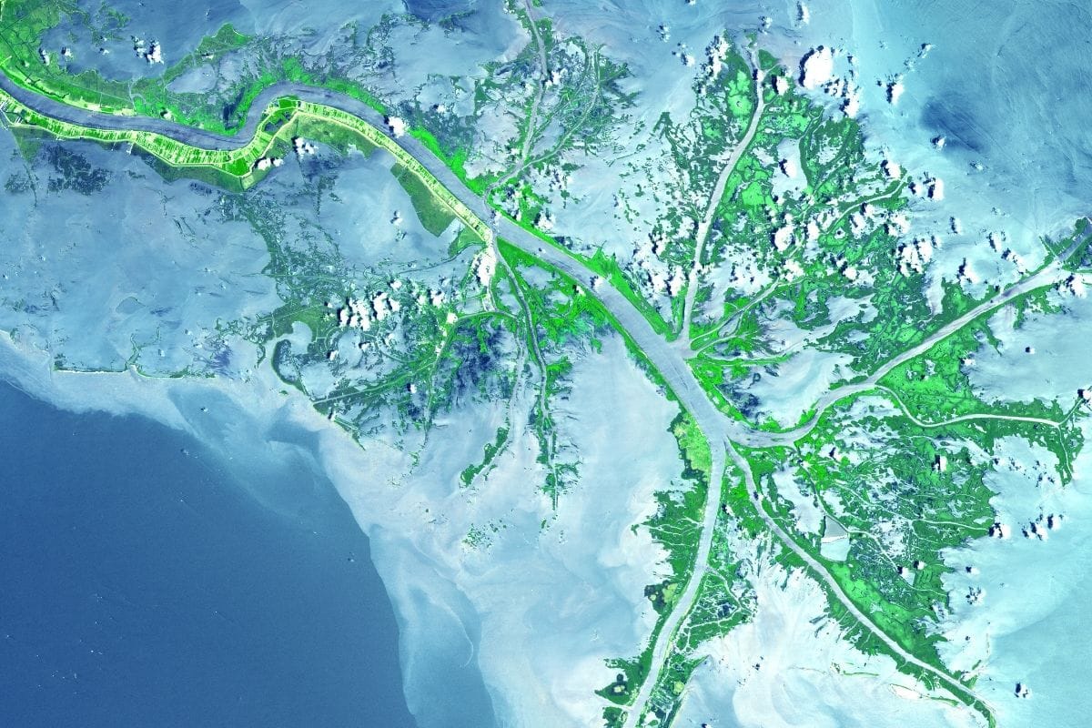
Rather than ending neatly at one picturesque point, the Mississippi divides into channels and distributaries as it approaches the coast. From above, some of these waterways resemble the spreading toes of a bird's foot, which is why part of the modern delta is often called the Bird's Foot Delta.
The geography explains why there isn't one obvious beach where families can stand and watch a single stream of Mississippi water enter the Gulf.
The river's ending is considerably more complicated—and much more interesting—than that.
How a River Builds Land
For most of this journey, we've thought about the Mississippi as water moving across land.
Here we need to reverse that idea because the river can create land.
Water flowing from the continent carries enormous quantities of sediment—tiny particles of sand, silt and clay eroded from landscapes throughout the Mississippi watershed. When river water slows or spreads near the coast, some of that sediment settles.
Over long periods, layers accumulate, wetlands develop, plants take root and new land forms.
Historically, the Mississippi shifted between different channels across southern Louisiana, building one portion of the delta and later abandoning it for another.
This natural wandering helped create much of the landscape around us.
Then People Tried to Hold the River Still
For communities and businesses, however, a river that continually changes course is extremely inconvenient.
People built levees to reduce flooding, strengthened navigation channels and constructed enormous control structures to keep the Mississippi flowing along routes important to cities, ports and industry.
Those projects protected lives and economic activity, but they also changed the natural movement of water and sediment across the delta.
When levees keep floodwater inside the main river channel, sediment that once spread across surrounding wetlands may instead be carried farther toward deep water. Meanwhile, parts of coastal Louisiana continue to subside, and sea-level rise increases pressure on low-lying landscapes.
The result is a difficult problem: we need the levees and navigation channel, but we also need the wetlands those systems can unintentionally starve of sediment.
There is no simple solution.
Why Louisiana's Wetlands Matter
Wetlands aren't empty stretches of mud and grass waiting to become something more useful.
They are already doing important work.
Marshes and other coastal habitats provide nurseries for fish and shellfish, support enormous numbers of birds and other wildlife and contribute to industries and communities that depend upon healthy coastal ecosystems.
Wetlands can also help reduce some of the energy of waves and storm surge before they reach communities farther inland.
Losing them therefore affects wildlife, fisheries, local cultures and human safety.
This makes the final section of our Great River Road journey surprisingly important. We began by asking where a river starts; we're ending by discovering that what happens at the end of a river matters just as much.
Coastal Louisiana Is Changing
Louisiana has experienced extraordinary coastal land loss over the past century.
The causes are interconnected and include subsidence, sea-level rise, storms, alteration of natural sediment flows, canals and other human changes to the landscape.
For families, the scale can be difficult to understand from a car window. A marsh still looks like a marsh and open water can still look beautiful, but historical maps and aerial images reveal places where land once existed and has since disappeared.
That's why restoration projects across coastal Louisiana increasingly focus on reconnecting portions of the river with wetlands, restoring marshes and ridges and using sediment more strategically.
This isn't simply environmental restoration. Communities, fisheries, wildlife habitat, industry and cultural traditions are all tied to what happens to the coast.
Do We Need to Drive to the Absolute End?
No—and I wouldn't recommend turning the final day into a determined hunt for a theoretical “End of the Mississippi” marker.
The lower river passes through heavily industrialised areas and complex wetland landscapes, while some routes toward its outer reaches offer limited visitor facilities. Working ports and river infrastructure are not places for families to wander simply because a map suggests we've reached the final few miles.
More importantly, the Mississippi doesn't finish in the tidy way our road-trip instincts might prefer. Water divides among channels and distributaries and mixes gradually with the Gulf.
There isn't one magical drop we need to watch cross an invisible finish line.
The better goal is to experience the coastal landscape the river created.
Choose a Meaningful Final Experience
Depending on current conditions, weather and the family's interests, that might mean taking a responsible wetland or wildlife excursion, visiting an accessible coastal community or finding a safe viewpoint where land, marsh and open water begin merging.
Choose an experience with proper visitor access rather than trying to reach the most distant point on the map.
If we take a boat excursion, I'd again favour an operator focused on ecology, local knowledge and responsible wildlife viewing.
By now we've learned enough about the Mississippi to understand that its ending isn't a geographical trophy. It's an ecosystem.
Family Travel Insight
Southern Louisiana weather can change quickly, and heat, thunderstorms, tropical systems and high water can affect roads and boat operations.
Check current conditions before travelling into remote coastal areas, carry water and don't rely on mobile coverage everywhere.
Changing the plan because of weather isn't missing the finale.
It's sensible travel.
Look Back at the Map
Before ending the journey, pull out the map one more time.
Find Lake Itasca, then trace the river south through Minnesota, Wisconsin, Iowa, Illinois and Missouri; alongside Kentucky and Tennessee through portions of the river corridor; then past Arkansas and Mississippi before finally reaching Louisiana.
The line twists so much that simply following it with a finger takes time.
Now think about everything that line connected: forests and prairies, cities and farms, Indigenous homelands and ancient earthworks, mills and steamboat ports, battlefields and cotton fields, music studios and civil rights landmarks, bayous and wetlands.
All of those landscapes belong to the same river system.
The Mississippi We Met Along the Way
At Lake Itasca, children could walk across the river. In Minneapolis, falling water helped power mills and build an industrial city, while farther down the Upper Mississippi, wooded bluffs, backwaters and bald eagles revealed a river rich with wildlife.
At Effigy Mounds and Cahokia, we encountered Indigenous histories extending centuries beyond the cities that later developed along the river. In Hannibal, the Mississippi entered American literature through the experiences and imagination of Mark Twain.
At St. Louis, river commerce, westward expansion and the struggle over slavery intersected beside the water. In Memphis and the Mississippi Delta, movement along the river helped carry people and musical traditions that shaped blues, soul and rock 'n' roll.
At Vicksburg, control of the Mississippi became a decisive military objective during the Civil War.
Then, in Louisiana, levees, bayous, Cajun and Creole cultures, New Orleans and disappearing coastal wetlands showed us perhaps the most complicated relationship between people and the river of the entire journey.
The Mississippi didn't provide a background to those stories.
Again and again, it helped make them possible.
One Last Family Moment
Perhaps our final stop isn't dramatic at all.
We're standing beside a Louisiana wetland in the warm evening air, far from the cool pine forests where this journey began. Marsh grasses move gently in the breeze while birds settle into the shallows, and somewhere beyond us, channels carrying Mississippi water continue toward the Gulf.
Ask the children if they remember standing in the river at Lake Itasca.
Perhaps someone still has the photograph: there they are, balancing on rocks with water barely reaching their ankles, smiling because they can say they walked across the Mississippi.
Now think about what that little stream became.
It gathered water from an enormous portion of the continent, passed communities that depended upon it, cities that reshaped it and landscapes it helped create. It carried goods, people, ideas and music, while generations built bridges, levees, locks, ports and towns along its banks.
We spent thousands of miles watching that transformation happen.
And that's the real reward of the Great River Road. We didn't simply see the Mississippi at the beginning and again at the end.
We watched a river become a world.
Why the Great River Road Stays With You
The Great River Road isn't the easiest journey in this guide.
It requires time. There are long driving days, major cities, small towns and historical sites that deserve more attention than a quick photograph. No family should attempt to see everything we've discussed, and there is absolutely no prize for following every official mile.
But few North American road trips reveal so many different sides of one country.
The journey begins with geography simple enough for a child to understand: here is a little river, and we're going to follow it.
Then the road gradually complicates that idea.
The river becomes transportation, industry and habitat. It becomes a boundary and a highway, a source of wealth and a focus of war. Communities use it, celebrate it, pollute it, protect themselves from it and attempt to control where it flows.
Along its banks, families encounter stories of Indigenous peoples, settlers, enslaved people, immigrants, soldiers, farmers, river workers, musicians, writers and civil rights leaders. Some of those stories are inspiring; others are painful, but together they help explain the country through which the Mississippi flows.
And perhaps that's what makes this road trip so memorable.
We begin by following a river.
By the time we reach Louisiana, we realise we've been following America through the middle of its story.
Chapter Eleven
Hawaii's Road to Hana — Where the Journey Really Is the Destination
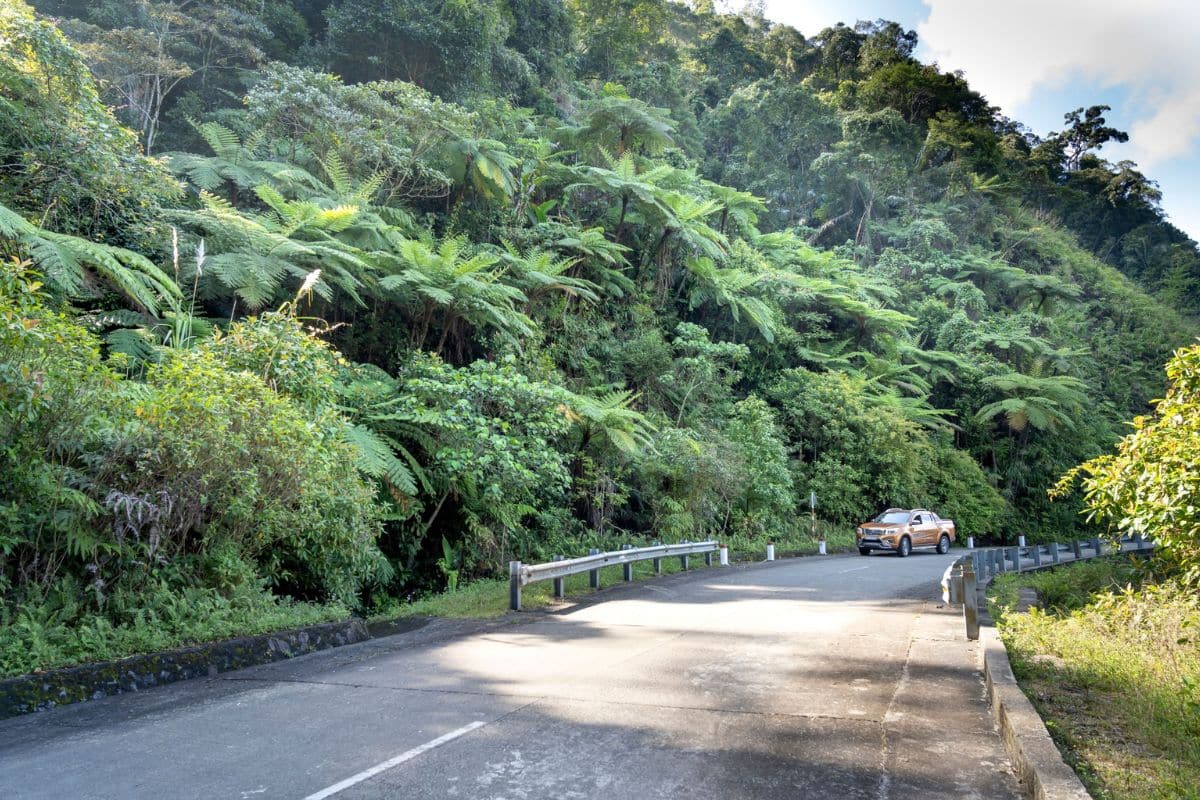
Paia → Twin Falls → Keʻanae Peninsula → Waiʻānapanapa State Park → Hana → Kīpahulu → Haleakalā Summit
After thousands of miles across mainland North America, our final road trip takes us somewhere completely different.
We cross the Pacific to Maui, Hawaii, where a narrow road winds through tropical rainforest, crosses one-lane bridges, passes waterfalls and small communities, and occasionally reveals the brilliant blue Pacific far below.
This is the Road to Hana, one of Hawaii's most famous drives, yet calling it a drive doesn't quite capture what makes it special.
Hana itself is a small community on Maui's eastern coast, but reaching it isn't a matter of getting from one attraction to another as efficiently as possible. The road is the experience. Rainforest, waterfalls, volcanic coastline, Hawaiian history, local food and communities appear gradually as we travel east.
Families who race toward Hana trying to tick off every famous stop often miss the very thing they've come to experience.
So this time, we're going to travel differently. We'll leave early, choose our stops rather than attempting all of them, respect the people who live along the route and allow the road enough time to tell us where we are.
Paia — Where the Journey Begins
Our Road to Hana journey begins near Paia, a small town on Maui's north shore.
This is a sensible place to fuel the car, pick up water and snacks and make sure everyone has what they need before heading east. Services become much more limited once we're farther along the highway, and this isn't the morning to discover that somebody's water bottle is still sitting beside the hotel bed.
Breakfast is worthwhile too.
The Road to Hana may cover a relatively modest distance, but driving times can be deceptive. Curves, bridges, traffic and stops mean the journey takes considerably longer than the mileage suggests.
That's part of why we aren't treating Hana as a race.
Family Travel Insight
Start early enough to enjoy the journey without feeling pressured to reach every stop before dark, but don't create a dawn departure simply because an online itinerary tells you to.
A well-rested family enjoying six good stops will have a much better day than an exhausted family attempting sixteen.
Before leaving Paia, download anything you expect to need for navigation too. Mobile service can be unreliable along portions of the route.
The Road Begins to Change
East of Paia, Maui gradually becomes greener. Buildings thin out, vegetation grows denser and the highway begins curling through the landscape rather than cutting directly across it.
Soon we're entering the windward side of the island.
Moist trade winds moving across the Pacific are forced upward by the enormous slopes of Haleakalā, where rising air cools and releases moisture. The result is the lush landscape we're about to spend the day travelling through.
Rain isn't an inconvenience accidentally interfering with our tropical vacation. It's one of the reasons this landscape exists, feeding streams and waterfalls, supporting forests and agricultural areas and eventually returning toward the ocean.
That mountain-to-sea connection will become increasingly important as the journey continues.
A Road Built Through Difficult Country
The modern Hana Highway developed from older routes connecting communities along East Maui, with major road and bridge construction taking place during the early twentieth century.
Even today, the geography makes the journey memorable.
The highway twists around steep valleys, crosses dozens of bridges and repeatedly squeezes between rainforest-covered slopes and dramatic coastline. Many bridges are only one lane wide, requiring drivers to slow down and cooperate with approaching traffic.
For children, the bridges may quickly become part of the entertainment. For whoever is driving, they require considerably more concentration.
Road-Trip Tip
The person behind the wheel should drive, not attempt to admire every waterfall at the same time.
Use designated pull-offs when you want to stop, don't block the roadway for photographs and never assume that a narrow shoulder is safe simply because another car has parked there.
There will always be another view.
Remember — This Is Someone's Everyday Road
The Hana Highway may be an attraction to us, but for people living in East Maui it is also the road they use to reach work, school, appointments, shops and home.
That deserves some thought.
If local traffic builds behind us and there is a safe place to pull over, allowing it to pass is simple courtesy. We shouldn't stop on bridges, block driveways or enter private property because a waterfall or viewpoint appears tempting.
Some places promoted online as “secret” attractions are actually on private land or reached by parking where residents don't want visitors stopping.
A photograph isn't worth disrespecting somebody's home, and teaching children that lesson is part of travelling well.
Don't Try to Stop Everywhere
One of the easiest ways to ruin the Road to Hana is to arrive with an enormous checklist: waterfall number one, viewpoint number two, banana bread number three, another waterfall, another photograph and then straight back into the car.
By lunchtime, nobody remembers which waterfall was which.
Instead, choose a handful of places that give the day variety: perhaps a rainforest walk, a coastal viewpoint, Keʻanae, Waiʻānapanapa State Park, good local food and enough time in Hana that arriving there doesn't feel like crossing a finish line.
Then leave room for something unexpected.
That's where this road is at its best.
When the Rain Arrives
Eventually, there's a good chance the windscreen will begin collecting drops.
Within minutes, the rain may become heavy enough that the wipers are working quickly and the rainforest seems to disappear behind a curtain of water. Then, almost as suddenly, it can ease.
Sunlight returns through wet leaves, streams run more strongly and somewhere around the next bend a waterfall may be considerably fuller than it was earlier.
This changing weather is part of East Maui, but heavy rain also deserves respect. Streams can rise quickly, rocks become slippery and conditions at a waterfall can change because of rainfall occurring farther uphill where we can't see it.
Waterfall Safety
Never assume a swimming hole is safe because people are already in the water or because an old travel article recommends it.
Flash flooding can occur in Hawaiian streams, while falling rocks, slippery surfaces and strong water create additional hazards around waterfalls.
Check current conditions, obey closure signs and enjoy some waterfalls from a distance.
The goal is to bring home memories, not an emergency-room story.
Stop Long Enough to Hear the Rainforest
At one of the safe roadside stops or trails, turn off the engine and give the landscape a few minutes.
Without the sound of the car, East Maui changes. Water moves somewhere beneath the vegetation, leaves drip after a passing shower, birds call from the forest and the breeze moves through plants growing in layers from the roadside toward the canopy.
Children may notice tiny things first: an enormous leaf, a brightly coloured flower, water running across a rock or something moving in the undergrowth.
We don't need to identify everything.
Sometimes curiosity is enough.
Hawaii's Forest Isn't Quite What It Seems
The lushness can make this landscape appear completely untouched, but it isn't.
Hawaii's extreme isolation allowed plants and animals to evolve here for immense periods with relatively little outside competition. Polynesian settlers later brought species important for food and daily life, and subsequent arrivals introduced many more.
Today, East Maui contains a mixture of native Hawaiian species, culturally important plants brought by Polynesian voyagers and later introductions from around the world. Some introduced species have become invasive and threaten native ecosystems.
That's an important idea for children because it changes the way we look at a beautiful landscape.
Something can be green, tropical and spectacular without being ecologically simple.
We'll understand that even better when we eventually climb high onto Haleakalā, but first the road brings us to one of the places where Maui's landscape and Hawaiian culture come together particularly well.
Keʻanae Peninsula
The turn toward Keʻanae Peninsula takes us away from the highway and down toward a rugged finger of volcanic coastline.
The landscape opens dramatically. Black lava rock meets the Pacific while waves break against the shore, and behind the coast the green slopes of East Maui rise toward Haleakalā.
It's a striking place, but the reason to stop isn't simply the view.
Keʻanae helps us begin understanding how generations of Hawaiians lived within this landscape.
Kalo — More Than a Crop
Around Keʻanae and other parts of East Maui, families may see patches used for growing kalo, the Hawaiian name for taro.
Kalo has been cultivated in Hawaii for generations and became one of the most important foods carried and grown by Polynesian settlers. Its starchy underground corm can be cooked in several ways and is famously used to make poi.
But describing kalo only as food misses much of its significance.
In Hawaiian tradition, kalo is deeply connected with genealogy, family and relationships between people and the land. One important creation tradition tells of Hāloa, connecting the first kalo plant with the ancestry of the Hawaiian people.
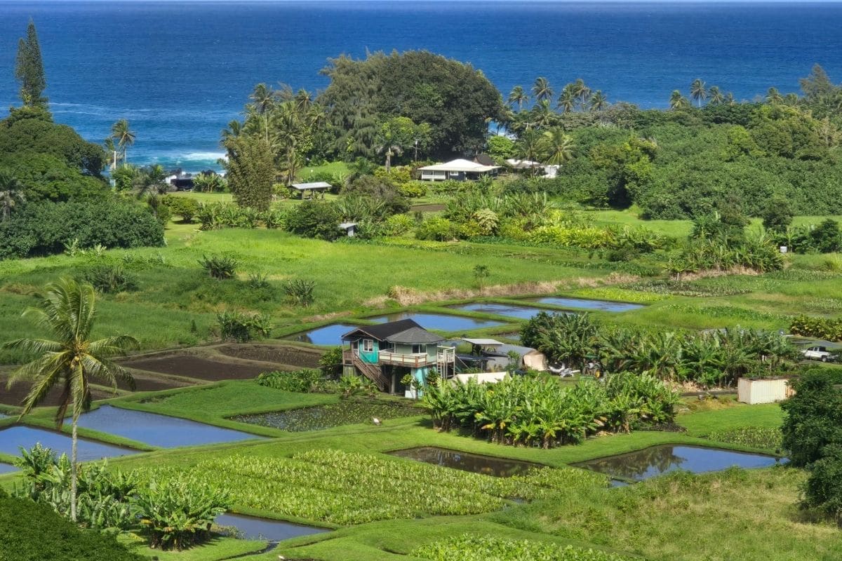
That gives a field a different meaning.
We're looking at food, family, culture and place growing together.
From Mountain to Sea
Traditional Hawaiian land management also developed around relationships extending from upland areas toward the ocean.
Many communities organised land through divisions known as ahupuaʻa, which generally extended across different environmental zones and provided access to resources from mountain areas through forests and agricultural land toward the coast and sea.
Water connected those places. Rain falling high on the mountain fed streams, which supported agriculture and communities before continuing toward the ocean, where marine resources provided another part of daily life.
This isn't merely an interesting historical idea because we've been watching the same system from the car.
The rain, waterfalls, kalo fields, streams and Pacific aren't separate attractions scattered along the Road to Hana. They're connected parts of the landscape.
Family Travel Insight
Keʻanae is a good place to slow down rather than invent another schedule.
Look at the coastline, notice the cultivated landscape and let children stretch their legs where access is permitted.
But treat the ocean seriously. Waves striking exposed lava shoreline can be powerful and unpredictable, so this isn't a place for children to scramble close to the water simply because the rocks look inviting.
Banana Bread & the Importance of Stopping for Food
Somewhere around this stage of the journey, the car may acquire the smell of warm banana bread.
This is entirely acceptable.
Roadside stands and small local businesses are part of the Road to Hana experience, and stopping for fruit, baked goods or another snack gives families a chance to support businesses along the route rather than treating East Maui as scenery viewed through a windscreen.
It also improves morale considerably. No family has ever become less agreeable because somebody produced banana bread at the right moment.
Eat it while it's warm.
There will be plenty more to learn after lunch.
The Road Continues East
Back on the highway, the curves continue and the rainforest closes around us again.
By now, something subtle has changed.
At the beginning of the morning, we were looking for waterfalls and viewpoints. After Keʻanae, we're beginning to see the connections between them.
Rain falls on Haleakalā, water moves down its slopes, communities developed around that water and the streams eventually reach the Pacific.
The scenery hasn't become any more beautiful than it was an hour ago.
We've simply started understanding what we're looking at.
Ahead lies a place where volcanic rock, forest and ocean come together in one of the most memorable landscapes on the entire Road to Hana:
Waiʻānapanapa.
Waiʻānapanapa State Park
Where Black Lava Meets the Pacific
As we approach Hana, Waiʻānapanapa State Park gives us one of the most dramatic changes of scenery on the entire drive.
After hours surrounded by brilliant green rainforest, the coastline suddenly turns black.
Dark volcanic rock meets intensely blue water, tropical vegetation crowds the shore and waves break against lava cliffs and sea caves. At Paʻiloa Beach, black sand covers the small cove beneath the surrounding greenery.
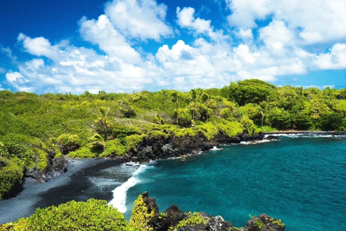
It's easy to understand why this has become one of East Maui's most photographed places, but photographs aren't the best reason to come.
Get out of the car and give the family enough time to explore.
Why Is the Sand Black?
Black-sand beaches begin with volcanic rock.
When lava reaches the ocean, waves and weather gradually break the dark rock into smaller fragments. Those volcanic particles accumulate along portions of the coastline, producing beaches very different from the pale sand many children associate with Hawaii.
Pick up a little sand and look closely at it, but leave it on the beach.
The coastline is still being shaped by the same basic forces that created the island: volcanoes, water, weather and time.
That makes Waiʻānapanapa more than a beautiful stop.
It's geology happening in front of us.
Don't Expect a Gentle Swimming Beach
Paʻiloa may look inviting, but families shouldn't automatically treat it as a swimming stop.
Ocean conditions along this exposed coastline can be powerful and change quickly. Waves, currents, slippery rocks and submerged hazards mean that conditions should determine what we do rather than what we'd hoped to do when planning the day.
If the ocean isn't suitable for swimming, nothing has gone wrong.
Walk the shoreline, explore permitted trails, investigate the volcanic landscape and enjoy being somewhere that looks completely different from the Maui we left that morning.
There is plenty here without getting into the water.
Reservations Are Essential
This is one Road to Hana stop that cannot simply be left to chance.
Non-Hawaii residents visiting Waiʻānapanapa State Park must make an advance reservation, with separate reservations required for parking and entry. Hawaii's state parks system currently advises visitors that reservations can be made up to 30 days in advance and no later than the day before the visit. Same-day reservations aren't available.
We'll replace the existing temporary link with the clean official Waiʻānapanapa reservation link during our dedicated linking pass.
Reservations use designated time periods, so this is the one stop around which I'd organise the middle portion of the day's itinerary.
Family Travel Insight
Don't build a Road to Hana schedule that requires hitting six earlier stops at exact times before a Waiʻānapanapa reservation.
Choose a comfortable reservation period, allow generous travel time and regard anything else you manage to enjoy beforehand as a bonus.
The road is unpredictable enough without turning the family vacation into a race against a parking reservation.
Hawaiian Place Names Matter
Waiʻānapanapa may initially look intimidating to visitors unfamiliar with Hawaiian.
Try saying it rather than avoiding it.
Hawaiian place names aren't decorative labels added for tourists. They carry language, history and connections with landscapes that long predate the modern visitor industry.
We don't need to become Hawaiian-language experts during a vacation, and we certainly don't need to pretend we understand cultural meanings we haven't learned.
But making an effort with the names of the places we're visiting is a simple form of respect.
Children are often better at this than adults because they're less worried about getting everything perfect.
Listen, try, learn and then use the name.
A Coastline With Stories
Waiʻānapanapa is also part of a Hawaiian cultural landscape rather than simply a geological attraction.
The park contains archaeological and cultural features, including an ancient coastal trail, and Hawaiian traditions are associated with places within the park.
This is where we need to be careful about the difference between experiencing a cultural place and treating it as a prop.
Stay on permitted routes, respect barriers and don't remove rocks, sand or anything else from the landscape.
We can enjoy somewhere deeply without needing to take part of it home.
The Final Stretch to Hana
Leaving Waiʻānapanapa, Hana is close.
That might sound as though the journey is almost over, but it isn't. In fact, this is where we're going to make a decision that changes the character of the entire trip.
Instead of arriving in Hana, glancing at the clock and immediately worrying about the long drive back, we're going to give East Maui more time.
For families whose Maui itinerary and budget allow it, staying overnight in or near Hana can turn the Road to Hana into a far more relaxed experience.
It means we don't have to squeeze Kīpahulu into an already exhausting day, children can get out of the car, and Hana gets to become a place rather than a turnaround point.
Hana
The Destination That Doesn't Need to Be the Main Event
After all the curves, bridges, waterfalls and rainforest, arriving in Hana can feel surprisingly understated.
There isn't a giant monument announcing that we've completed one of the world's famous drives.
That's part of the appeal.
Hana is a living East Maui community, not an attraction constructed to reward us for reaching the end of the highway.
Slow down. Get something to eat, find the accommodation if we're staying overnight and let everyone stretch, swim where conditions and access make it appropriate, or simply enjoy having nowhere else to drive for a while.
After a day spent looking through car windows, doing less can feel wonderful.
Why I Like an Overnight for Families
The Road to Hana is commonly presented as a day trip from Maui's resort areas.
It certainly can be, but “possible in one day” and “best for every family” aren't the same thing.
A same-day return can mean many hours in the car, particularly once stops and traffic are included. Children who enjoyed waterfalls in the morning may be considerably less enchanted by another hundred curves late in the afternoon.
Staying overnight lets us divide the experience.
Day One becomes the journey through East Maui to Hana, while Day Two gives us time for Kīpahulu and the Pīpīwai Trail before we eventually return.
We aren't adding more attractions.
We're adding time to enjoy the ones we've chosen.
Family Travel Insight
An overnight isn't essential, and accommodation around Hana can be limited and expensive.
If it doesn't suit the family's budget or Maui itinerary, a day trip can still be excellent. Simply choose fewer stops and decide on a sensible turnaround time rather than trying to reproduce somebody else's enormous online checklist.
There is no prize for seeing every waterfall.
Before Resorts, Roads and Rental Cars
Hana also gives us an opportunity to understand that Hawaiian history didn't begin when travellers discovered the beauty of this coastline.
Polynesian voyagers reached the Hawaiian Islands many centuries ago after crossing vast distances of the Pacific.
They didn't arrive accidentally in the simplistic sense sometimes imagined.
Pacific navigators developed sophisticated traditions for reading the natural world. Stars provided direction at night, while ocean swells, winds, clouds, birds and other observations helped experienced navigators understand where they were and where land might lie.
Think about the scale of that achievement.
The Pacific we've been admiring through gaps in the rainforest was once crossed in voyaging canoes without GPS, satellite maps or modern navigational instruments.
For children, that may be one of the most remarkable stories anywhere in Hawaii.
Wayfinding — Learning to Read the World
Traditional Polynesian navigation is often described as wayfinding.
A skilled navigator doesn't depend upon one clue. Stars rise and set at known points, ocean swells arrive from particular directions, clouds can behave differently near islands, birds may provide information about nearby land, and winds and currents add further clues.
Knowledge accumulated over generations and was taught, remembered and practised.
That changes the way we look at the Pacific.
To us, the ocean can appear almost impossibly empty. To a navigator who knew how to read it, the ocean contained information.
A Question for Children
Ask them how they would find Hawaii if the phone, compass and map suddenly disappeared.
Could they use the sun, stars, waves, birds or wind?
It's a much more interesting conversation than simply telling them that Polynesians were great navigators.
Let them discover why.
From Voyagers to Hawaiian Communities
The first Polynesian settlers brought knowledge, plants and animals needed to establish life on isolated islands.
Over generations, distinctive Hawaiian communities, traditions and systems of land management developed in response to the islands themselves.
The ahupuaʻa we encountered around Keʻanae helps us understand part of that relationship. Upland forests, freshwater, agricultural areas and marine resources weren't viewed as unrelated pieces of scenery; communities depended upon connections among them.
That's particularly easy to appreciate on East Maui because we've just travelled from wet mountain slopes through streams and cultivated landscapes toward the Pacific.
The geography makes the idea visible.
Hawaii Was a Kingdom
Centuries later, another major transformation occurred.
During the late eighteenth century, Kamehameha I brought most of the Hawaiian Islands under his rule, establishing the Hawaiian Kingdom. By 1810, Kauaʻi and Niʻihau had joined the unified kingdom peacefully under an agreement with Kaumualiʻi.
For much of the nineteenth century, Hawaii existed as an internationally recognised independent kingdom with its own monarchs, laws, diplomacy and relationships with foreign powers.
That's important context for families because Hawaii's eventual incorporation into the United States wasn't simply the natural next step in an inevitable story.
There was already a Hawaiian nation here.
Queen Liliʻuokalani & the Overthrow of the Hawaiian Kingdom
Queen Liliʻuokalani, who became monarch in 1891, was the last reigning sovereign of the Hawaiian Kingdom.
In 1893, a group composed largely of American and European business interests, supported by the presence of U.S. military forces, overthrew the Hawaiian monarchy.
The United States annexed Hawaii in 1898, and Hawaii eventually became the 50th U.S. state in 1959.
Those few dates summarise an enormously complicated and painful history, and we don't need to turn our family road trip into a political lecture.
But we shouldn't erase that history either.
Native Hawaiian culture survived profound disruption, and questions involving sovereignty, land, language and cultural preservation remain meaningful in Hawaii today.
Knowing that helps us understand why respect for Hawaiian places and culture isn't simply a matter of good tourist manners.
History is still present.
Hawaiian Culture Isn't Something From the Past
It's easy for visitors to encounter Hawaiian language, music, hula or traditional stories and unconsciously treat them as remnants of an earlier Hawaii.
They aren't.
Hawaiian culture is living culture.
The Hawaiian language experienced severe decline after the overthrow period but has undergone an important revitalisation, including Hawaiian-language immersion education and renewed use in public and cultural life.
Hula likewise isn't simply entertainment performed for visitors. It can preserve genealogy, history, stories and relationships with particular places.
The Hawaiian values we encounter along this journey aren't museum exhibits either.
They belong to people living here now.
That understanding changes how we travel. We don't need to become experts; we simply need to arrive willing to learn.
Aloha ʻĀina — Caring for the Land
One Hawaiian idea particularly relevant to travellers is aloha ʻāina, often expressed as love, care and responsibility toward the land.
For a visiting family, we shouldn't pretend that a complex cultural concept can be reduced to a tourism slogan.
But it can encourage some very practical behaviour: stay on trails, respect private property, don't remove natural or cultural objects, follow rules designed to protect fragile places and support local communities where we reasonably can.
Most importantly, remember that the spectacular landscape we've come to enjoy is also somebody's homeland.
That's a considerably more meaningful souvenir from Hawaii than another handful of sand.
Evening in Hana
After a long day, Hana becomes quiet.
Maybe we've eaten something simple and everyone is tired in the satisfying way that comes after a day filled with new experiences. The children remember black sand and banana bread, someone else remembers the waterfalls, and perhaps the adults are still thinking about Polynesian navigators crossing the Pacific or the fact that Hawaii was once an independent kingdom.
Nobody needs another attraction tonight.
That's one of the advantages of staying.
Instead of immediately retracing every curve we've just driven, we can allow the day to finish where it brought us.
Tomorrow, the road continues beyond Hana toward Kīpahulu, where streams descend the slopes of Haleakalā through forest toward the Pacific.
And there, the mountain we've been travelling across all along finally begins to reveal itself.
Kīpahulu — Where Mountain Meets Sea
The next morning, we continue beyond Hana toward the Kīpahulu District of Haleakalā National Park.
Kīpahulu lies about 12 miles beyond Hana, but once again, distance doesn't tell us much about driving time. The road remains winding and narrow, and this is not somewhere to arrive late in the day hoping to squeeze in a major hike before closing.
What makes Kīpahulu special is the connection we've been following since the beginning of the Road to Hana.
Water falls high on the slopes of Haleakalā, travels through forest and streams and eventually reaches the Pacific. Hawaiian communities lived within this mountain-to-sea landscape for generations, using and managing resources across different environmental zones.
Here, that relationship becomes particularly visible.
Mountain, freshwater, forest and ocean all meet within the same landscape.
ʻOheʻo Gulch
Near the coast, the ʻOheʻo Gulch carries water toward the Pacific through a series of pools and cascades.
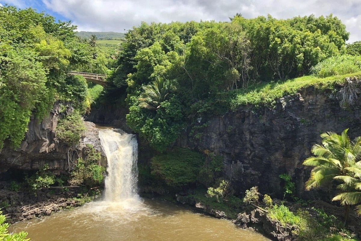
For years, many visitors knew this area by the tourism nickname “Seven Sacred Pools.” The name can be misleading. There are more than seven pools, and the phrase wasn't the traditional Hawaiian name for the site.
Using Pools of ʻOheʻo or simply ʻOheʻo Gulch keeps us connected with the actual place rather than an old marketing label.
Families can view the pools from the Kūloa Point Trail, a short loop beginning near the Kīpahulu Visitor Center and continuing toward the coast.
But there's an important current safety restriction.
The Pools of ʻOheʻo are not accessible for entry. The National Park Service directs visitors to view them from the trail rather than entering the pools.
That doesn't make the stop less worthwhile.
The real experience is seeing freshwater descending from Haleakalā and meeting the ocean—a process we've been discussing throughout East Maui.
Don't Plan Around Swimming
Older guidebooks, photographs and online posts may show visitors swimming in the pools.
Don't build the family's day around that expectation.
Conditions in Hawaiian streams can change quickly, particularly after heavy rainfall farther upslope. Flash flooding, rockfalls and strong water can create hazards even when conditions where we're standing initially appear reasonable.
This is another good example of why current official information matters more than an old photograph.
We haven't travelled this far to reproduce somebody else's vacation picture.
We're here to experience Kīpahulu as it is today.
Pīpīwai Trail
One of Maui's Great Family Adventures
For families with children capable of a moderately strenuous hike, the Pīpīwai Trail is one of the standout experiences of the entire Road to Hana.
The trail climbs inland from the Kīpahulu area alongside freshwater streams and through a landscape that changes repeatedly as we gain elevation.
The complete hike to the Waimoku Falls viewing area and back is approximately four miles round trip, with about 800 feet of elevation gain. The National Park Service classifies it as moderately strenuous.
Four miles may not sound enormous, but tropical heat, humidity, rain, mud, roots and elevation can make it feel considerably more substantial.
So we aren't going to race.
The trail itself is the attraction.
Family Travel Insight
Bring proper footwear, water, snacks, rain protection and sun protection, and allow considerably more time than the mileage alone suggests.
The trail can be uneven, rocky, rooted and slippery after rain.
For families with younger children—or anyone who simply doesn't want the full hike—there's an excellent shorter option coming almost immediately.
Makahiku Falls
Roughly half a mile along the Pīpīwai Trail, we reach an overlook toward Makahiku Falls.
The waterfall drops nearly 200 feet through a lush valley, giving us a substantial reward surprisingly early in the hike. Families can turn around here for a roughly one-mile round trip rather than continuing all the way to Waimoku Falls.
I particularly like having that option in a family guide.
Not every worthwhile hike needs to end at the farthest possible destination.
If the children are already tired, the weather is deteriorating or somebody's knees are suggesting that half a mile was an excellent idea, Makahiku can be the destination.
Turning around isn't failure.
It's good judgement.
Deeper Into the Forest
If everyone is comfortable continuing, the trail climbs farther into the vegetation.
The forest changes around us as we move away from the coast. Roots cross portions of the path, streams appear through openings in the trees and moisture seems to hang in the air.
This is where walking rather than driving makes such a difference.
Yesterday we experienced rainforest primarily from the Hana Highway, repeatedly stepping out of the car and then returning to it.
Today we're moving through the landscape at human speed.
We hear more. We notice more. And we begin to understand how much the car was filtering out.
The Bamboo Forest
Then the trail enters one of its most memorable environments.
Bamboo rises on both sides.
The grove appears roughly a mile into the Pīpīwai Trail, and boardwalk sections help carry hikers through parts of the wet forest.
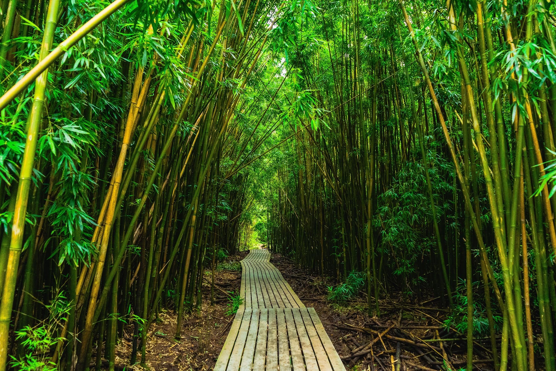
When the wind moves through the grove, bamboo stalks can knock and creak against one another while leaves rustle high overhead.
Stop talking for a moment.
Listen.
The sound is unlike anything else we've encountered on this road trip.
Children who have spent eleven chapters being asked to look at landscapes now get one that is almost as interesting with their eyes closed.
The forest has its own soundtrack.
Bamboo Has a Human Story Too
Bamboo isn't simply an exotic-looking backdrop.
Polynesian voyagers brought ʻohe, bamboo, to Hawaii, where it could be used in practical and cultural ways. Bamboo served purposes ranging from carrying water and making irrigation channels to creating musical instruments such as the ʻohe hano ihu, or Hawaiian nose flute. Other bamboo varieties arrived during later periods of immigration.
That gives us another example of something we've seen throughout the chapter.
Plants can travel with people.
They become food, tools, medicine, building materials or parts of cultural traditions, and over generations they become woven into people's relationships with a place.
The landscape we're walking through therefore contains both natural and human history.
Boardwalks, Mud & Rain
Parts of the bamboo section use boardwalks, but don't interpret that as meaning the entire hike is an easy constructed path.
Conditions can be muddy and slippery, especially after rain. The National Park Service specifically warns hikers that the trail is uneven and can become slick.
This is where children who normally avoid every puddle may suddenly become fascinated by mud.
Let them enjoy the adventure within reason, but keep everyone on the established trail.
Going off-trail isn't simply unnecessary; portions of Kīpahulu protect extremely sensitive ecosystems, and areas beyond the permitted trail system are closed to public entry.
The path is where we belong.
Waimoku Falls
Beyond the bamboo forest, the trail eventually approaches Waimoku Falls.
Water drops roughly 400 feet down an immense cliff surrounded by lush vegetation, creating one of the most dramatic waterfall landscapes in Haleakalā National Park.
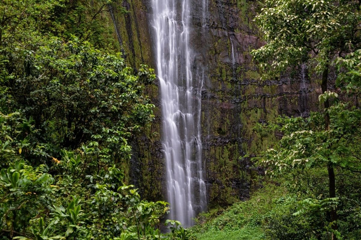
After two miles of climbing, the first good view feels earned.
But this is another place where the safest experience is also the correct one.
The designated viewing area marks the end of the Pīpīwai Trail. The area beyond the trail terminus at Waimoku Falls is closed to entry, both for visitor safety and to protect sensitive habitat.
Don't continue toward the base because someone online did it years ago.
Cliffs, falling rocks, changing water conditions and closed terrain aren't improved by having a better camera angle.
Enjoy the waterfall from where we're supposed to enjoy it.
The Walk Back Is Still Part of the Hike
Reaching Waimoku can create the psychological illusion that we're finished.
We're not.
There are still approximately two miles back to the trailhead, and children who climbed enthusiastically toward a waterfall may suddenly discover that walking in the opposite direction is considerably less exciting.
This is where the snacks become strategically important.
Take a break, drink some water and allow everyone to recover before heading back. On the return, notice things we hurried past while anticipating the waterfall.
The bamboo forest sounds different when we already know it's coming. Makahiku appears from another perspective, and the descent gives our legs an entirely new opinion about those 800 feet of elevation.
A four-mile hike includes all four miles.
Family Hiking Tip
Don't begin the full Pīpīwai Trail too late in the day.
The National Park Service recommends arriving early enough to allow ample time to complete the hike before dark and before the Kīpahulu District closes. Current 2026 park guidance lists the Kīpahulu District as open daily from 9 a.m. to 5 p.m.
Weather and operating conditions can change, so we'll add the official Haleakalā National Park information during our linking pass and encourage families to check it shortly before travelling.
What If We Don't Want a Four-Mile Hike?
Then don't do one.
This guide is about helping families enjoy remarkable places, not proving that everyone can complete the same itinerary.
The shorter walk toward Makahiku Falls, the Kūloa Point Trail and the coastal views around ʻOheʻo can still make Kīpahulu an excellent stop.
Families travelling with toddlers, grandparents or anyone with mobility limitations may get considerably more enjoyment from a shorter experience than from pushing toward Waimoku simply because it's famous.
The best family adventure is the one the family can actually enjoy together.
Kīpahulu Is More Than a Hiking Stop
It's easy to leave Kīpahulu remembering only waterfalls and bamboo.
But this district of Haleakalā National Park protects much more.
Native Hawaiians have lived along this coast for centuries, and the National Park Service describes Kīpahulu as part of a living cultural landscape. The district protects intact ahupuaʻa, the mountain-to-sea land divisions we began learning about around Keʻanae.
Now we've physically travelled through one of those relationships.
We stood beside the ocean, watched freshwater descend through ʻOheʻo Gulch and then followed a stream uphill through forest toward waterfalls fed by moisture falling on Haleakalā.
What sounded abstract yesterday has become something we've experienced with our own feet.
Haleakalā National Park
Two Completely Different Worlds on One Mountain
Here's where the geography becomes extraordinary.
Kīpahulu is part of Haleakalā National Park.
So is the high volcanic summit we'll visit next.
Yet they barely look like the same planet.
Here at Kīpahulu, we're surrounded by subtropical vegetation, streams, waterfalls, bamboo and humid air. At the summit, we'll encounter exposed volcanic terrain, immense views, cold temperatures and rare plants adapted to an environment far above the tropical coastline.
The difference exists because Haleakalā rises more than 10,000 feet above sea level.
As elevation changes, temperature, rainfall, vegetation and habitat change with it.
Our final journey therefore isn't simply taking us along the Road to Hana.
It's taking us from the Pacific Ocean toward the roof of Maui.
Haleakalā — A Hawaiian Cultural Landscape
Before we drive toward the summit, it's worth understanding that Haleakalā isn't merely a volcano with an excellent viewpoint.
The mountain holds profound importance within Native Hawaiian culture and traditions.
The name Haleakalā is commonly translated as “House of the Sun,” and one well-known Hawaiian tradition connects the mountain with the demigod Māui, who captured or restrained the sun so that daylight would last longer.
As with other Hawaiian stories we've encountered, we shouldn't treat this simply as a charming legend attached to a tourist attraction.
Stories connect people with places. They carry values, genealogy, memory and ways of understanding the world.
For Native Hawaiians, Haleakalā is a culturally significant landscape—not simply somewhere visitors go to watch sunrise.
We are guests on a mountain that already has stories.
From Kīpahulu to the Summit
The next part requires an important piece of practical planning.
Although the Kīpahulu District and Summit District belong to the same national park, there is no visitor road directly connecting them through the park.
Reaching the summit requires driving back around Maui and approaching Haleakalā from the other side of the mountain.
That makes this a separate excursion rather than something we casually add after finishing the Pīpīwai Trail.
And that's a good thing.
After a substantial hike at Kīpahulu, nobody needs another long mountain drive simply because the itinerary says we should.
Give Haleakalā its own day.
The summit deserves it—and so does the family.
Haleakalā Summit — From Rainforest to the Roof of Maui
The drive toward Haleakalā Summit feels almost impossible after everything we've experienced around Hana and Kīpahulu.
We begin among farms and communities on Maui's upland slopes, then climb steadily through changing vegetation as the road twists higher.
Trees become smaller and increasingly sparse. Clouds may surround the car for a while before suddenly falling beneath us, revealing blue sky overhead and an enormous layer of white stretching toward the horizon.
Eventually, the lush tropical Maui of yesterday seems to have disappeared.
At more than 10,000 feet above sea level, we're standing in a cold, exposed volcanic landscape that looks more like another world than the same island where we recently walked through bamboo forest.
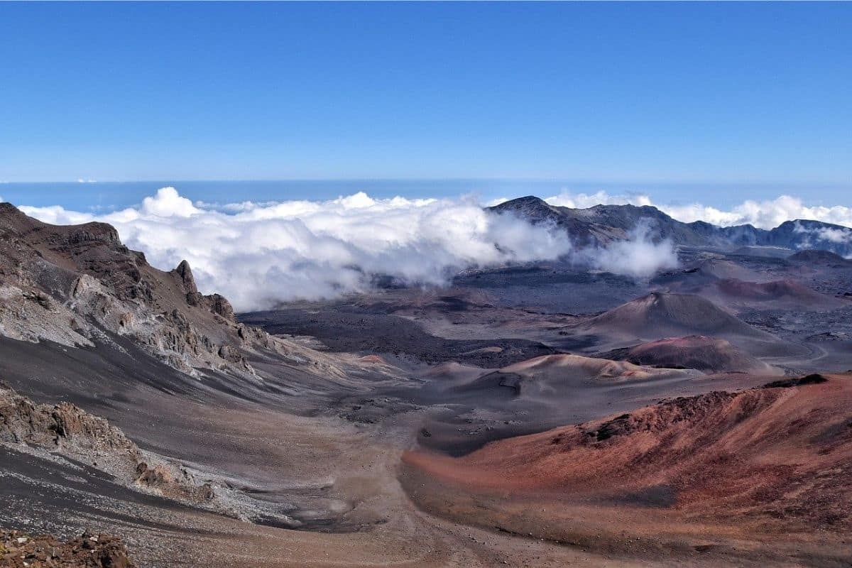
That's the extraordinary thing about Haleakalā: we haven't travelled very far horizontally, but we've travelled through entire ecosystems vertically.
What Are We Actually Looking At?
The enormous depression visible from Haleakalā's summit is often casually called a crater.
The geological story is more complicated.
Haleakalā is a massive shield volcano built through countless eruptions over a very long period. Erosion created large valleys near the summit, and later volcanic activity partially filled portions of those valleys with lava flows and cinder cones.
The landscape we see today therefore wasn't produced by one gigantic explosion that simply blew the top off the mountain.
It's the result of volcanic construction, erosion and later eruptions working together over immense periods of time.
For children, that's a useful reminder that dramatic landscapes don't always have dramatic single-event explanations.
Sometimes geology works slowly.
Very slowly.
Haleakalā Is Not Extinct
The quiet landscape can make the volcano appear ancient and finished.
It isn't considered extinct.
Haleakalā has erupted many times during its history, including within approximately the last thousand years. Scientists therefore classify it as an active volcano, although there is no indication that families visiting the summit should expect an eruption during breakfast.
That distinction is worth understanding.
“Active” doesn't mean currently erupting.
It means the volcano has erupted in relatively recent geological time and could erupt again.
Geological time has a rather different definition of “recent” than the family calendar.
The Air Is Different Up Here
At the summit, families may notice something besides the view.
Breathing can feel different.
The air pressure is lower at more than 10,000 feet, meaning less oxygen is available with each breath than at sea level. Some visitors experience headaches, dizziness, nausea or shortness of breath.
Take things slowly, drink water and don't encourage children to sprint uphill simply because everyone is excited.
The temperature is also dramatically cooler than at the coast, and wind can make it feel colder still.
A family leaving a Maui beach in shorts and sandals can arrive at Haleakalā wondering how Hawaii suddenly became winter.
Family Travel Insight
Bring layers.
That sounds absurd while packing for a tropical island, but a warm jacket, long trousers and closed shoes can make the difference between enjoying Haleakalā and spending twenty minutes shivering beside the car.
Sun protection matters too. High elevation doesn't mean the Hawaiian sun has stopped working.
Haleakalā Silversword
Among the volcanic rock grows one of Hawaii's most remarkable plants.
The Haleakalā silversword, or ʻāhinahina, is found naturally only on Haleakalā.
Its narrow silvery leaves form a dense rosette that helps the plant survive the intense sunlight, cold nights and dry conditions of the high-elevation environment.
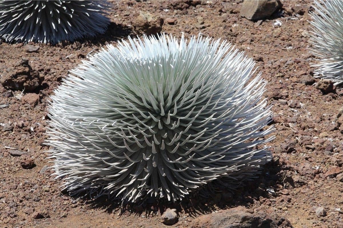
For years, a silversword may remain relatively low to the ground. Then, when it finally flowers, it sends up a spectacular stalk covered with blossoms.
After flowering once, the individual plant dies.
That makes seeing one in bloom particularly special.
A Plant Nearly Lost
Silverswords weren't always as protected as they are today.
During earlier periods, grazing animals and visitors damaged the plants, while people sometimes removed them as souvenirs. Conservation efforts and protection within the national park helped populations recover from severe decline.
Today, visitors need to stay on trails and avoid touching or stepping near the plants.
They may look sturdy enough to survive almost anything the summit can throw at them, but their habitat is fragile.
This is another conservation story children can understand easily.
Something doesn't have to be an animal to need protection.
Native Species on an Isolated Island
The silversword also brings us back to Hawaii's extraordinary isolation.
Species that reached these islands naturally sometimes evolved over generations into forms found nowhere else on Earth. This process produced remarkable levels of endemism, meaning species occur naturally only within a particular geographic area.
Hawaii's isolation helped create that biological uniqueness.
Unfortunately, it also makes native ecosystems particularly vulnerable to introduced predators, invasive plants, habitat loss and disease.
The beautiful landscapes we've travelled through therefore require active protection.
Hawaii may look lush and indestructible from a rental car.
Ecologically, parts of it are remarkably fragile.
Nēnē — Hawaii's State Bird
Families may also encounter the nēnē, or Hawaiian goose.
The species evolved from ancestors related to Canada geese that reached the Hawaiian Islands long ago. Over time, nēnē adapted to Hawaii's very different environment.
By the middle of the twentieth century, the species had declined to extremely low numbers because of hunting, habitat change and introduced predators.
Captive breeding, habitat protection and other conservation work helped prevent its disappearance.
If we see one, enjoy it from a respectful distance and never feed it.
Wildlife doesn't become more Hawaiian because it eats crackers from a parking lot.
Sunrise at Haleakalā
For many visitors, sunrise from Haleakalā is one of Maui's most famous experiences.
Standing above the clouds as the sky begins to brighten can indeed be extraordinary.
It also requires planning.
The National Park Service requires advance reservations for vehicles entering the Summit District between 3:00 a.m. and 7:00 a.m. for sunrise viewing. The reservation is separate from the park entrance fee.
We'll add the clean official National Park Service reservation information during our dedicated linking pass.
For families considering sunrise, however, there's another question worth asking:
Do we actually want to get everybody out of bed in the middle of the night?
Sunrise Isn't Mandatory
A Haleakalā sunrise can be wonderful.
It isn't compulsory.
Depending on where we're staying, reaching the summit before dawn may require waking children extremely early, driving unfamiliar mountain roads in darkness and then standing in cold wind while everyone waits for the sun.
Some families will love that adventure.
Others will spend the entire experience wondering why nobody stayed in bed.
There is nothing inferior about visiting later in the morning or choosing sunset instead.
The mountain is spectacular after breakfast too.
Family Travel Insight
Choose the summit experience that fits the family rather than the one social media says we're supposed to have.
If teenagers are excited about sunrise, make the reservation and turn it into an adventure. If younger children are exhausted from the Road to Hana, visit at a more comfortable time.
The goal is to remember Haleakalā.
Not the argument that happened at 2:30 in the morning.
Sunset — A Different Kind of Magic
Sunset requires no sunrise vehicle reservation, although the summit can still become busy.
Arriving early gives us time to explore before the light begins changing.
As the sun lowers, volcanic colours become richer, shadows stretch across the summit landscape and clouds below may turn gold, pink and orange.
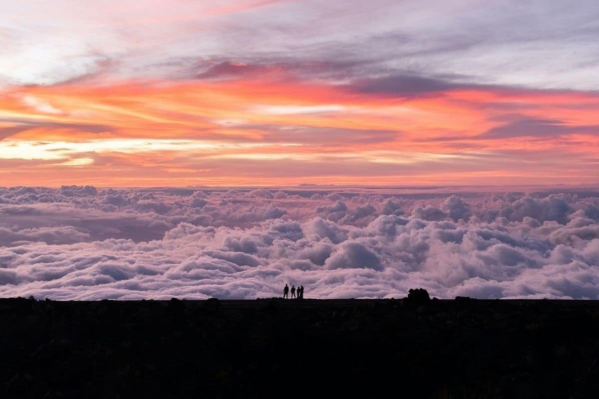
Then the sun disappears.
Don't immediately start the car.
Something else is about to happen.
Stay for the Stars
Haleakalā's high elevation, relatively dry summit air and distance from major sources of light pollution can produce remarkable night skies.
As darkness deepens, stars begin appearing overhead.
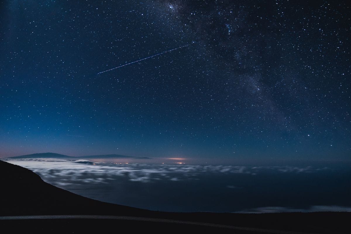
Then more appear.
And more.
For children accustomed to city skies, the number can be startling.
We don't need a telescope or an astronomy lesson. Find a safe place, dress warmly and look up for a few minutes.
The Pacific Ocean surrounds us, the summit rises above much of the atmosphere's moisture and suddenly Maui feels very small beneath an enormous sky.
This may be one of the quietest moments of the entire road trip.
Why Astronomers Value Haleakalā
The same conditions that make the summit wonderful for stargazing also make Haleakalā important for astronomical observation.
Scientific facilities on the mountain study the sun, planets, asteroids and other astronomical phenomena.
But scientific value isn't the only perspective that matters.
The summit is also culturally significant to Native Hawaiians, and debates surrounding observatories and development on Hawaiian mountains remind us that scientific, cultural and spiritual relationships with a landscape can overlap—and sometimes conflict.
We don't need to solve those questions during a family visit.
We simply need to understand that a mountain can mean different things to different people at the same time.
One of Those Moments...
Perhaps we're standing near the summit after sunset.
The wind is cold enough that everyone has zipped jackets to the top, and the tropical heat of the beach now feels impossibly far away.
Below us, clouds hide much of Maui. Above us, stars appear one by one until the sky seems crowded with them.
Yesterday we drove through rainforest and watched waves strike black volcanic rock. This morning we followed a trail past waterfalls and bamboo. Now we're standing more than 10,000 feet above the Pacific beside plants found naturally nowhere else on Earth.
All of it happened on the same island.
That's when Maui's scale begins to make sense—not its size on a map, but the number of different worlds contained within it.
The Road Back Down
Eventually, we have to leave.
Descending Haleakalā feels like travelling through the chapter in reverse.
The barren summit gives way to shrubs and grasslands, then farms, trees and communities. Temperatures rise, the air feels heavier and eventually the ocean reappears far below.
After so much concentration on destinations, this final descent gives us time to think about the journey itself.
That's appropriate because the Road to Hana was never really about reaching Hana.
And Haleakalā was never simply about reaching the highest viewpoint.
Both experiences were about understanding how Maui changes as we move through it.
What the Road to Hana Taught Us
At the beginning of the chapter, the Road to Hana looked like a collection of attractions: waterfalls, rainforest, banana bread, black sand and a famous winding highway.
By the end, those pieces fit together differently.
Rain falls on Haleakalā and feeds streams descending toward the sea. Hawaiian communities developed systems connecting mountain, freshwater, agriculture and ocean. Polynesian voyagers crossed the Pacific using knowledge accumulated over generations, while later Hawaiian history brought kingdoms, political upheaval and continuing efforts to preserve language and culture.
Volcanoes created the island. Erosion reshaped it. Plants and animals evolved in isolation, while people introduced other species that transformed the landscape again.
The scenery was always beautiful.
Understanding it made it meaningful.
What Families Should Remember About the Road to Hana
If there's one practical lesson from this entire chapter, it's simple:
Do less.
Don't attempt every waterfall. Don't stop illegally because an online map promises a secret viewpoint, and don't measure success by the number of photographs taken between Paia and Hana.
Choose a few meaningful experiences and give them time.
Stay overnight if it suits the itinerary and budget. Walk through the rainforest instead of only photographing it from the car. Learn a little Hawaiian history, support local businesses and remember that East Maui is a community before it is an attraction.
Then give Haleakalā its own day rather than turning the summit into another box that needs checking.
Slower travel usually produces better stories.
One Final Look at Maui
Before leaving the island, find somewhere to look toward Haleakalā one last time.
From sea level, the mountain may appear softened by clouds and distance. It's difficult to believe that only recently we were standing near its summit in cold air beneath a sky full of stars.
Somewhere on the far side lies Hana. Rain is falling in the forest, streams are descending through Kīpahulu and waves continue breaking against the black volcanic coast at Waiʻānapanapa.
None of those places exists independently.
The mountain connects them.
And perhaps that's the most useful thing this final road trip has taught us.
A great journey doesn't simply connect attractions on a map.
It helps us see the connections that were already there.
One Last Family Moment...
Perhaps the final photograph isn't taken at a waterfall or from the summit.
Maybe it's something much simpler.
The family is standing beside the car somewhere on Maui, shoes still carrying a little dried mud from the Pīpīwai Trail. Somebody has a jacket tied around their waist despite the tropical heat because we needed it on Haleakalā. There may even be crumbs from yesterday's banana bread hiding somewhere in the car.
Everyone looks slightly tired.
Good.
That means we actually went somewhere.
Years from now, the children may not remember the names of every waterfall or viewpoint. They may forget exactly where we stopped for banana bread or which bridge somebody declared was their favourite.
But perhaps they'll remember the sound of bamboo moving in the wind.
They'll remember walking on black sand, standing above the clouds and looking at more stars than they knew existed.
And maybe they'll remember that the best part wasn't reaching Hana at all.
It was everything that happened along the way.
The End of the Road
Across eleven chapters, we've travelled an extraordinary distance.
We've followed roads through mountains, deserts, forests, coastlines, national parks, cities, small towns and landscapes shaped by water, ice, fire and time.
We've encountered Indigenous histories extending far beyond the modern highways, followed explorers and settlers across a continent, stood at places shaped by migration and conflict and watched how communities adapted to the landscapes around them.
We learned that roads can tell stories.
Some lead through geological history. Others follow migration routes, rivers or coastlines. Some connect famous national parks, while others bring us into communities we might otherwise have driven past.
The best road trips do more than move a family from one attraction to another.
They give us time to understand the distance between them.
What Makes a Great Family Road Trip?
It isn't the number of miles.
It isn't the number of national parks, famous viewpoints or photographs stored on a phone.
A great family road trip happens when the journey becomes part of the memory.
It's the picnic nobody planned, the wildlife sighting that stopped traffic, the small museum everyone unexpectedly loved and the viewpoint where somebody asked a question that changed the conversation.
It's getting lost occasionally, changing the plan when weather moves in and knowing when everyone has seen enough for one day.
Most importantly, it's having time together in the space between destinations.
The road gives families something increasingly rare: uninterrupted time to notice the world—and one another.
Choose the Journey That Fits Your Family
No family should attempt every road trip in this guide exactly as we've described it.
Use these chapters as inspiration rather than instructions.
Choose the journey that fits the children's ages, the family's interests, the available time and the budget. Shorten routes where necessary, stay longer somewhere everyone loves and skip attractions that don't interest you simply because somebody else called them essential.
Build rest days into longer journeys.
Leave room for weather.
Leave room for tired children.
And most importantly, leave room for surprise.
The memories families talk about years later are rarely the ones scheduled most precisely.
One Final Thought
At the beginning of this guide, we set out looking for some of the best family road trips in North America.
We found extraordinary roads.
But somewhere along the way, the roads became secondary.
What mattered were the landscapes they helped us understand, the communities they introduced us to, the stories we learned and the time families had to experience those things together.
That is why road trips endure.
A plane can move us across a continent faster. A carefully organised tour can make travel more efficient, and a list of attractions can ensure we don't miss the famous things.
But a road gives us something different.
It gives us the journey between them.
And sometimes, that's the part we remember most.
Get Ready for Your Family Road Trip
Plan your family road trip with great places to stay, memorable things to do and practical travel essentials for the journey.
Find Hotels & Places to Stay
Compare hotel and accommodation options for your family road trip.
🎟️ Find Things to Do Along the Way
Discover family-friendly attractions, tours and activities for stops along your route.
Family Road Trip Essentials
Pack smarter with practical travel gear for comfortable, organized family road trips.
More Helpful Family Travel Resources
A few more helpful guides for planning, packing and enjoying your next family adventure.
- Smart Family Travel Tips
- Family Travel Planning Guide
- Free Family Packing List
- 25 Best Family Travel Essentials
- The Ultimate Family Travel Gear Guide
- Family Travel Gear & Essentials
- Best Family Travel Destinations


More Family Road Trip Inspiration


About the Author
Bryan is the creator of Go With The Family, where he shares practical family travel tips, destination guides, and simple strategies to help families travel easier, spend smarter, and enjoy more meaningful trips together.
Disclosure: This post may contain affiliate links. If you make a purchase through these links, we may earn a small commission at no extra cost to you